McKinney Gypsy Caravan

One part travel blog. One part nerdy history lesson.

Page 8 of 27

Day 11 – Canyonlands National Park and Arches National Park

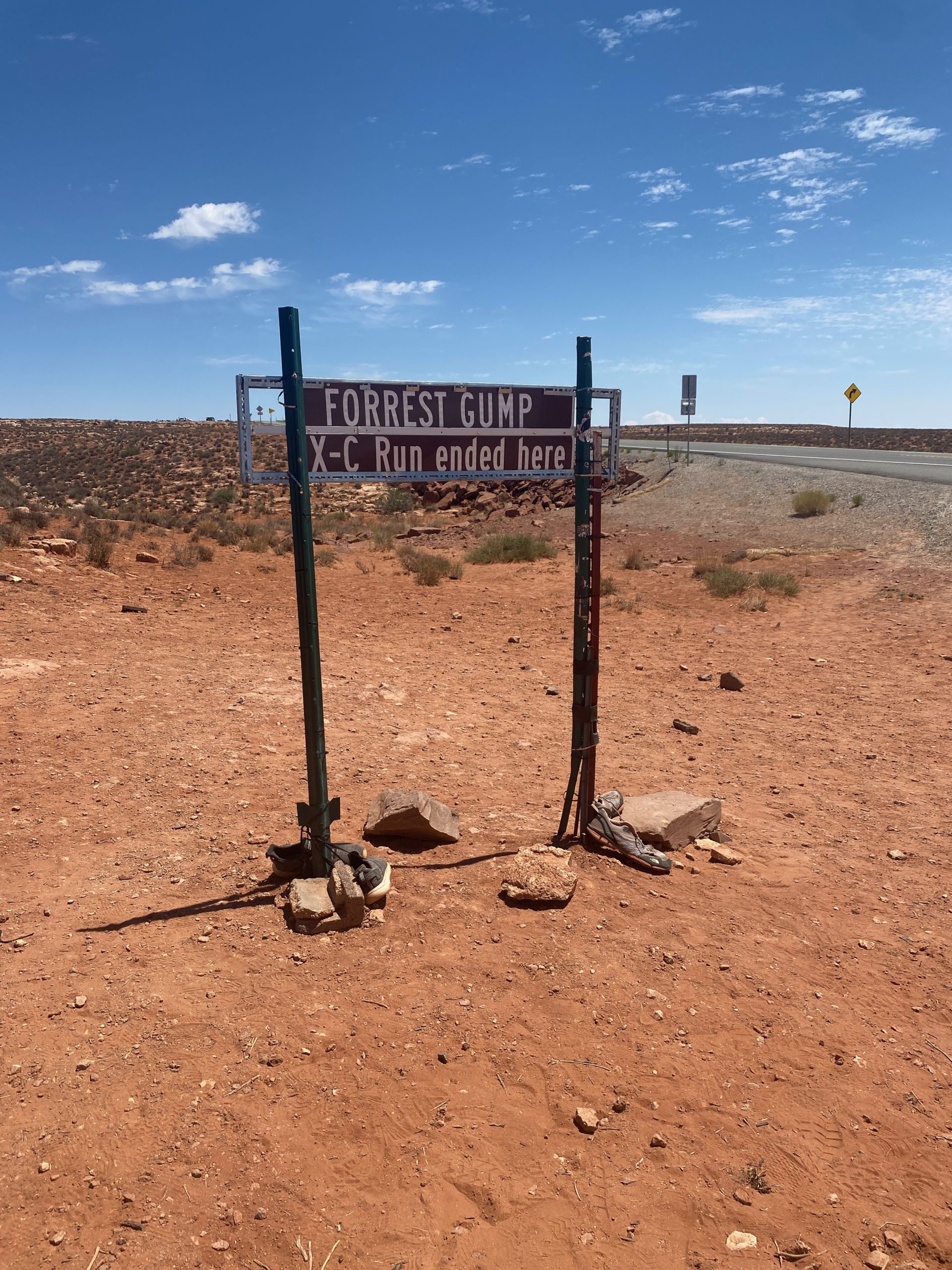
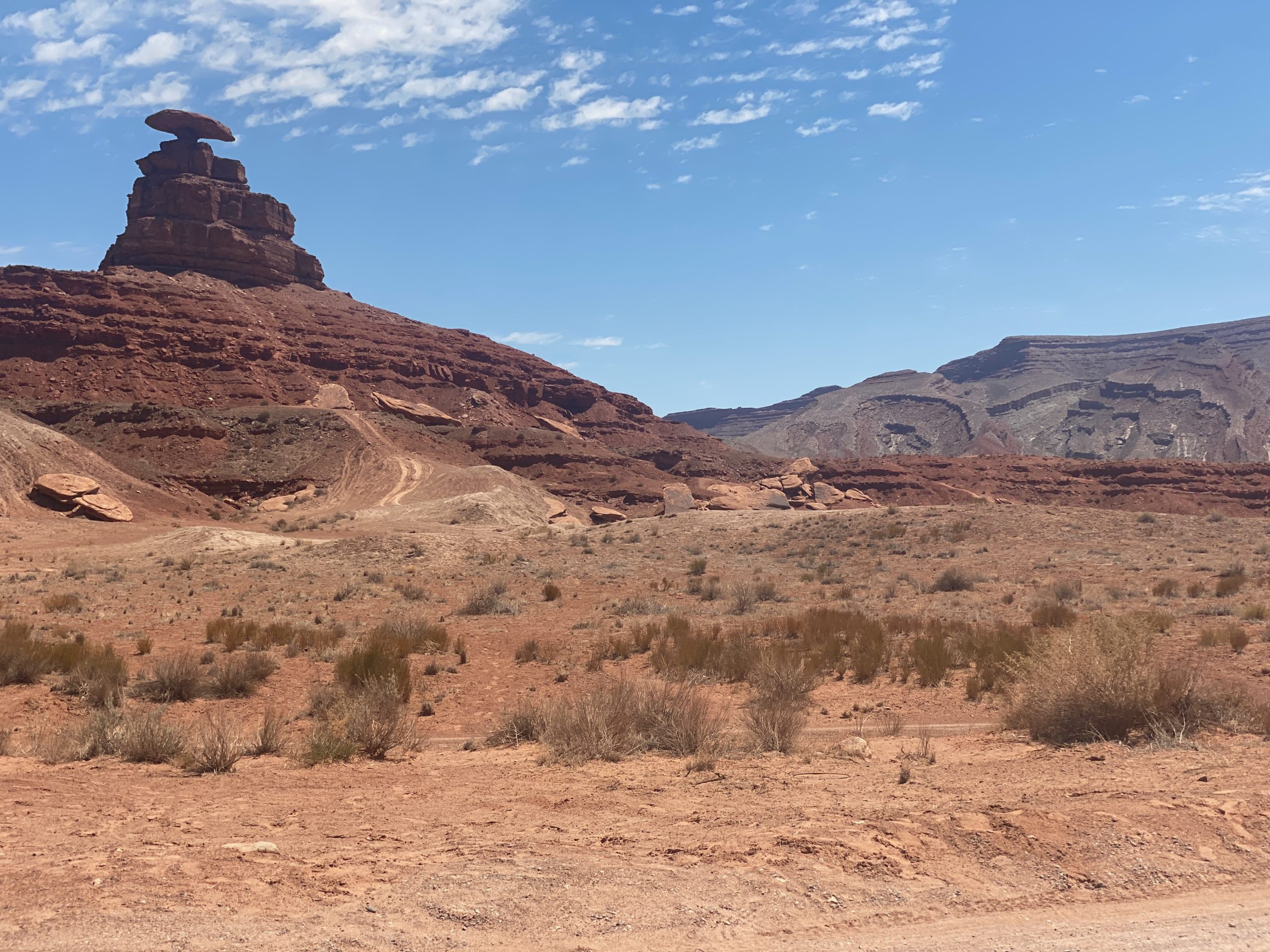
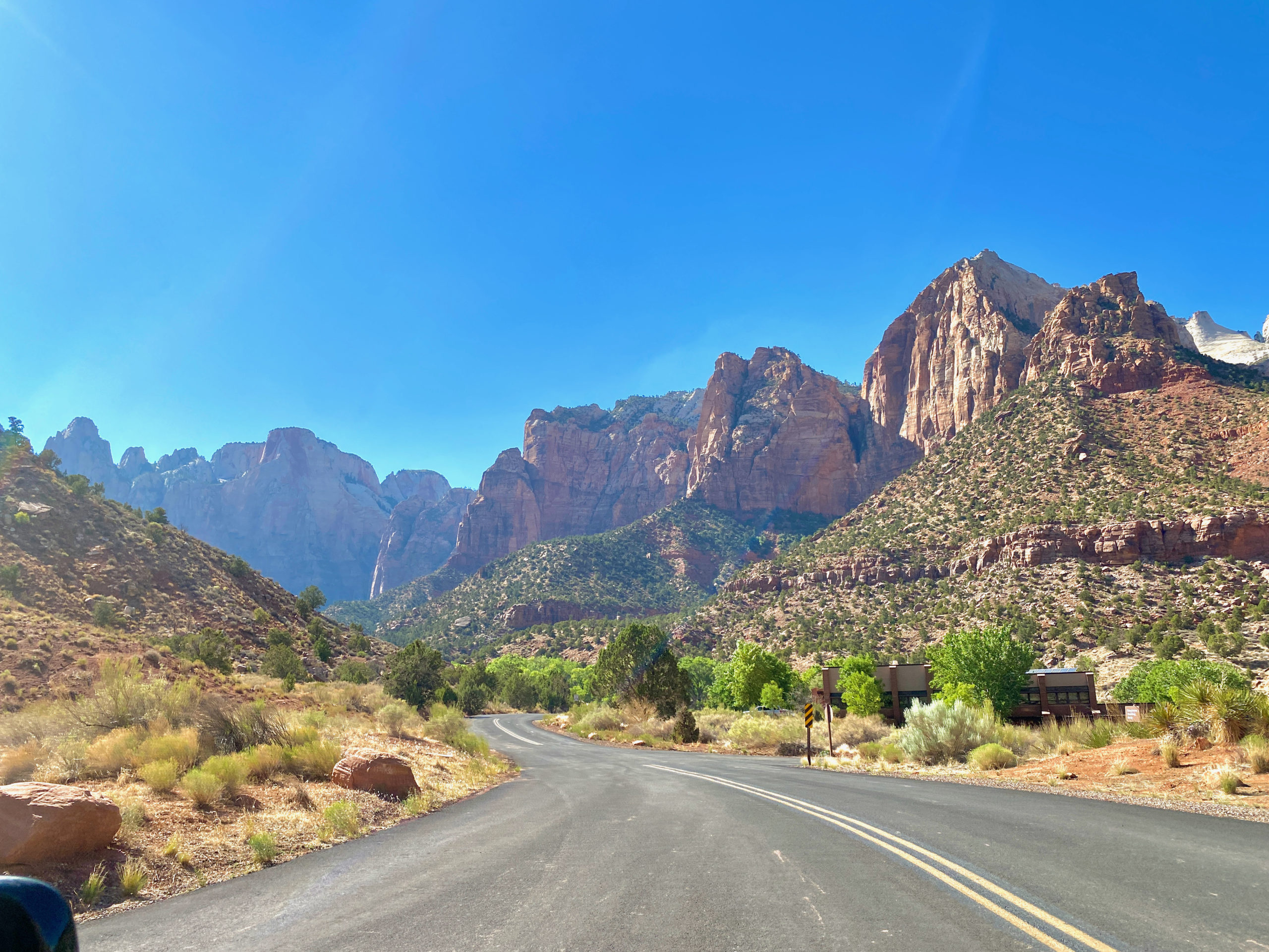
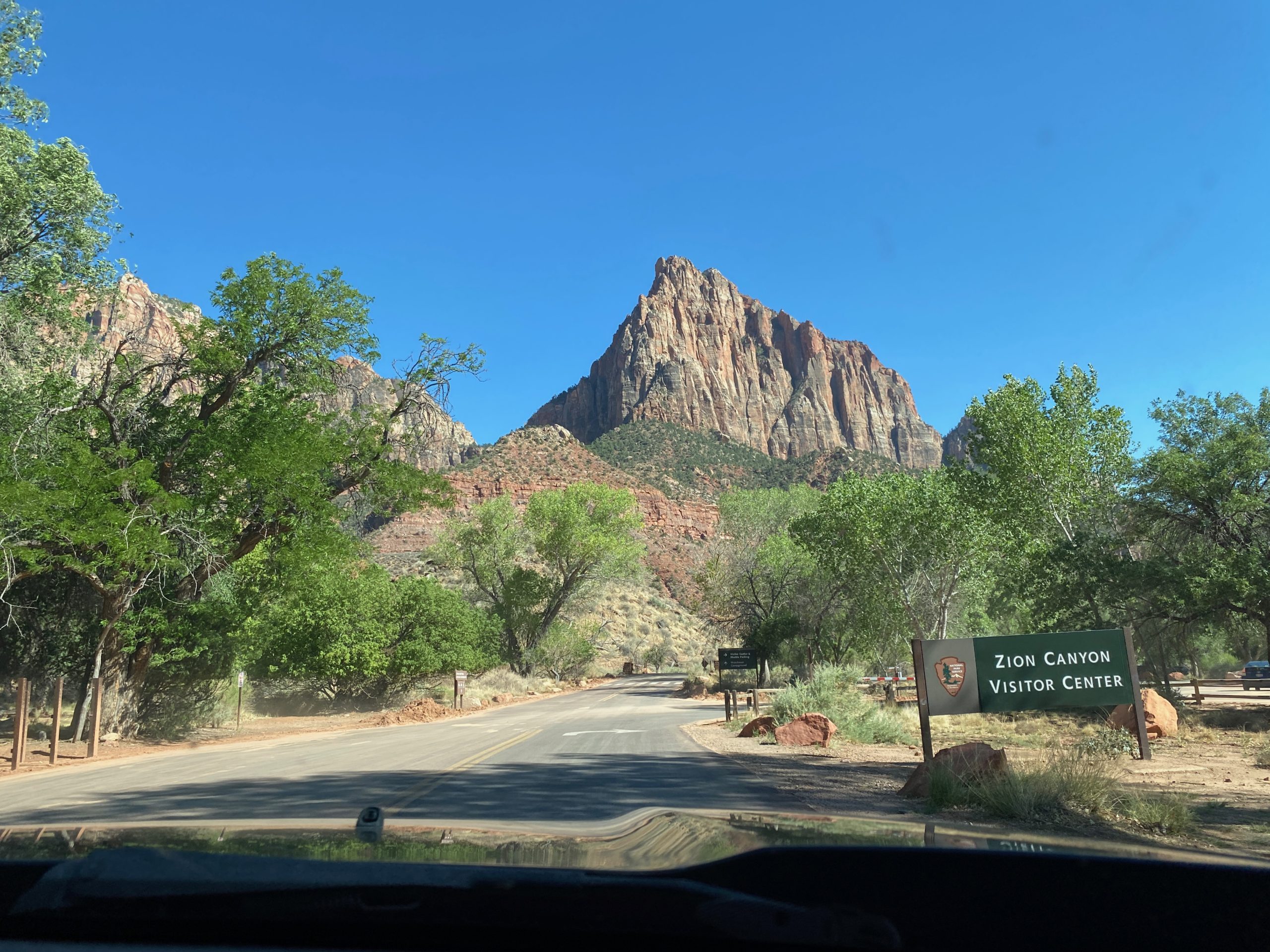
Today was all about Moab, Utah and 2 of the “Mighty 5” of Utah’s National Parks.

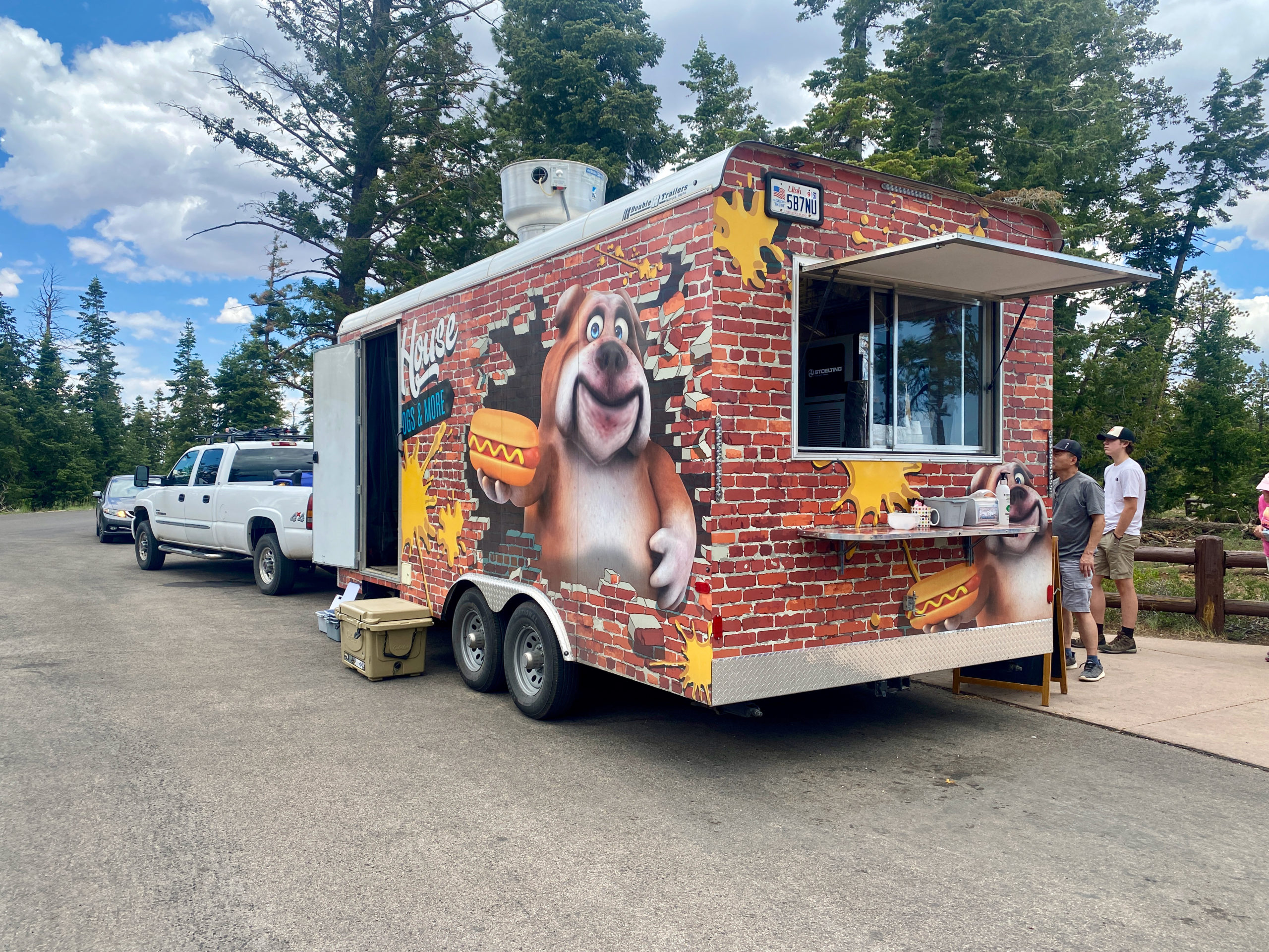
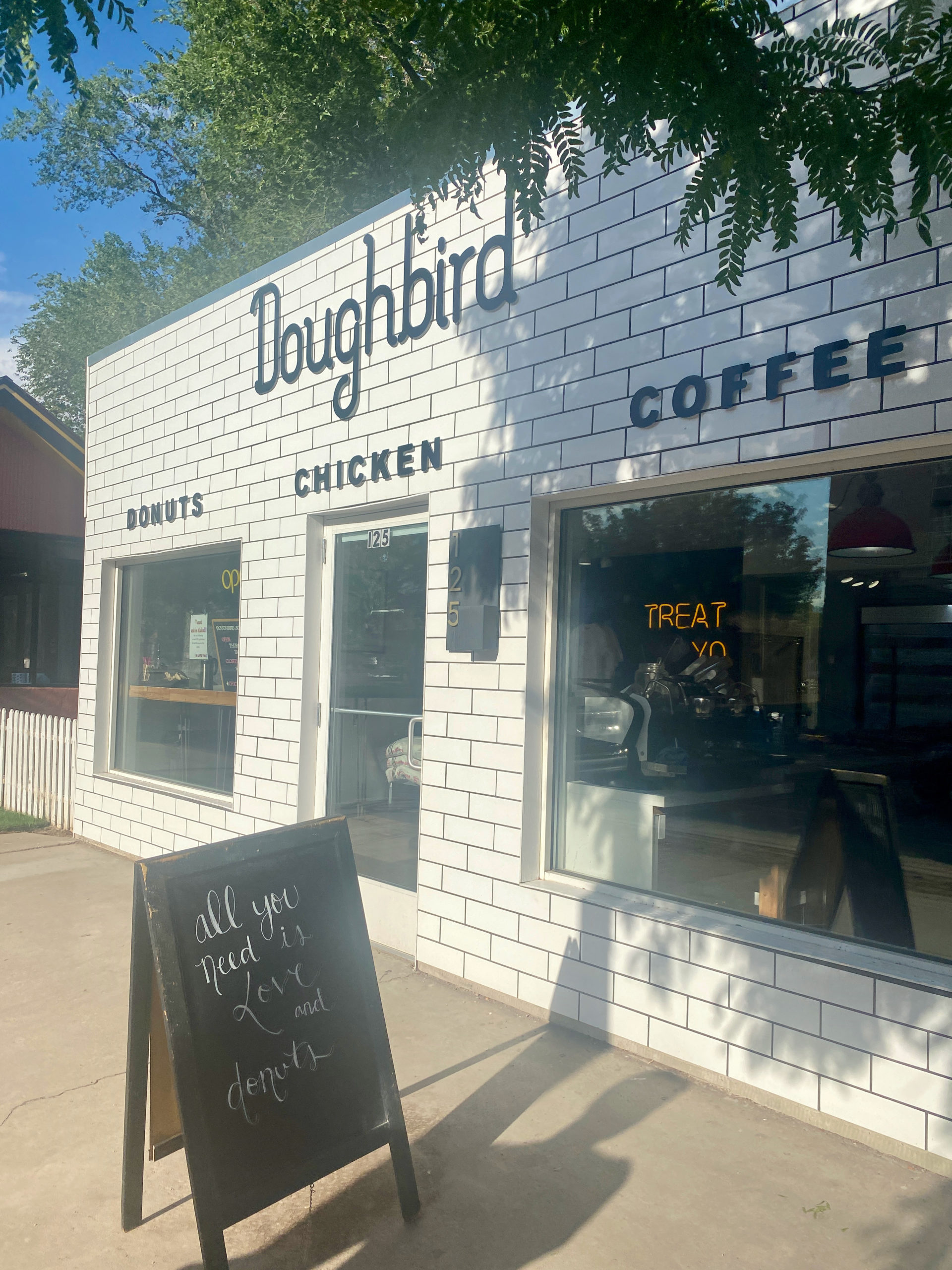
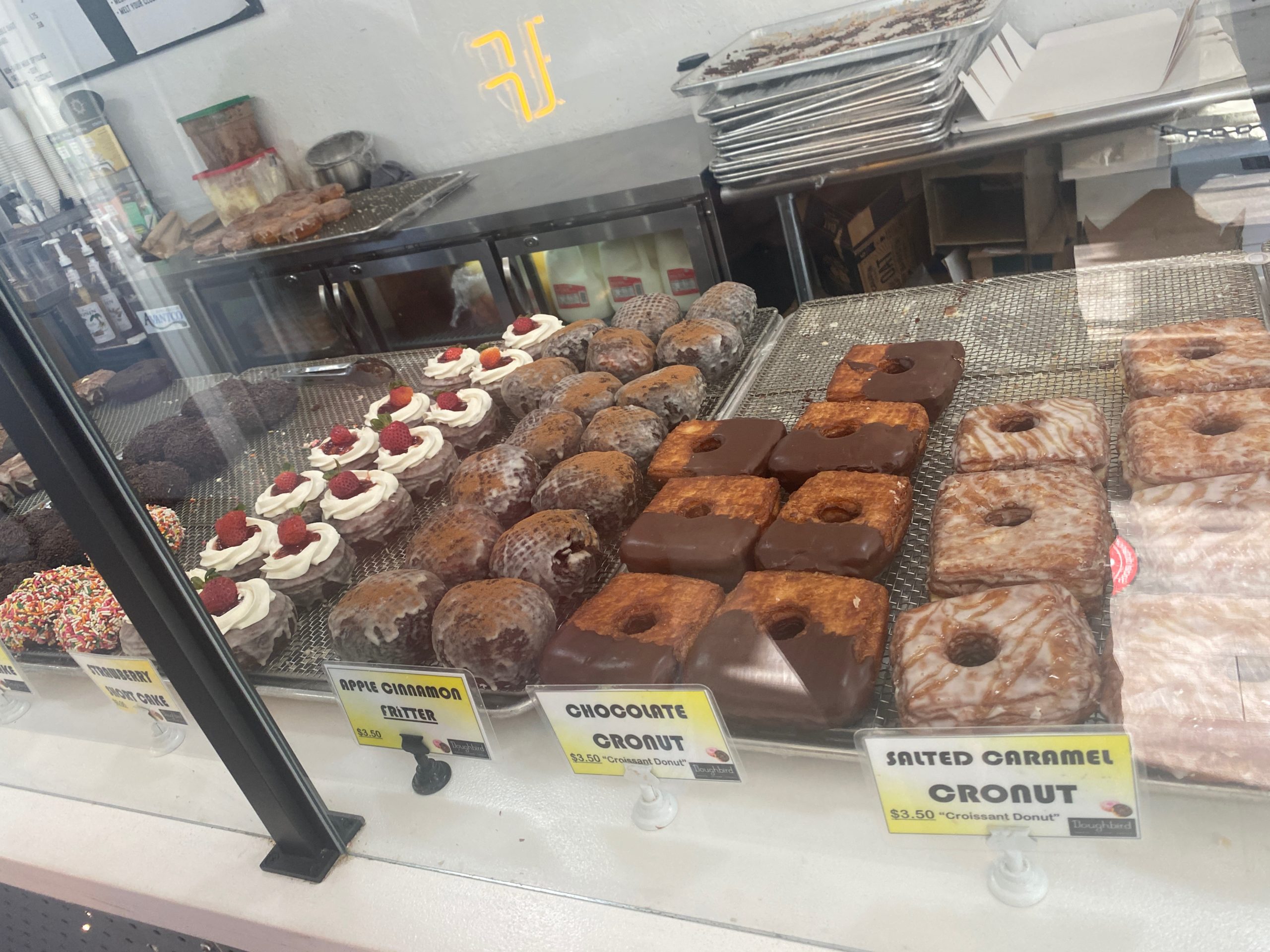
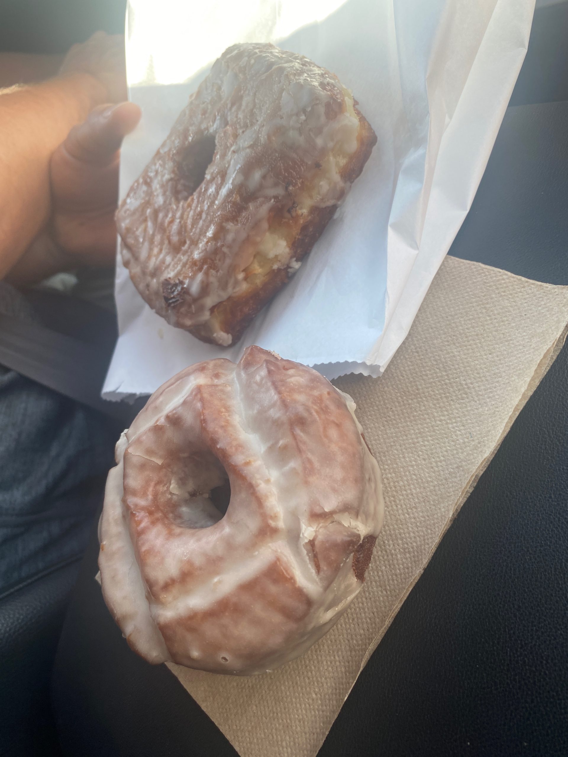
I had planned this stop for breakfast in Moab for Kegan… a donut shop serving breaded chicken breasts served with glazed doughtnuts for buns at a place called Doughbird.

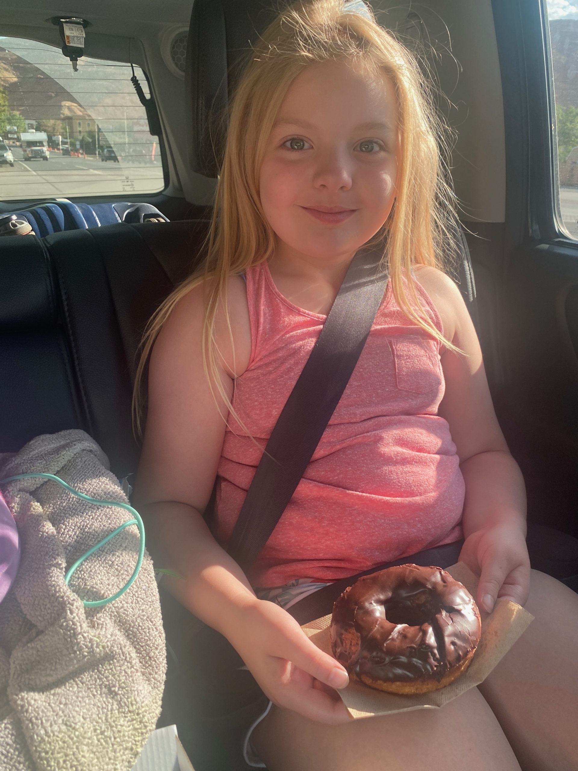
The problem is, Erin didn’t read the fine print. They only serve the doughnut chicken from 11am onward. ha So….doughnuts for breakfast were had!

Straight hair and chocolate glazed doughnuts make for a good morning.
Kegan continued his old man doughnut streak getting an old fashioned and a salted caramel cronut.

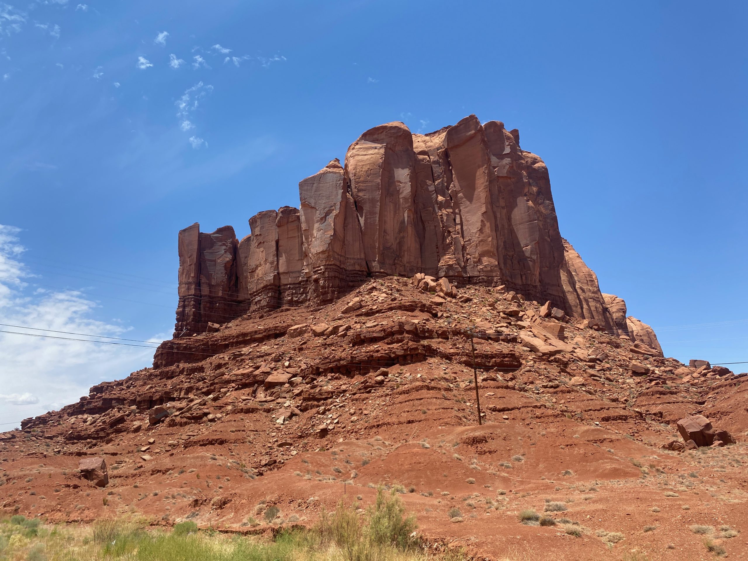
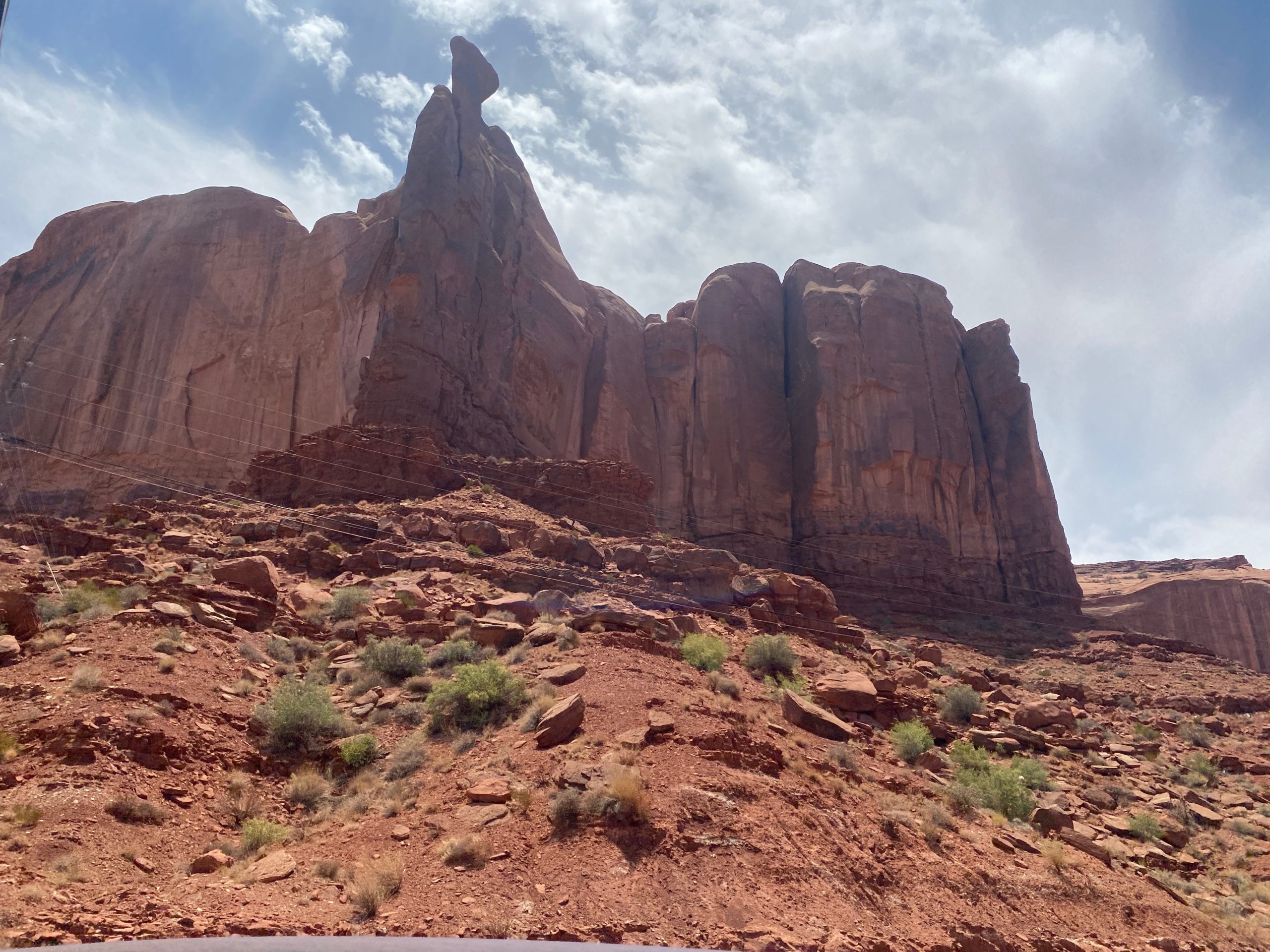
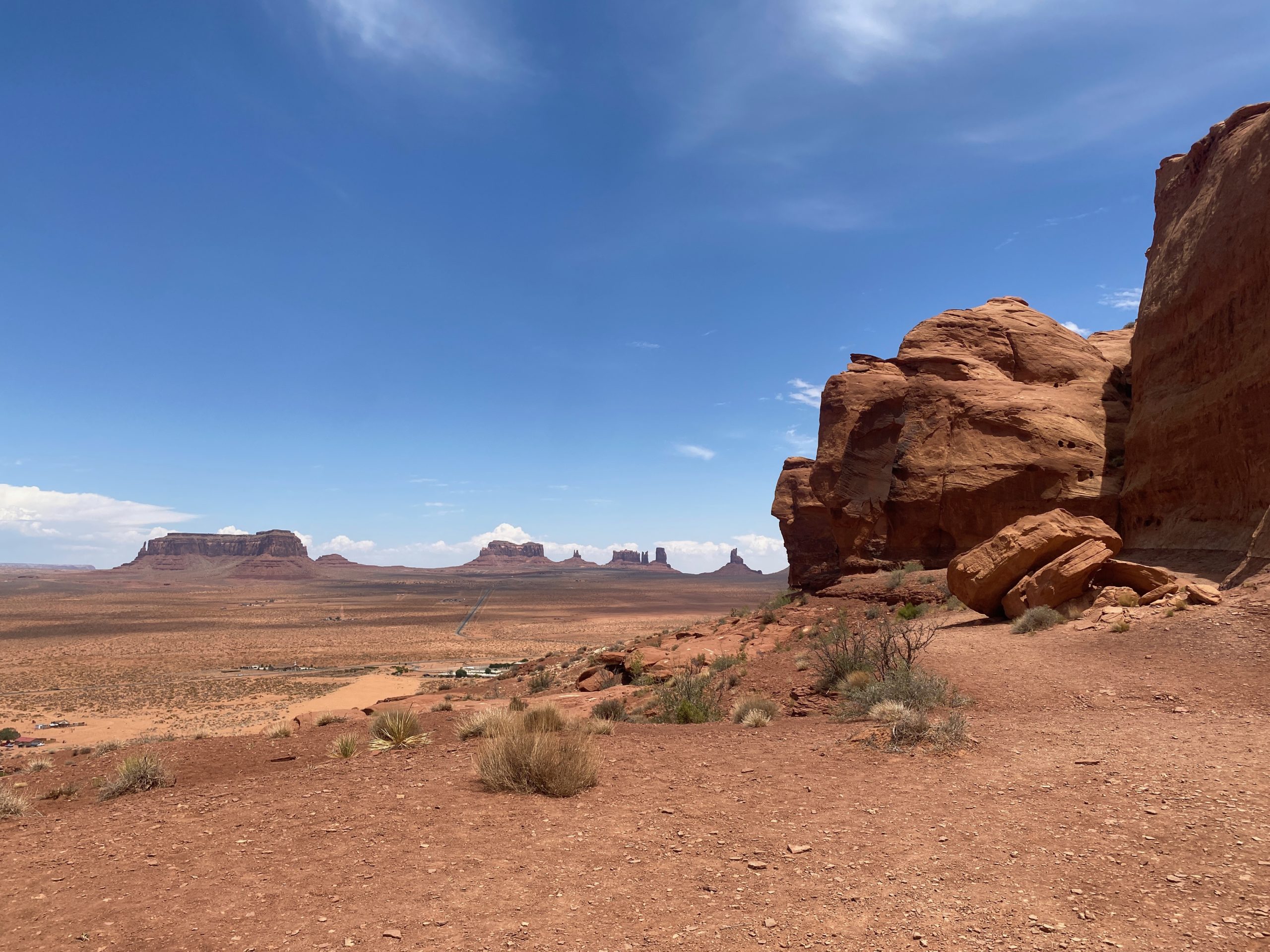
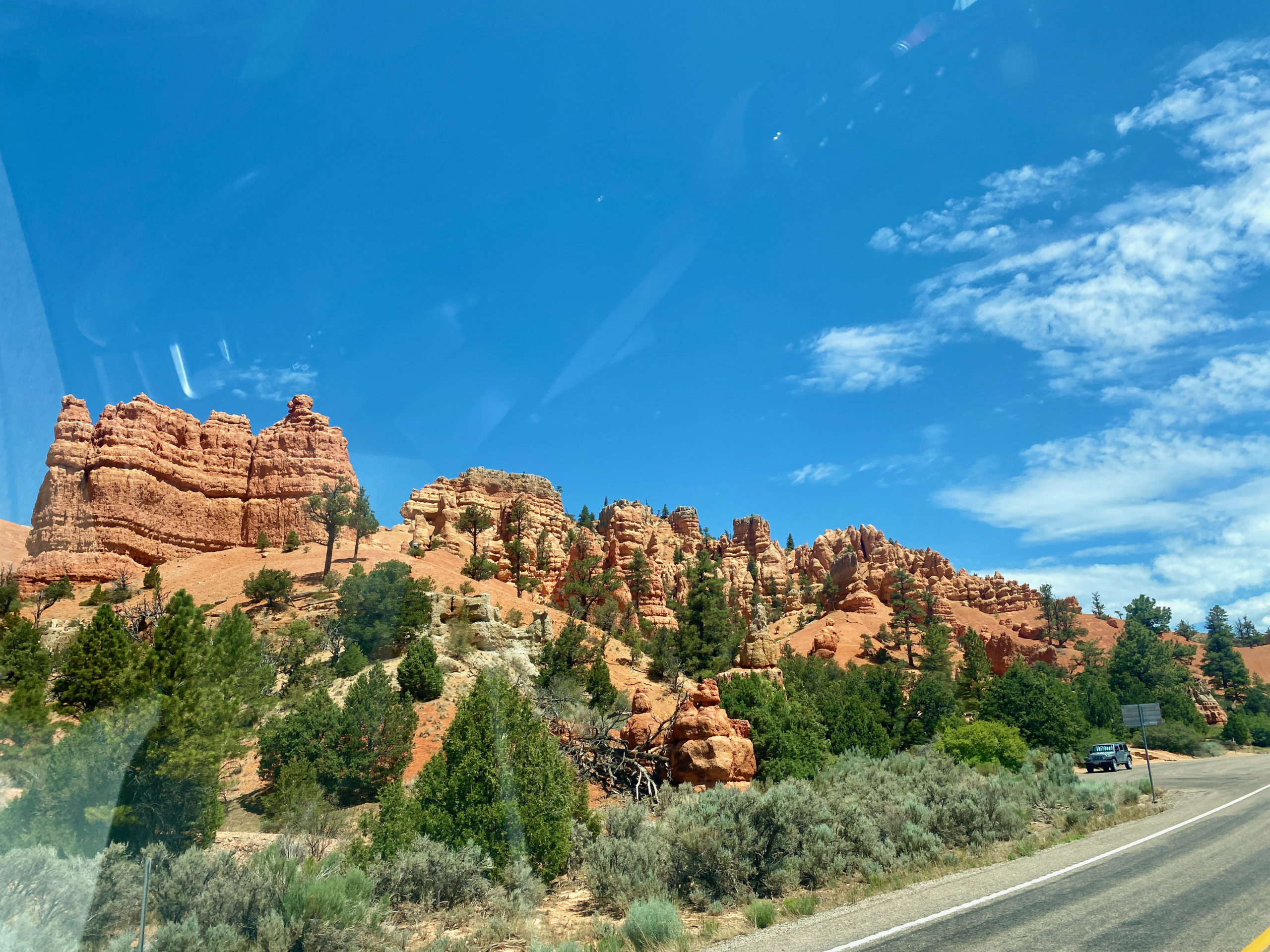
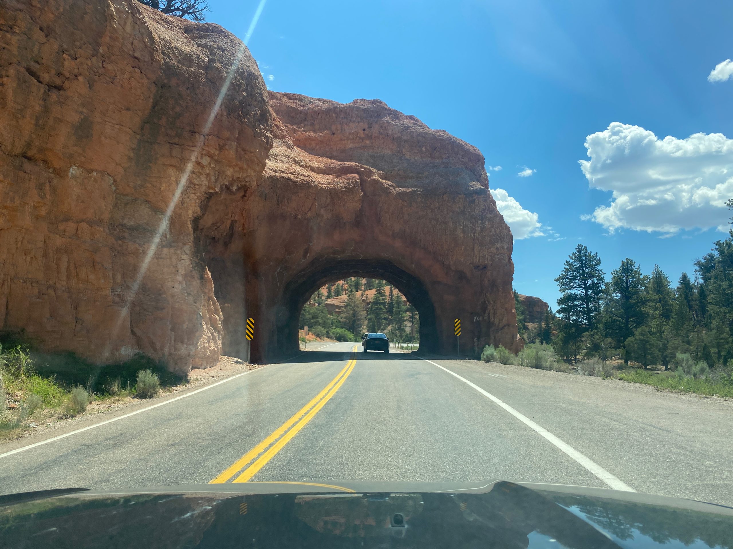
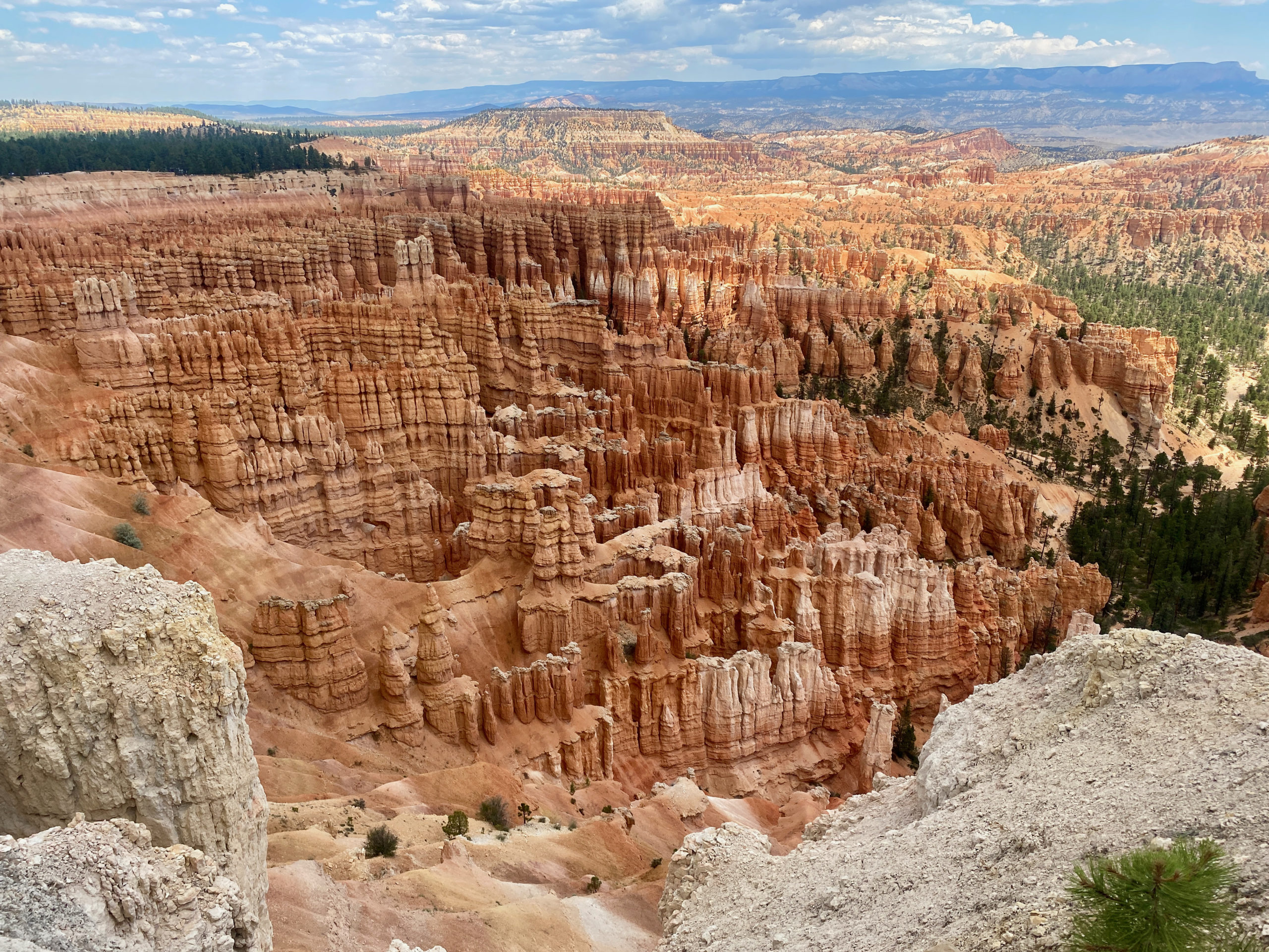
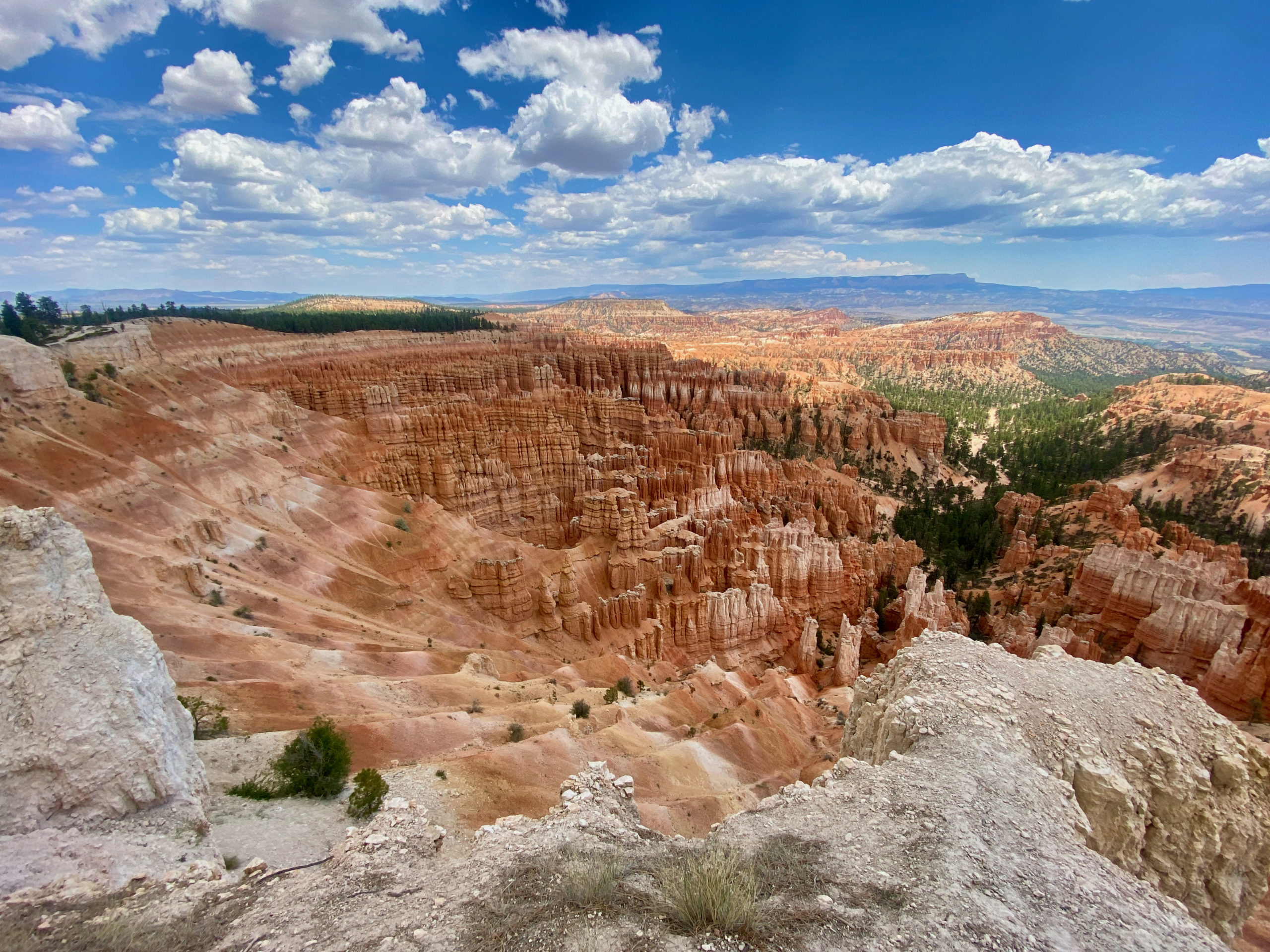
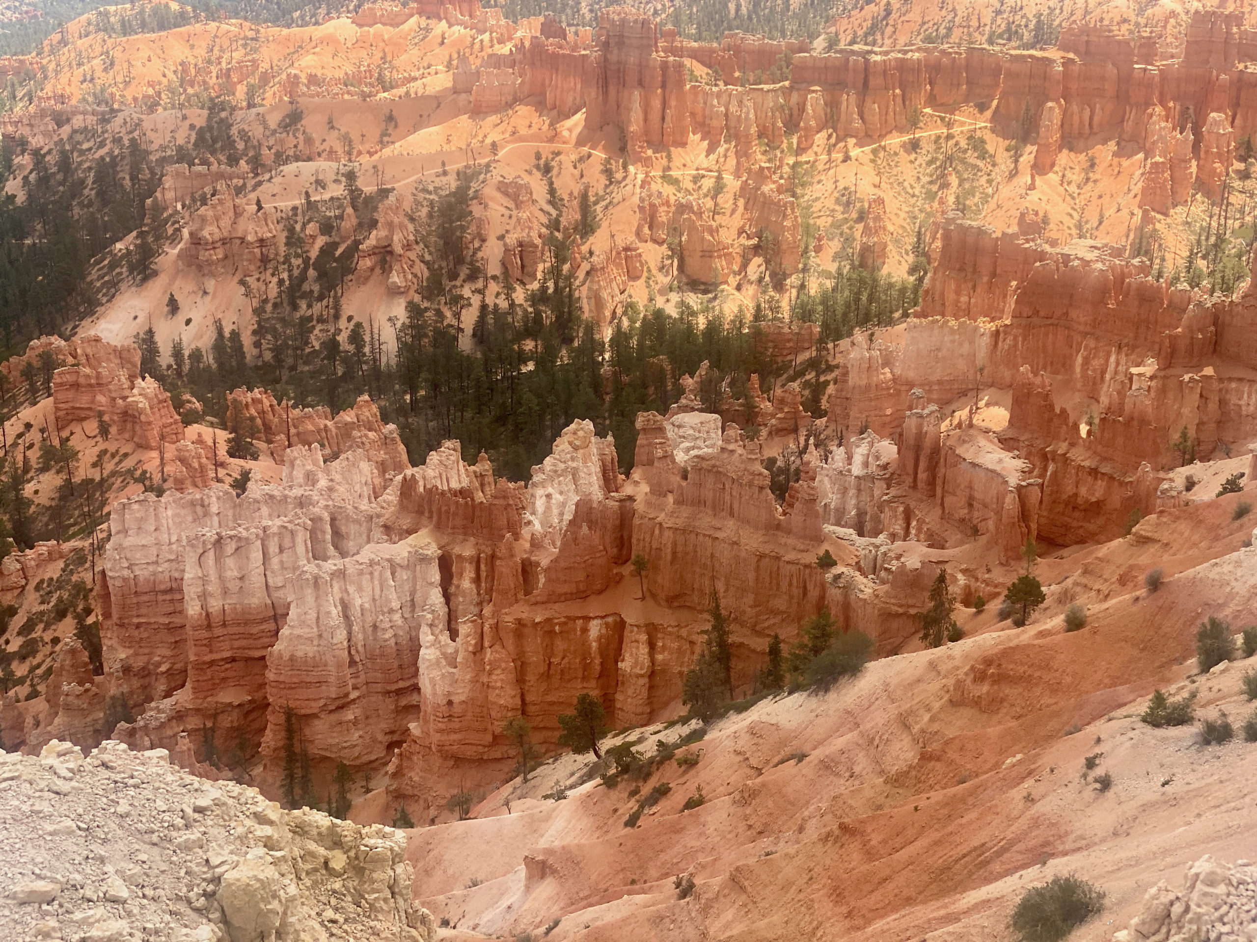
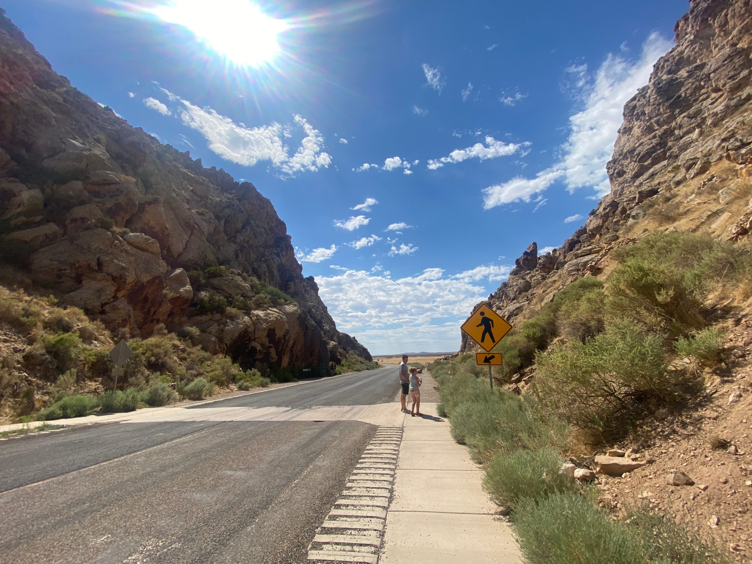
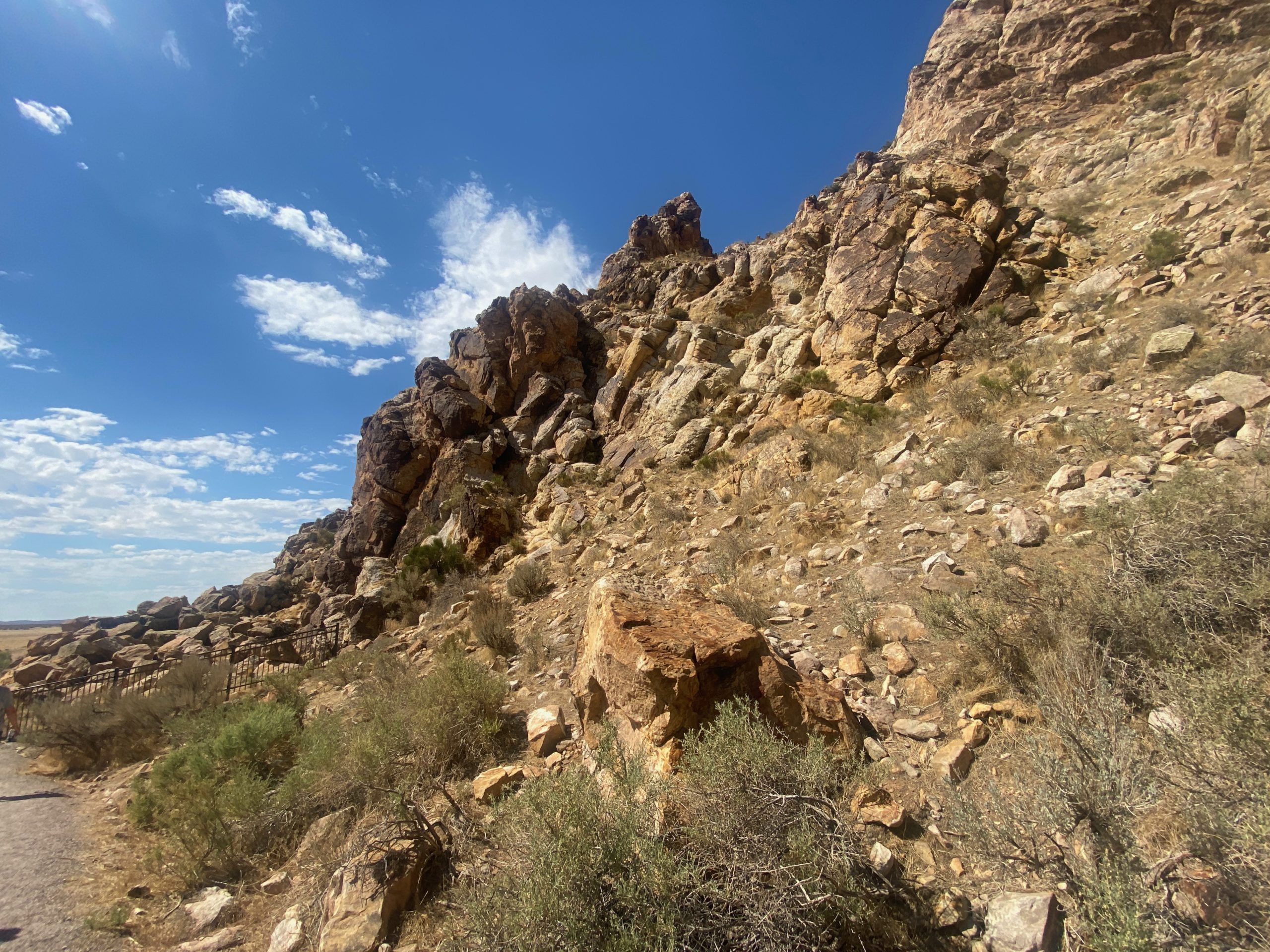
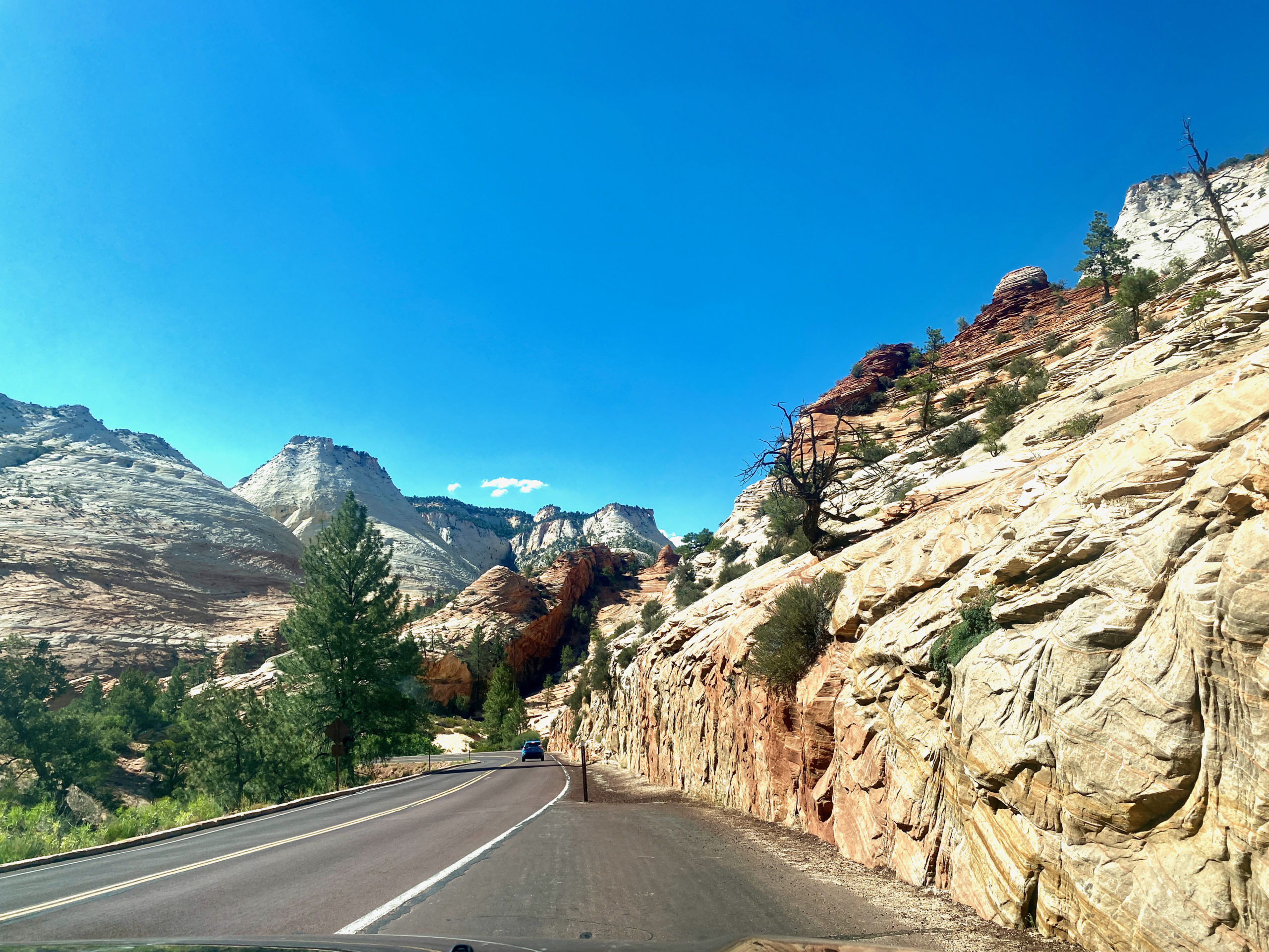
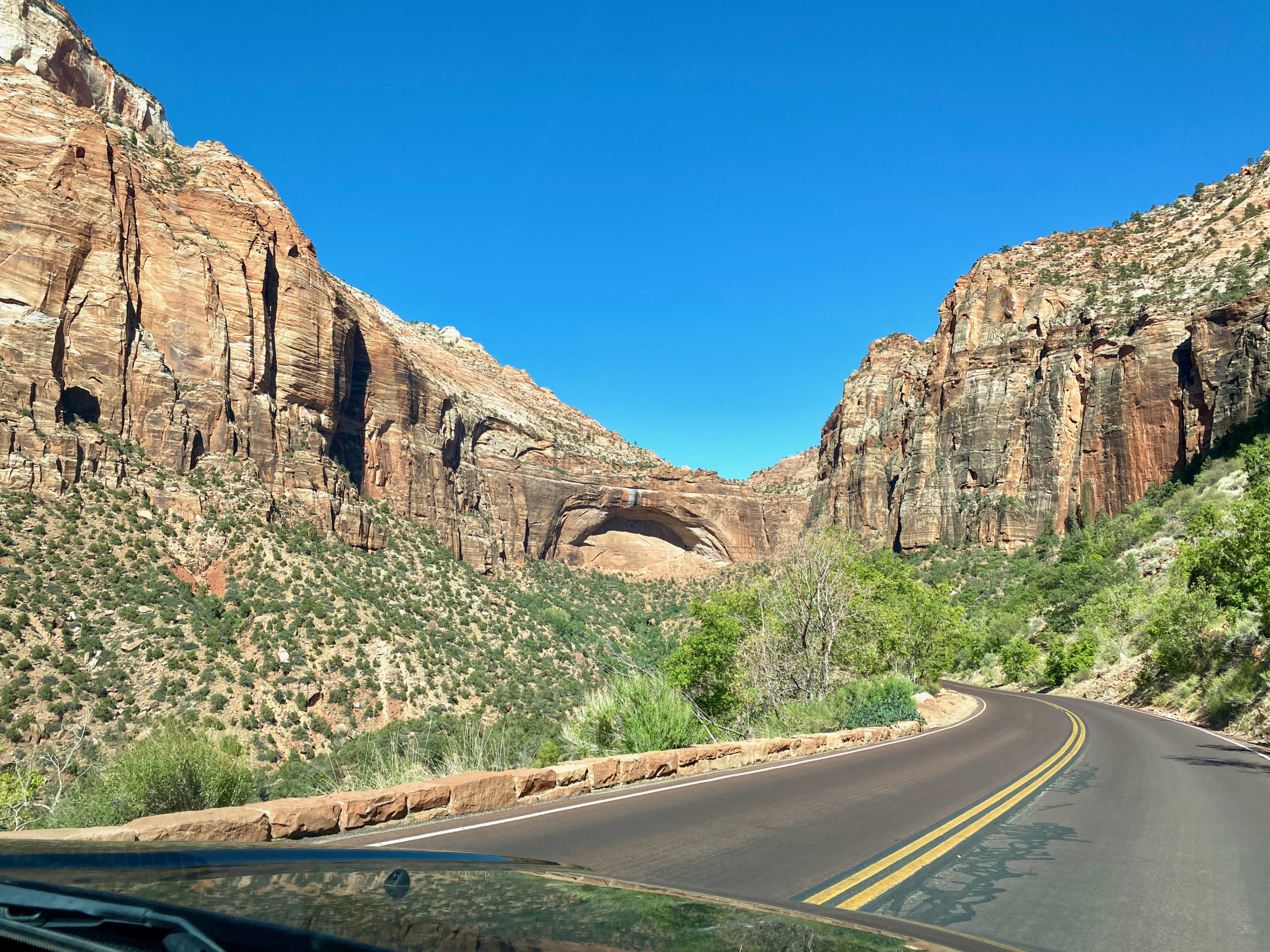
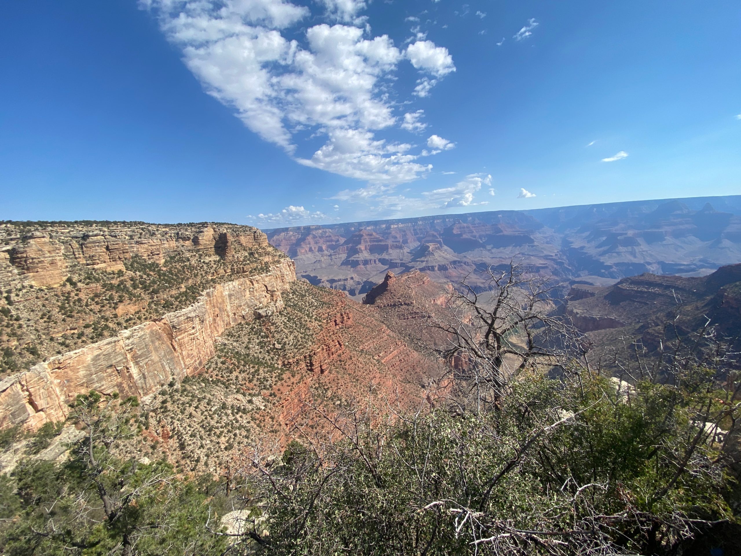
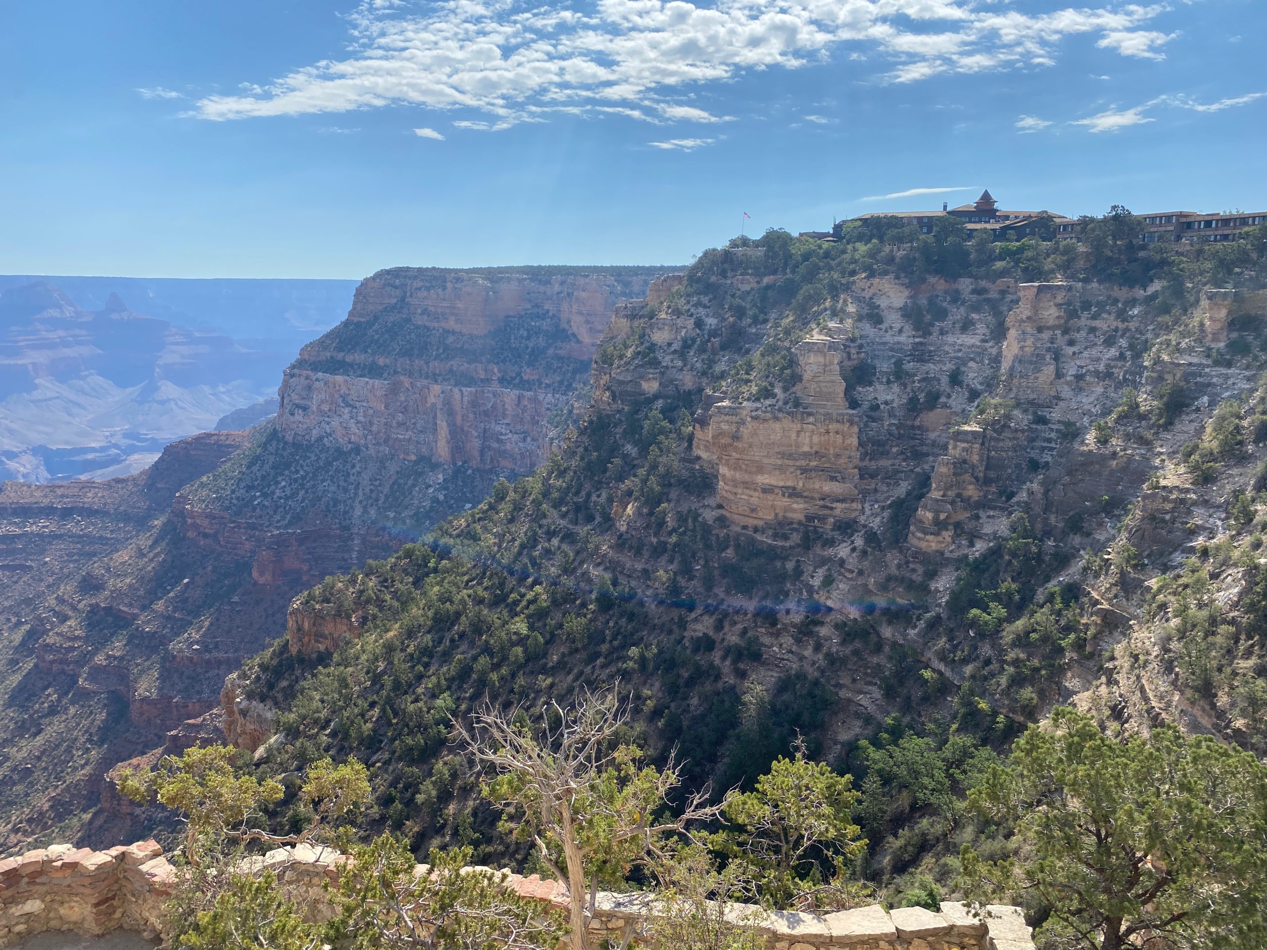
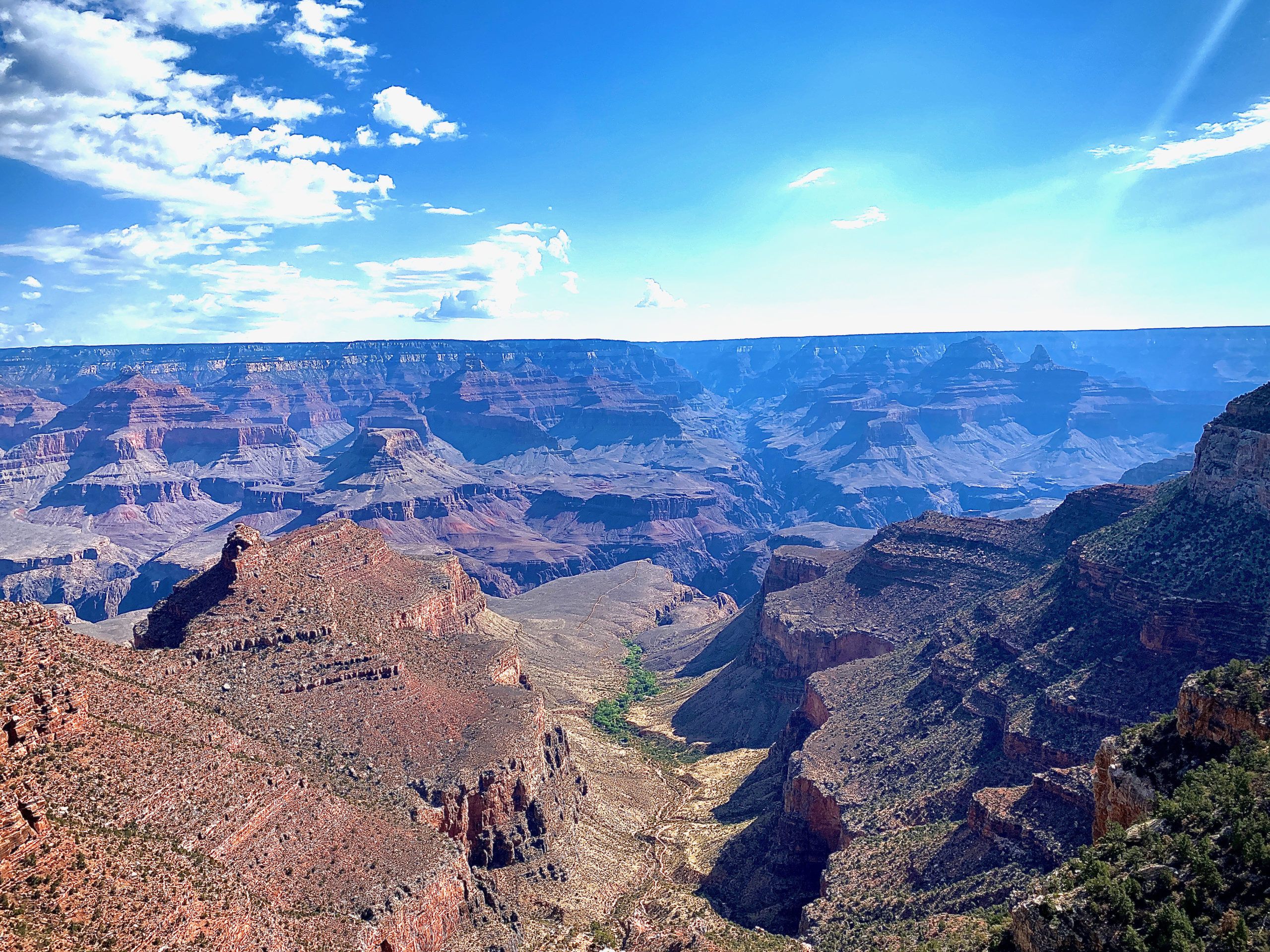
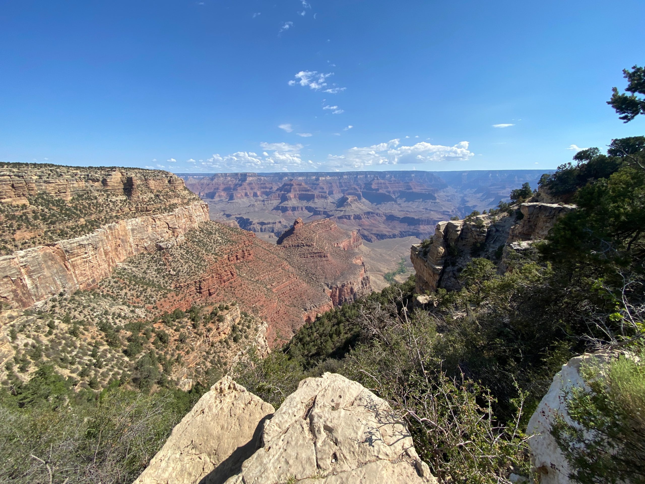
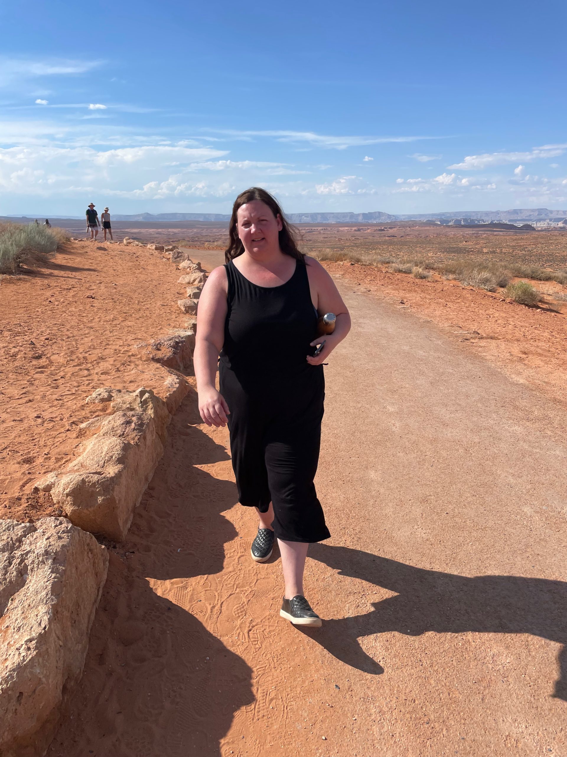
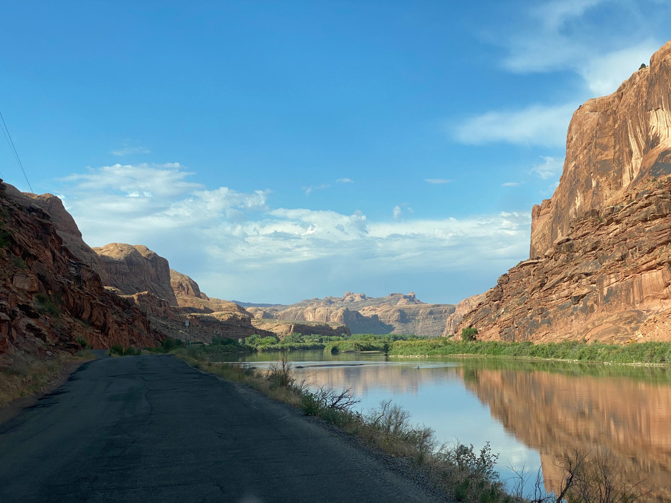
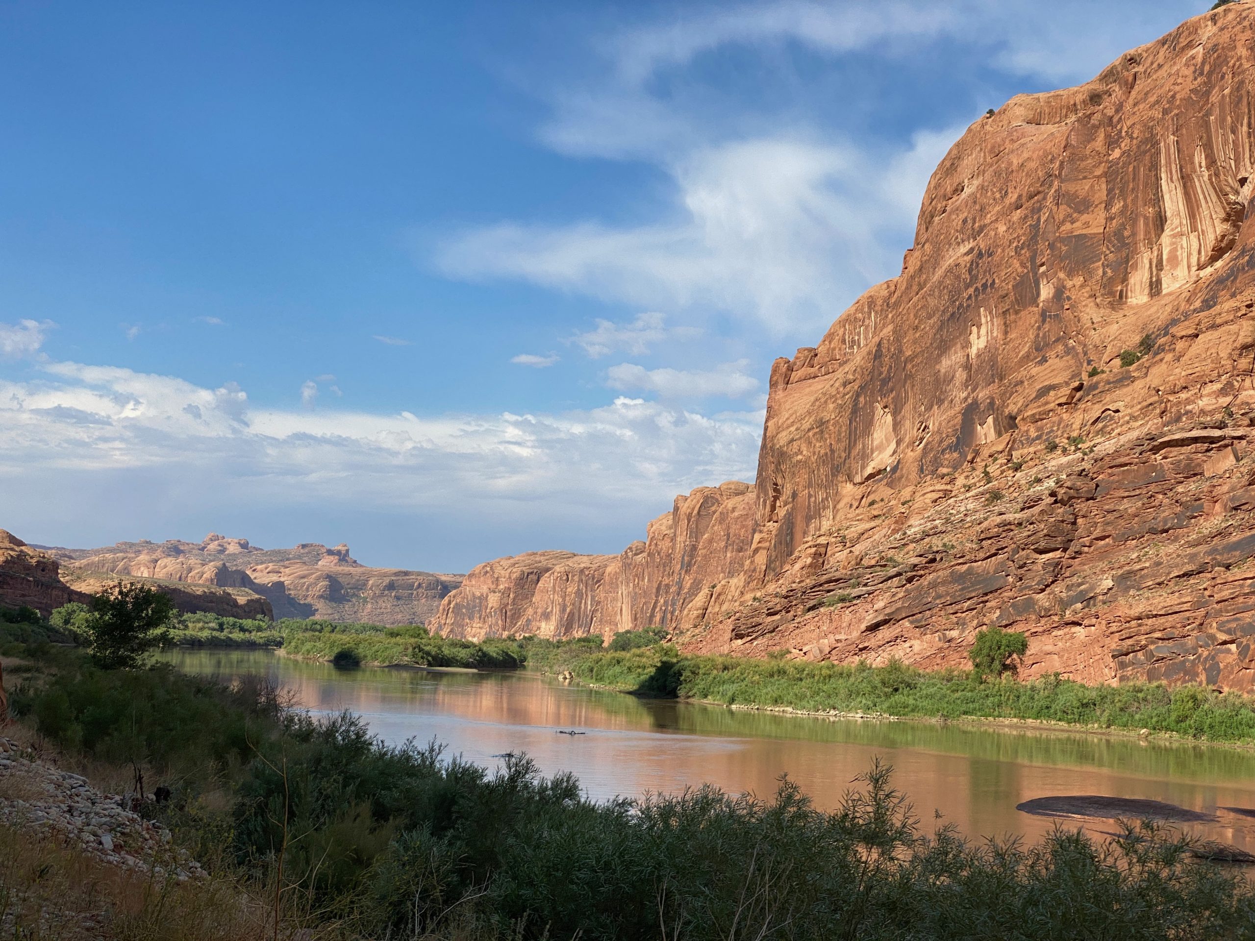
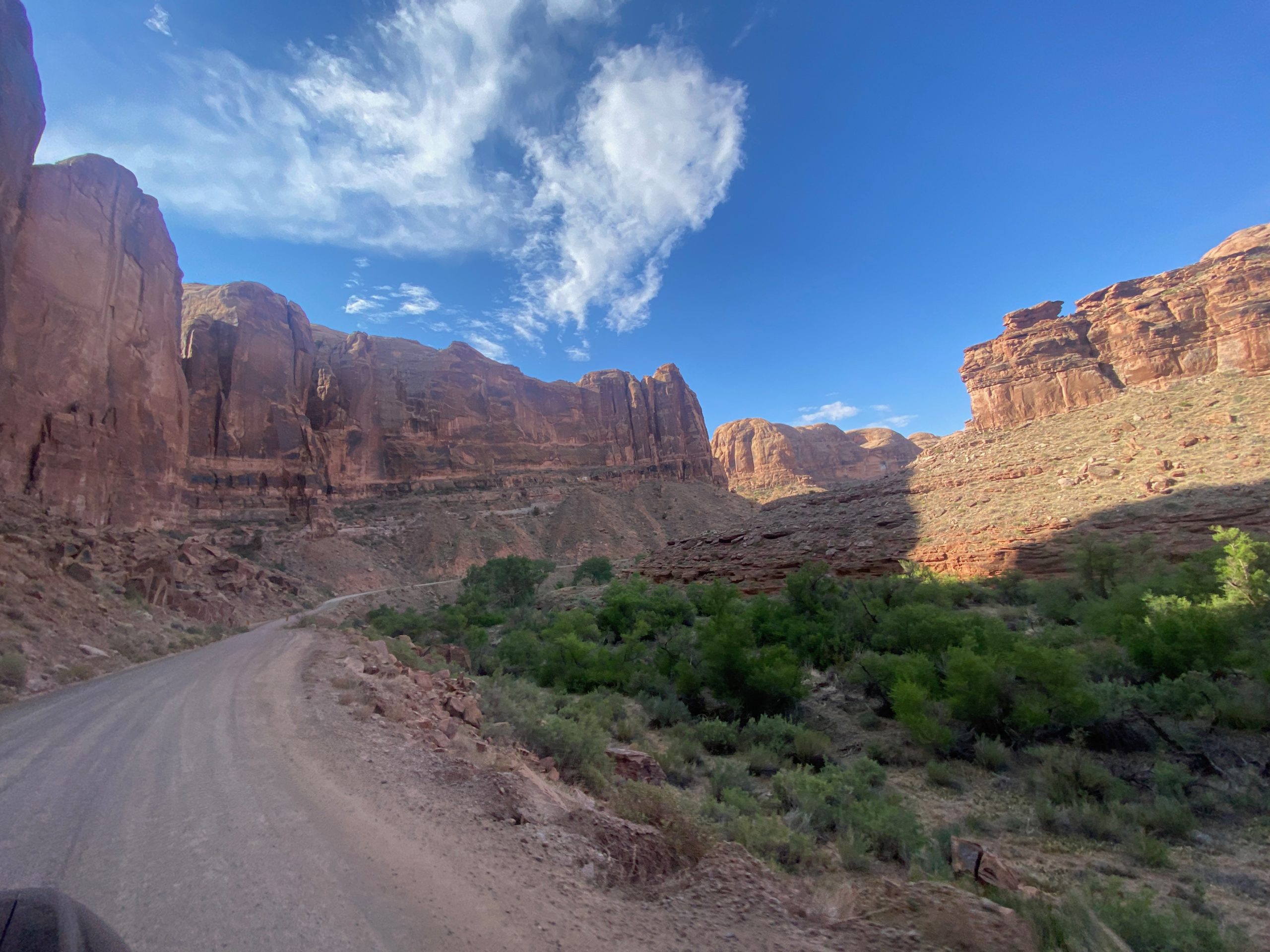
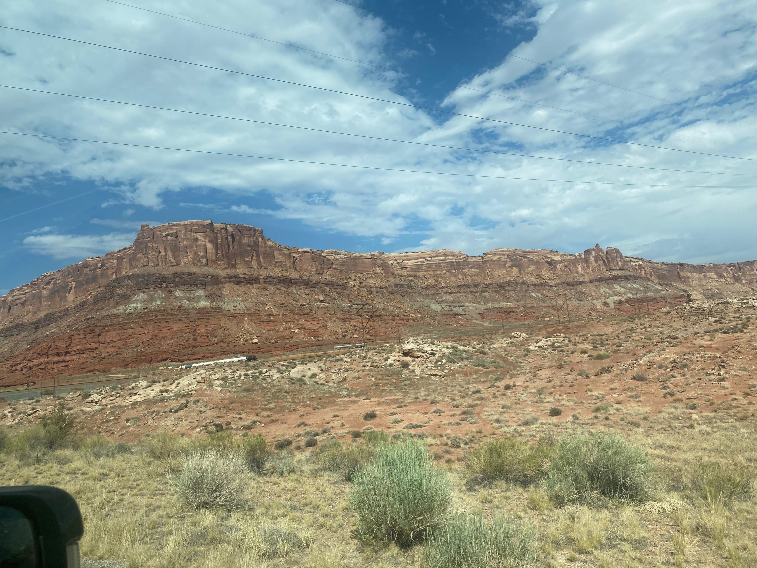
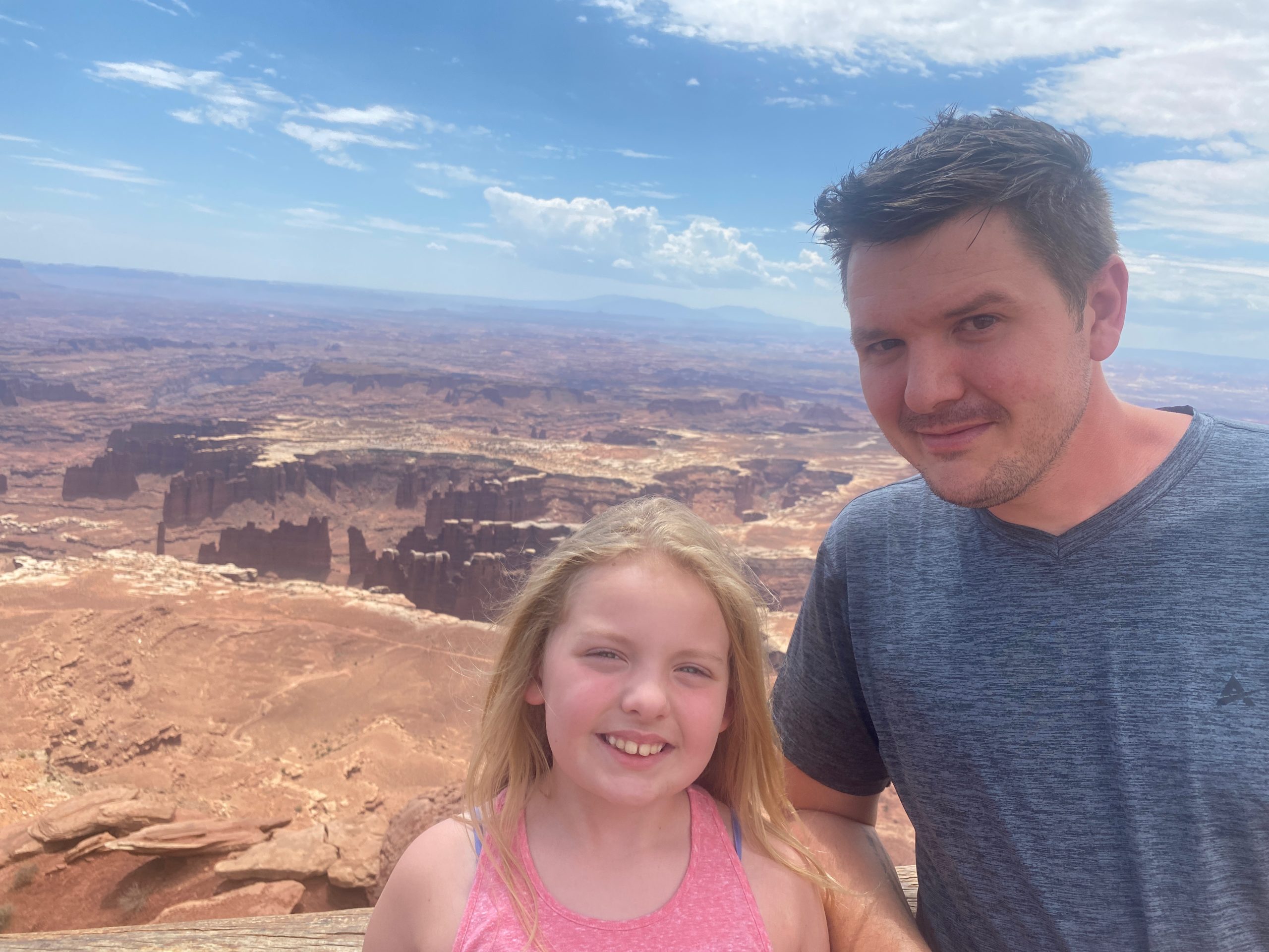
We originally planned to go to Arches all day- multiple National Parks Facebook groups I’m in had said to get to the park early- that after 6am all of the parking spots are gone and that after 8am or so, they are completely shutting the gates and turning all vehicles away for the day due to overcrowding. But then I saw a couple posts saying that they went around 3-4 in the afternoon and got right in and were able to see everything they wanted… so we decided we liked the idea of hiking from 3p-8p better than 5a-9am haha. So… we decided to visit Canyonlands National Park in the morning.

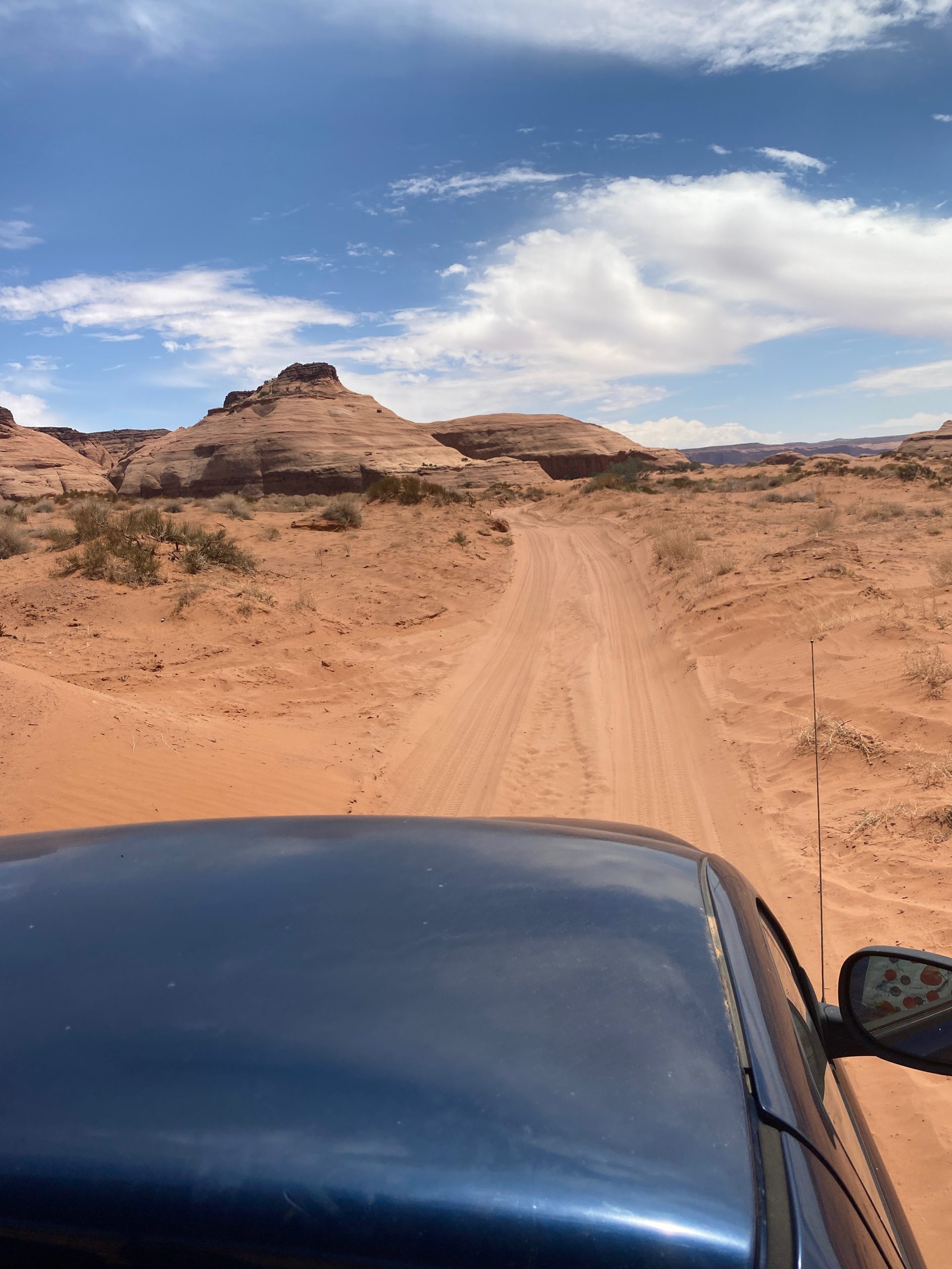
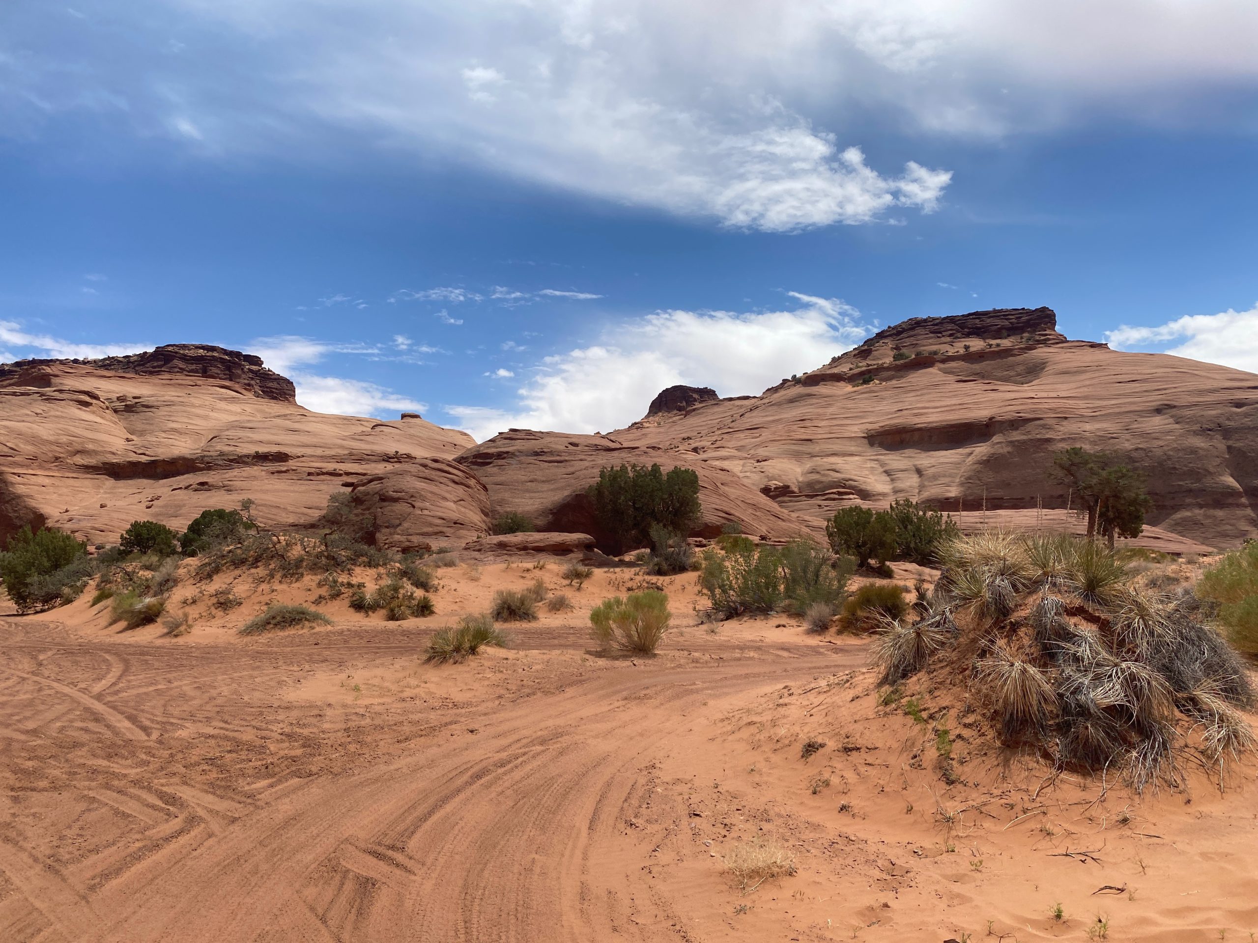
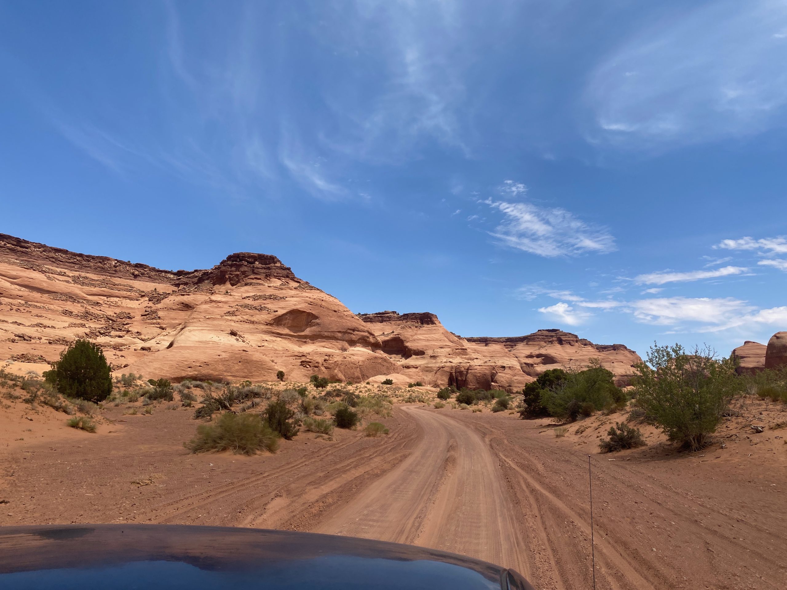
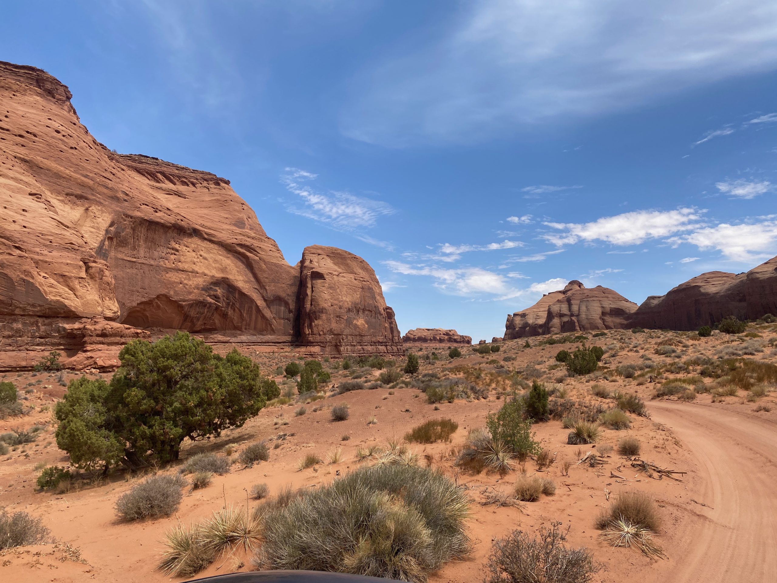
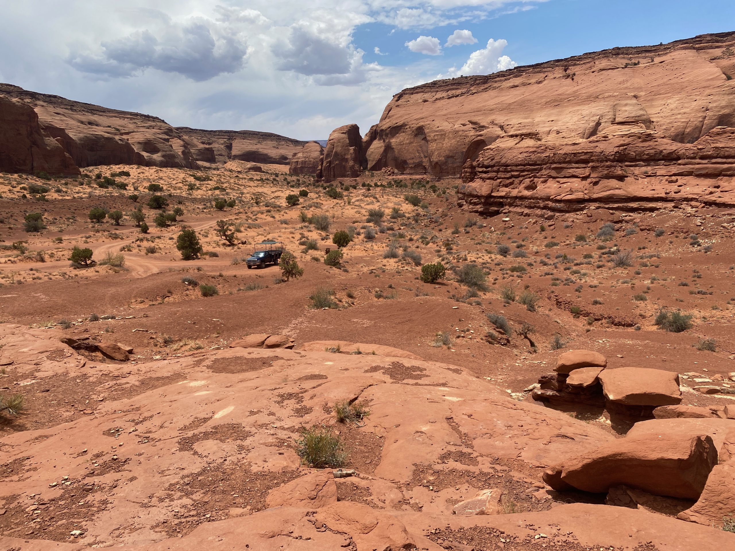
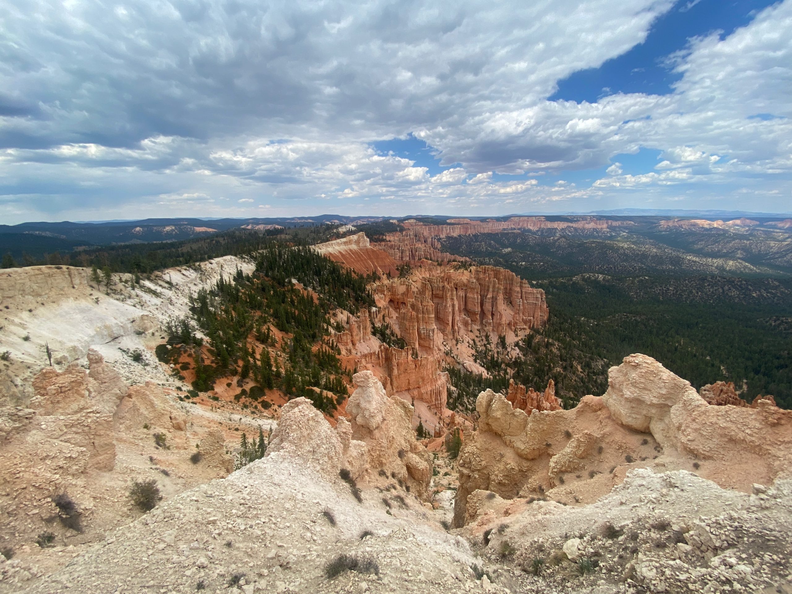
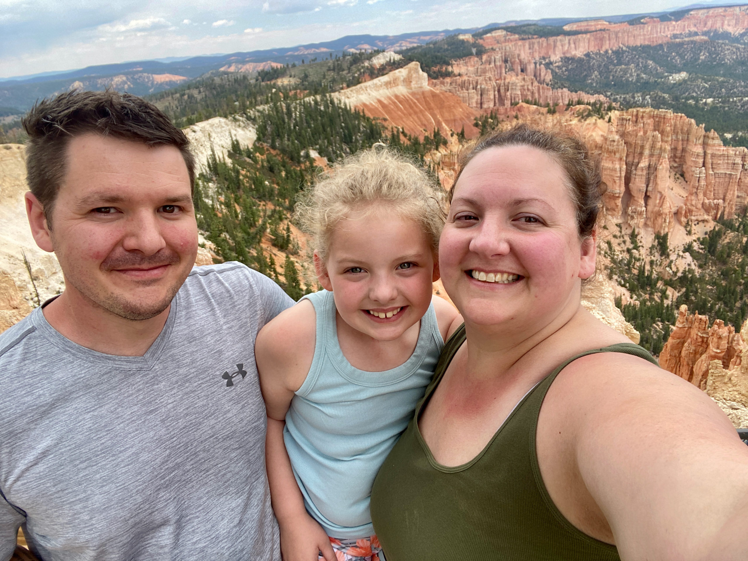
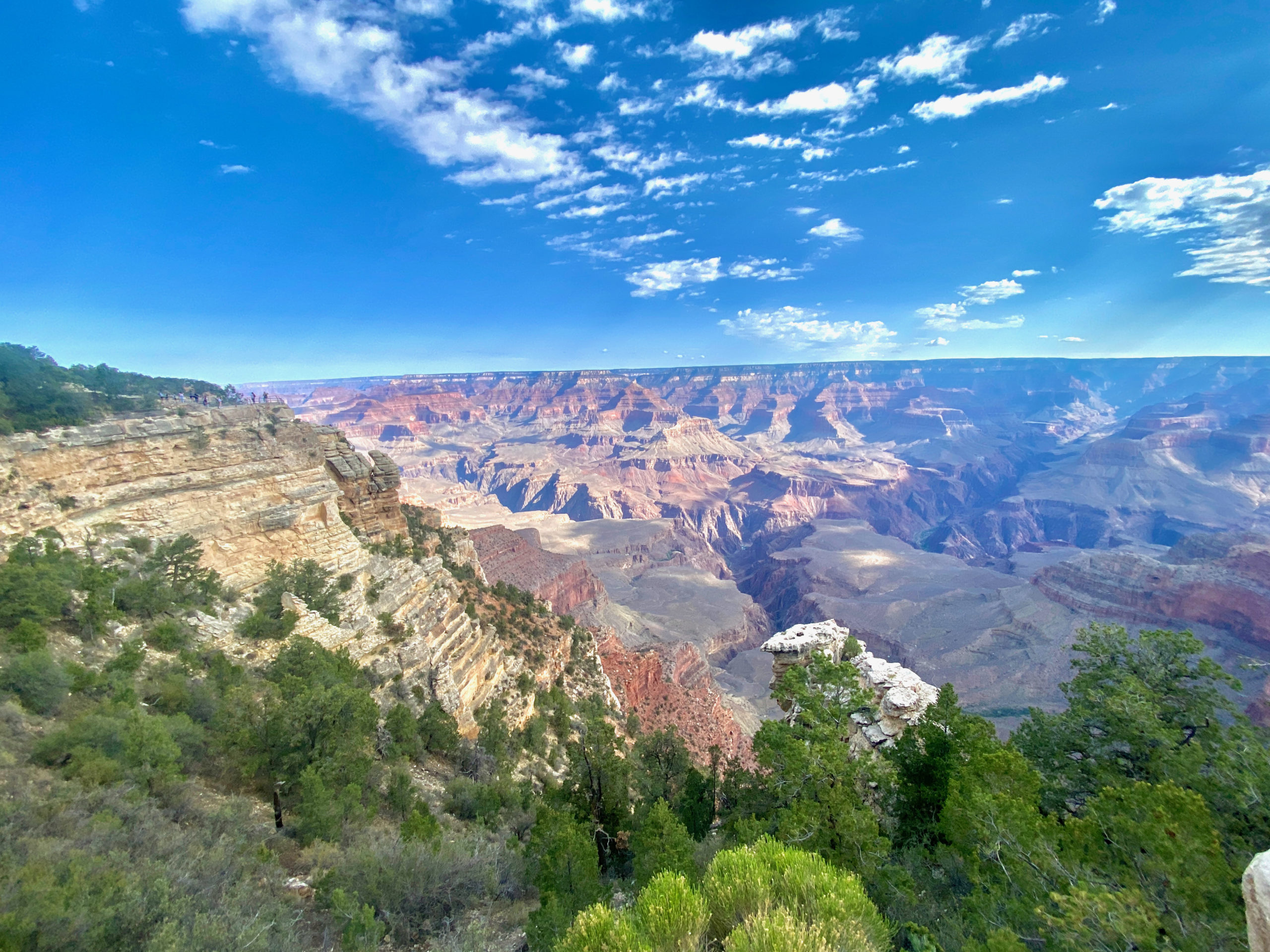
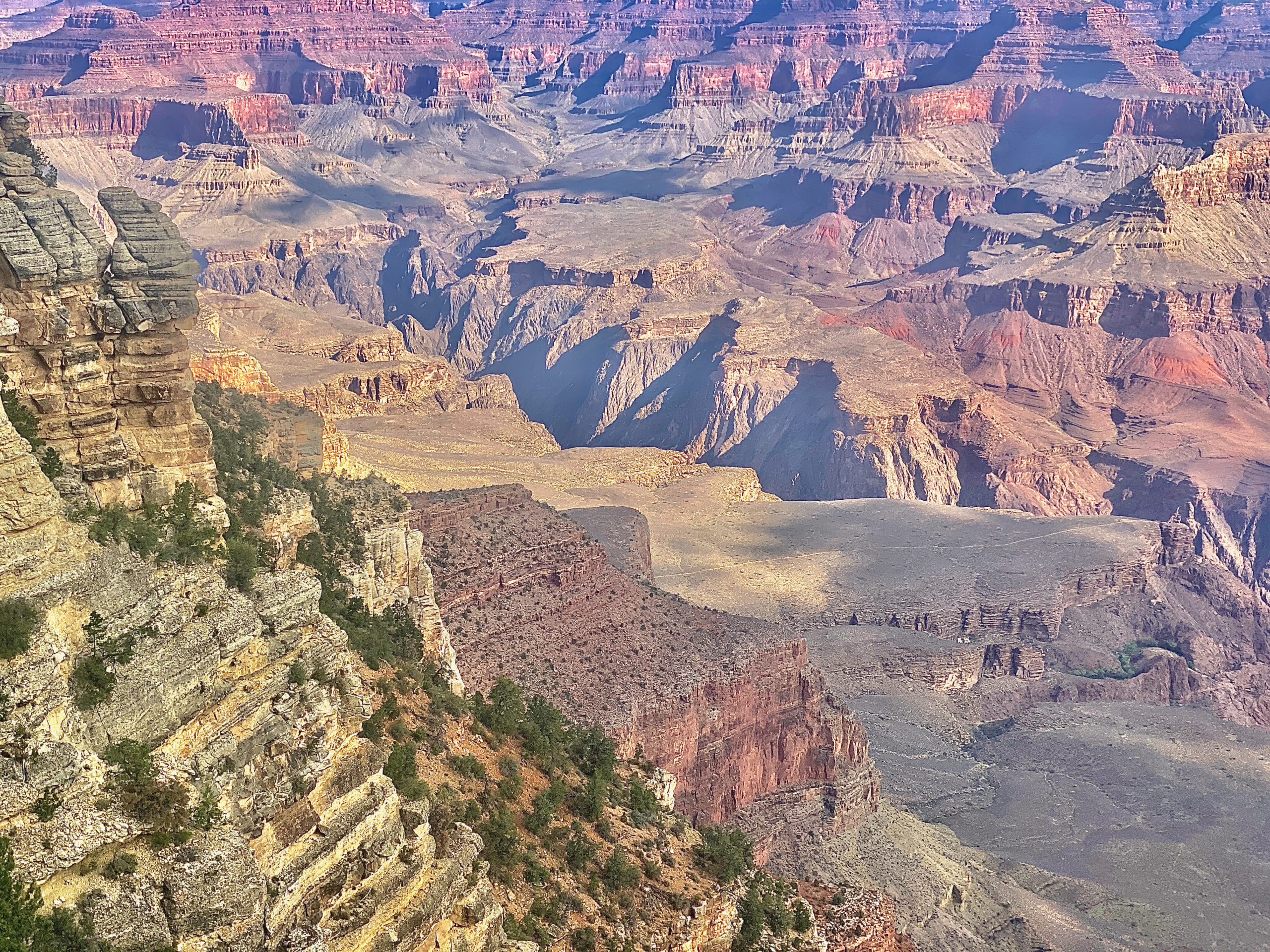
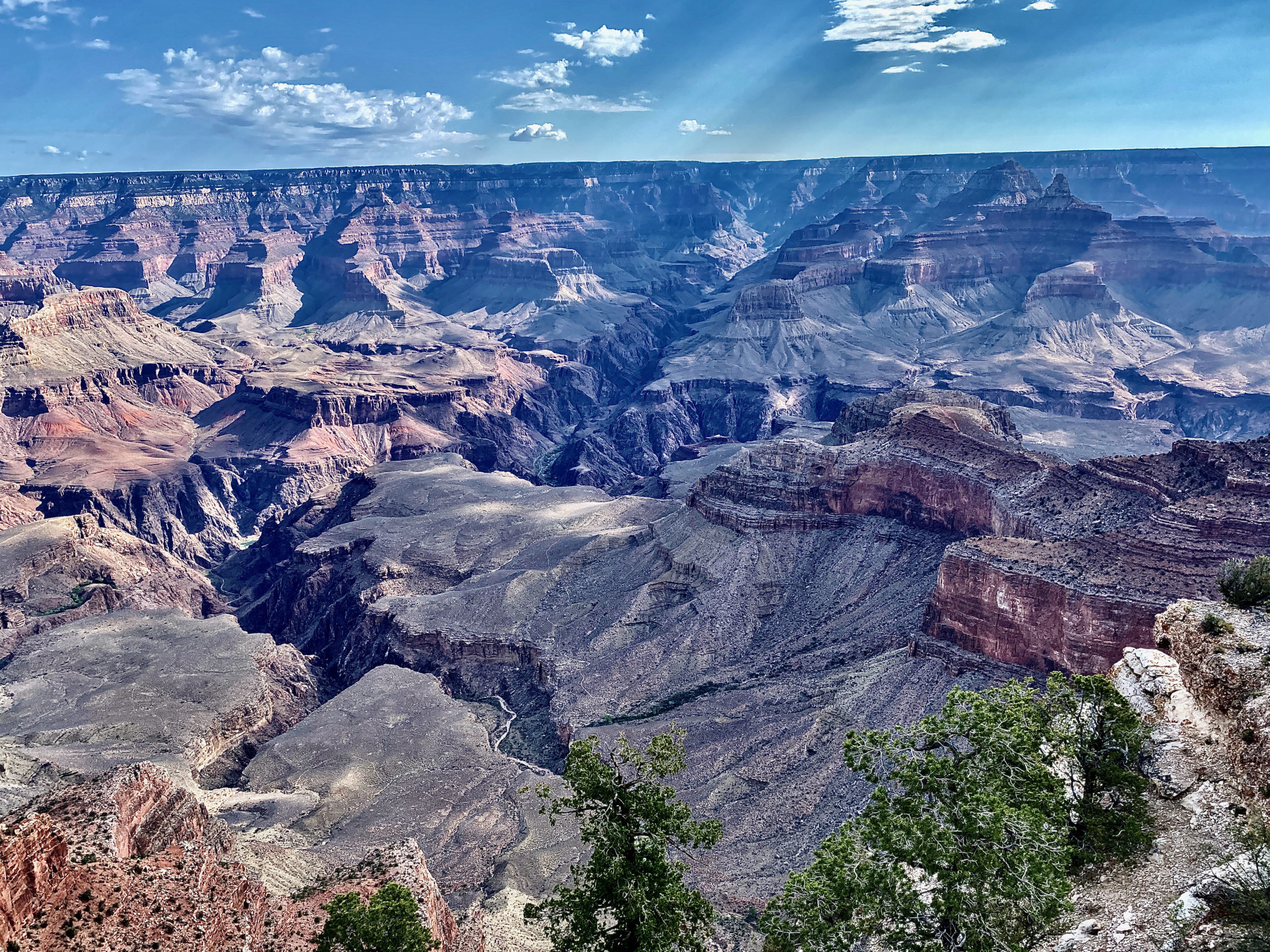
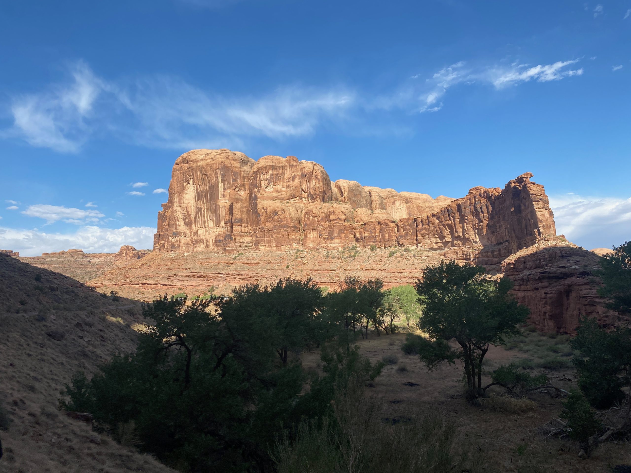
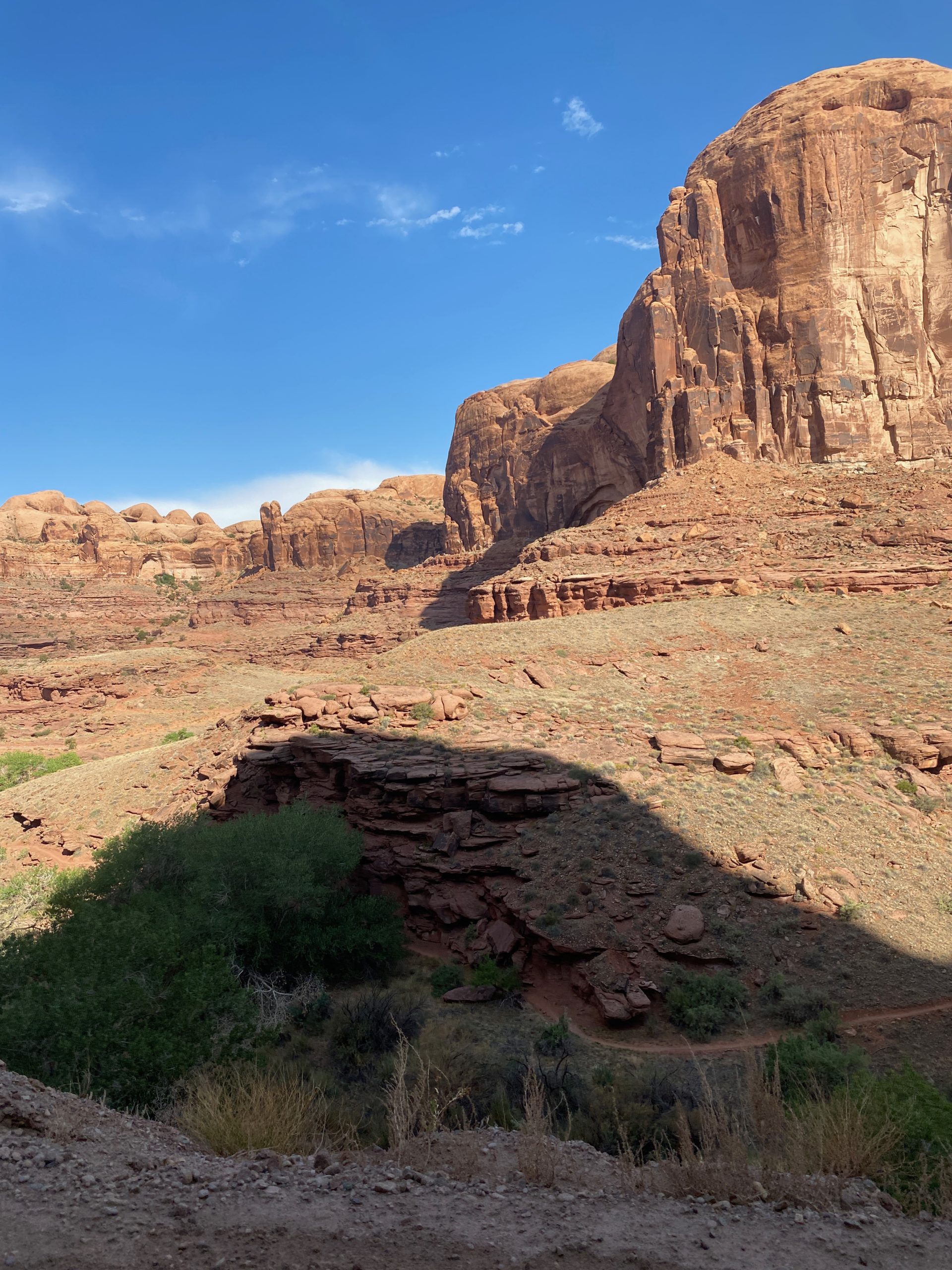
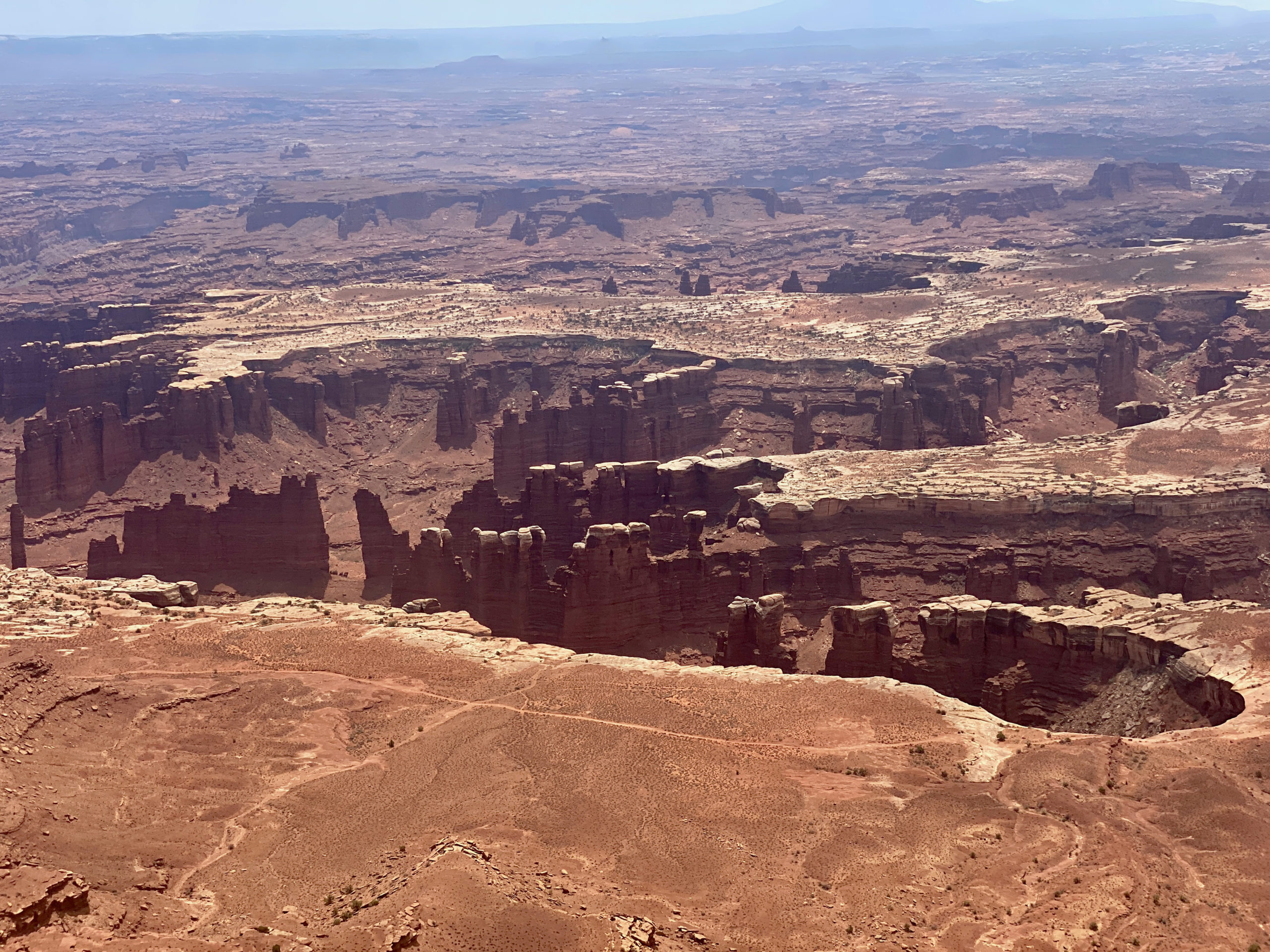
Canyonlands is odd because you cant just enter the park through a gate and see everything. The Colorado and Green Rivers both cut right through the center and merge. There are no bridges spanning the canyon and rivers, so to see some parts of the park, it may be a 2 hour drive to the other entrance.

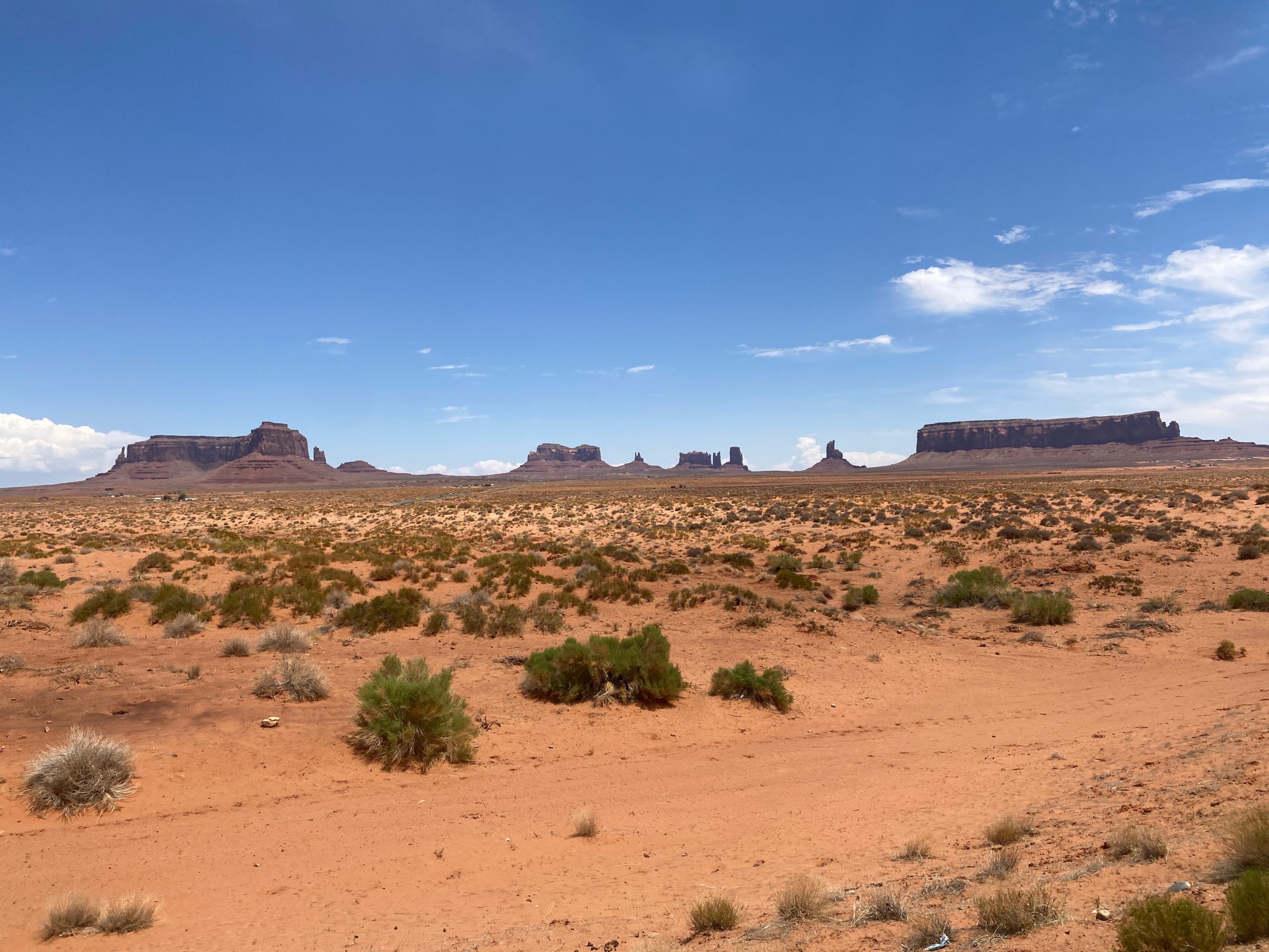
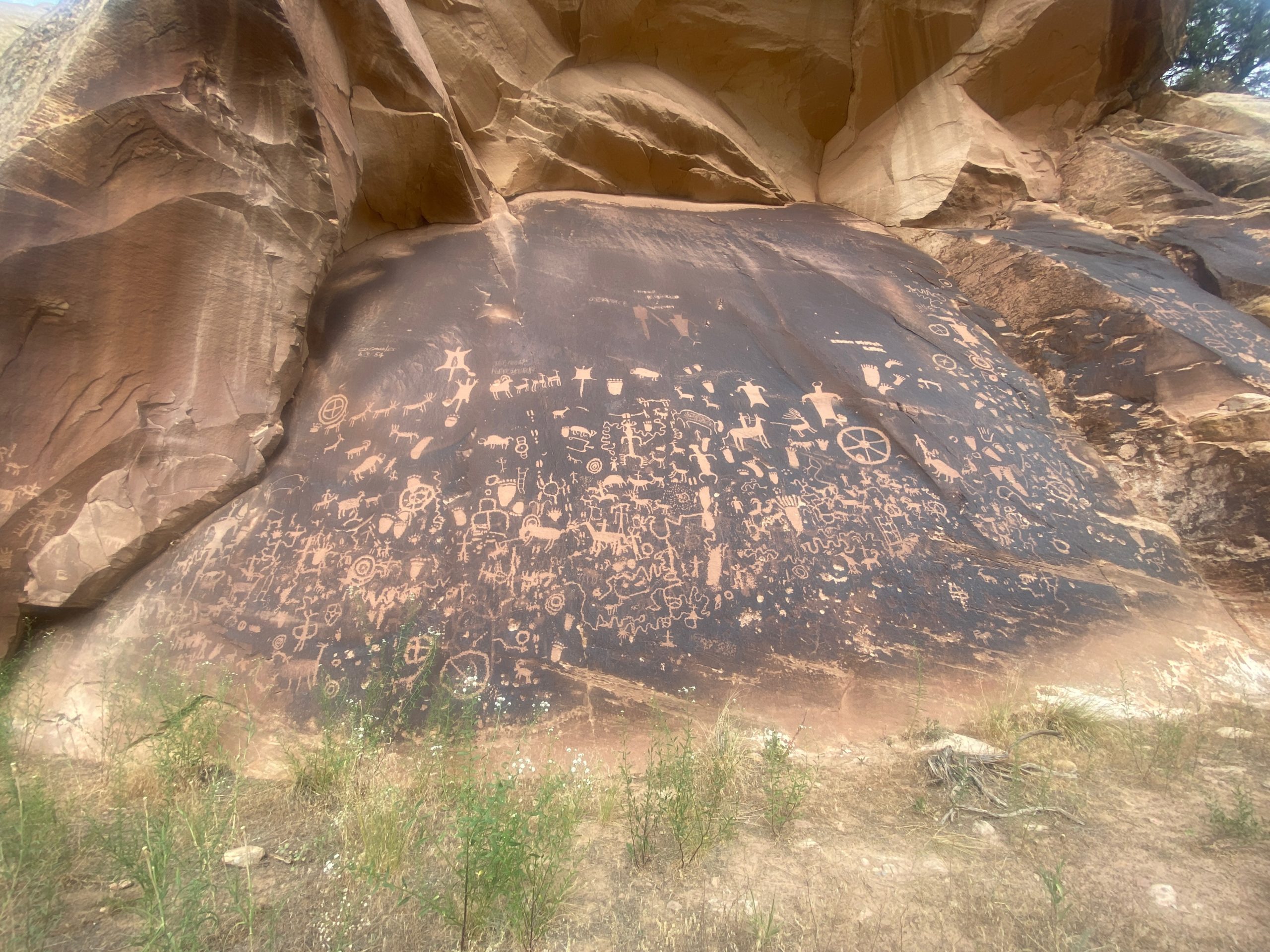
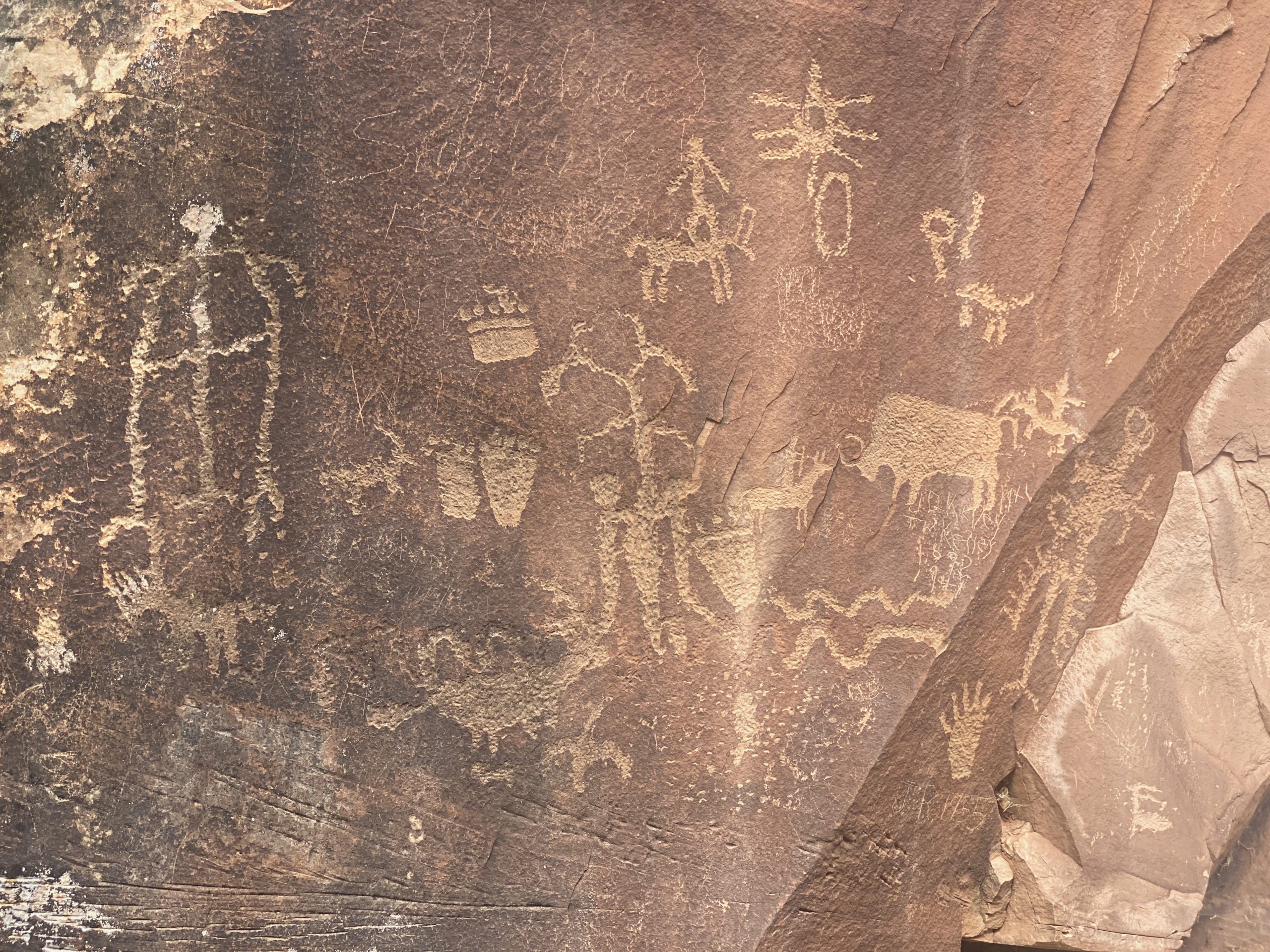
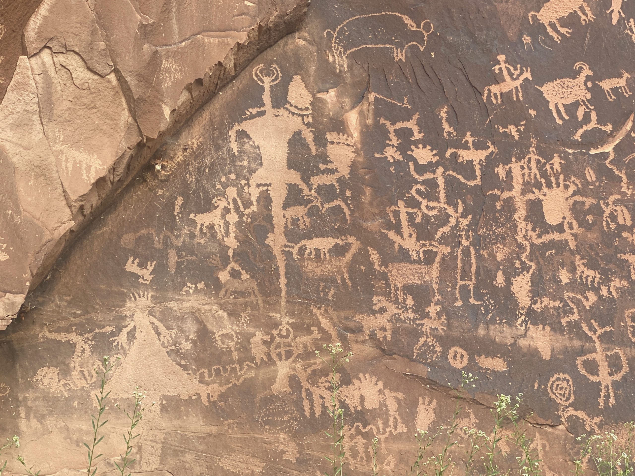
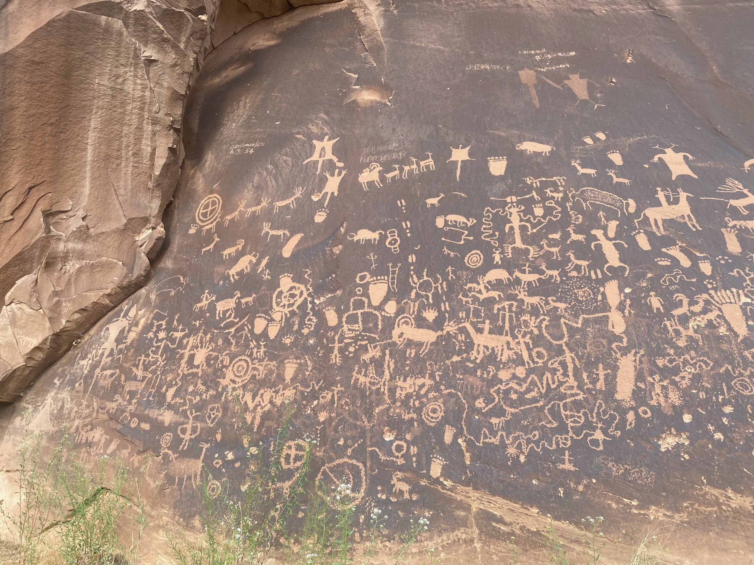
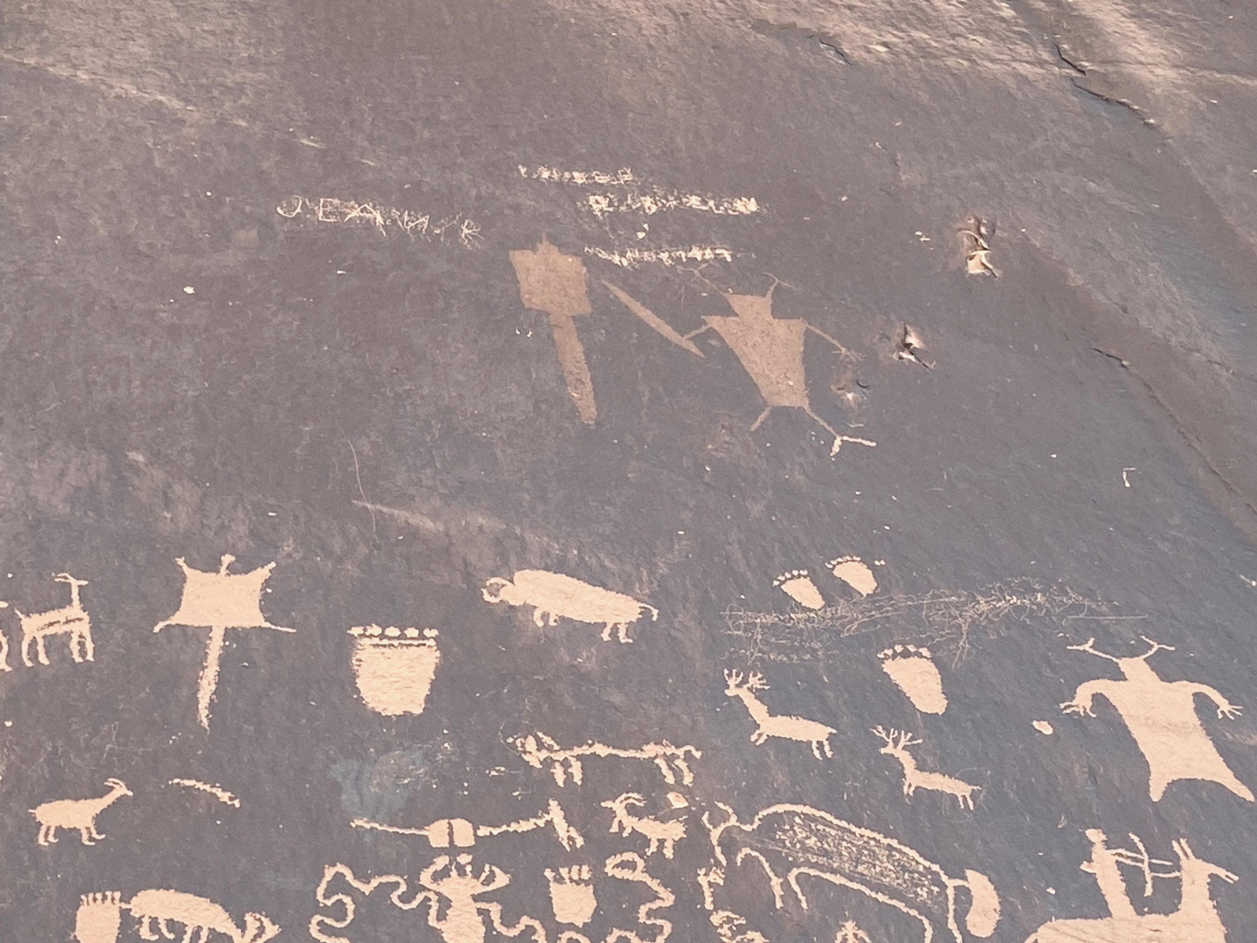
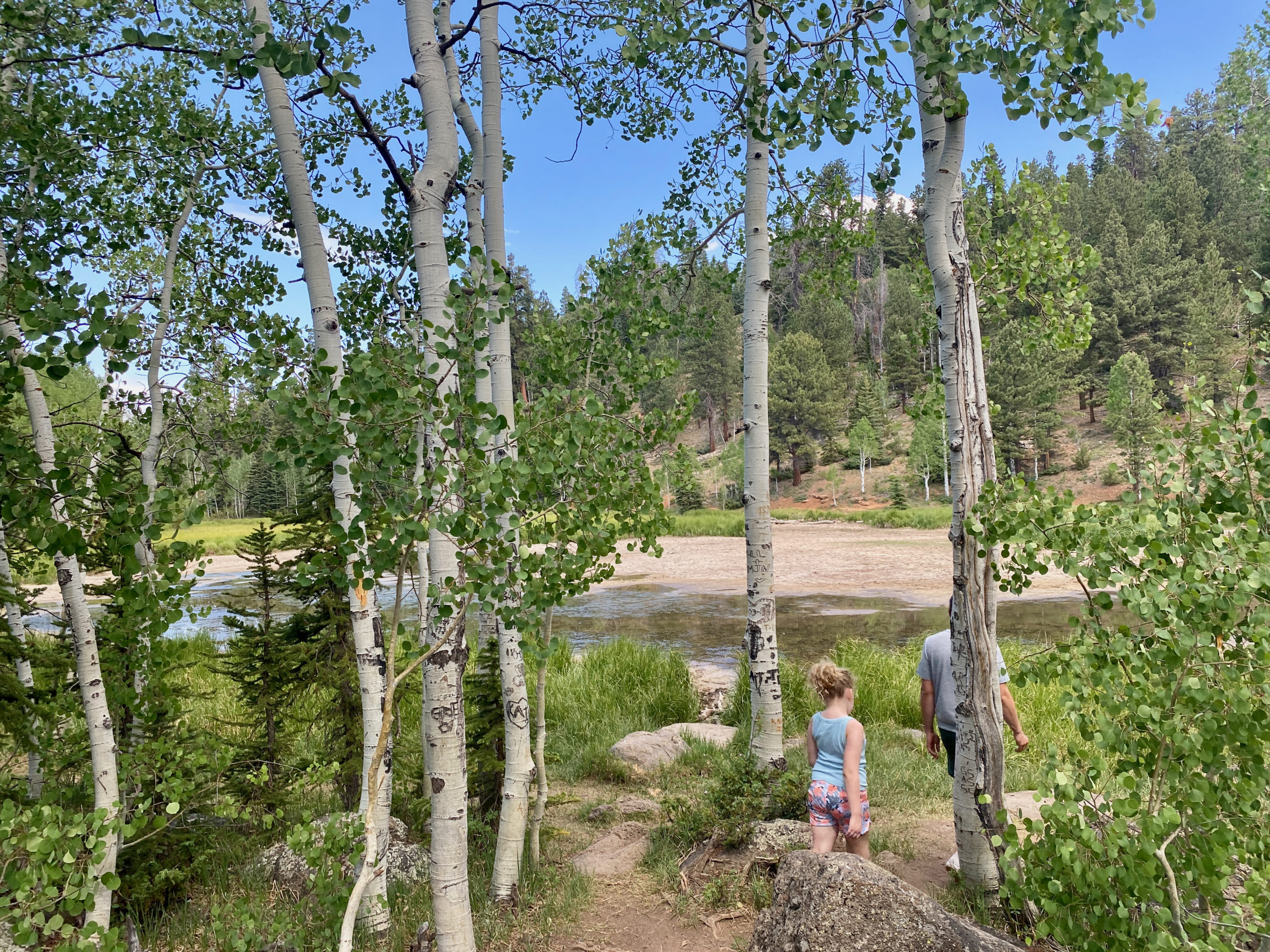
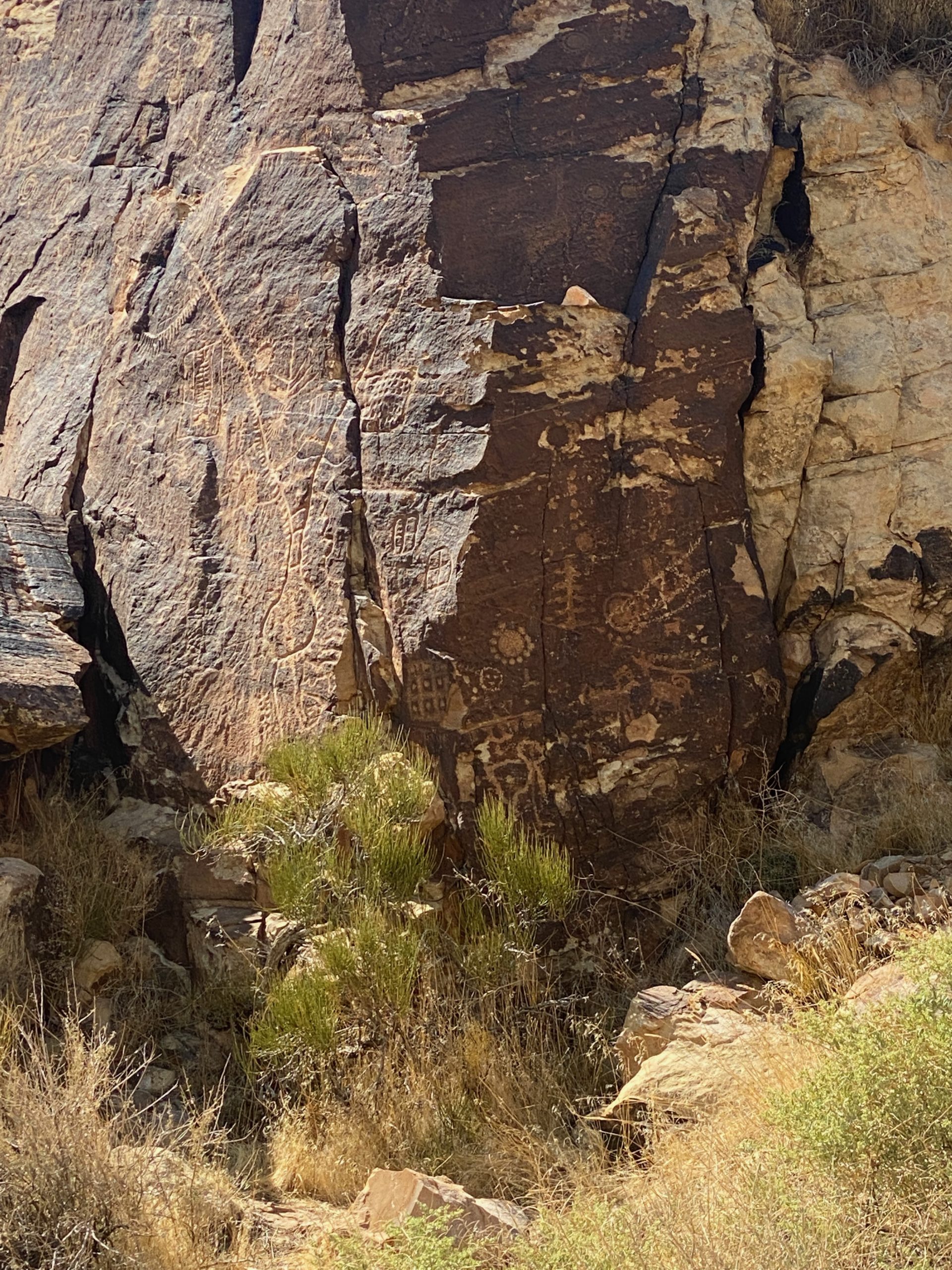
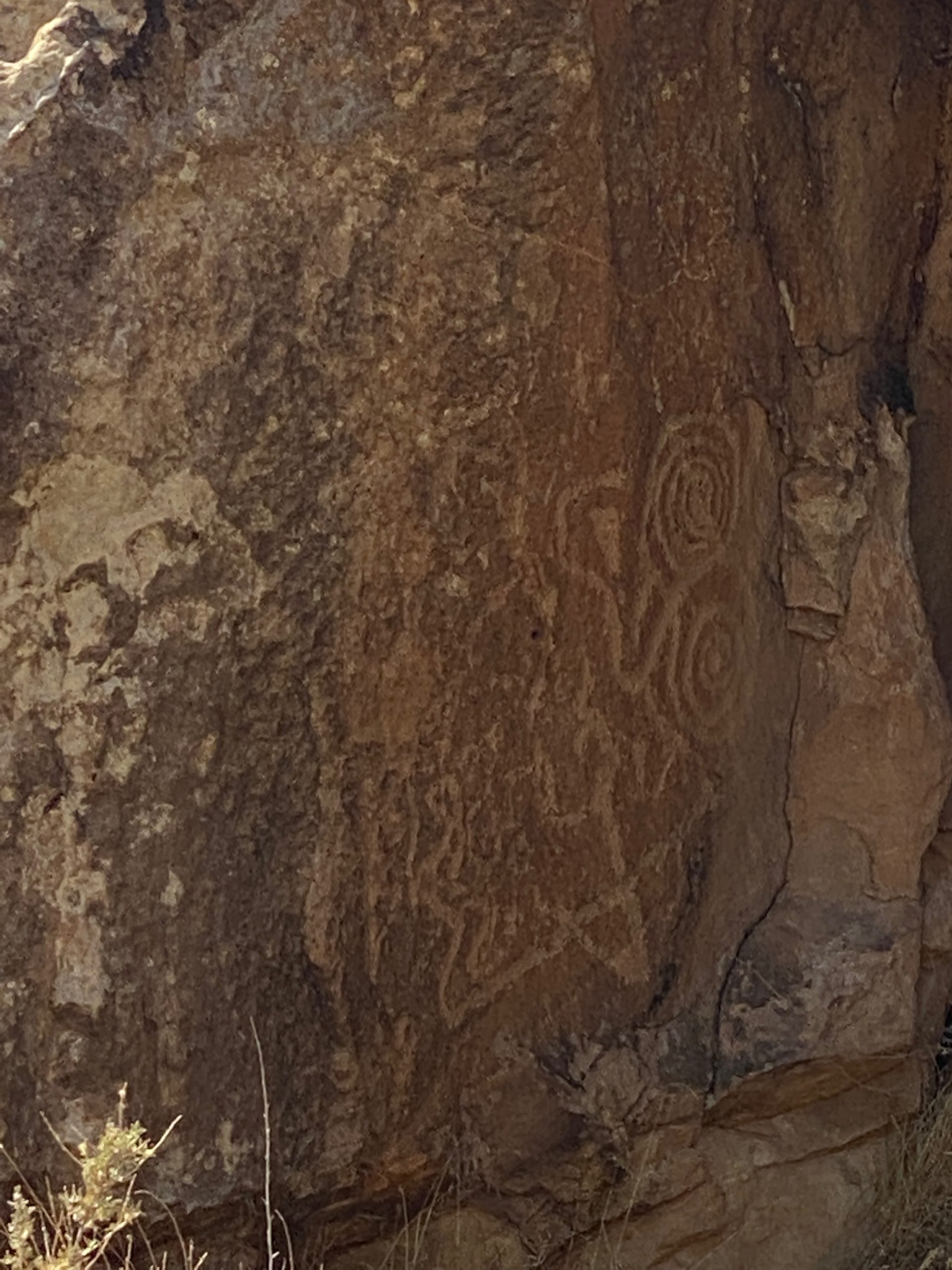
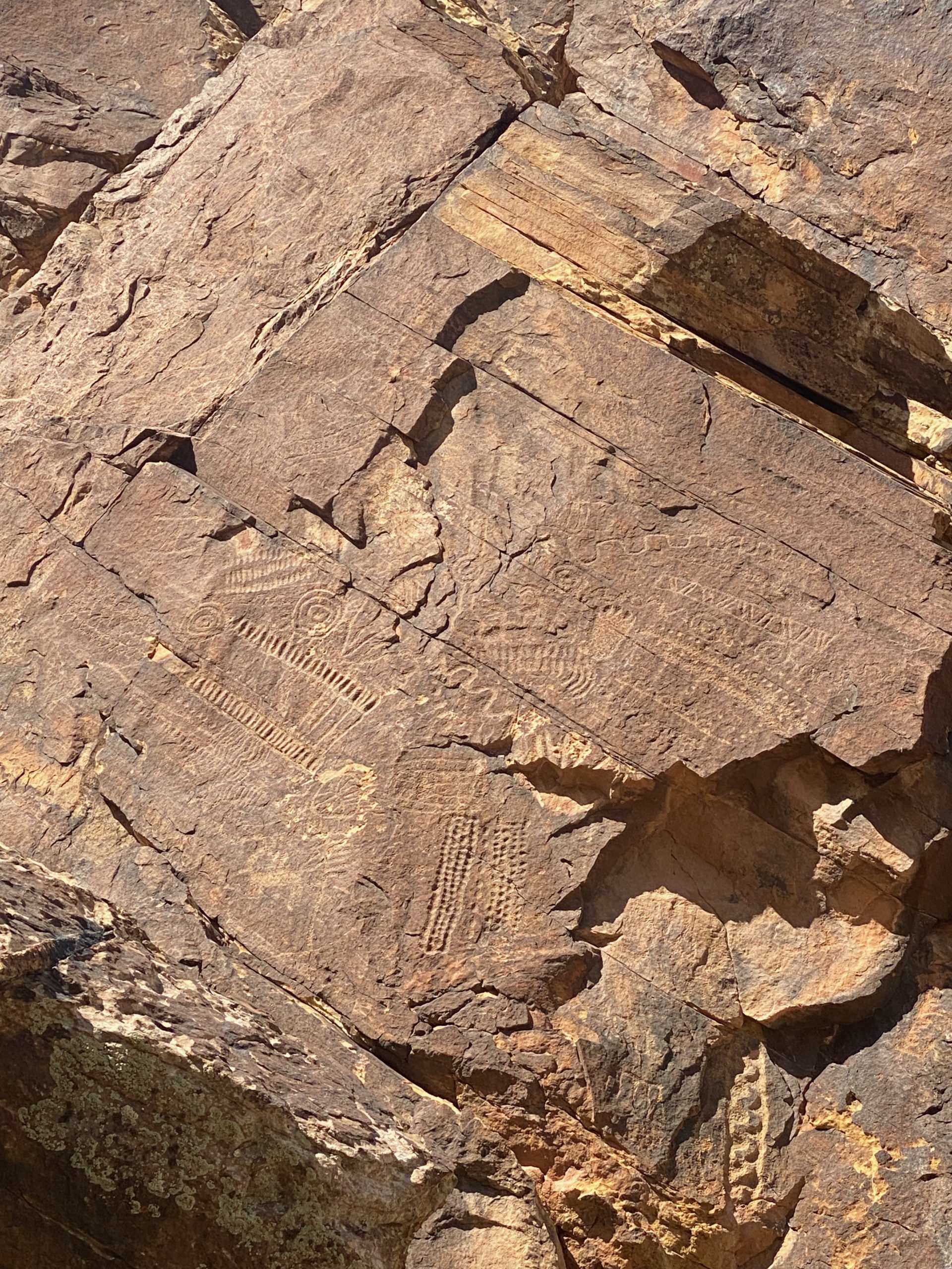
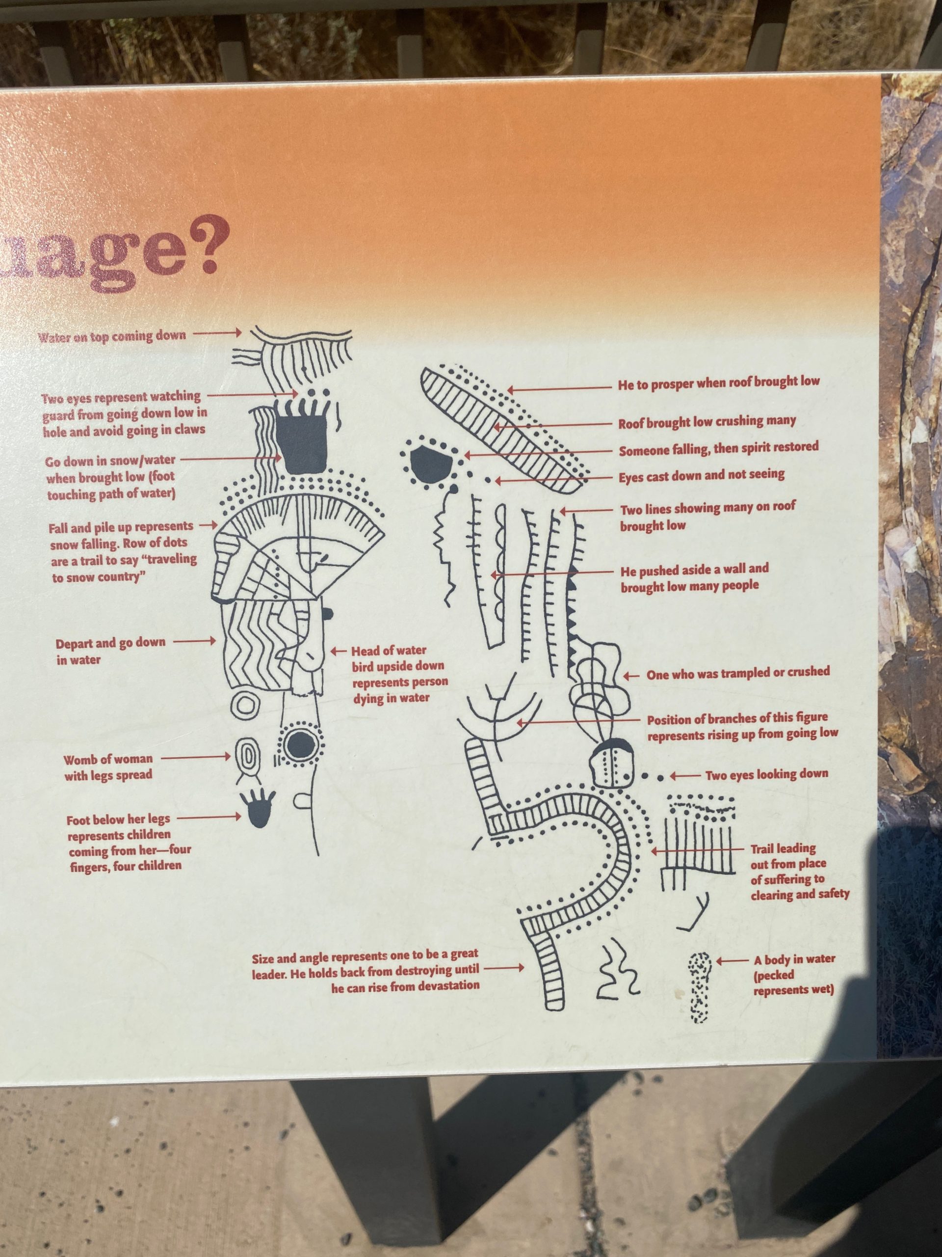
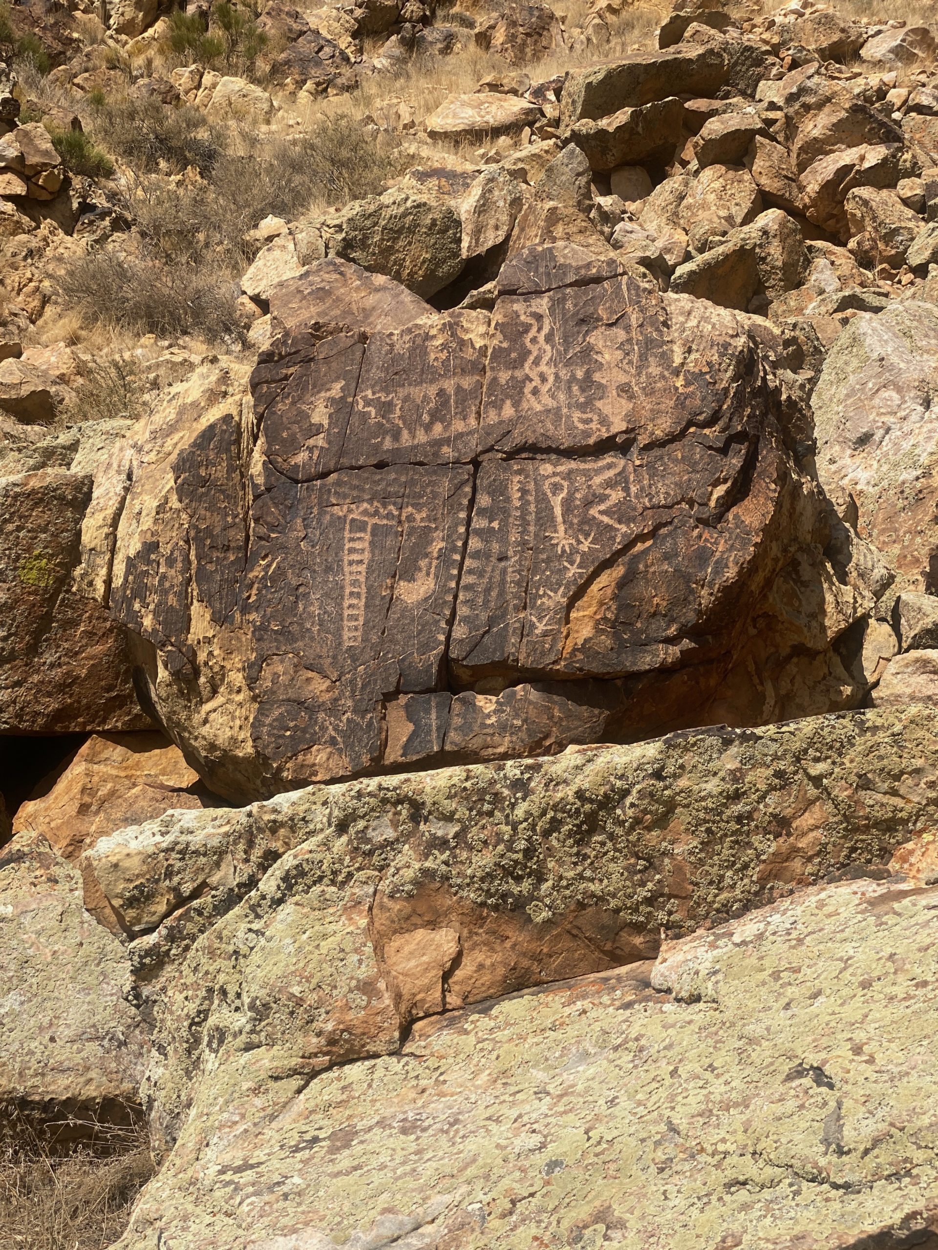
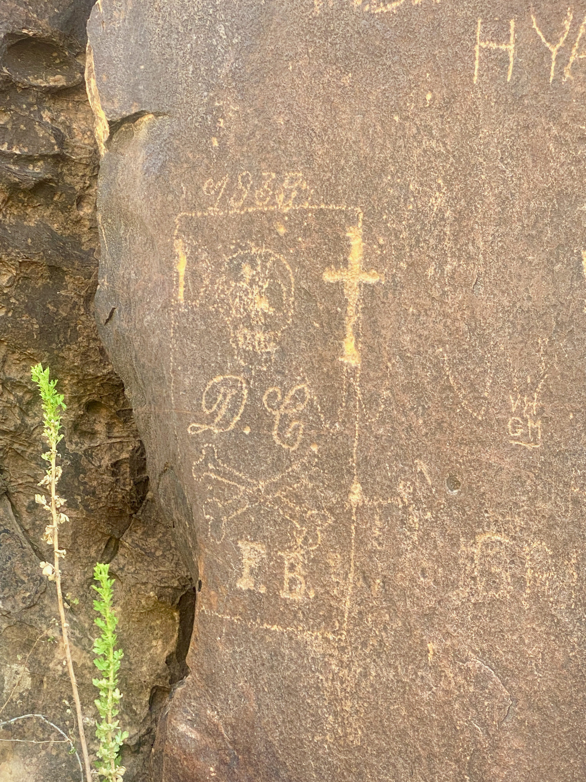
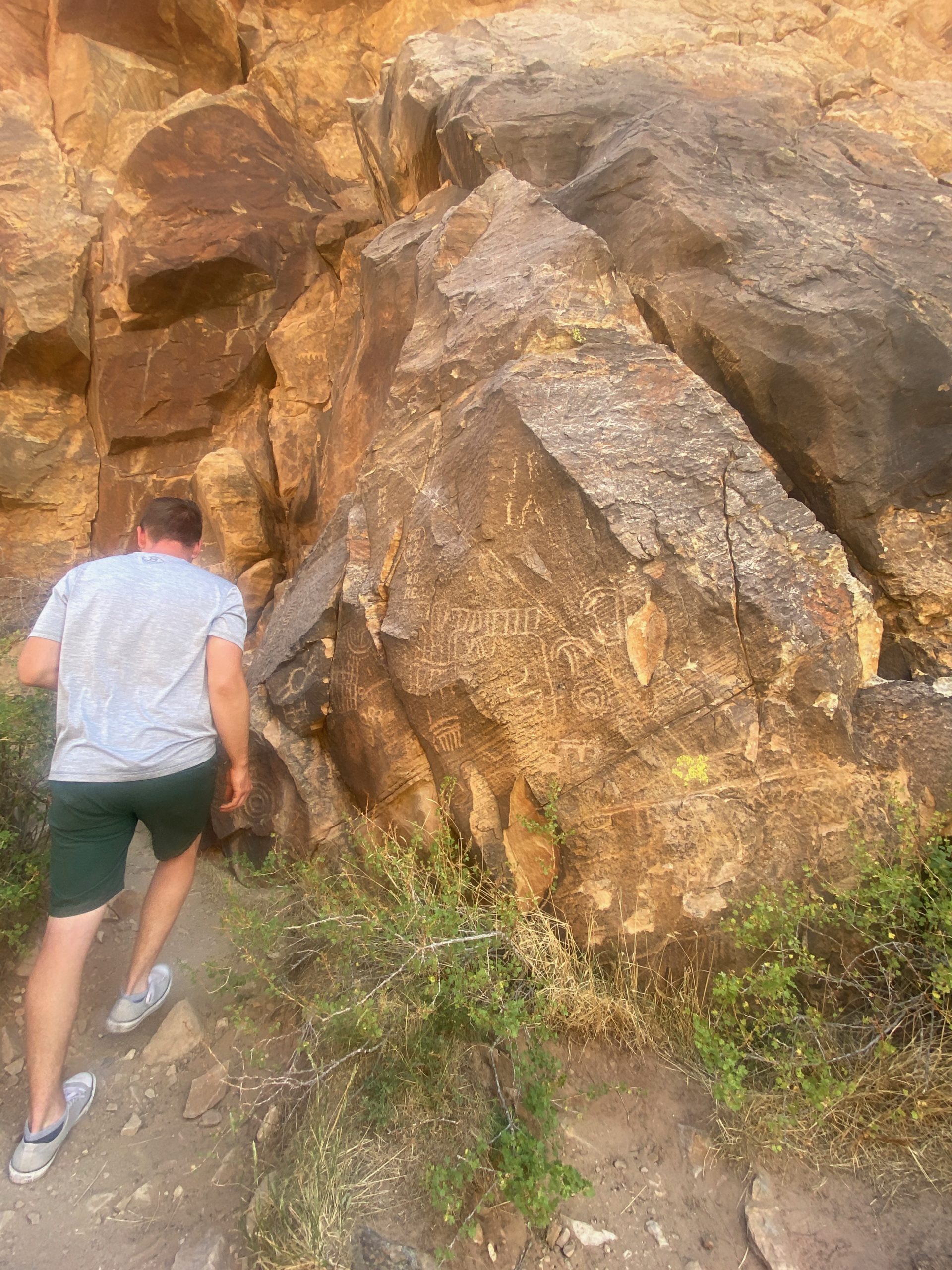
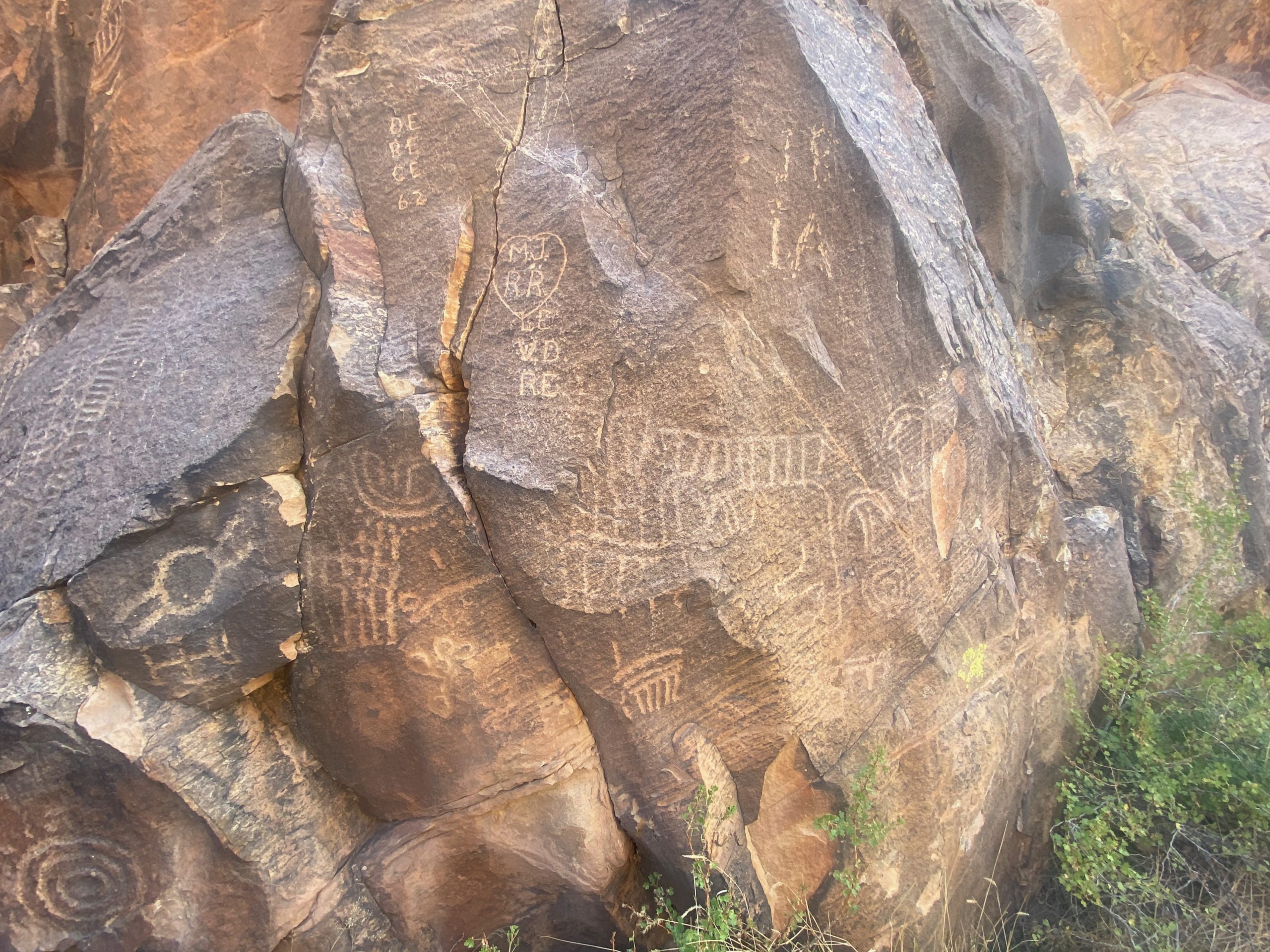
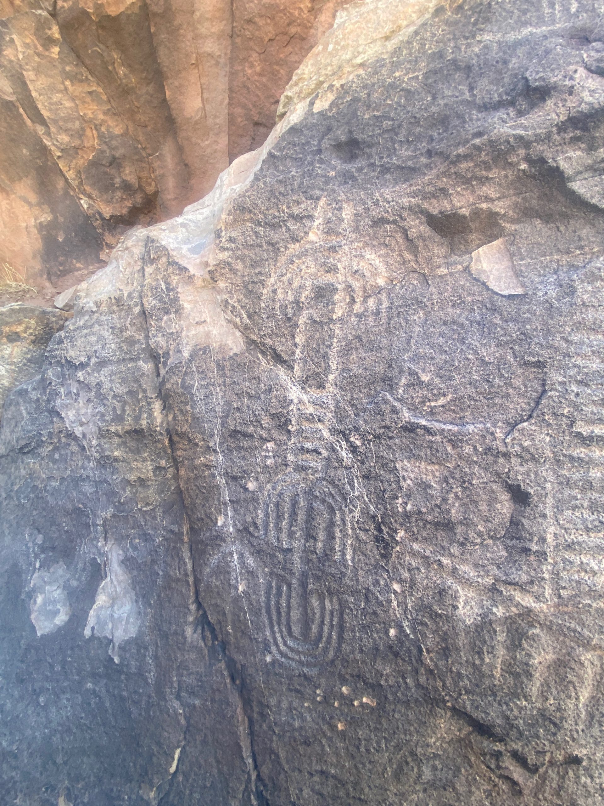
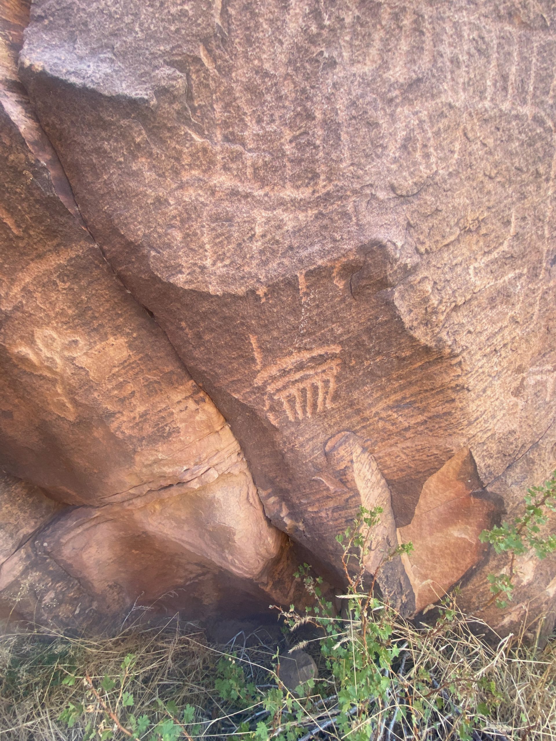
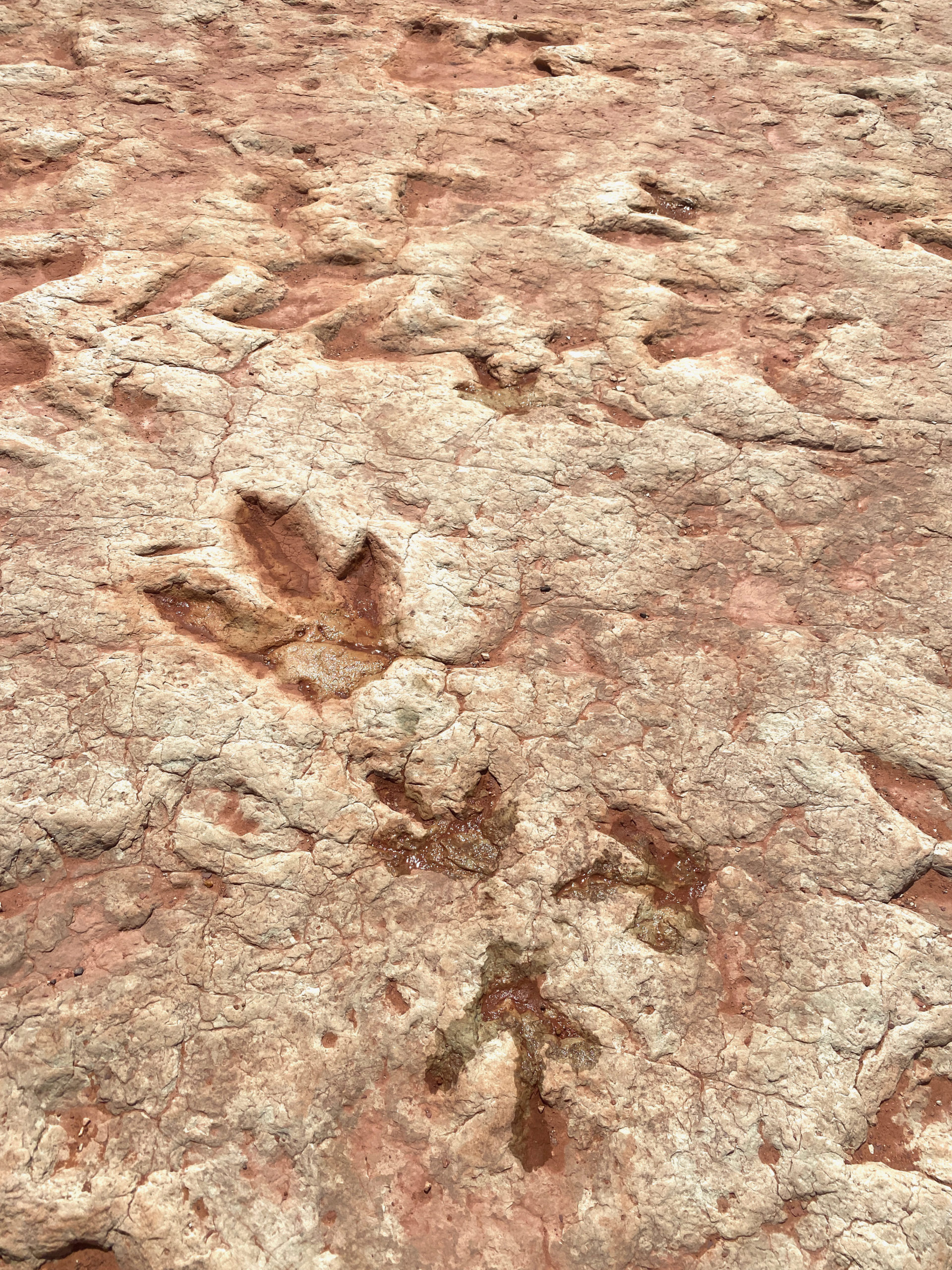
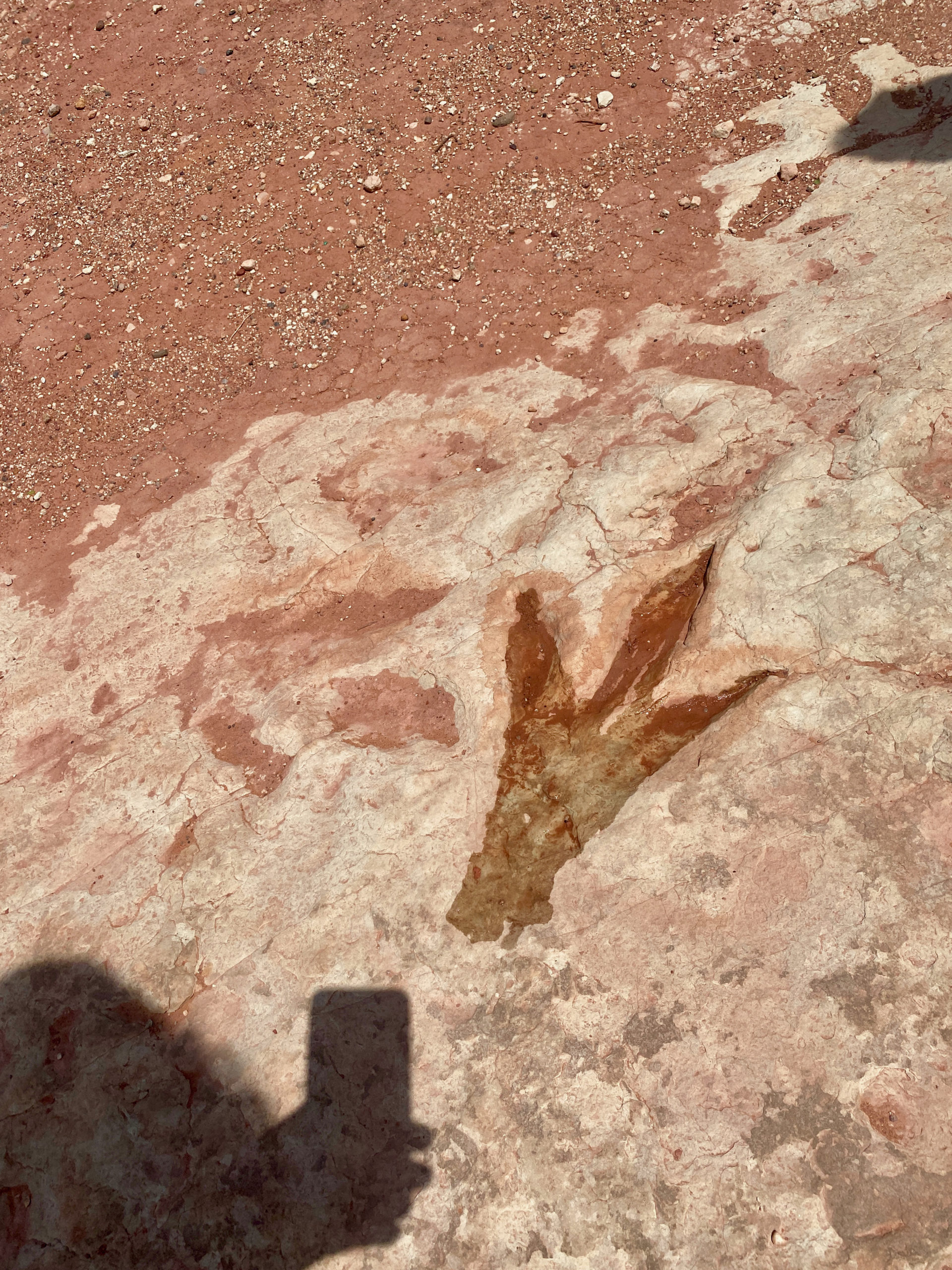
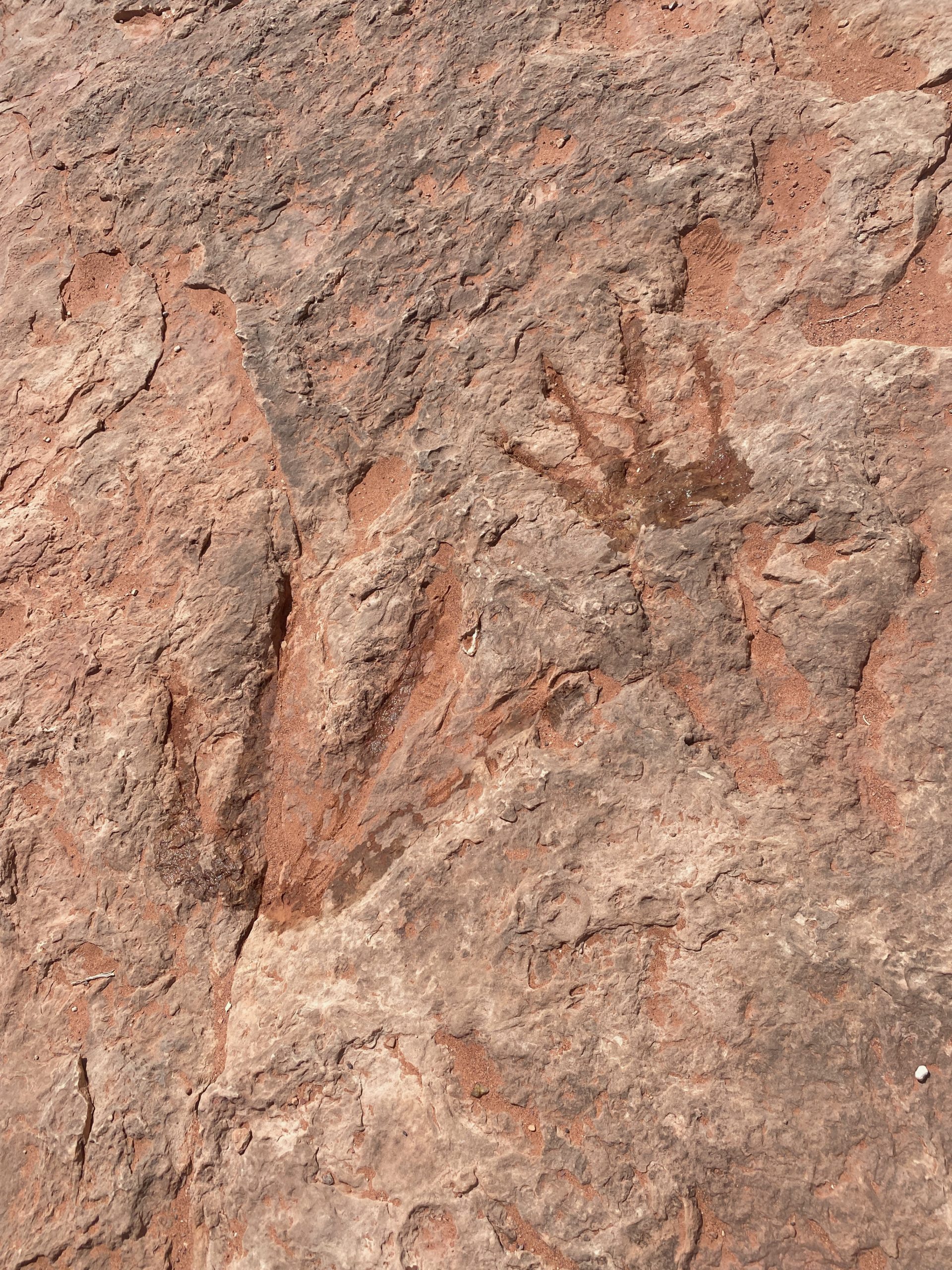
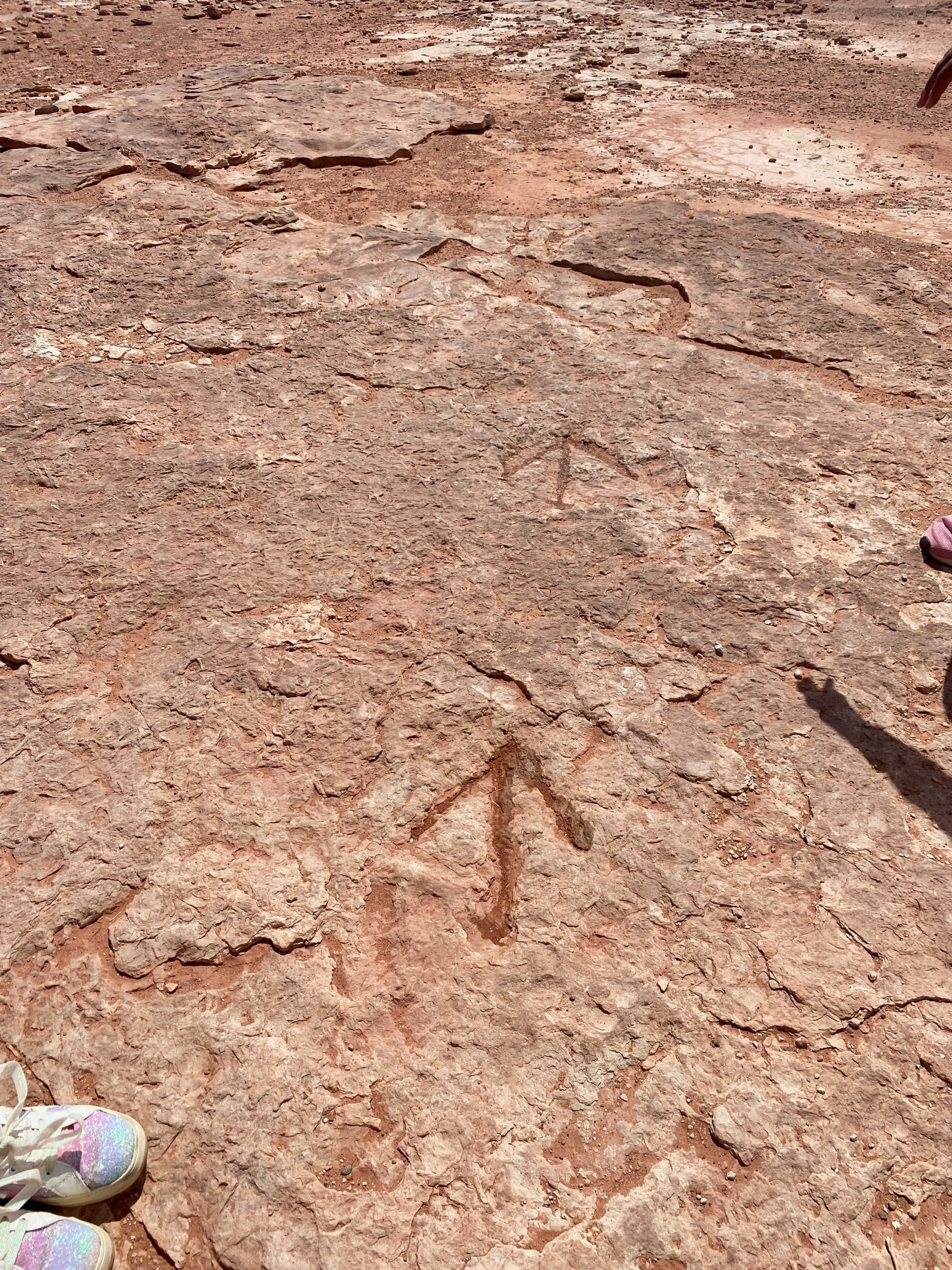
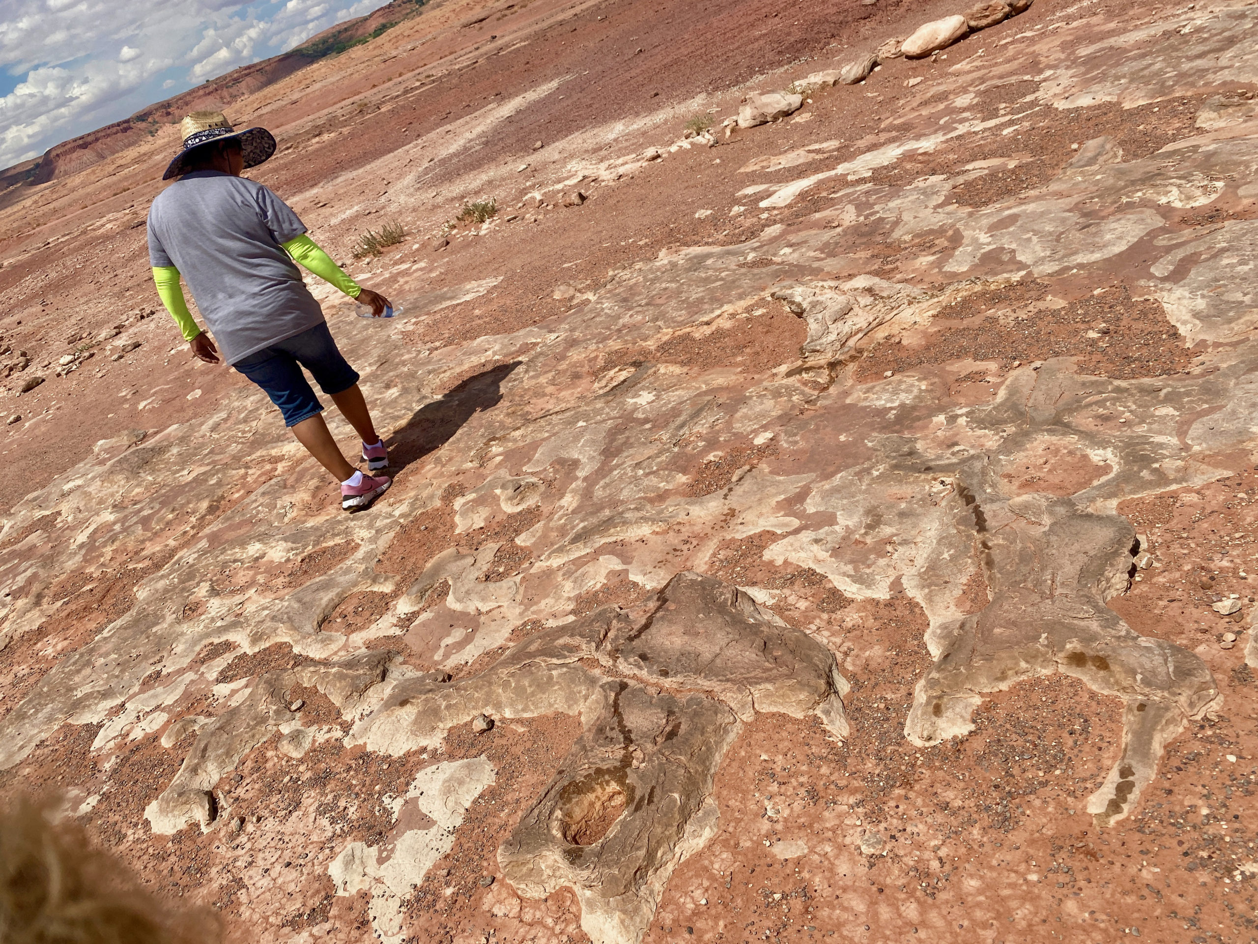
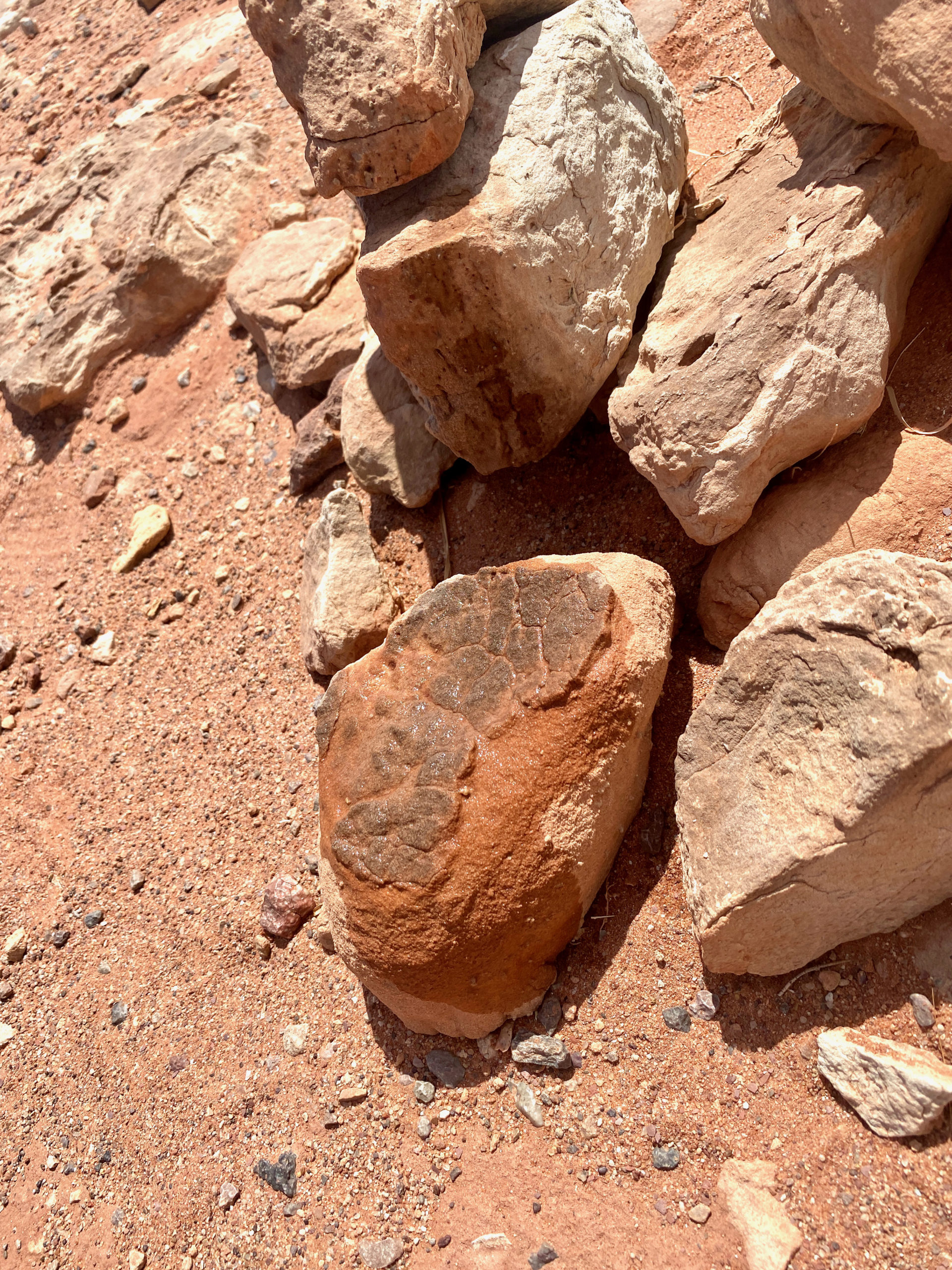
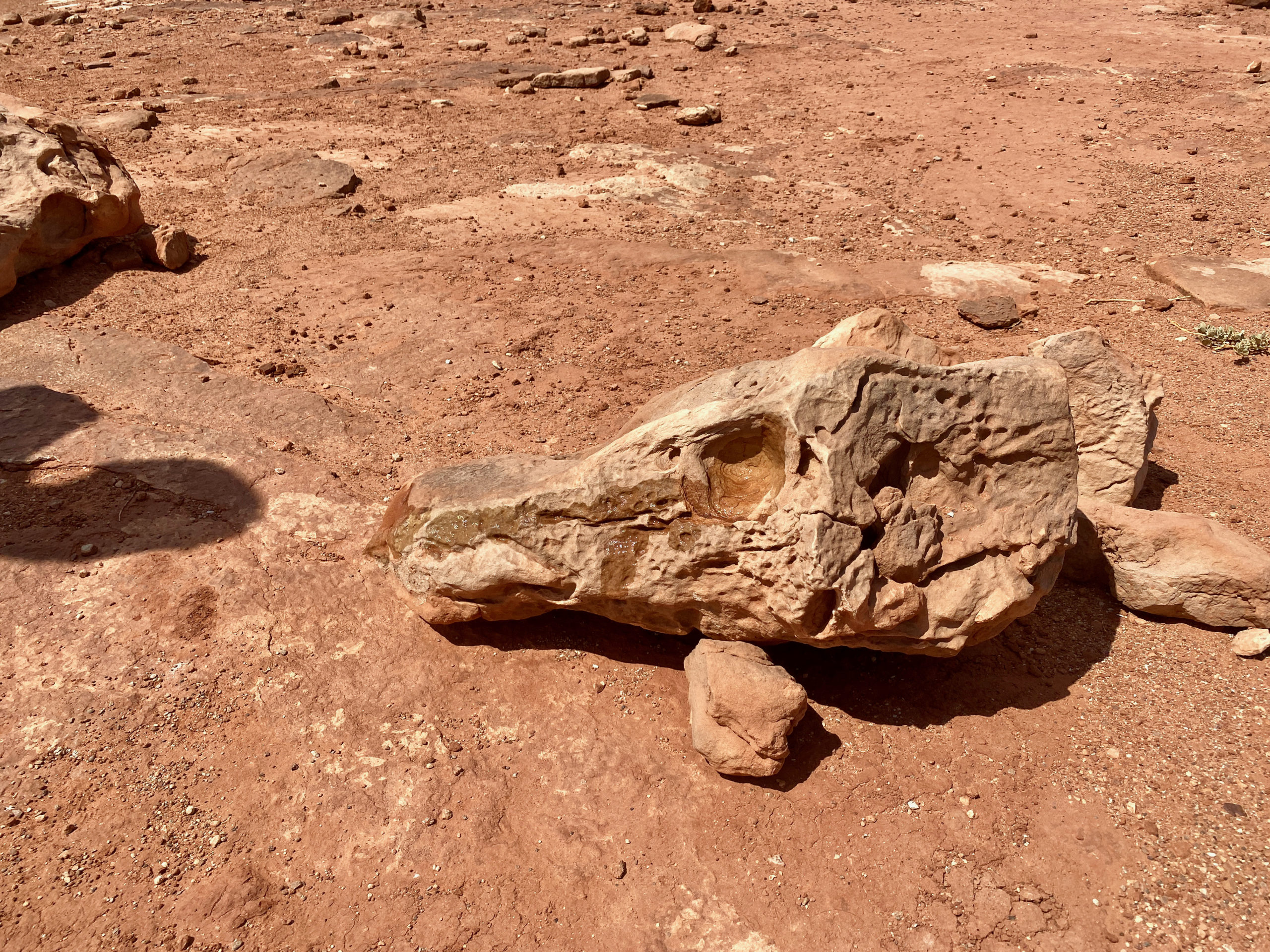
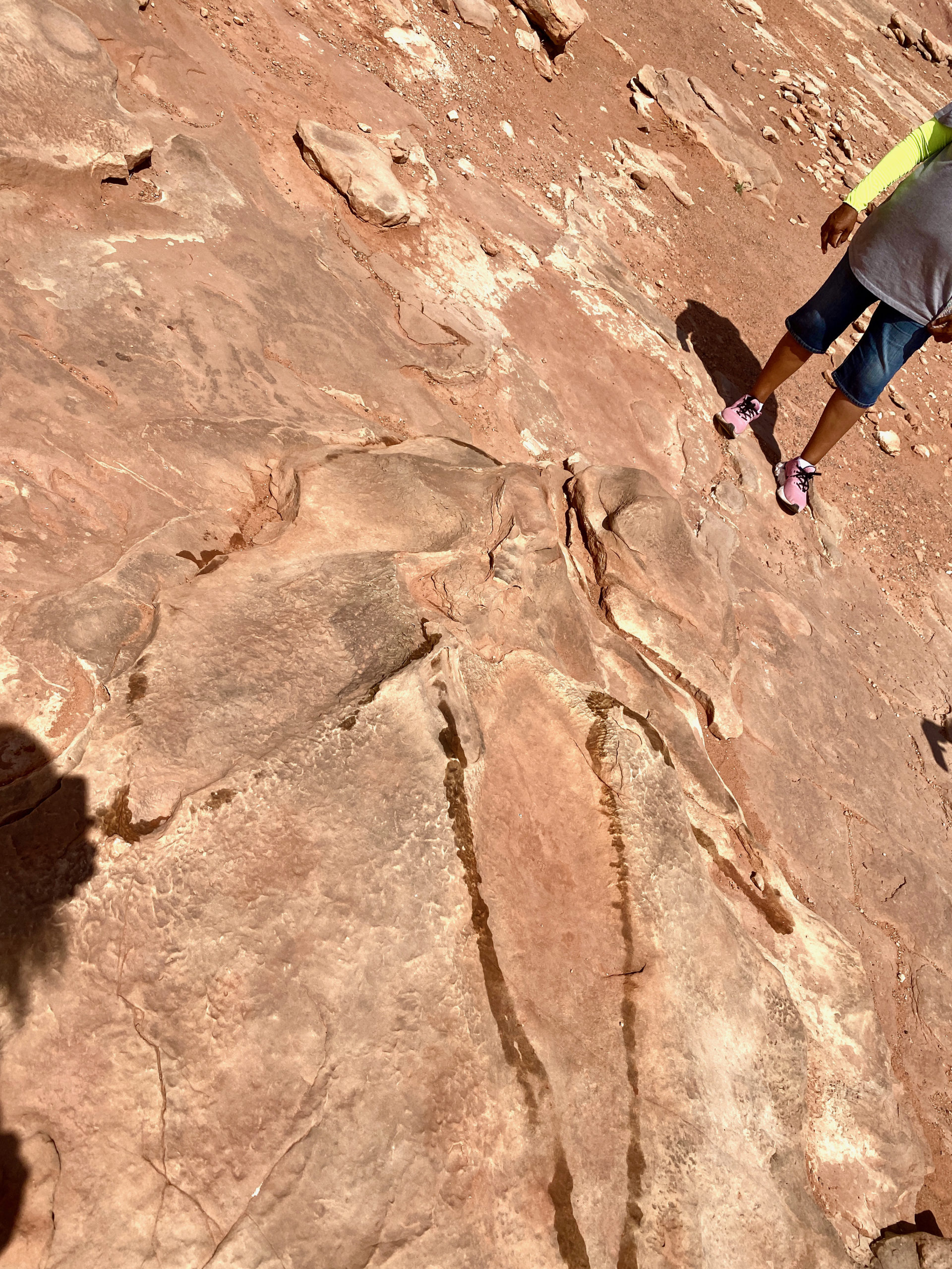
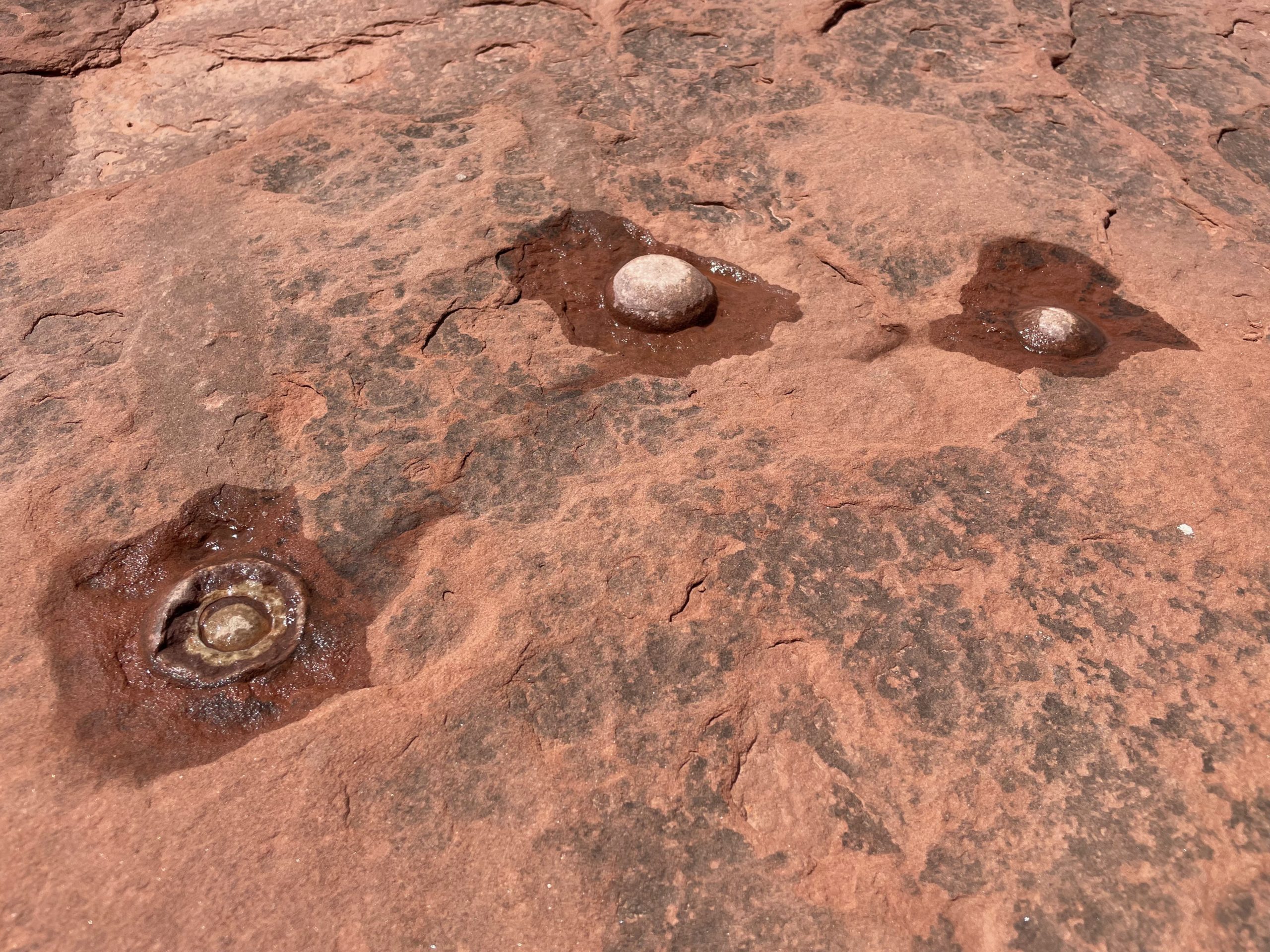
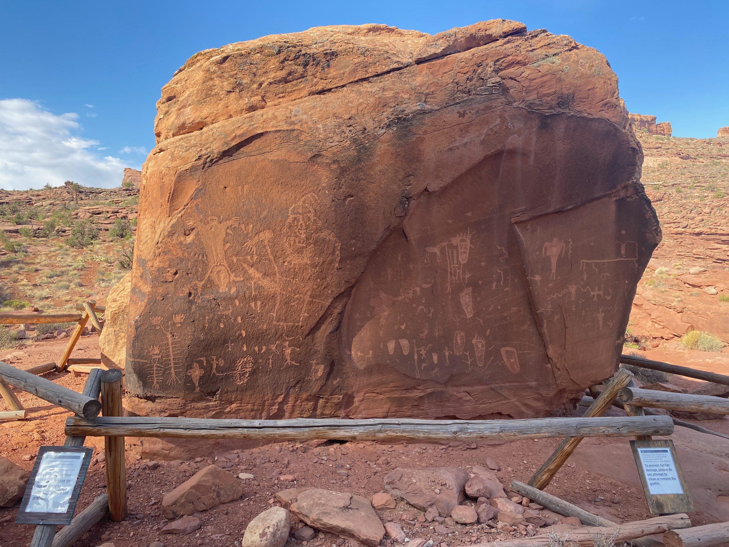
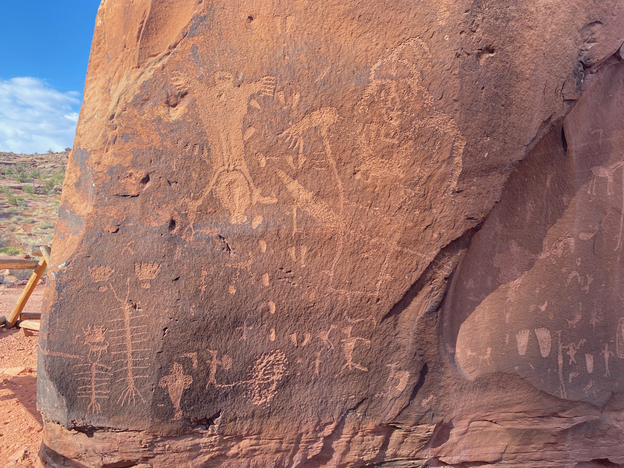
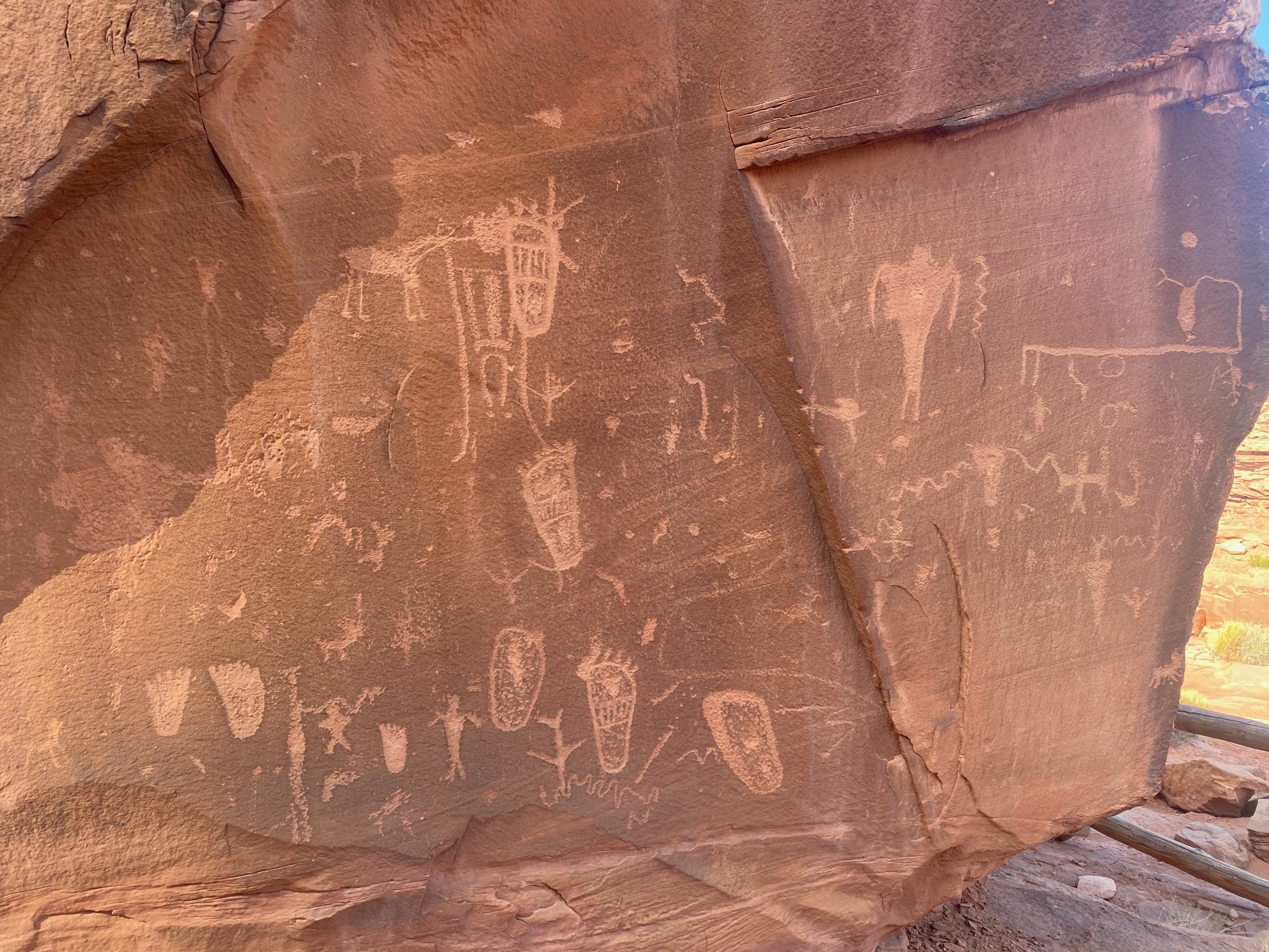
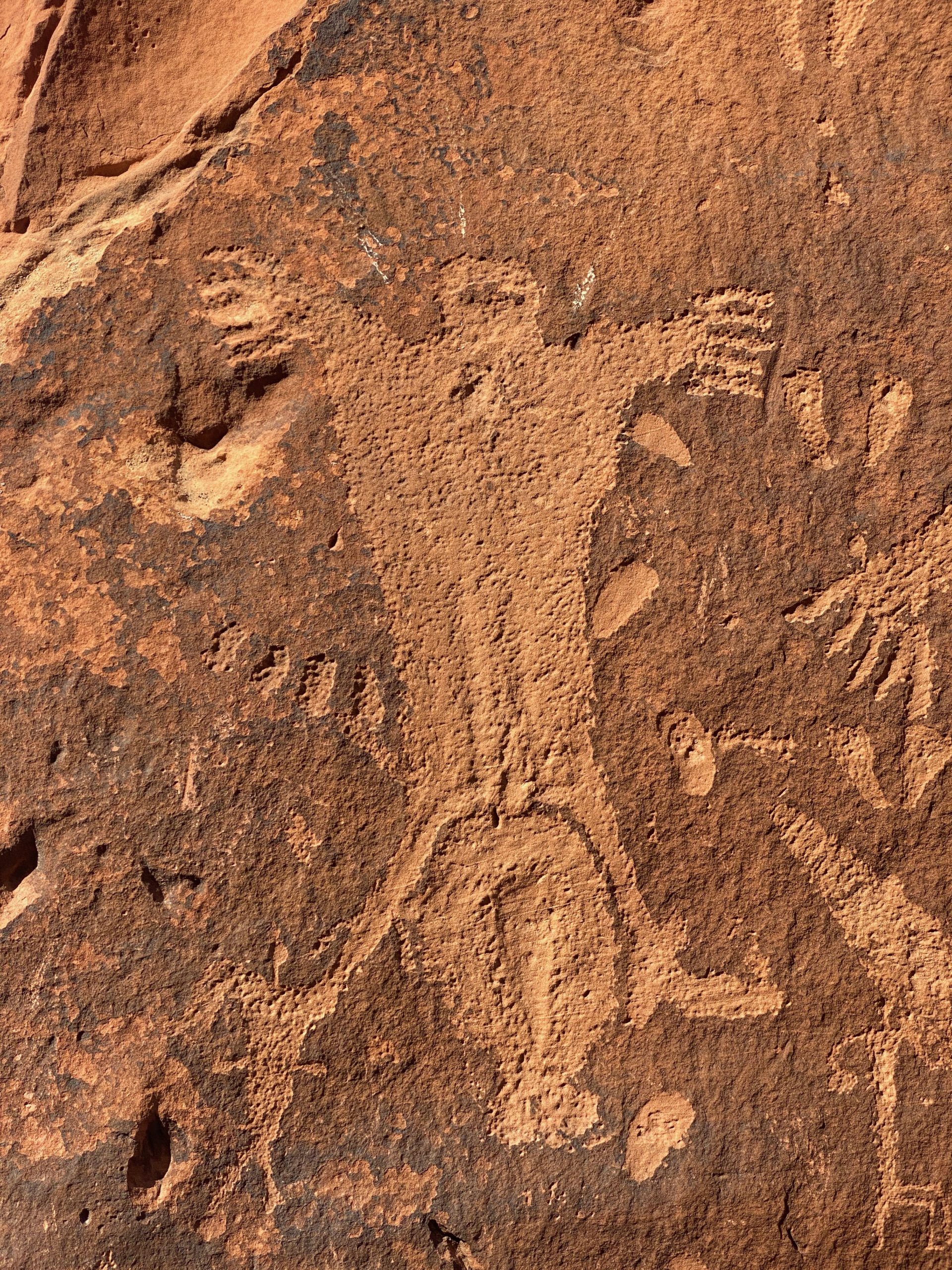
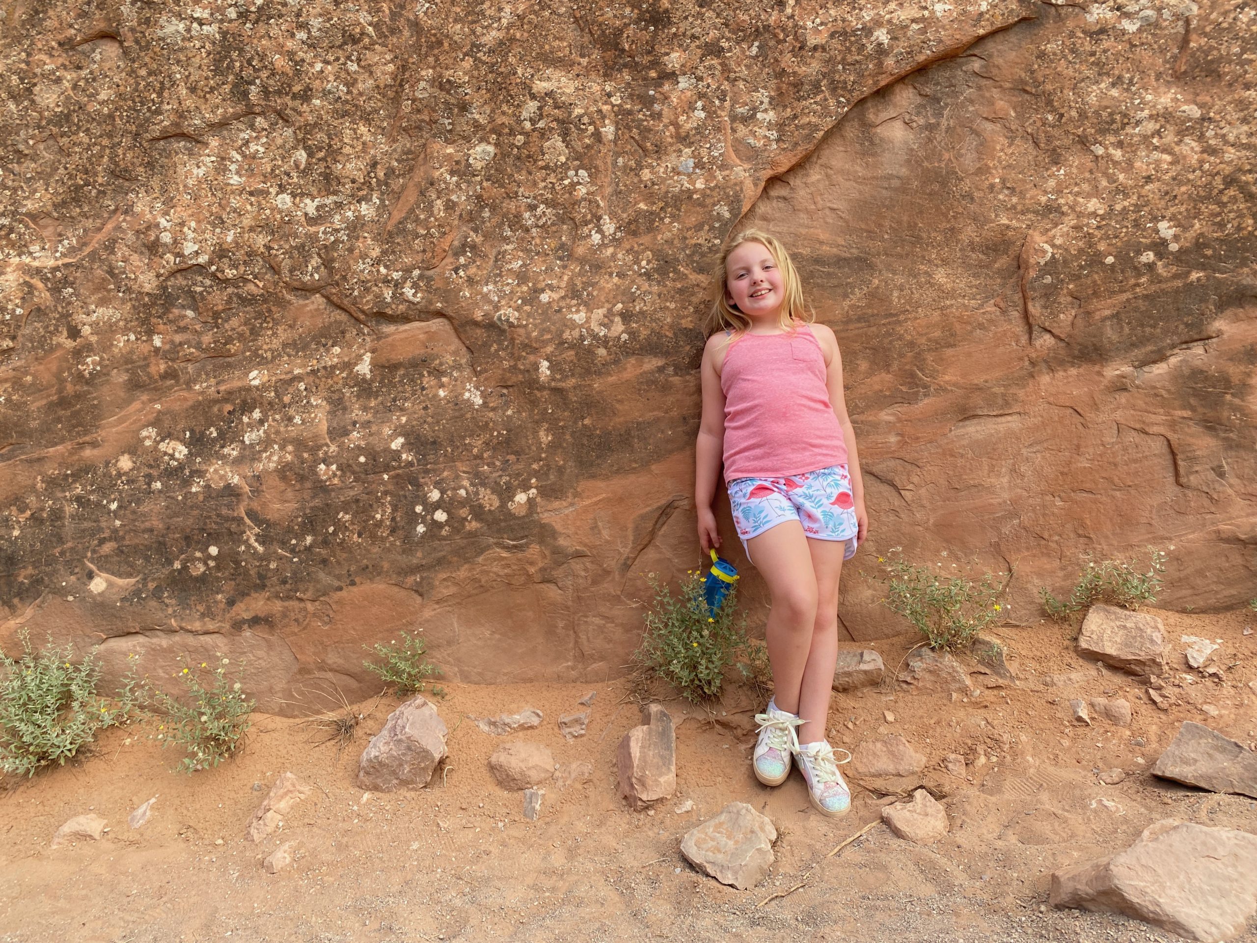
We took the first entrance nearest Moab first because this was the path to see the “birthing scene” -another famous rock petroglyph.

We had a beautiful drive along the river.
Someone’s cave house entrance. I want a cave house! We stayed in one in Spain and it was super cool. I have a search saved in Spain for “cuevas” or cave houses. ha maybe one day!
The Birth Stone- petroglyphs on all 4 sides. From sometime between 450-1250 AD.
The birthing scene is interesting because if you look at the “baby”- its feet down. I think they documented this breech birth because it was so odd to them.

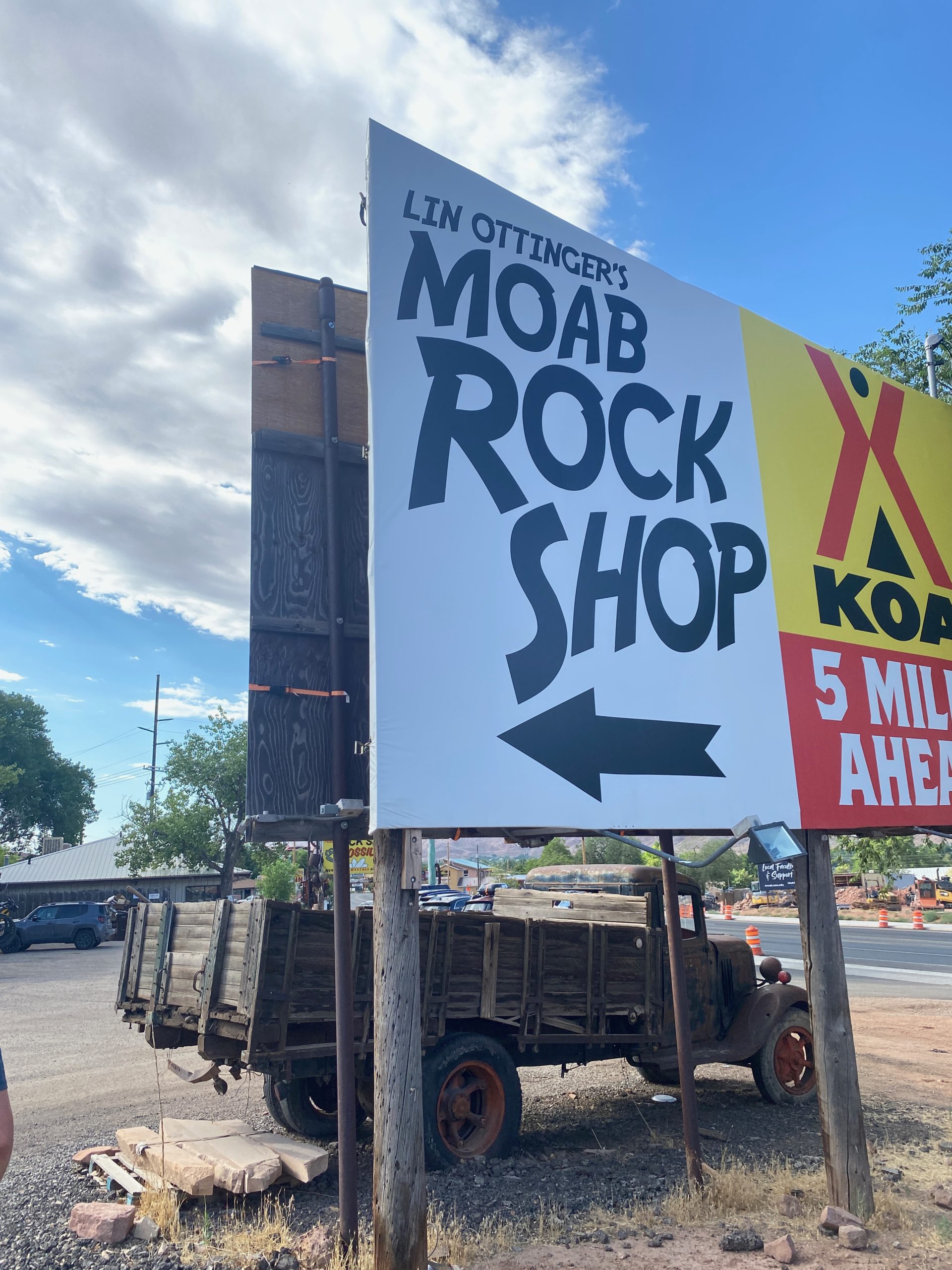
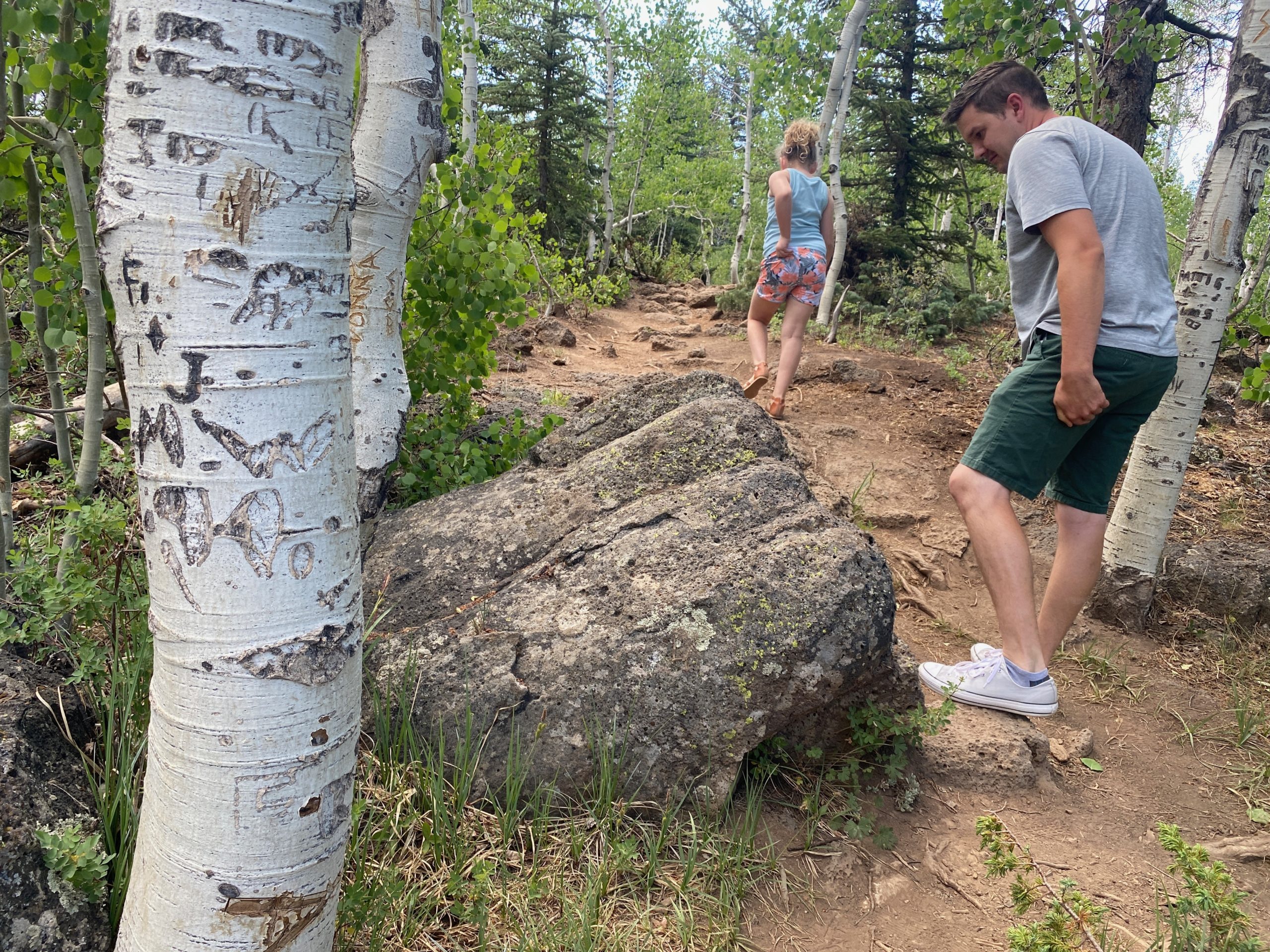
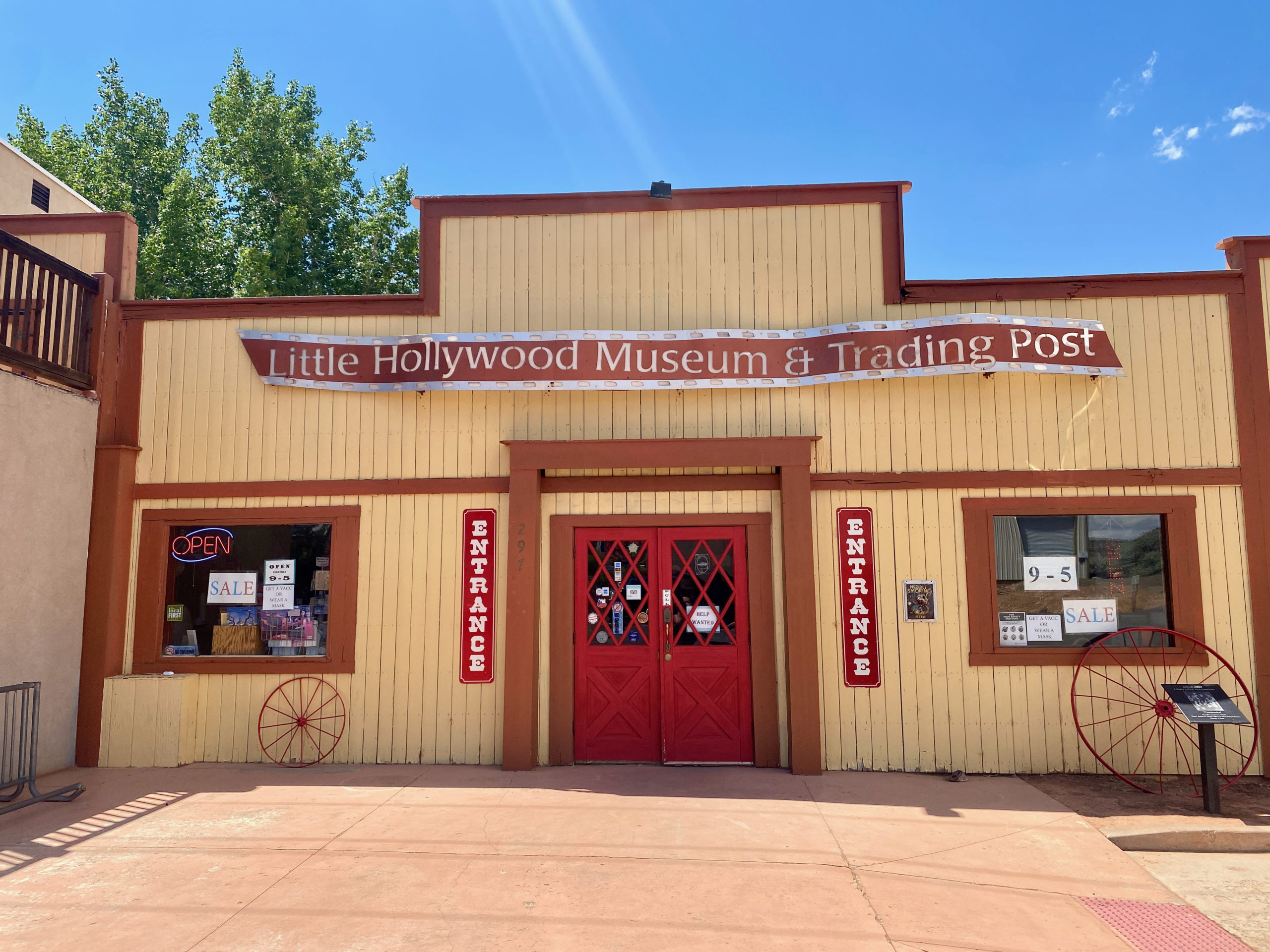
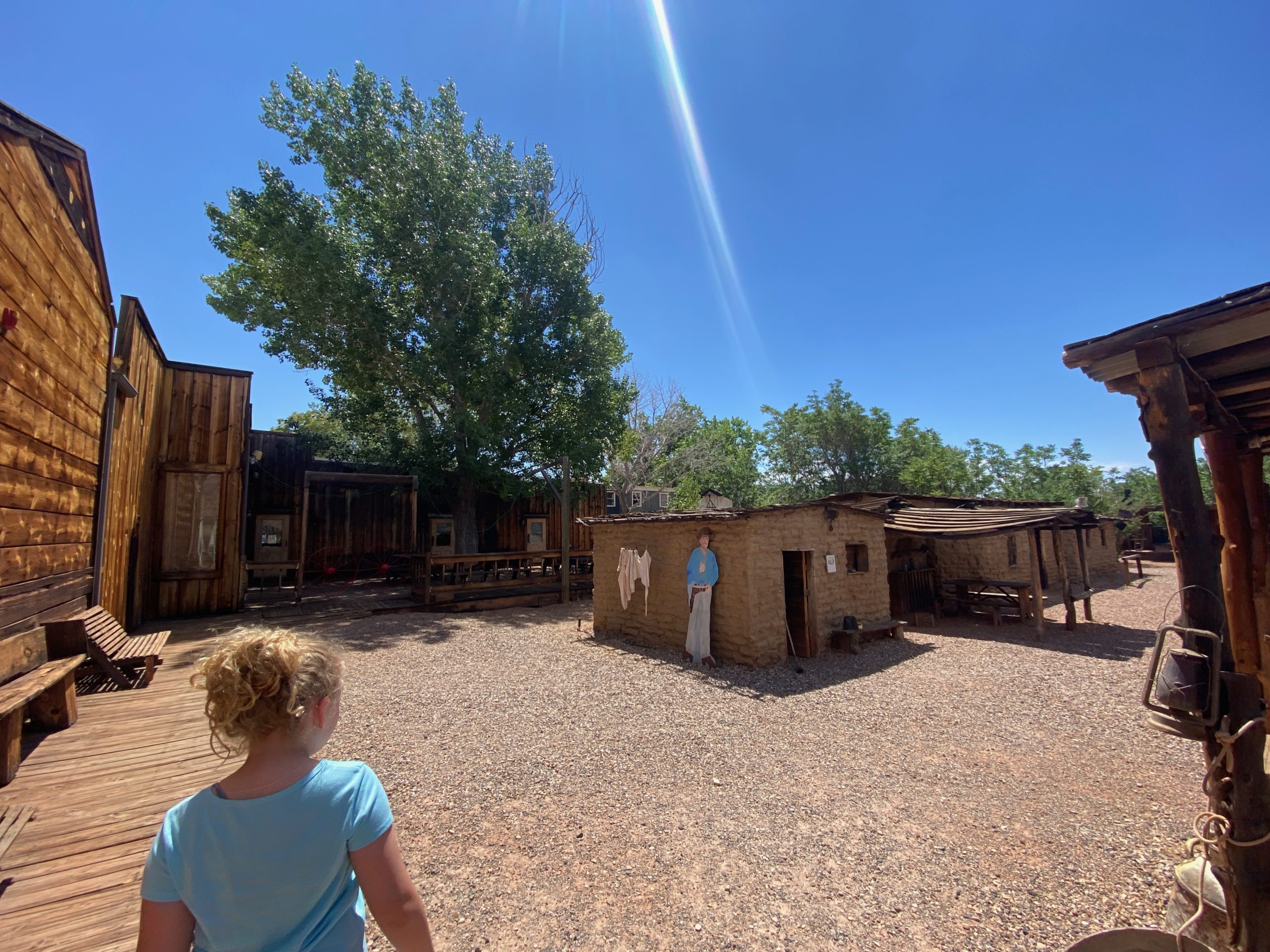
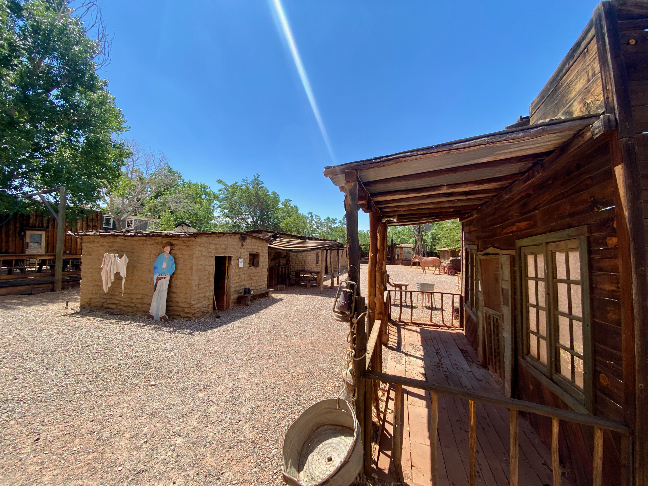
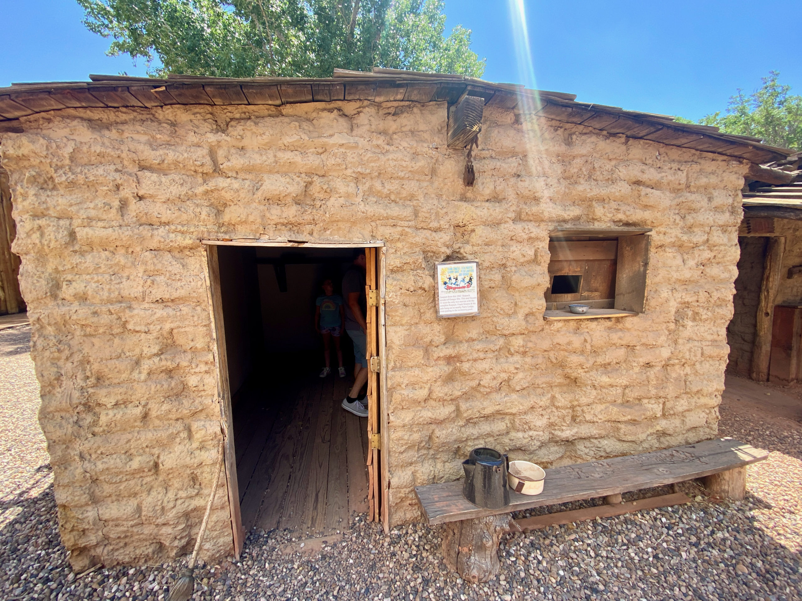
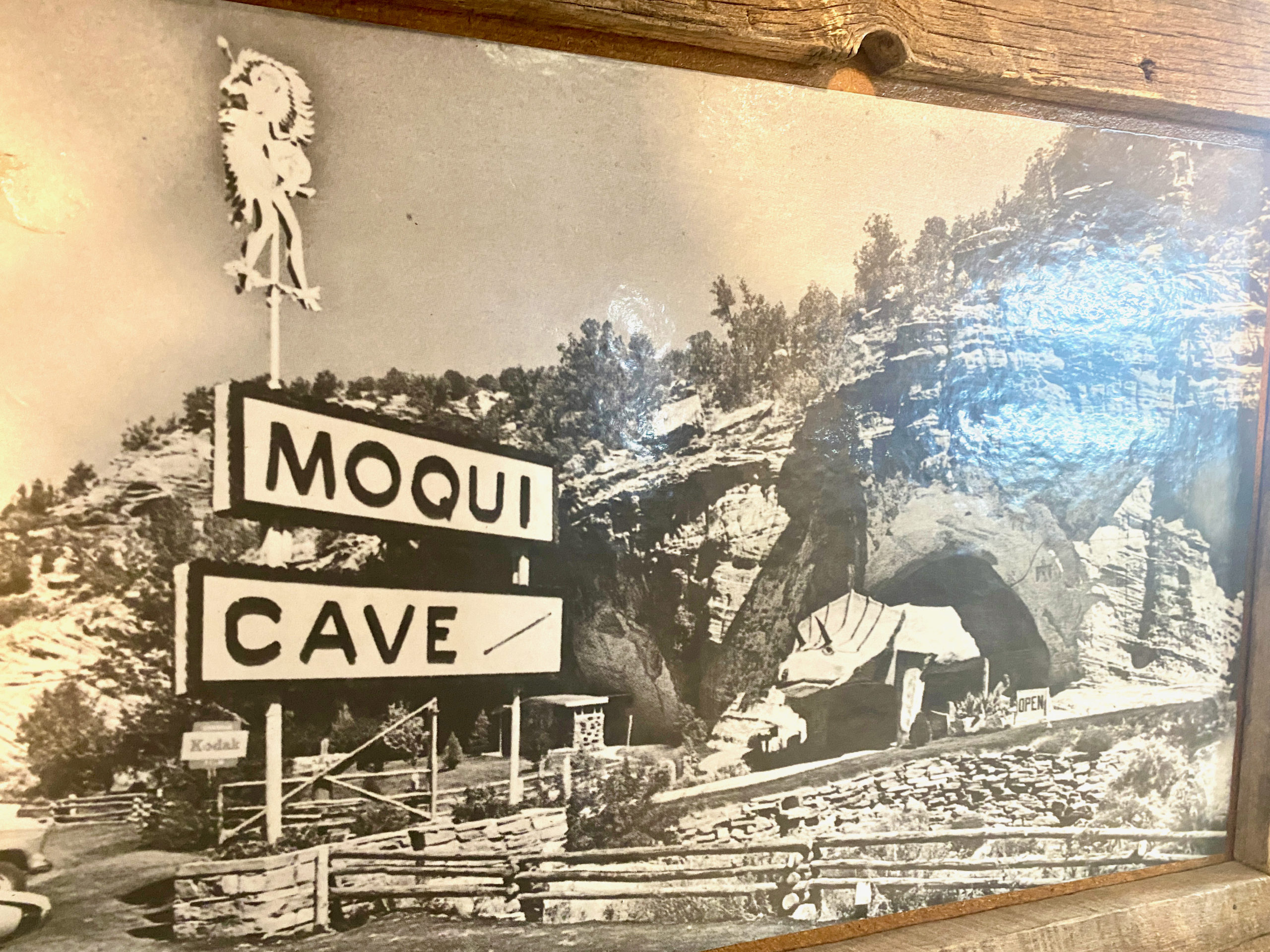
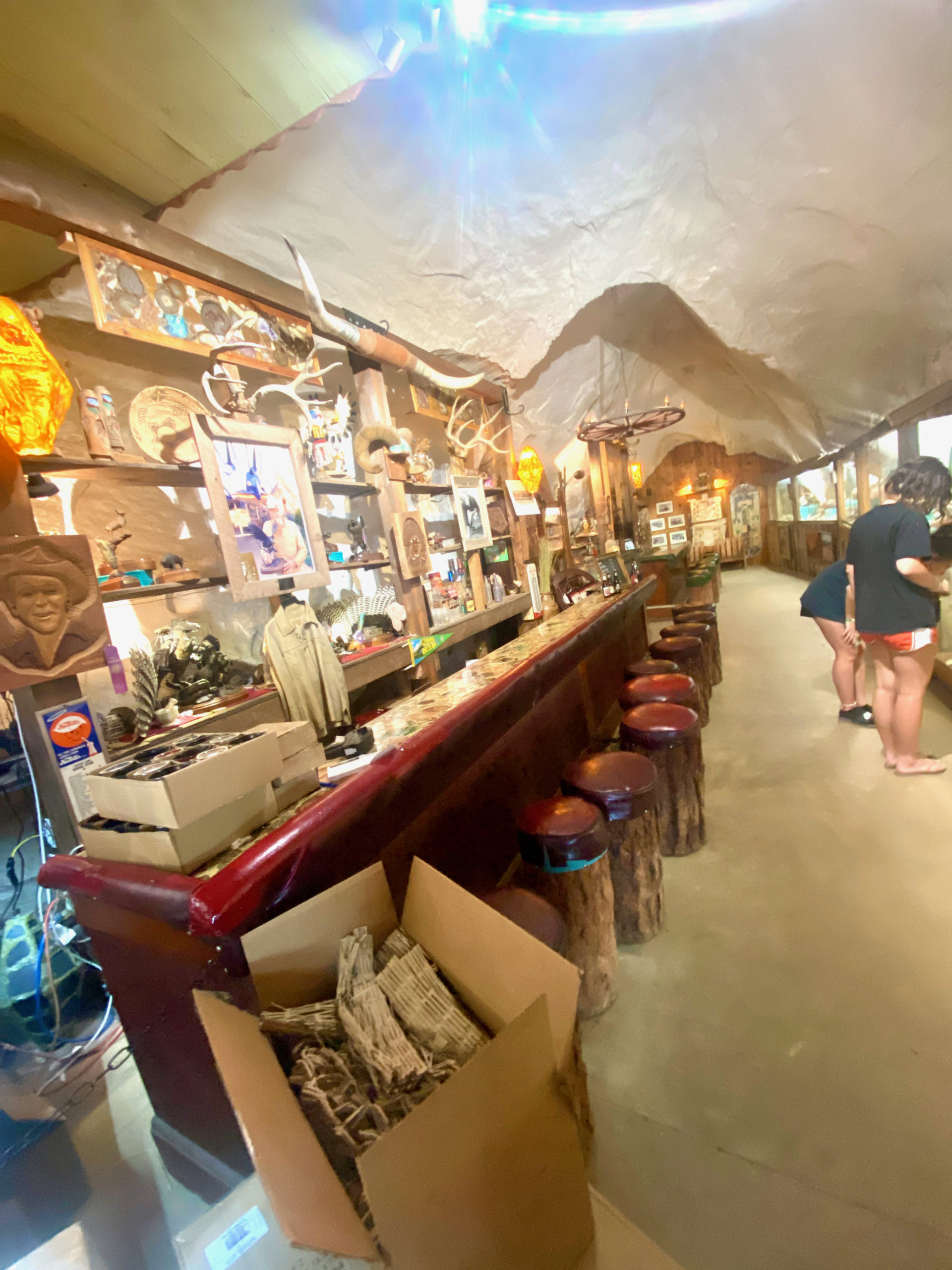
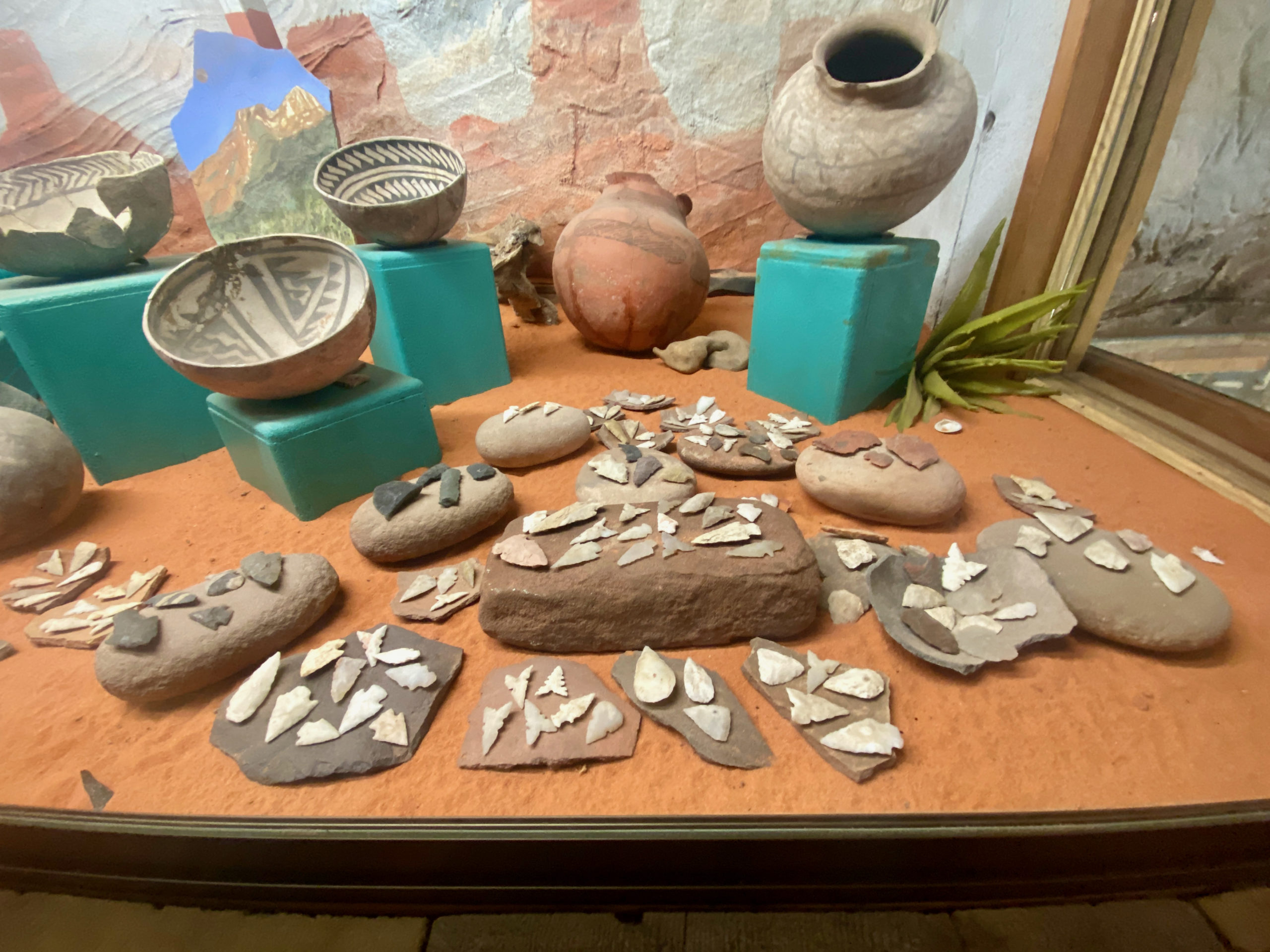
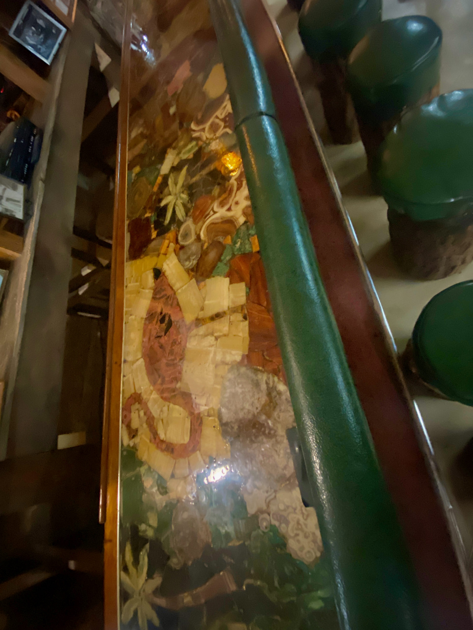
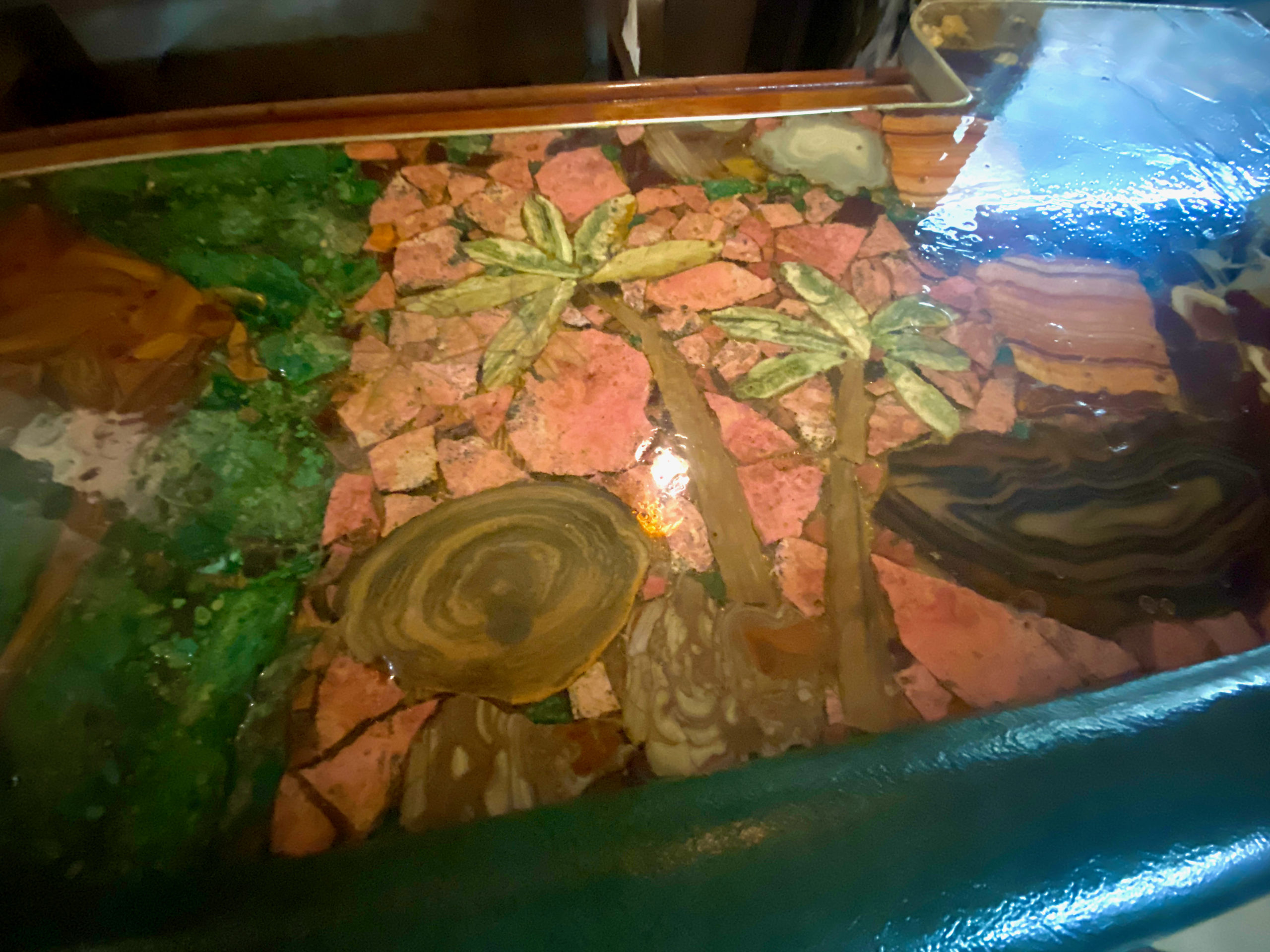
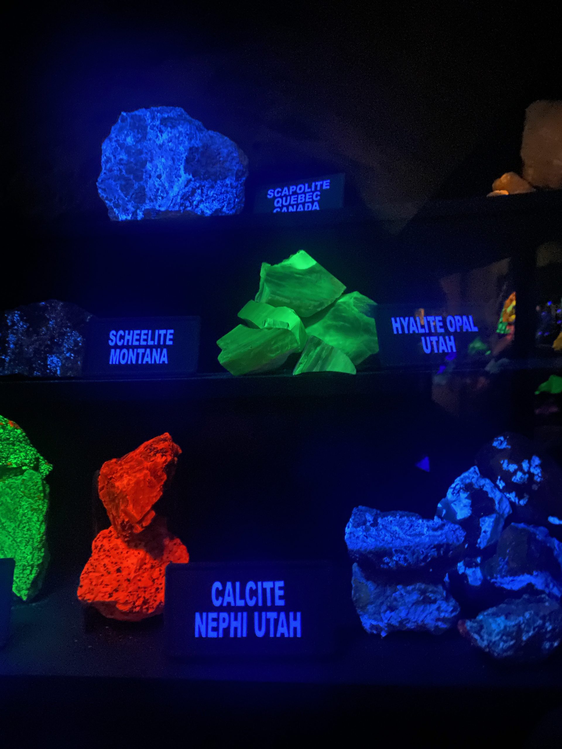
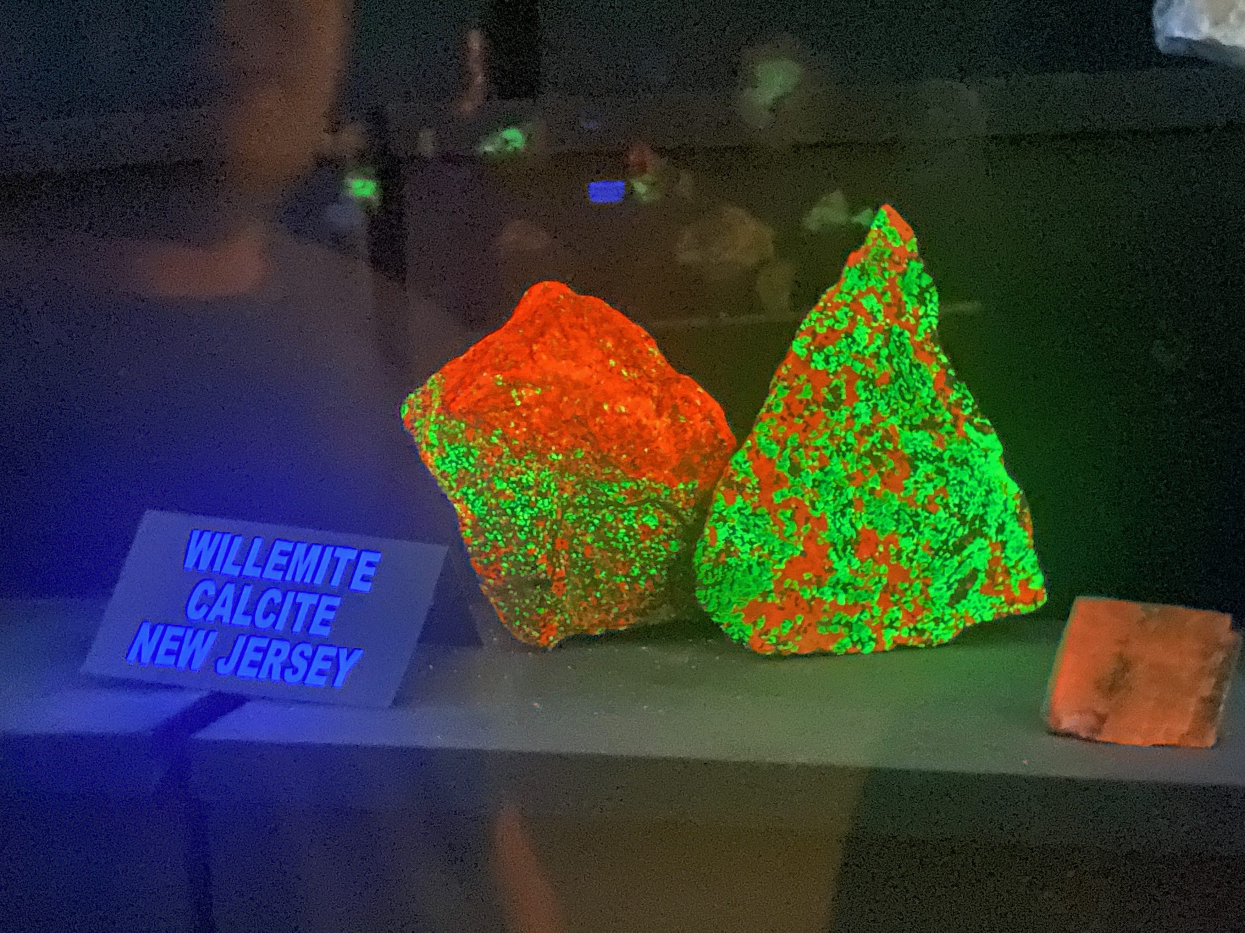
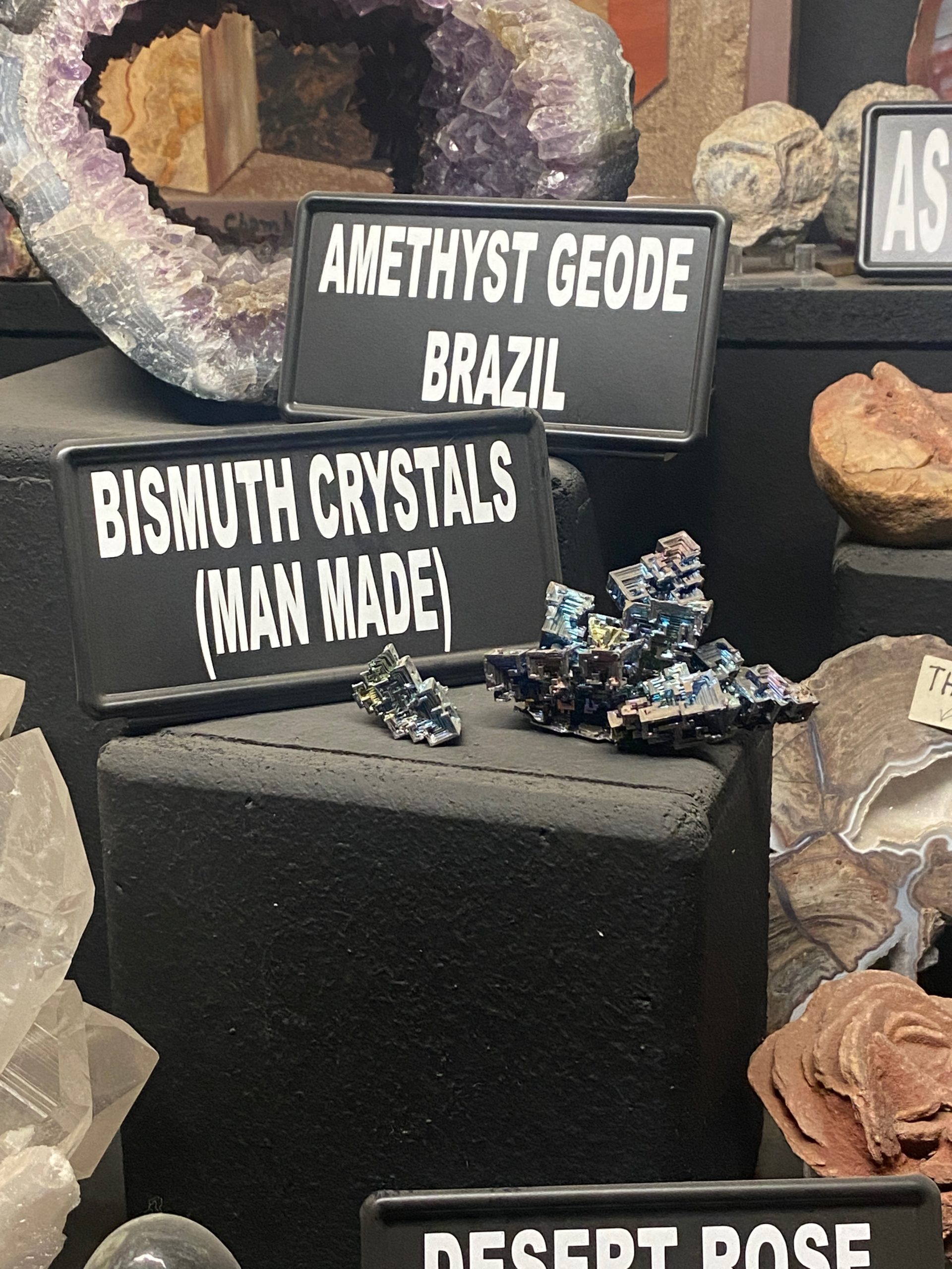
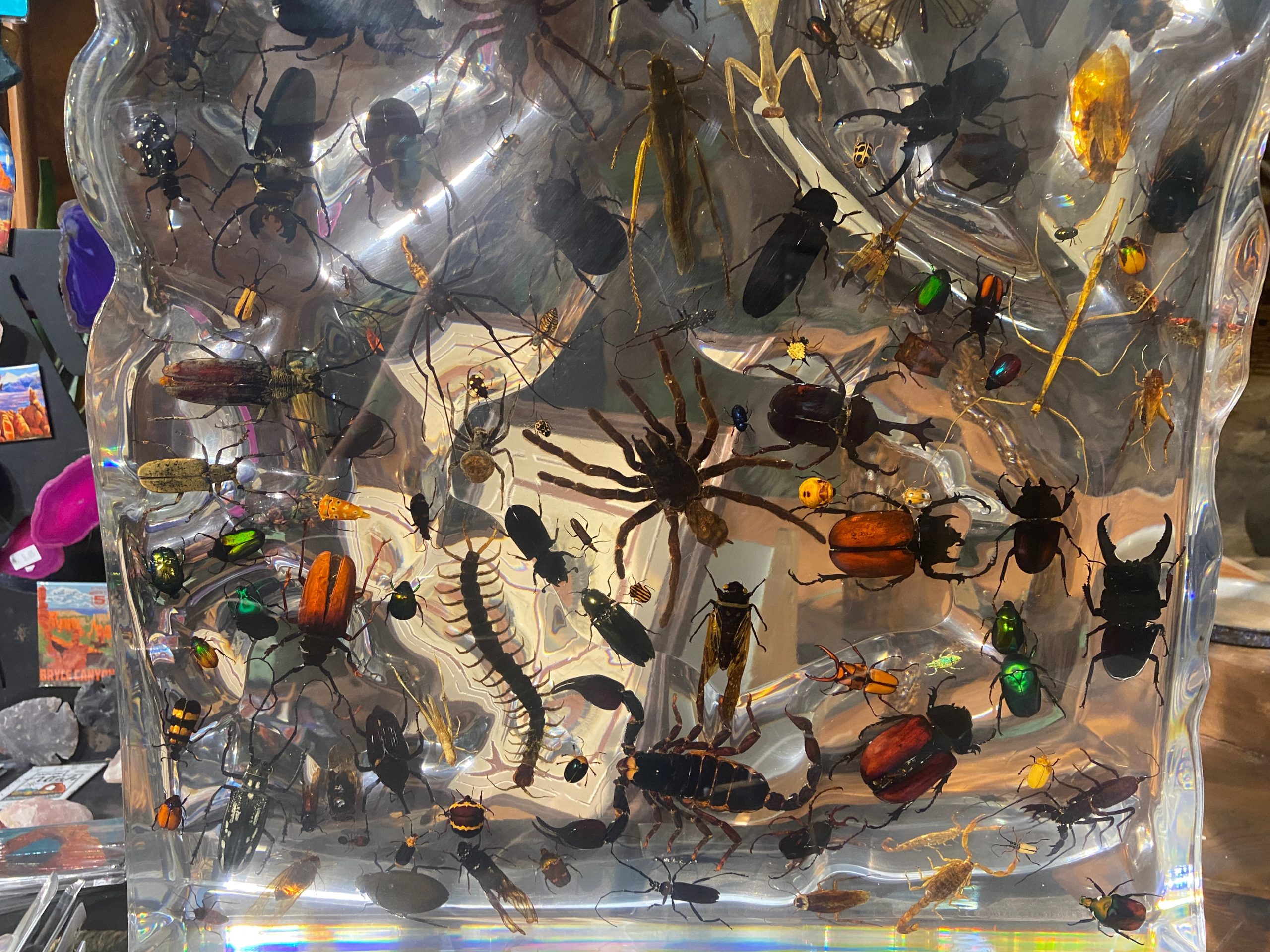
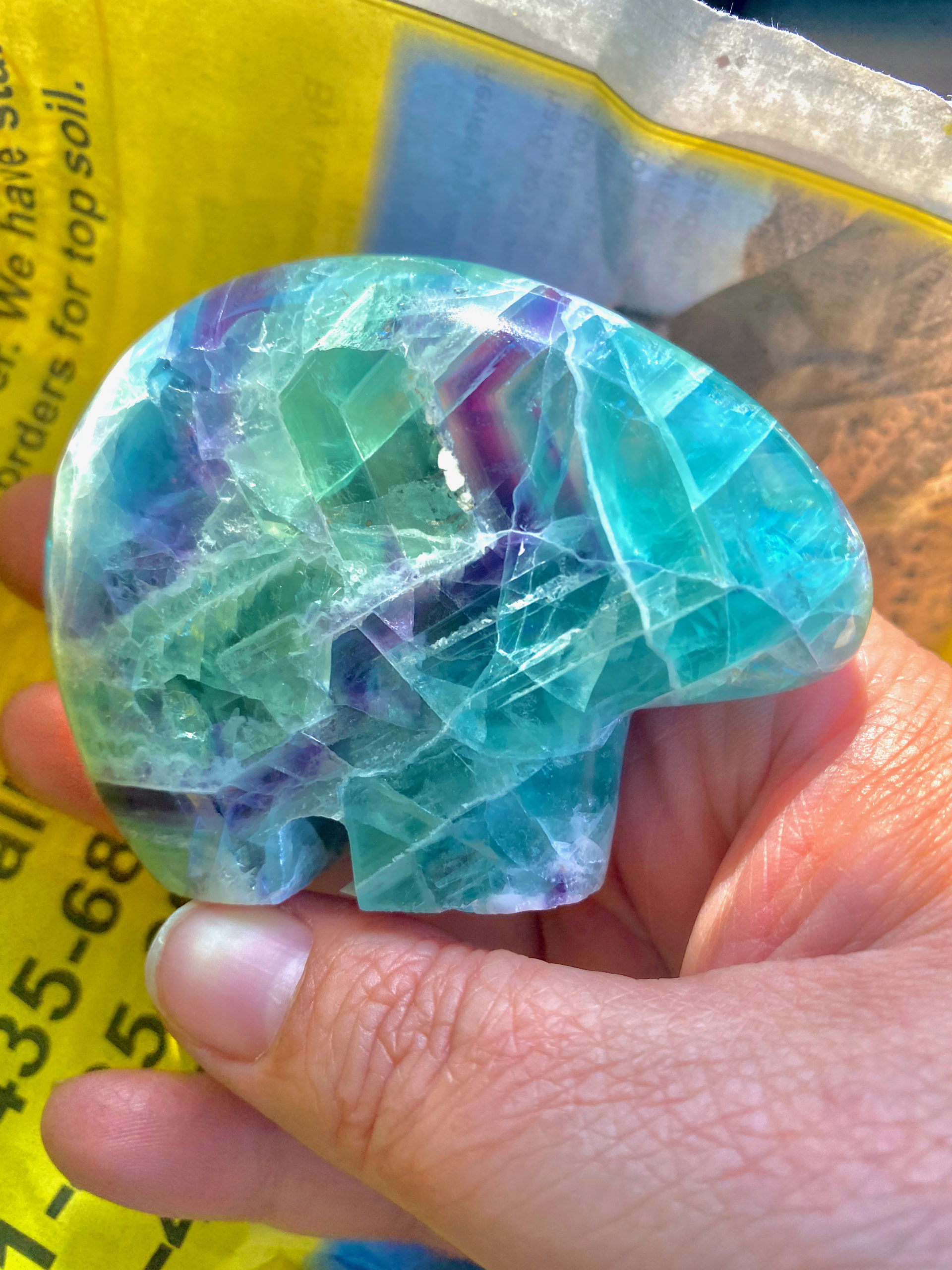
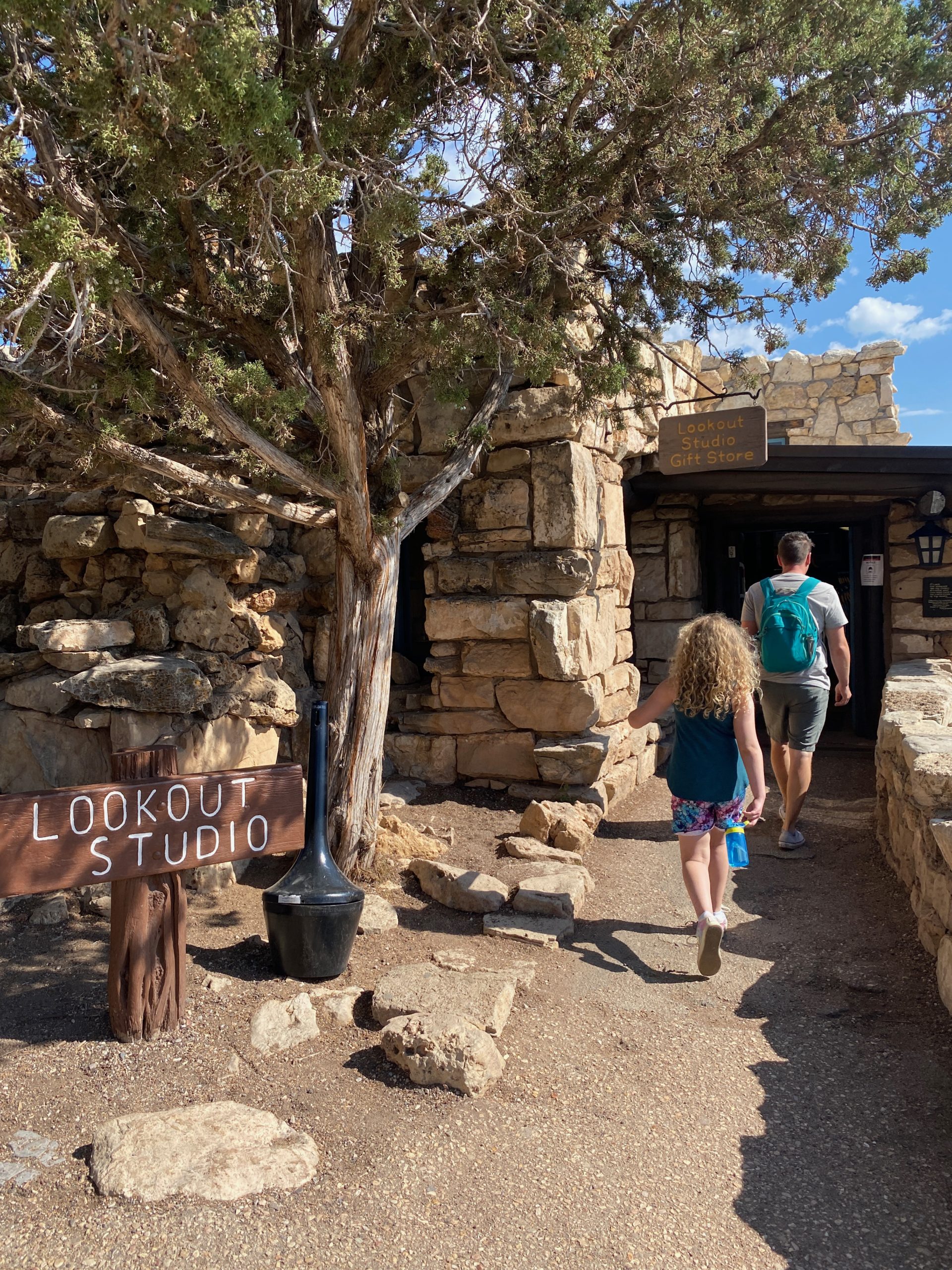
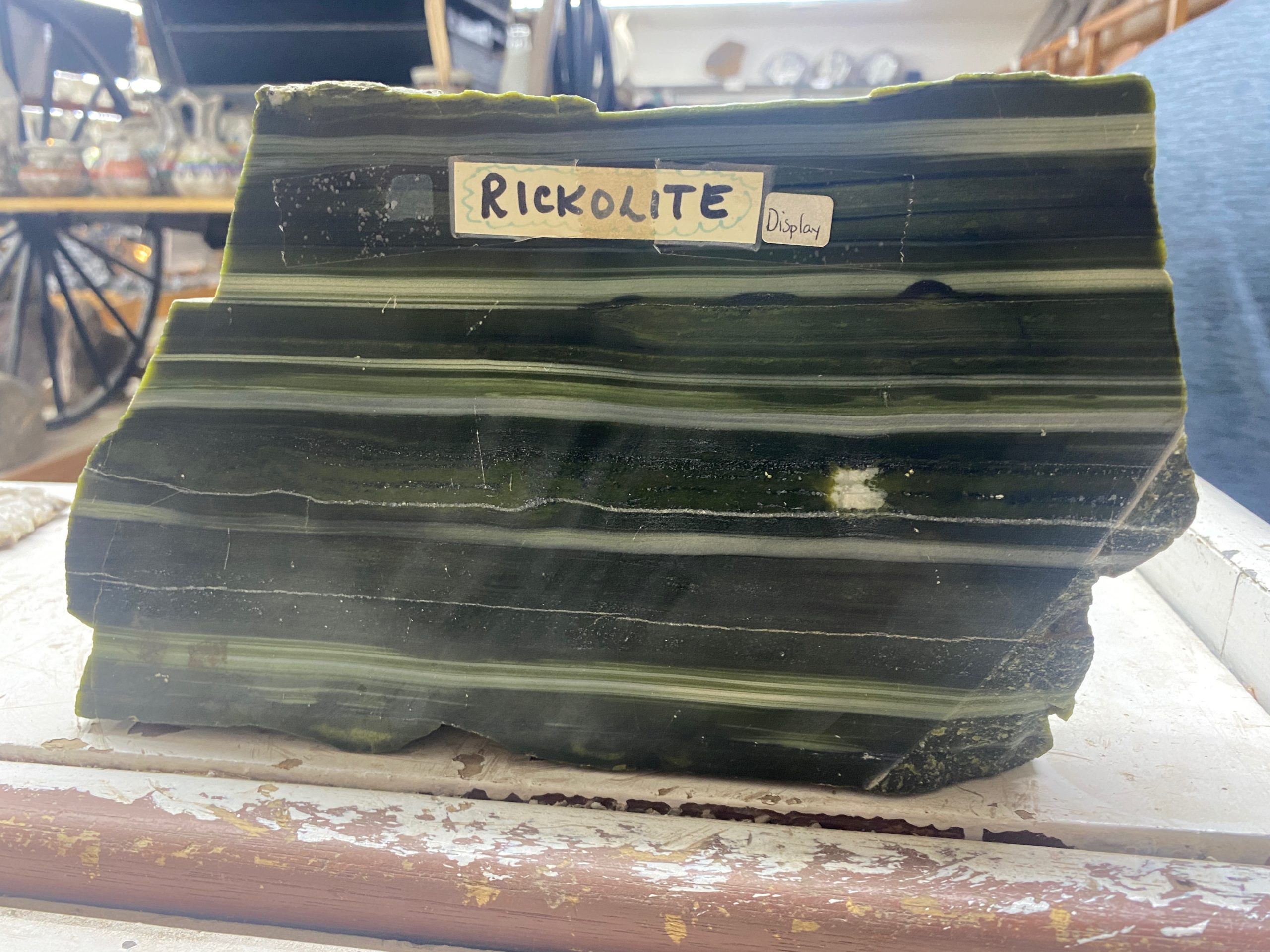
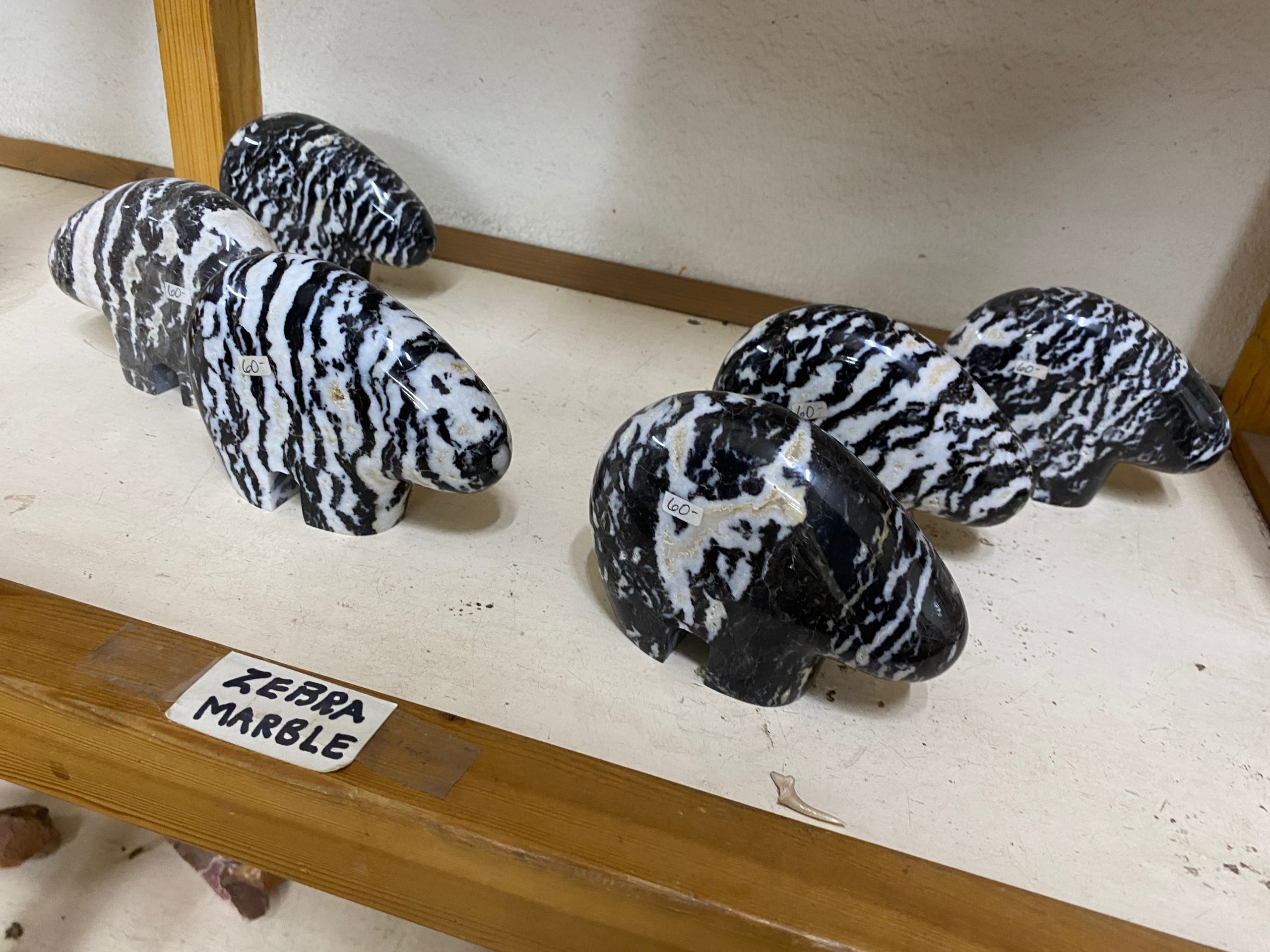
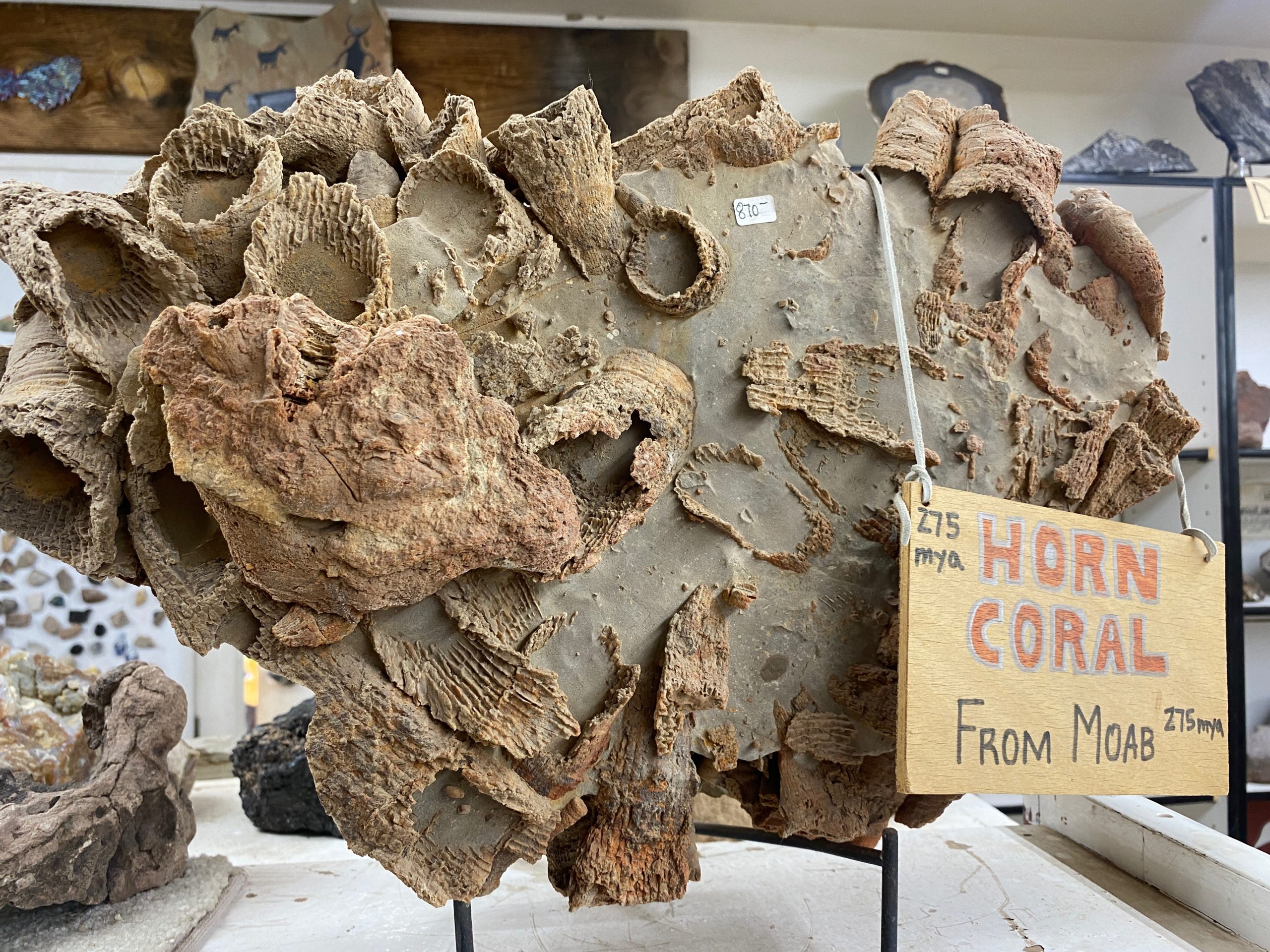
We backtracked through Moab on our way to the 2nd Canyonland’s entrance and it was 9:30am-so we could stop in to the Moab Rock Shop! They have some COOL stuff in this rock shop.

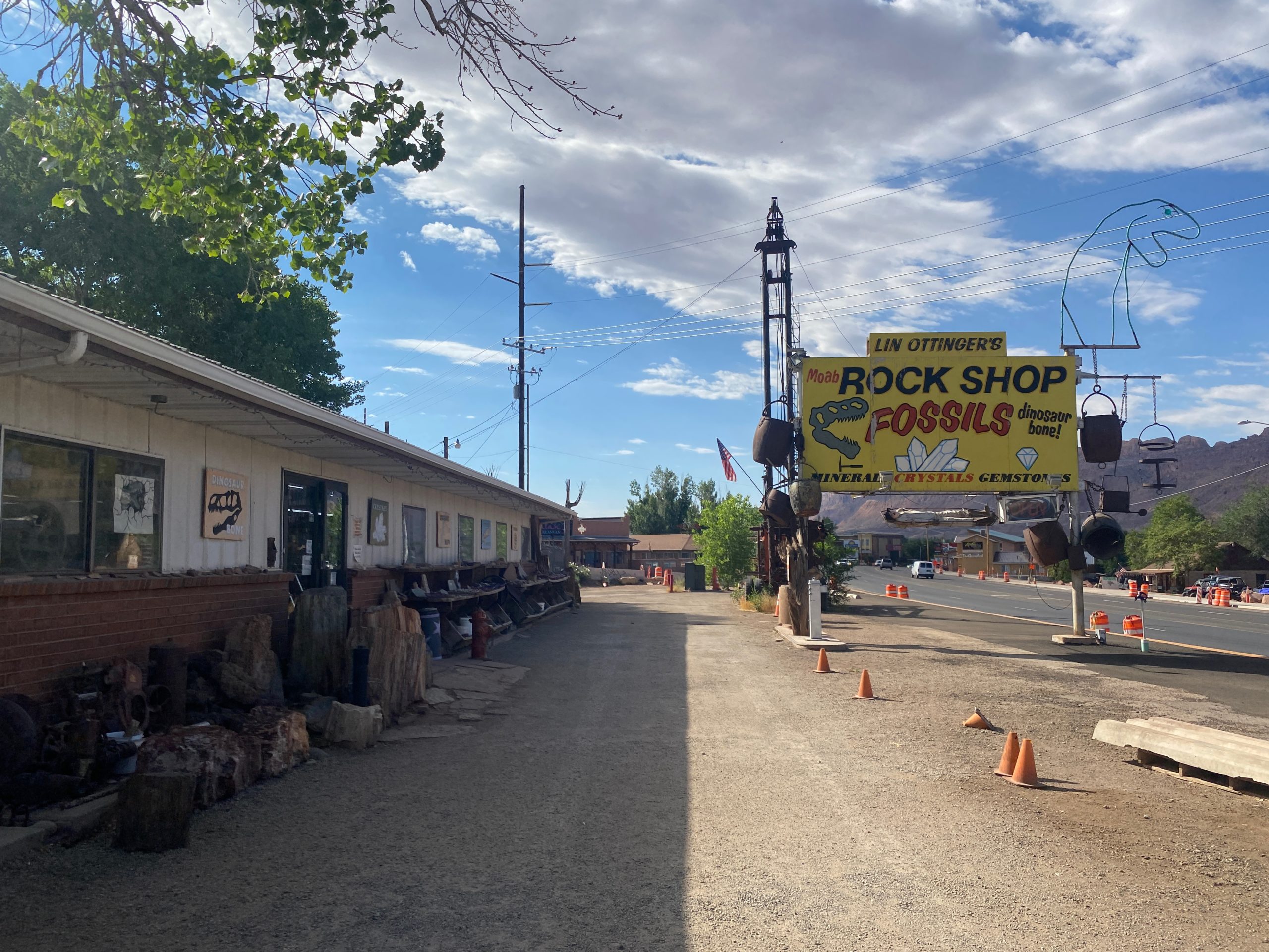
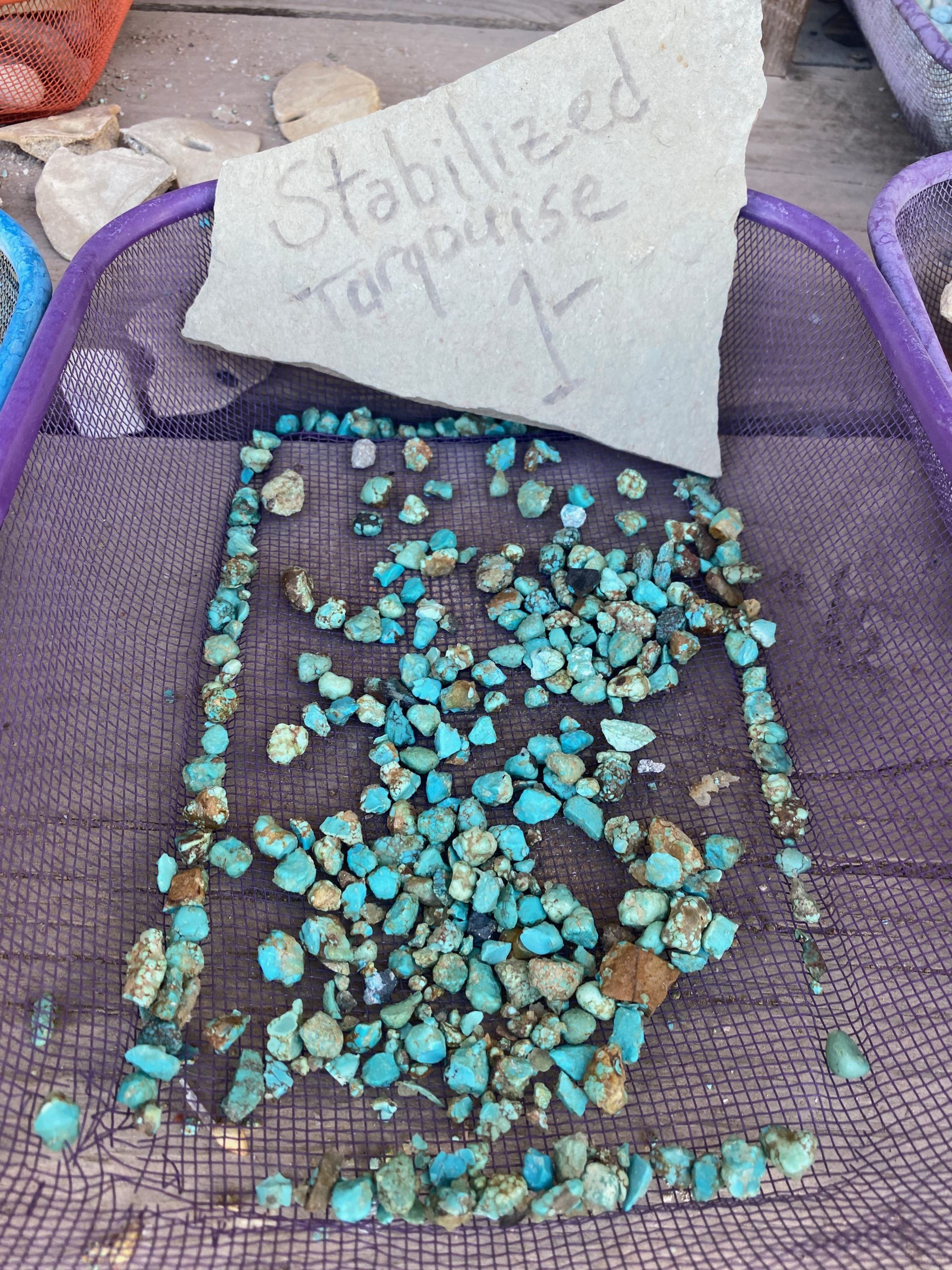
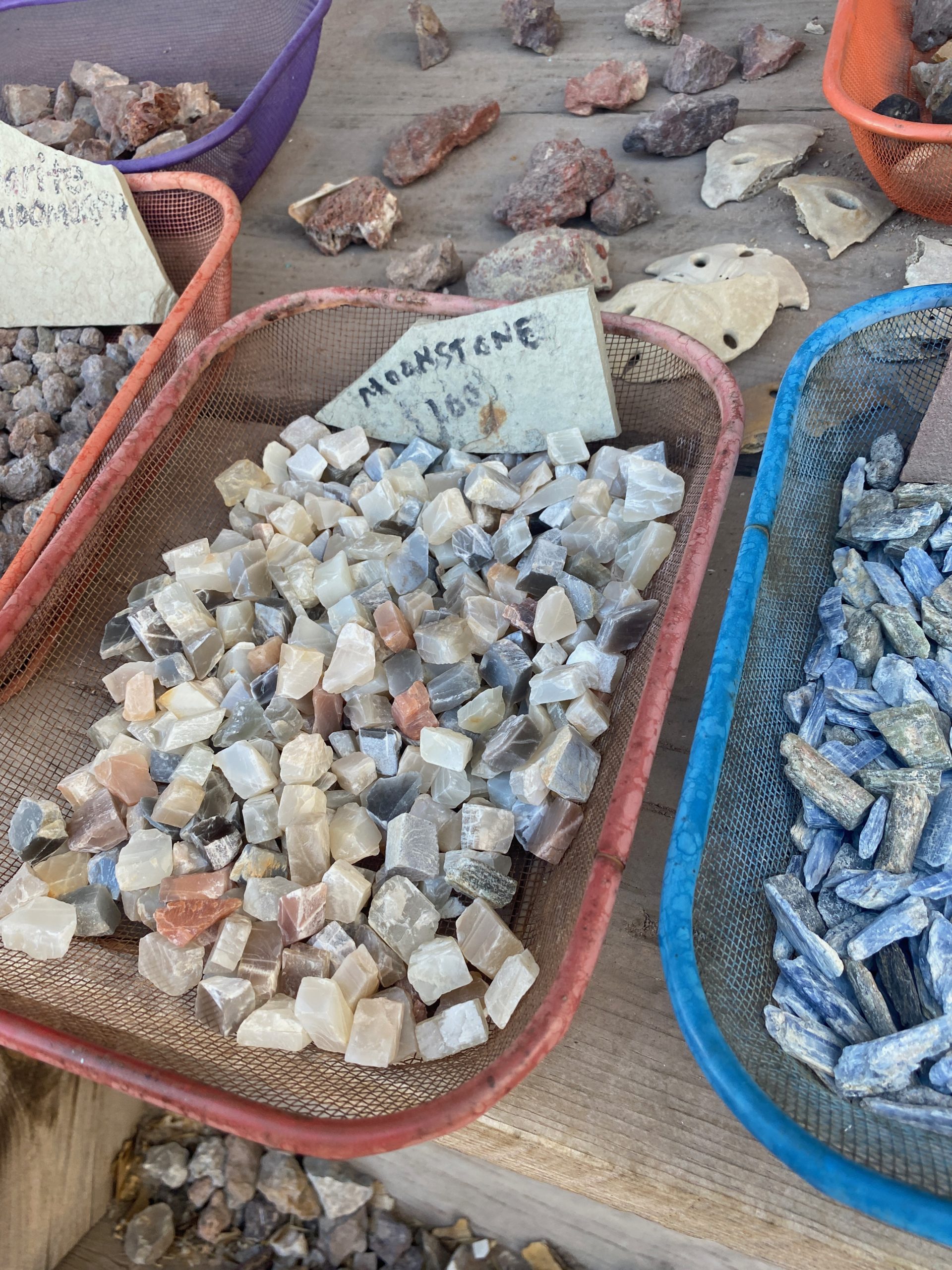
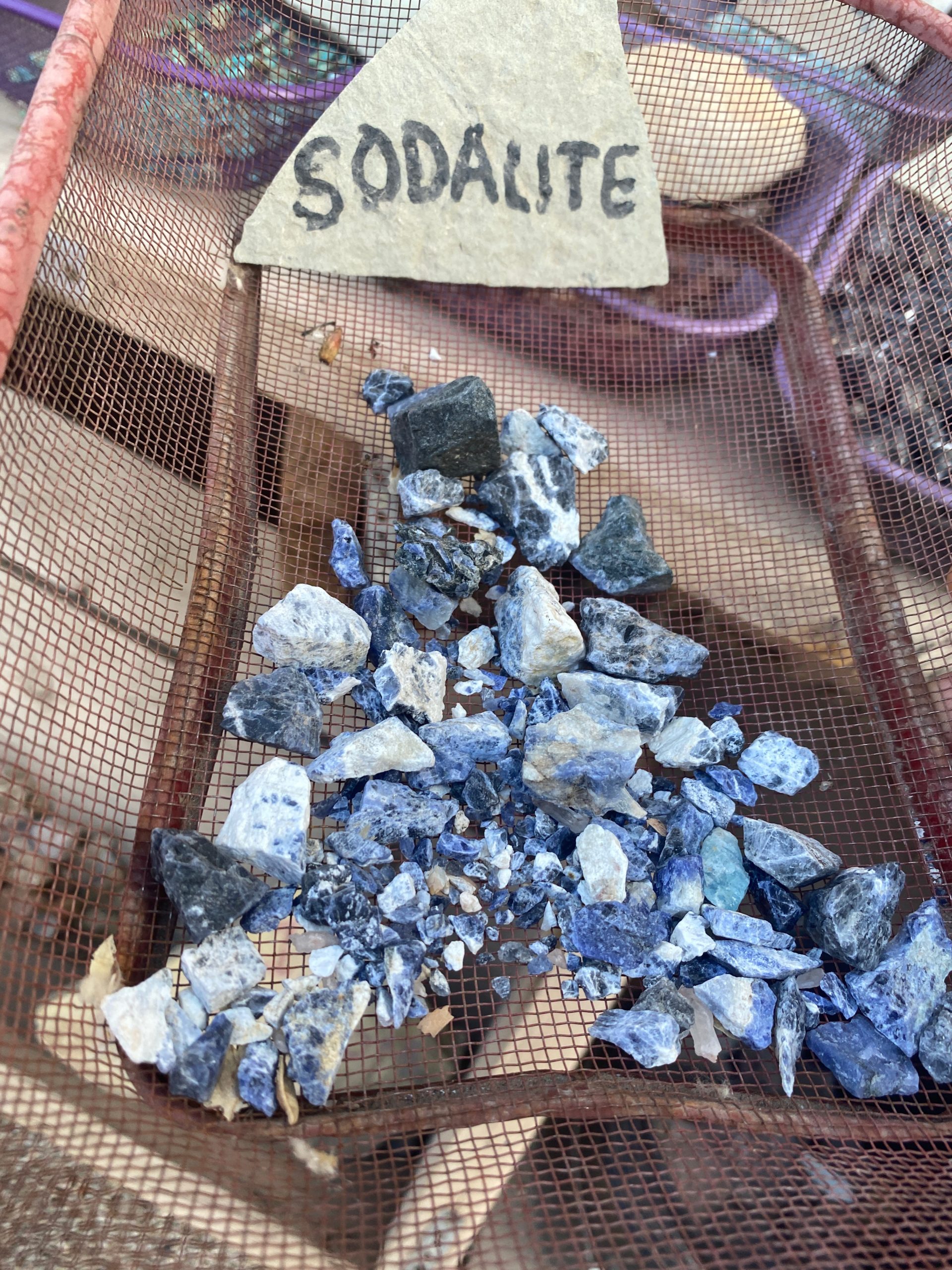
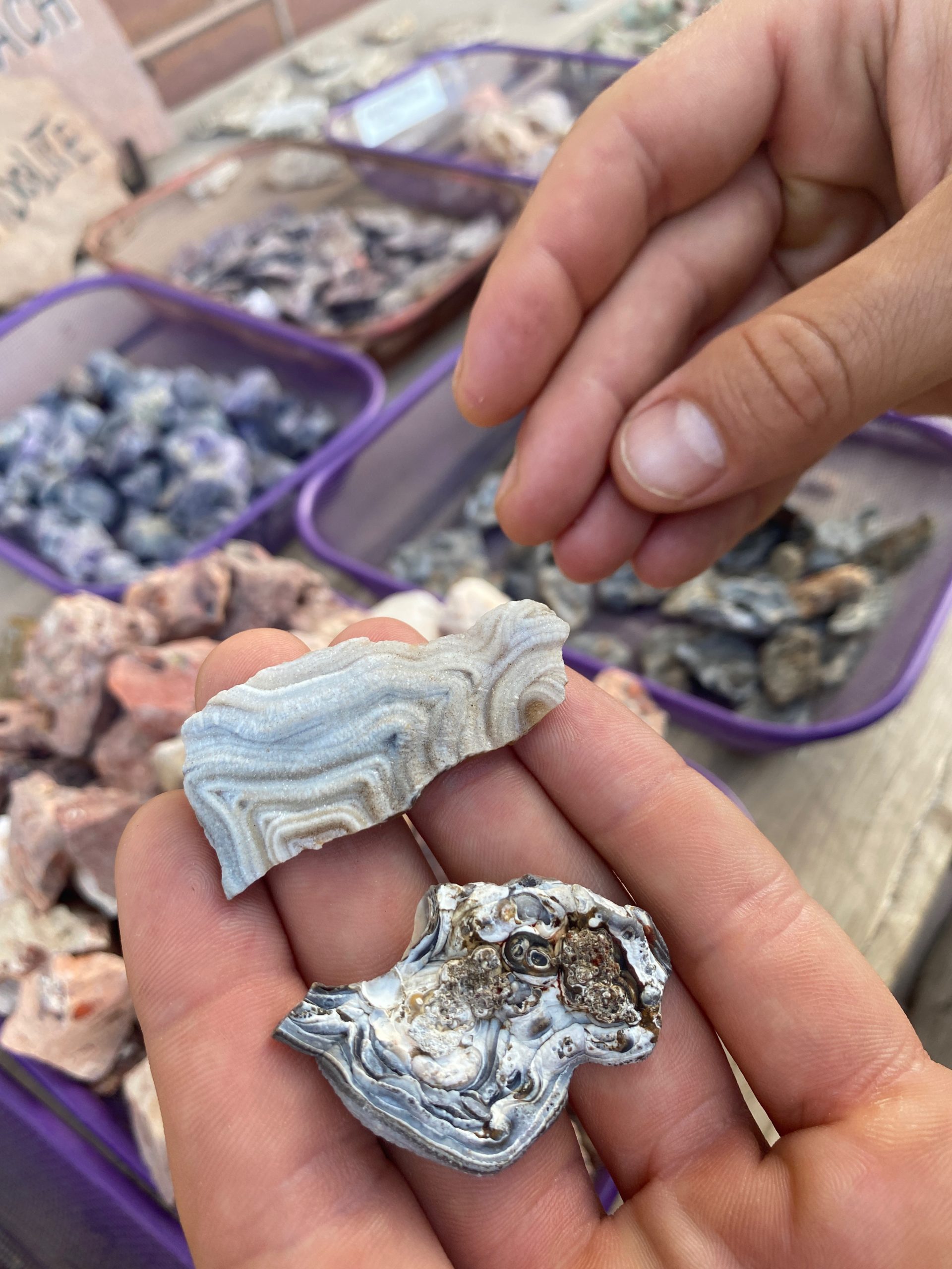
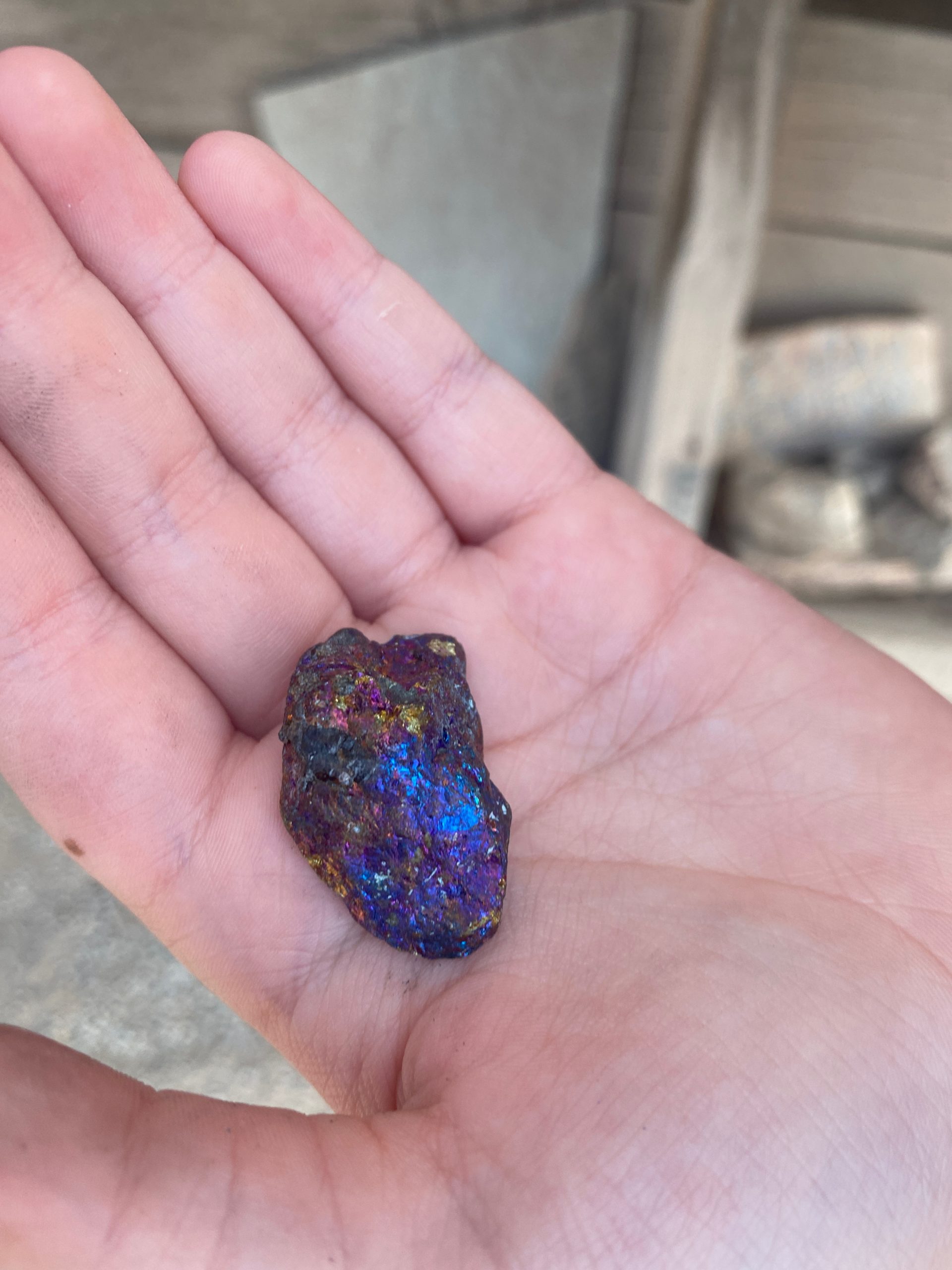
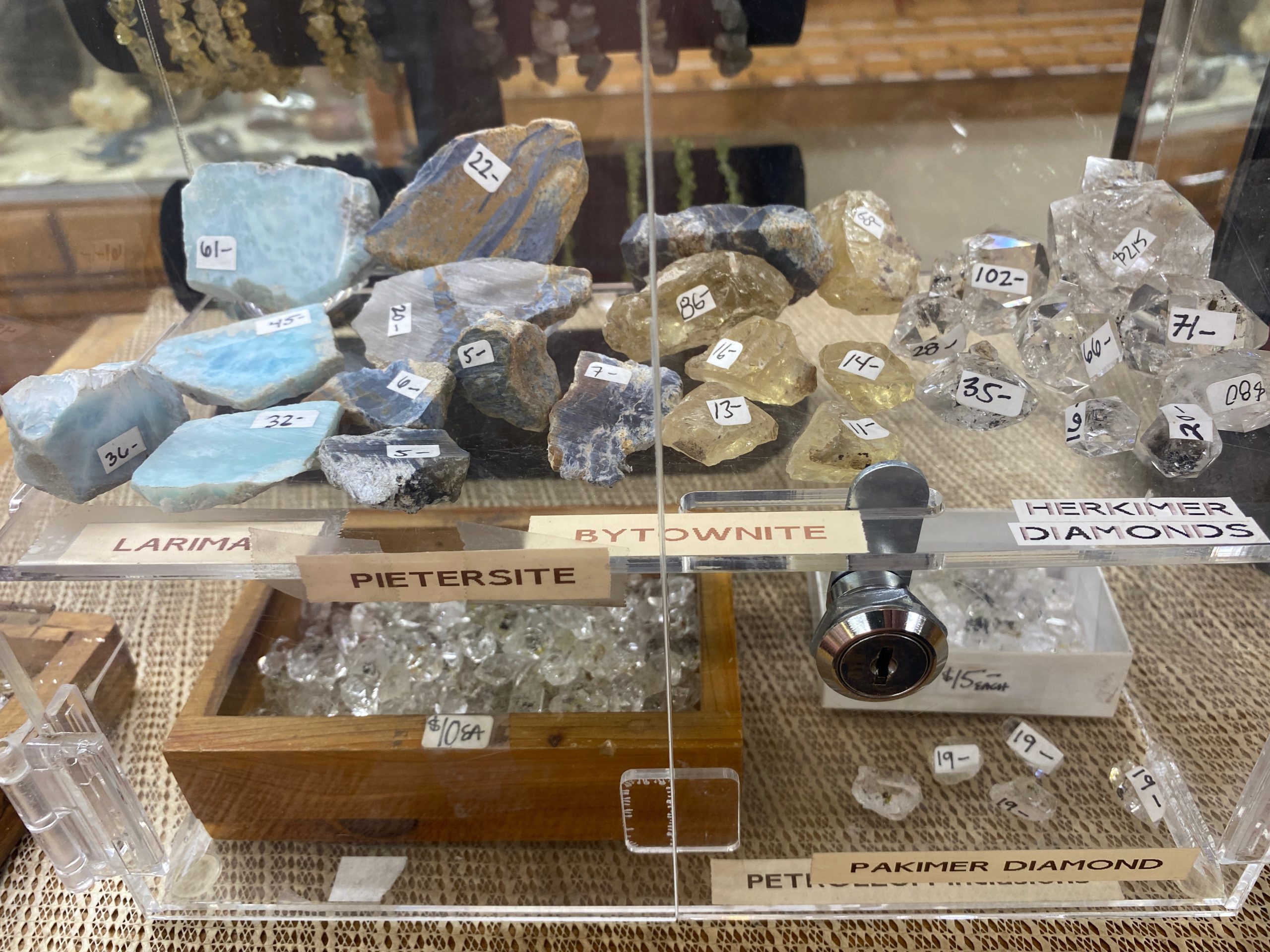
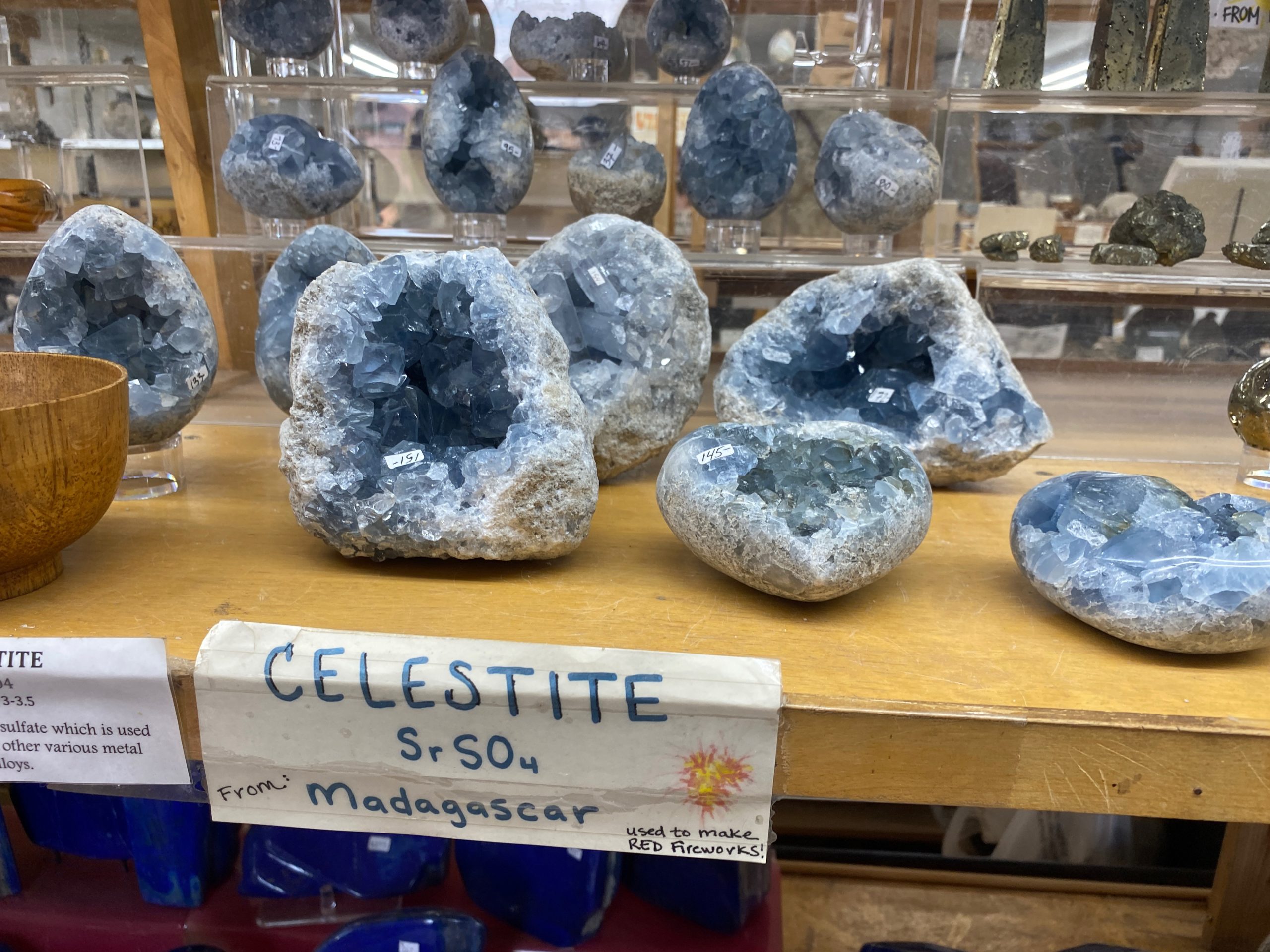
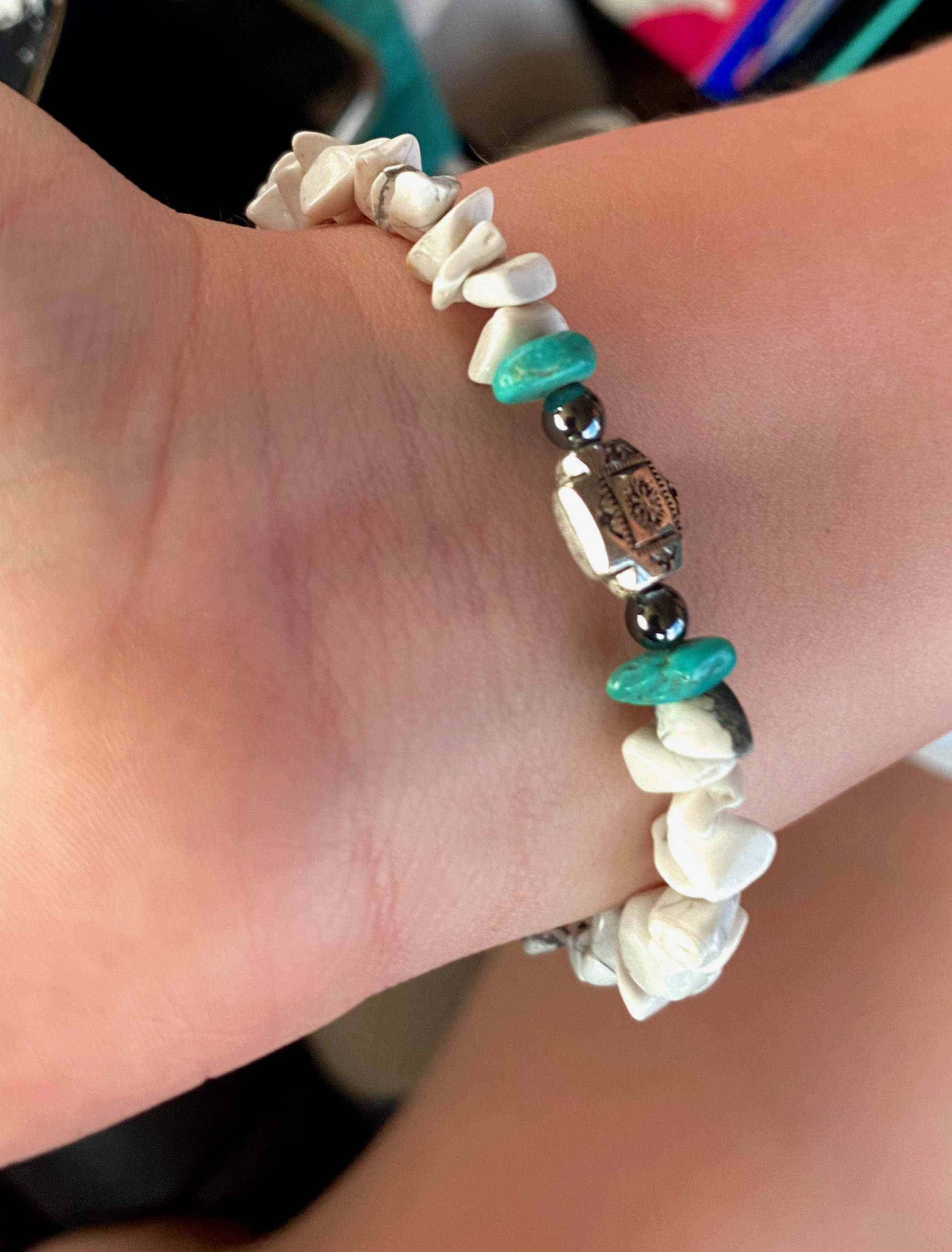
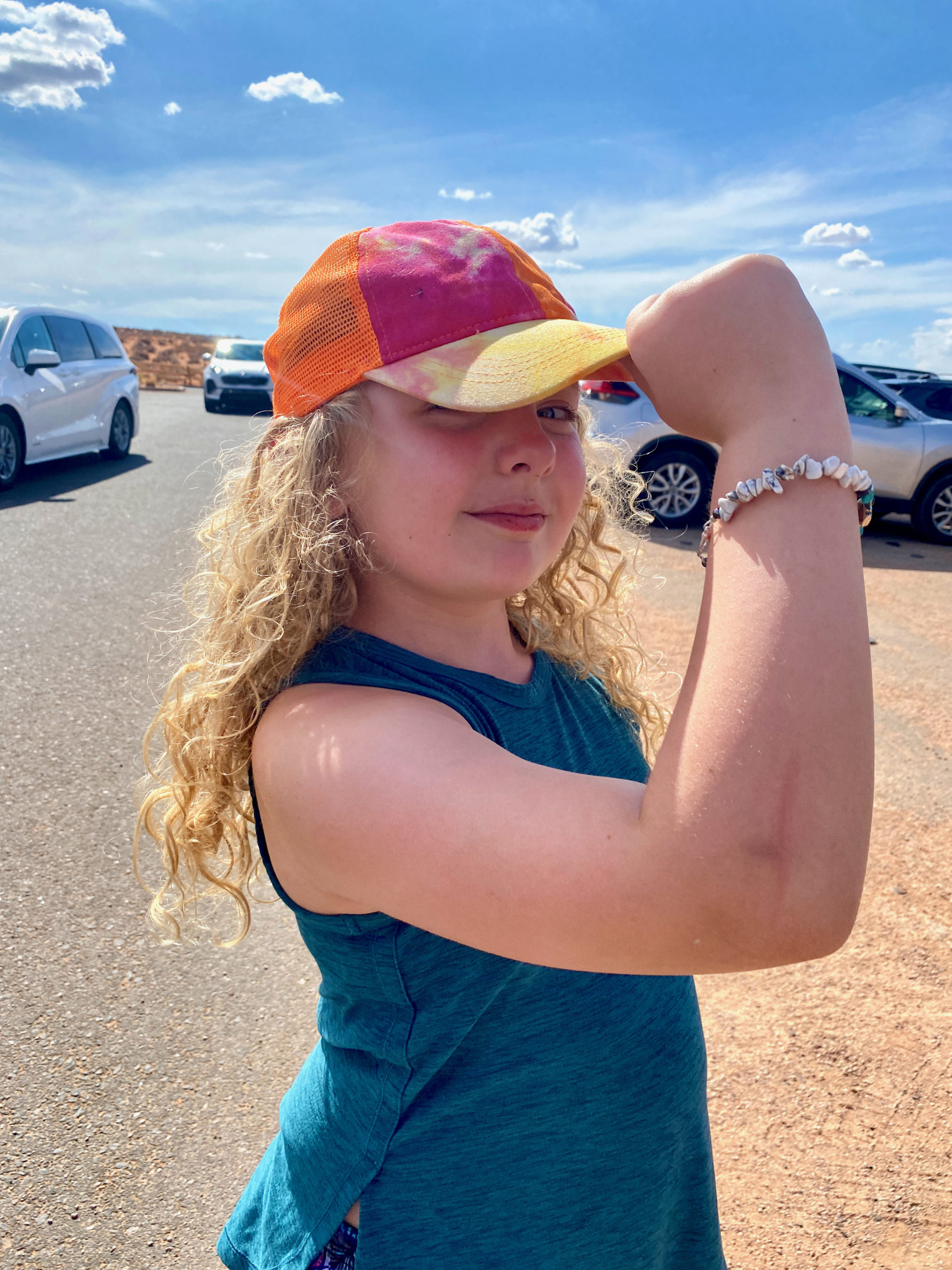
Norah purchased a red coral necklace, a polished Calcite heart and a couple of other small rocks she found interesting.

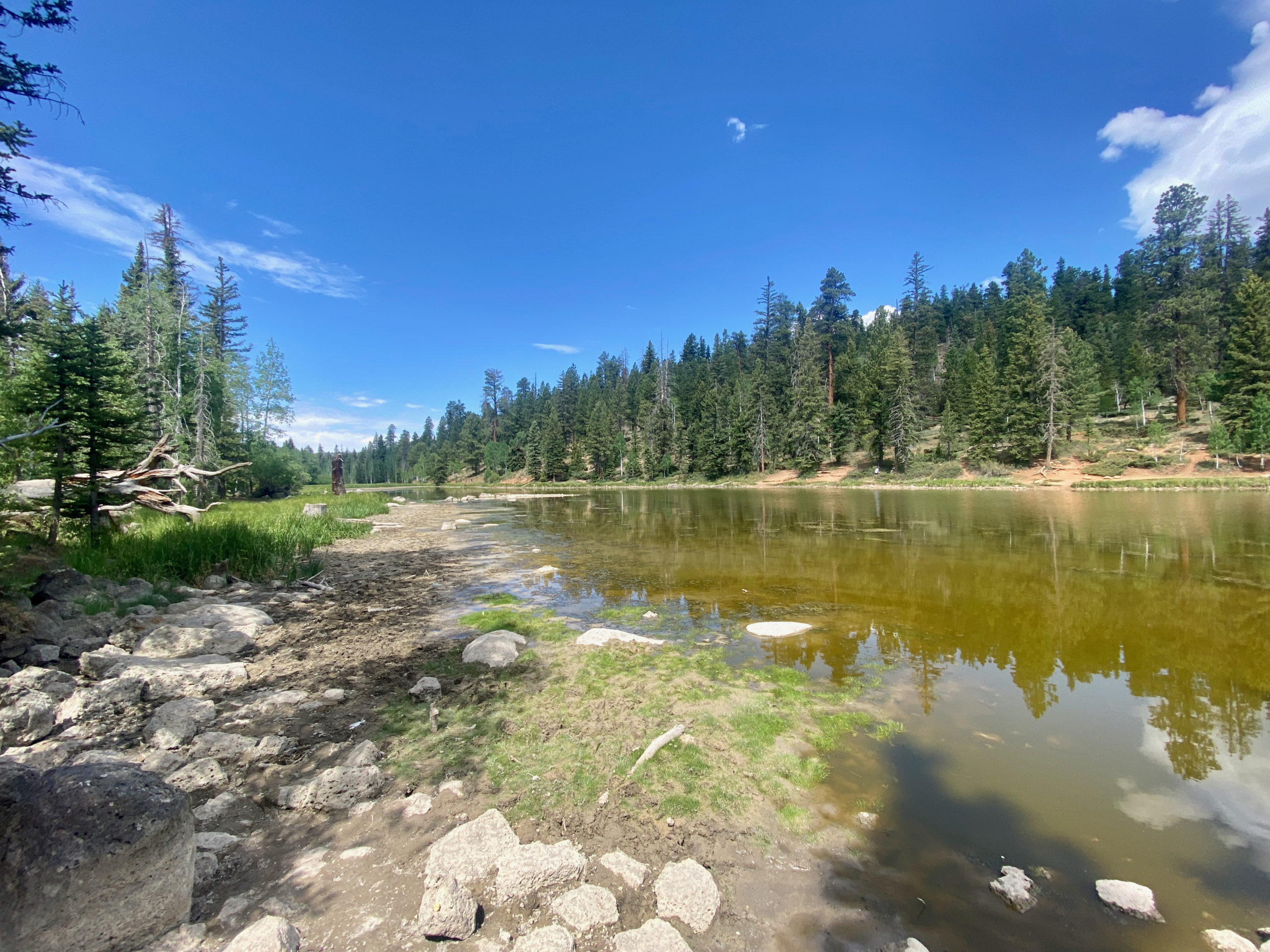
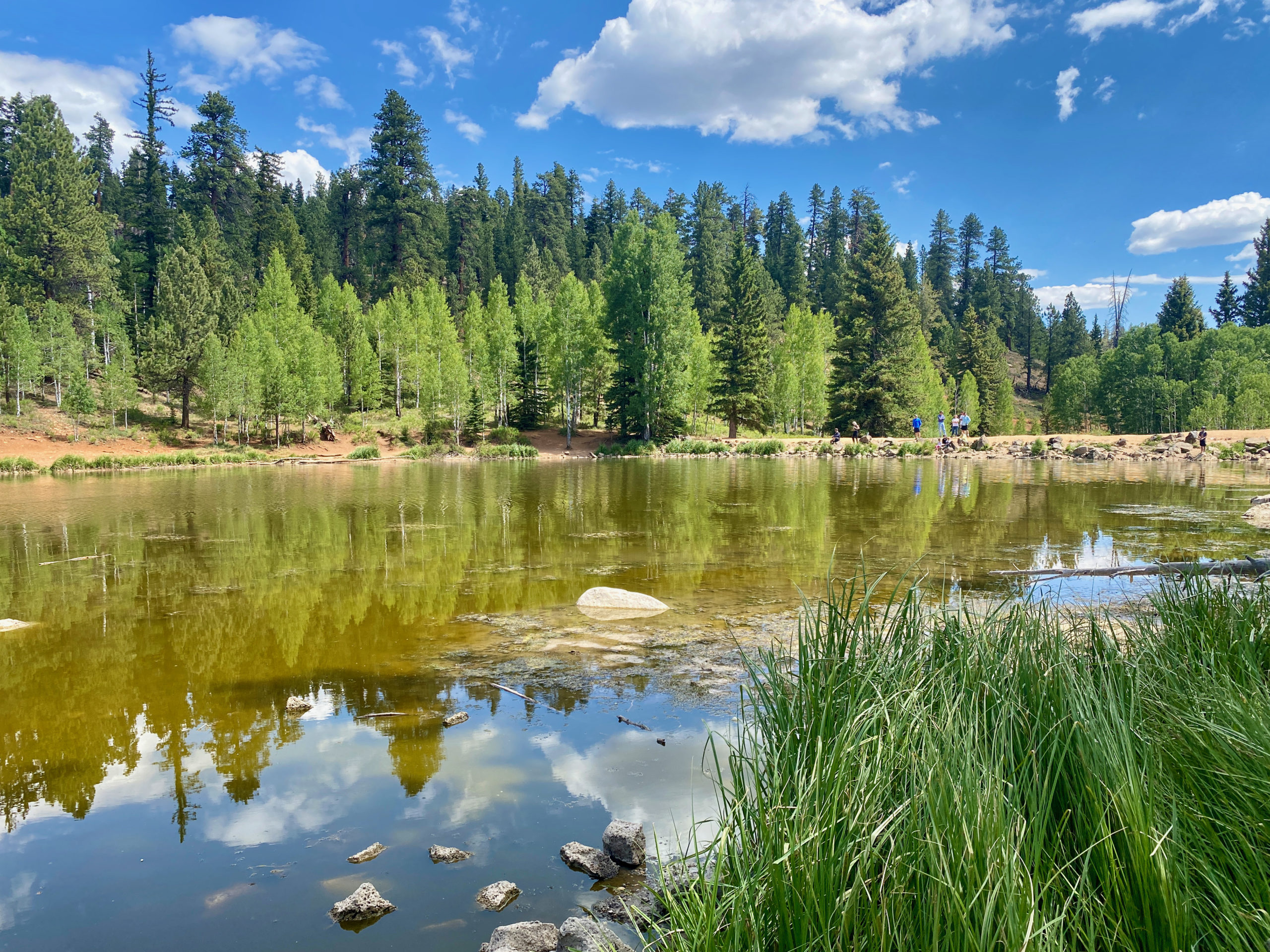
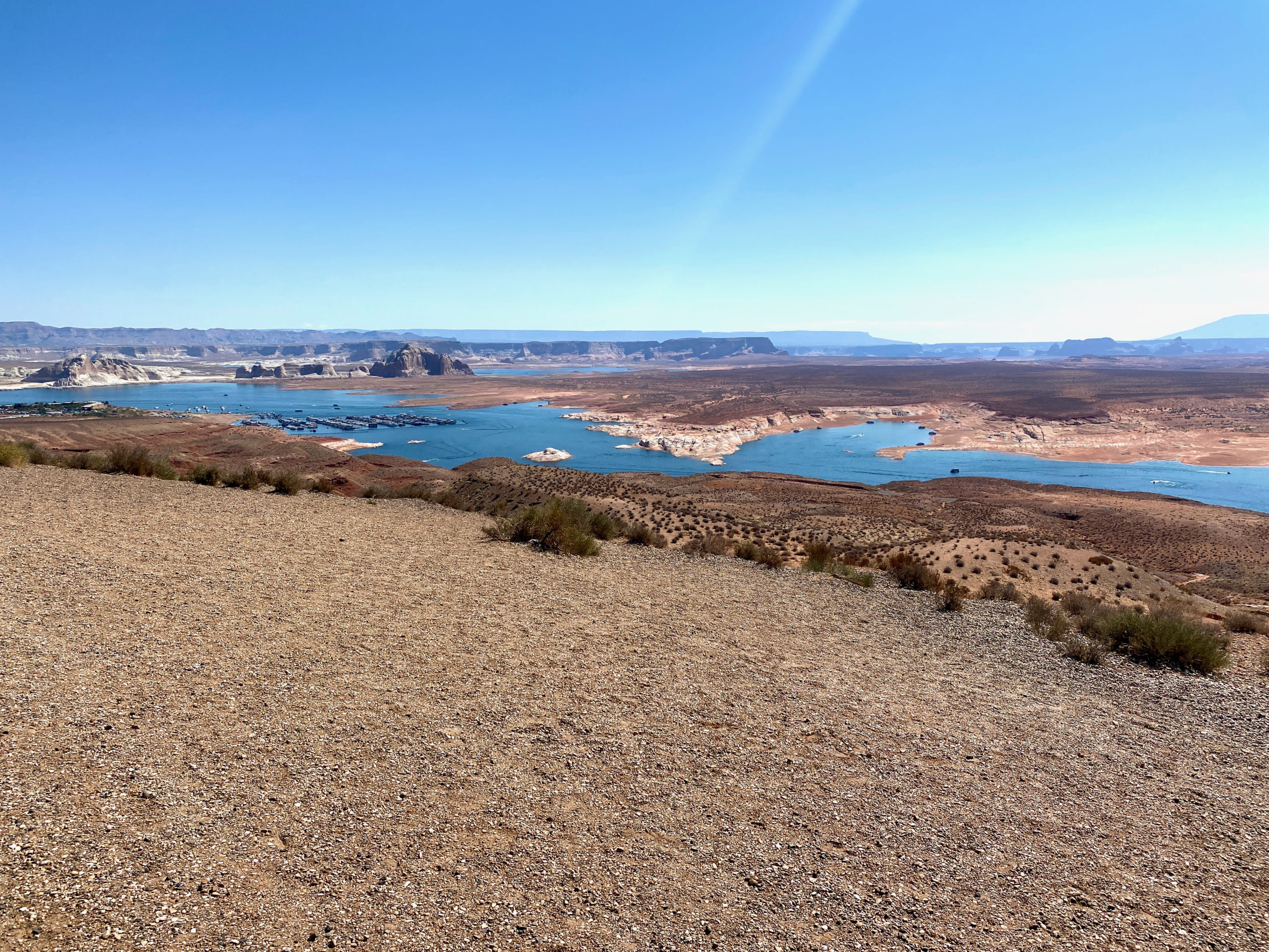
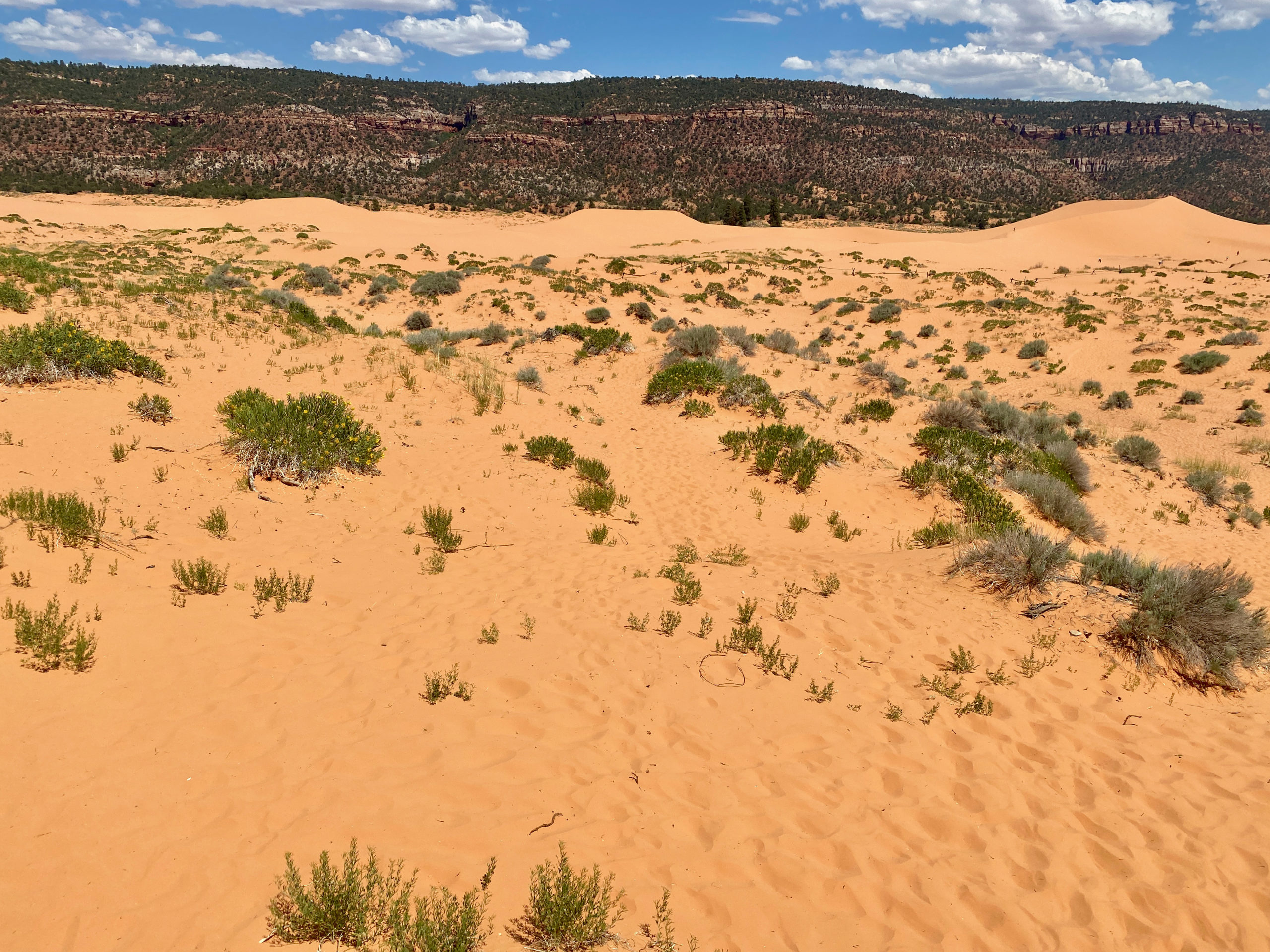
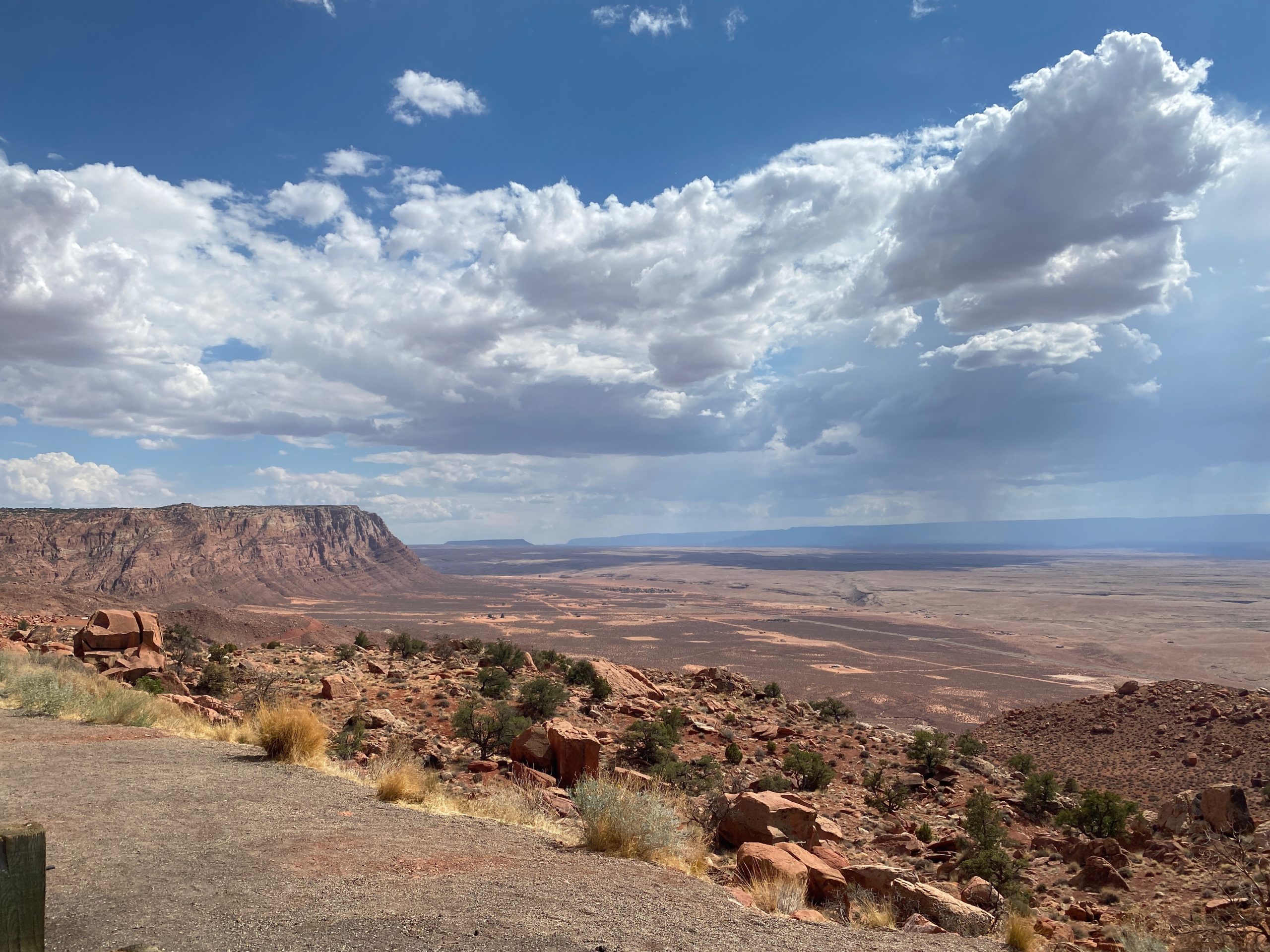
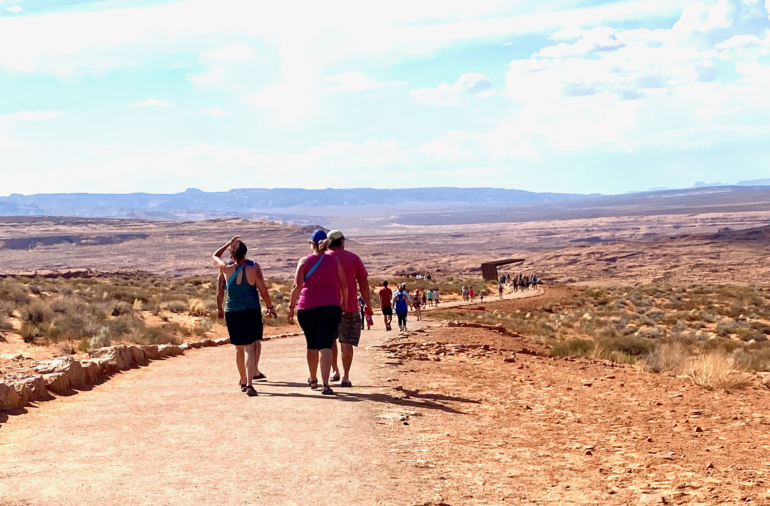
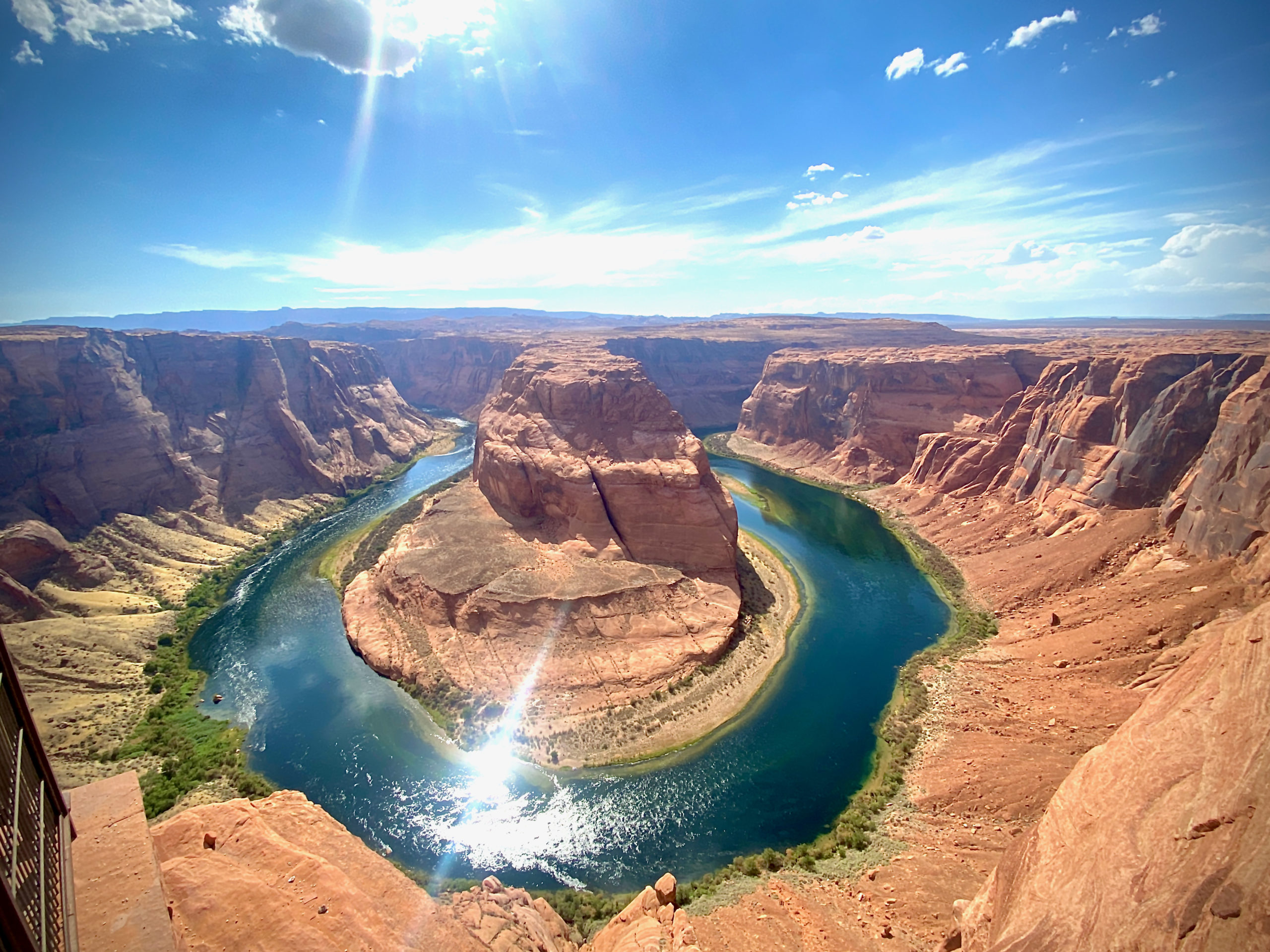
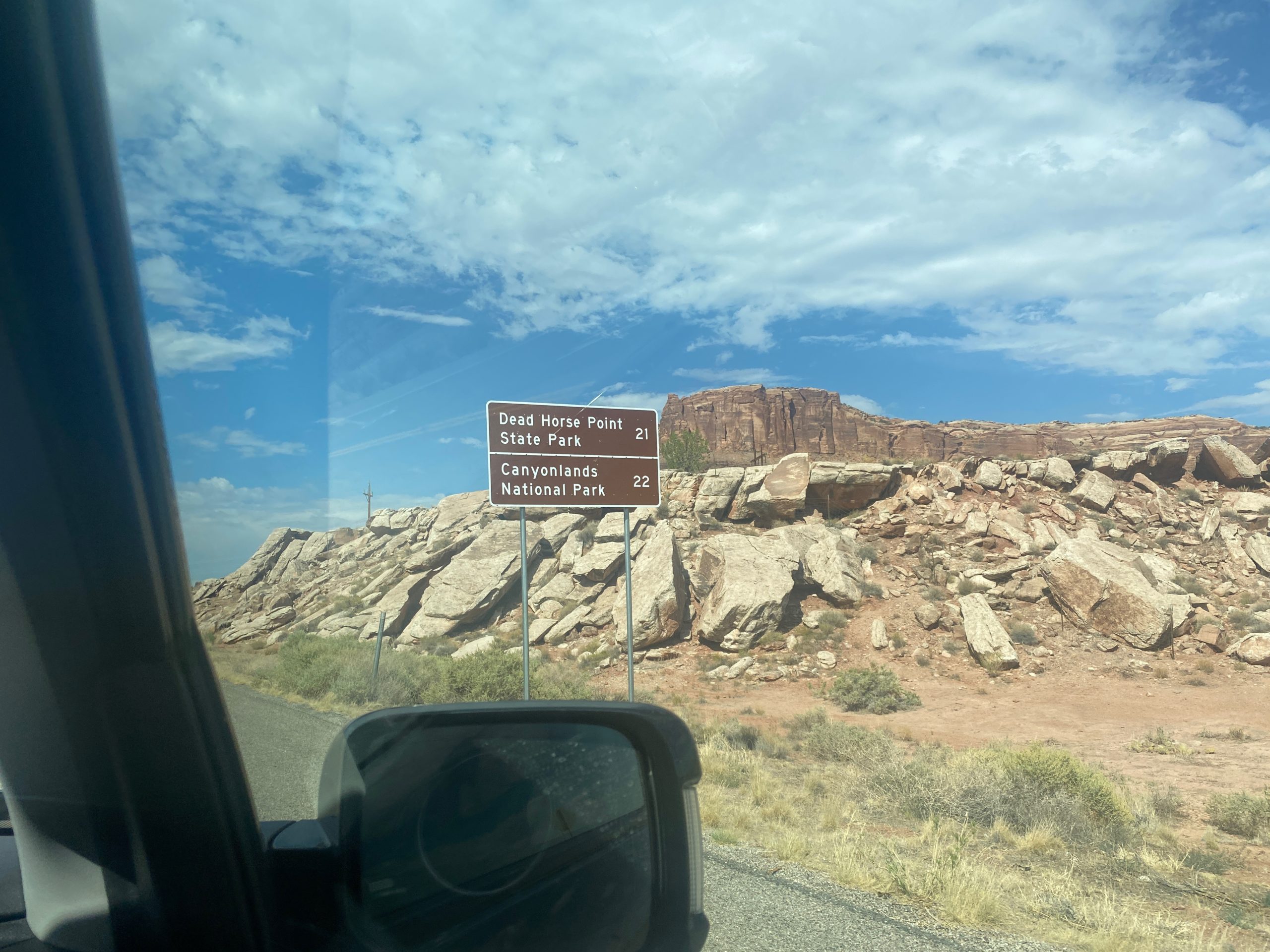
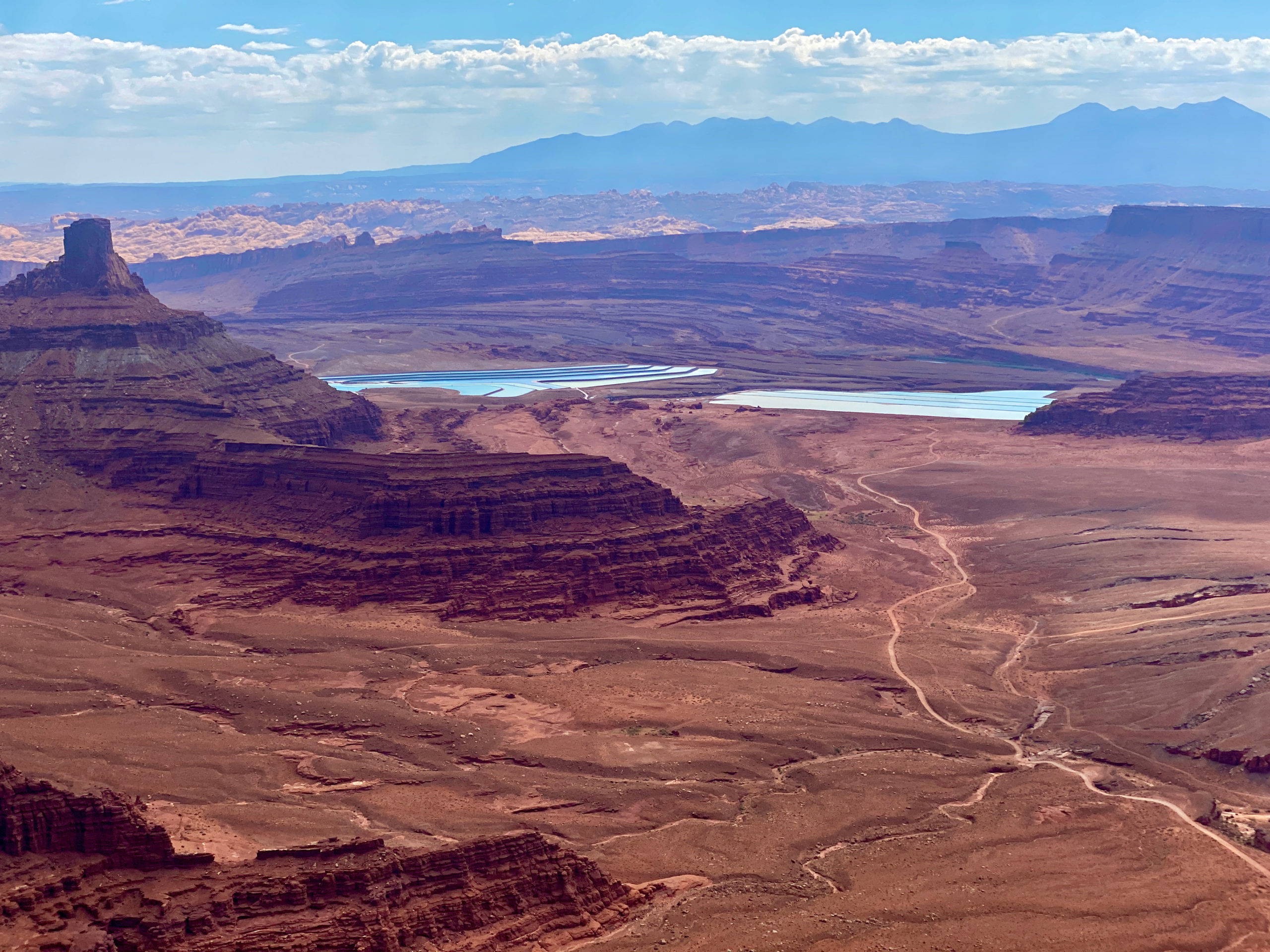
We continued on to Dead Horse Point State Park, where we literally paid $20 to see a lookout. ha BUT… it was a cool lookout. It supposedly got its name because a bunch of cowboys rounded up wild mustangs onto this section of cliff because there was a narrow 90 foot neck and surrounded by canyon drop off after so they could corral the horses. Supposedly, they selected the horses they wanted, then left the rest to die there with no water. This is just legend as far as I know..but it explains the name.

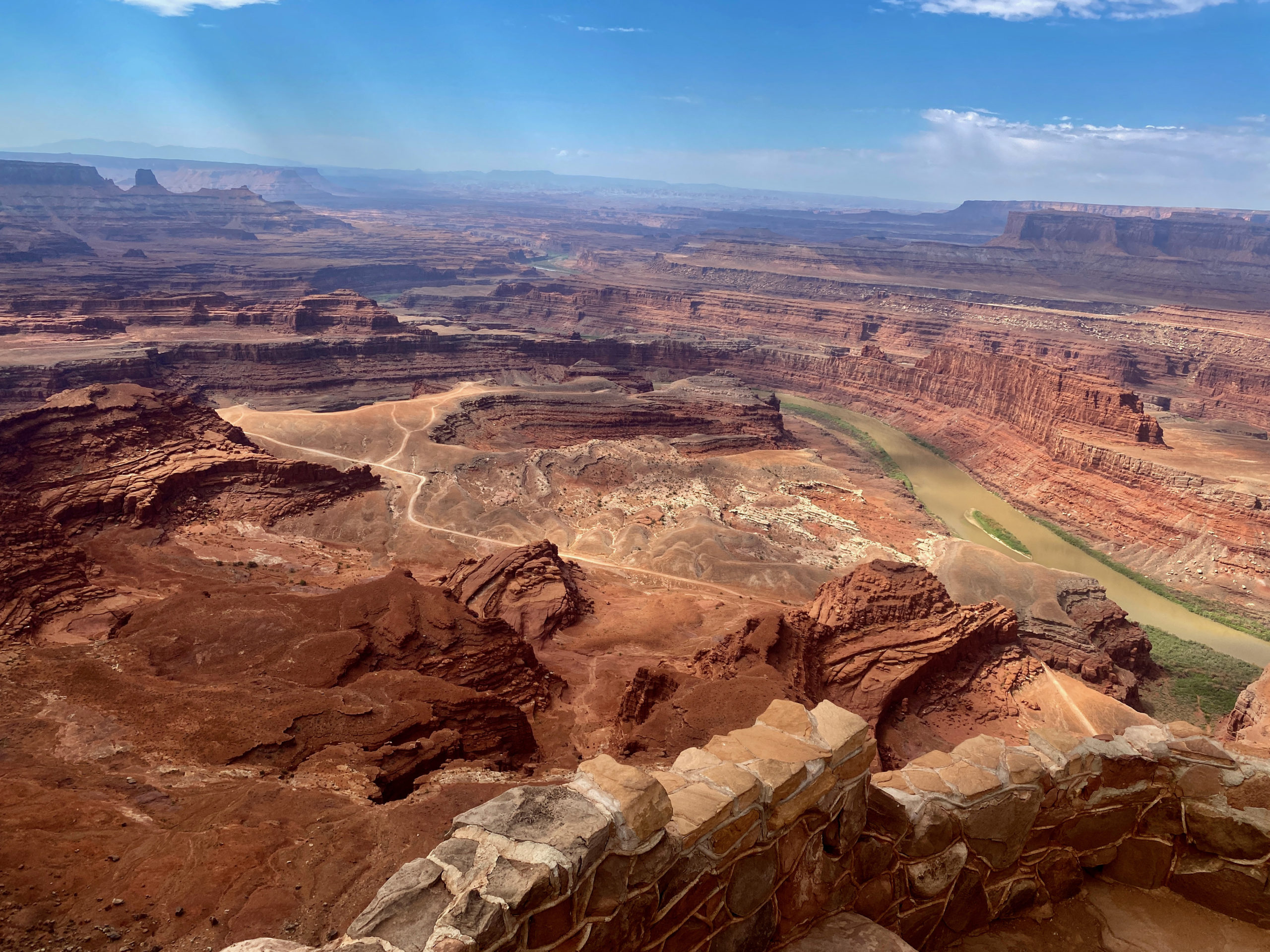
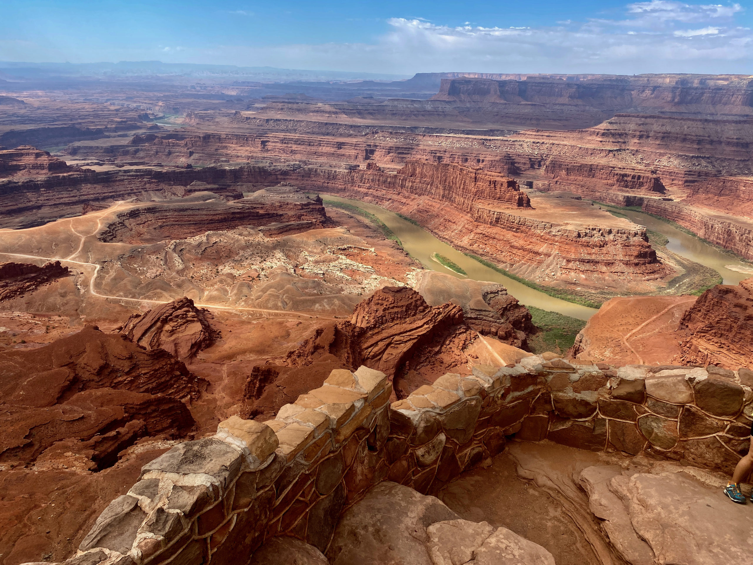
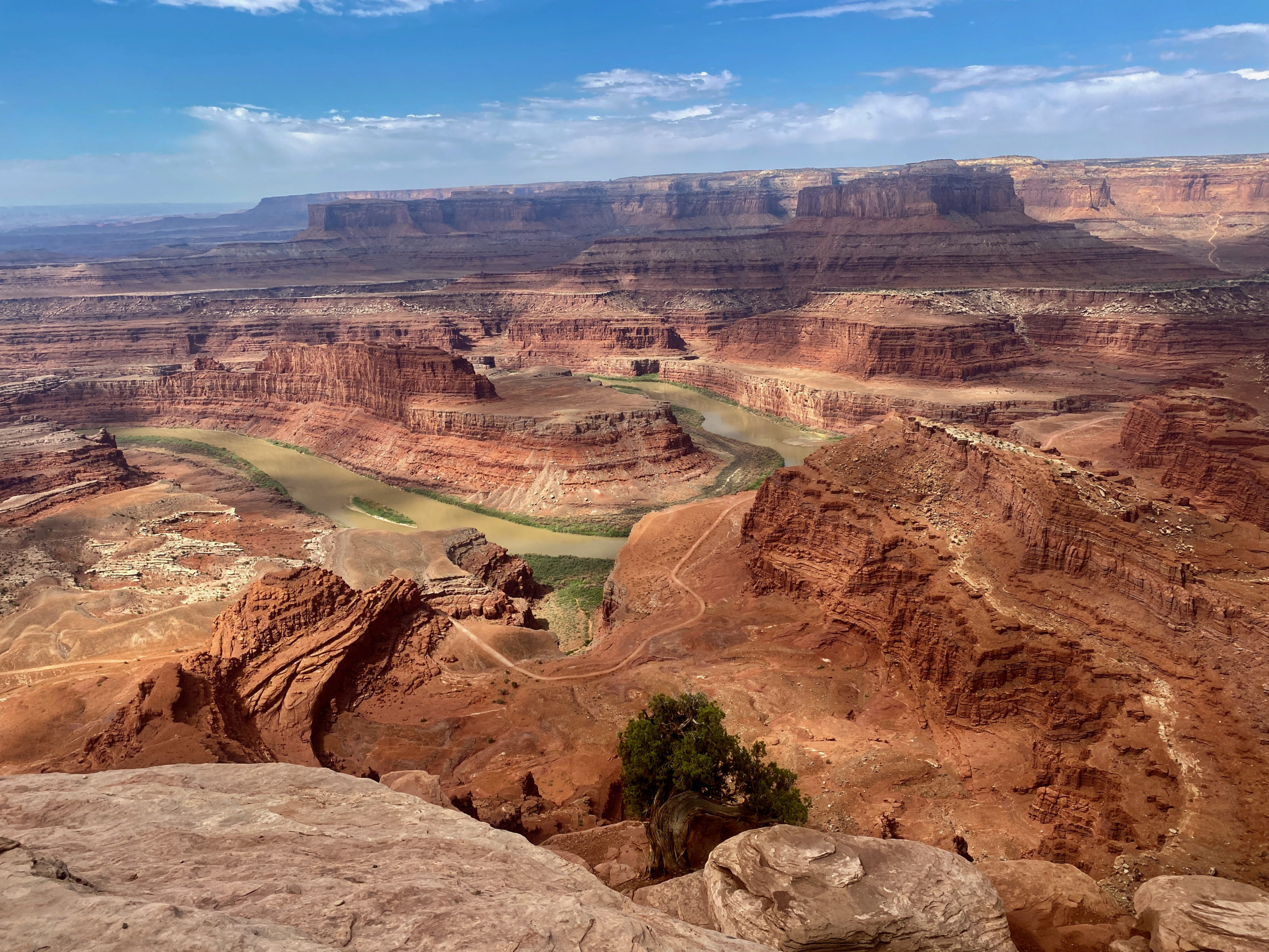
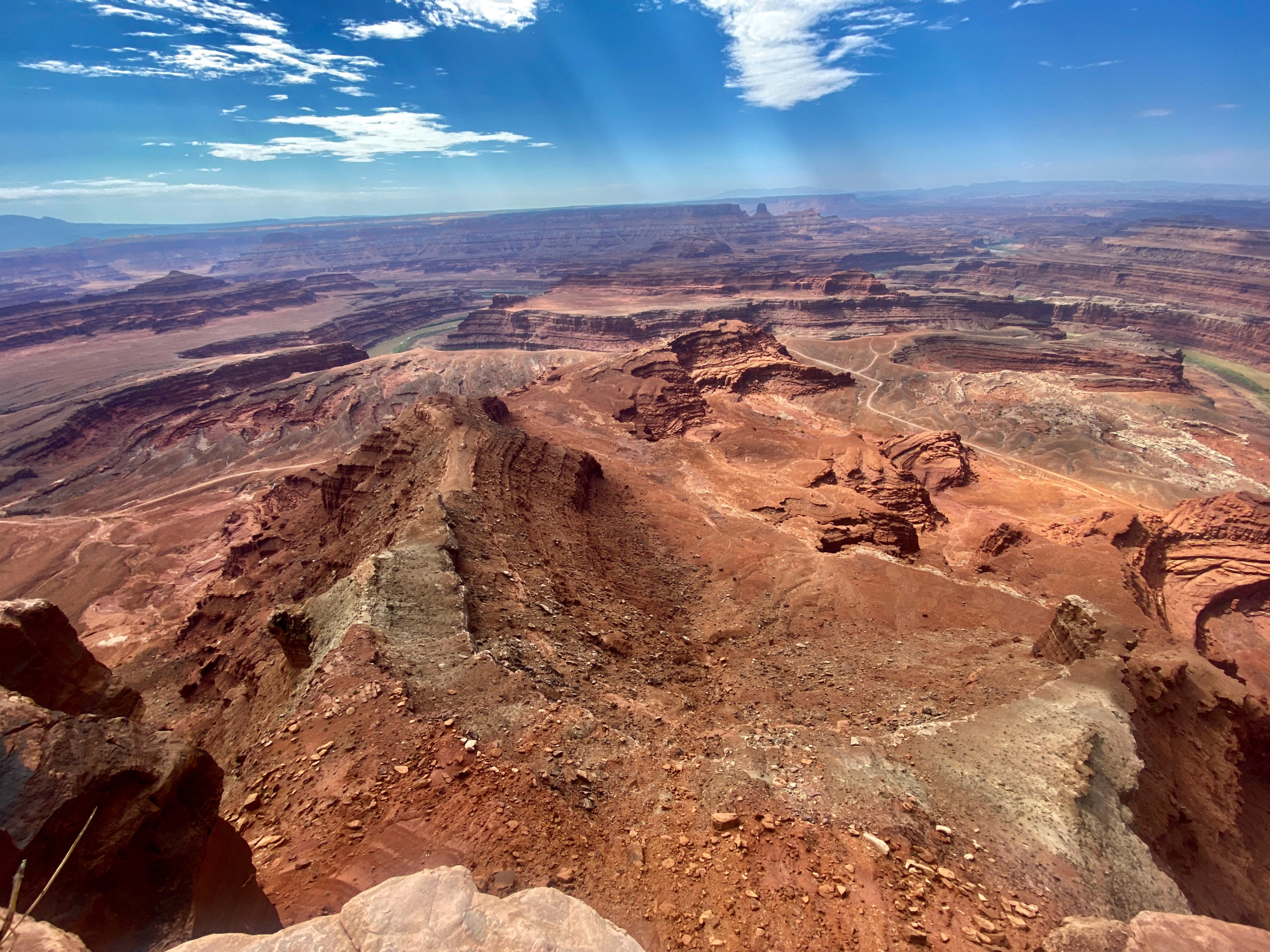
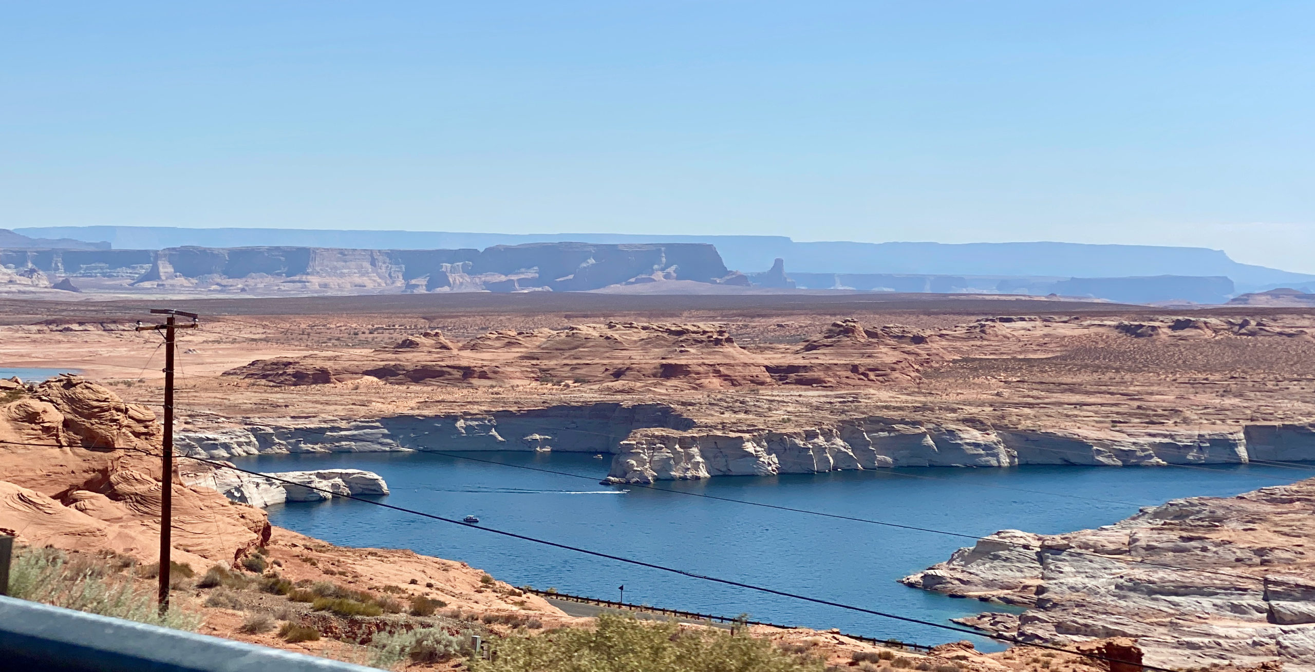
You could see potash ponds from here as well. Potash is mined from deep underground, pumped up with colorado river water, then held in these bright blue dyed ponds that speed crystallization and evaporation in the desert heat and sun to make fertilizer. They look pretty 🙂

Whale Rock. It sort of looks like a whale. ha It’s deceiving how big this actually is. There were tiny little specks of people walking on the top of it as we passed.
This was an overlook in Canyonlands into The Maze.
We got out at Mesa Arch to walk back to it and the crows were even too hot today. ha Walking around with their mouths open to cool down. I feel ya, crows. I feel ya.
Mesa Arch

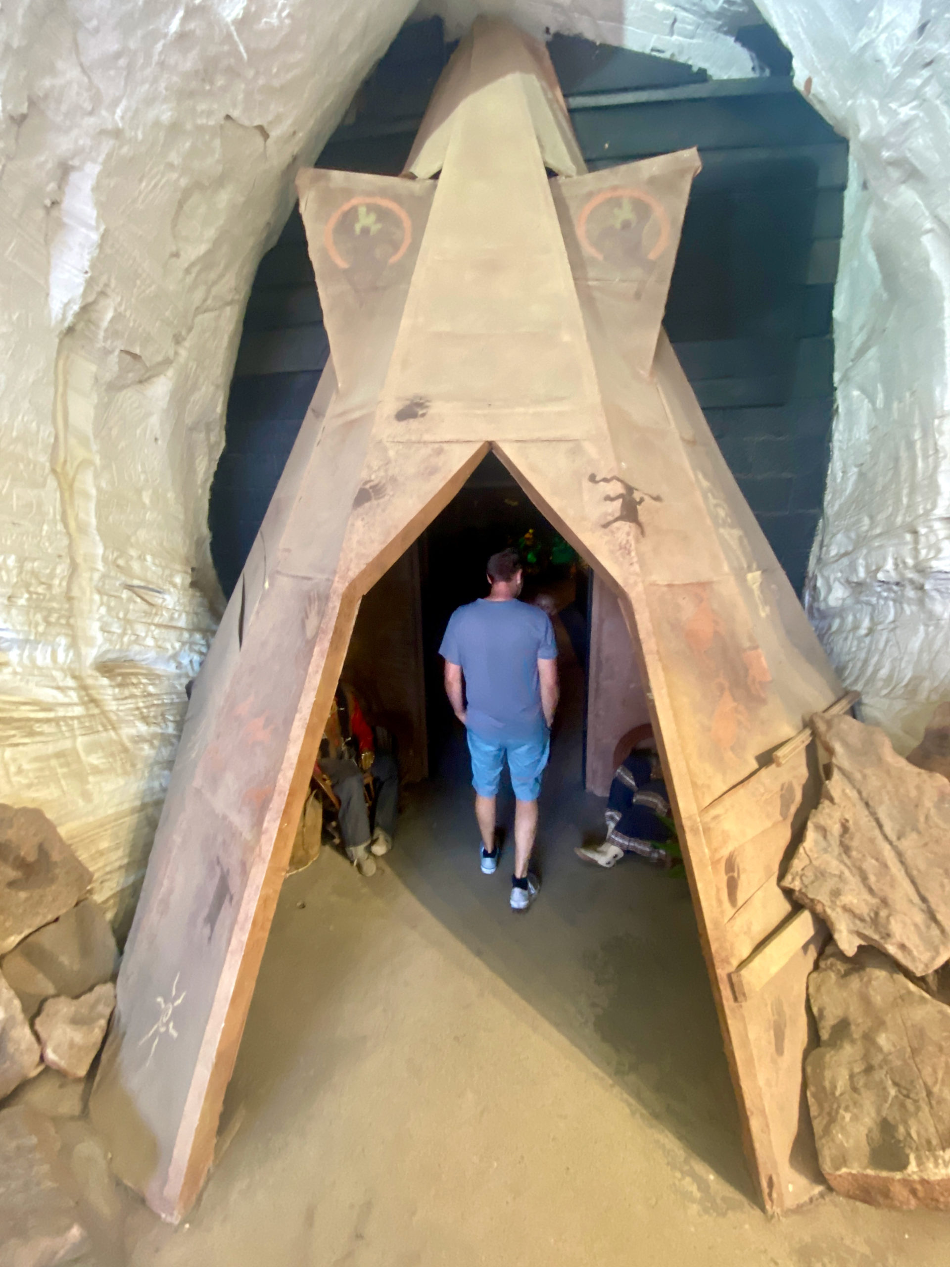
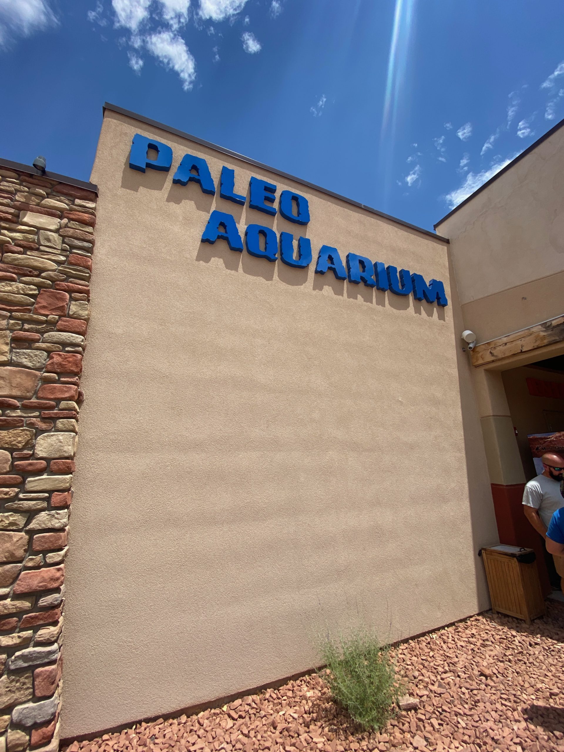
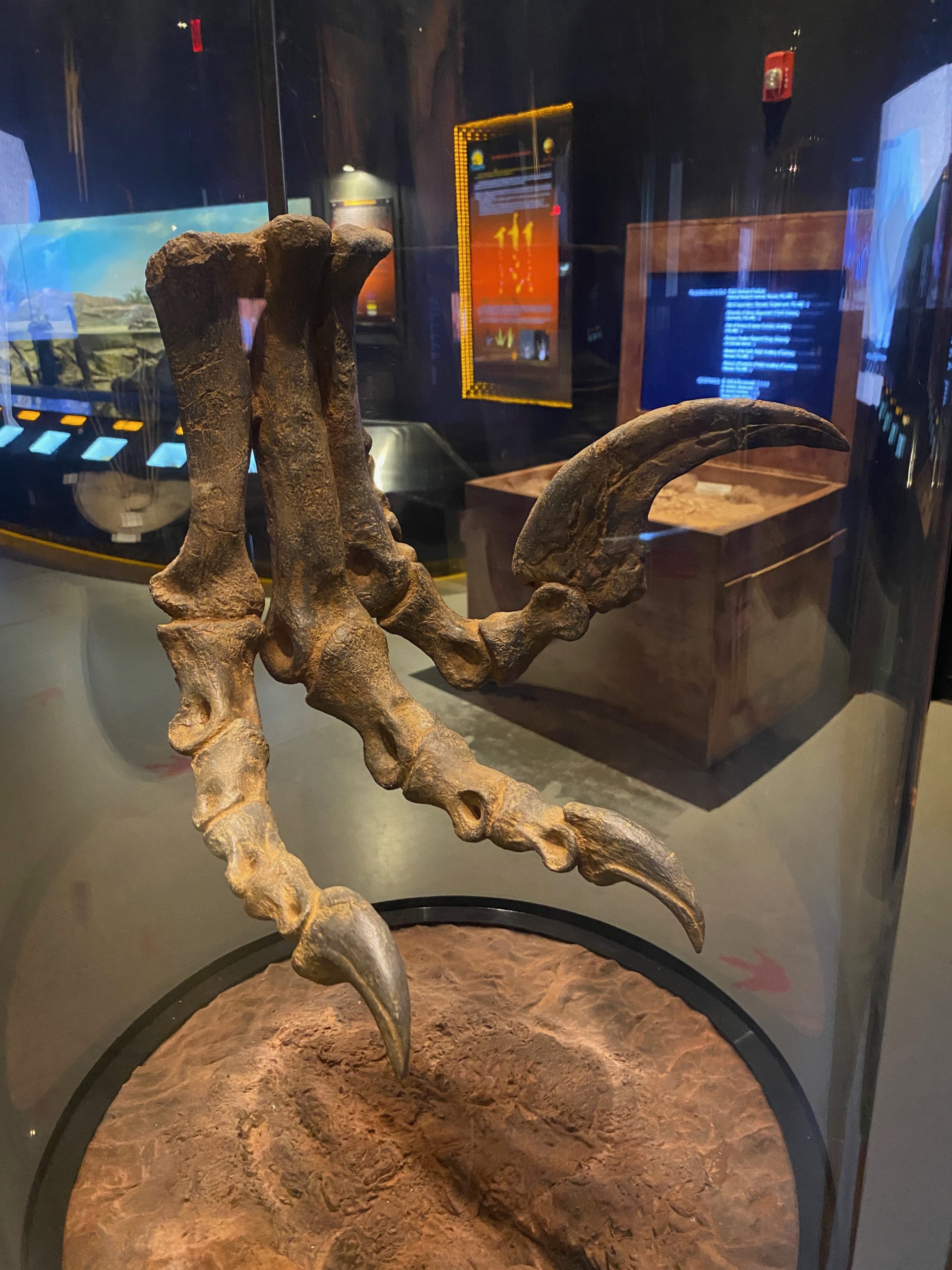
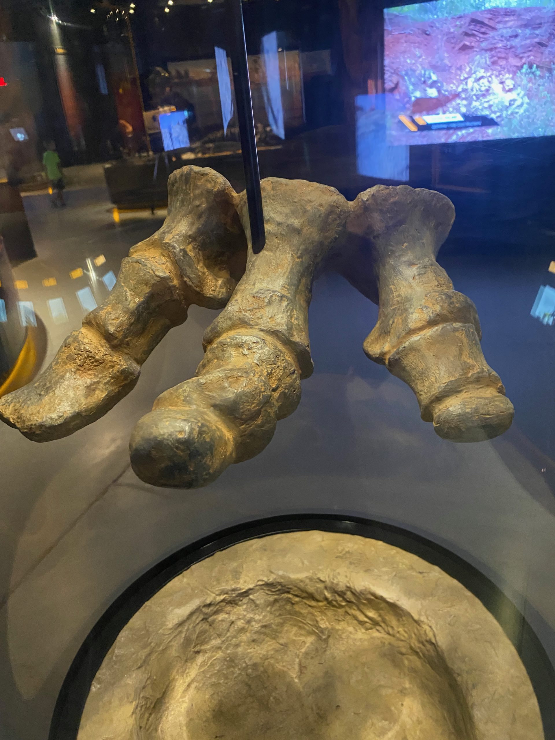
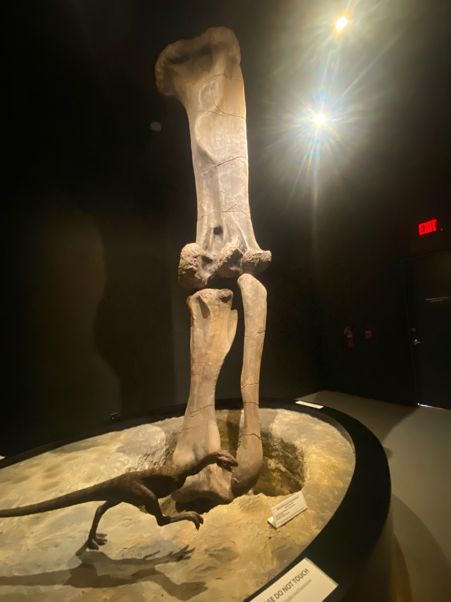
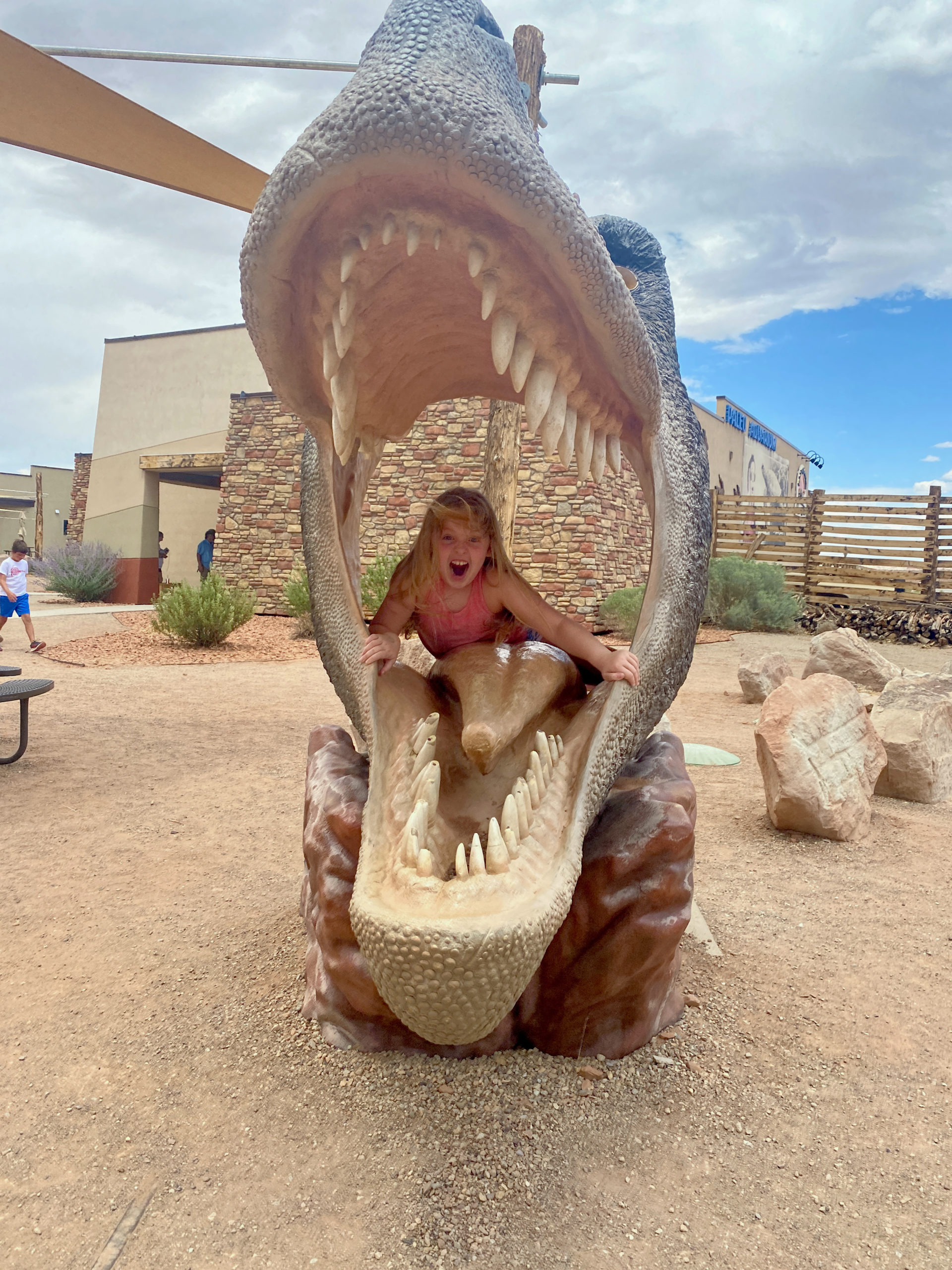
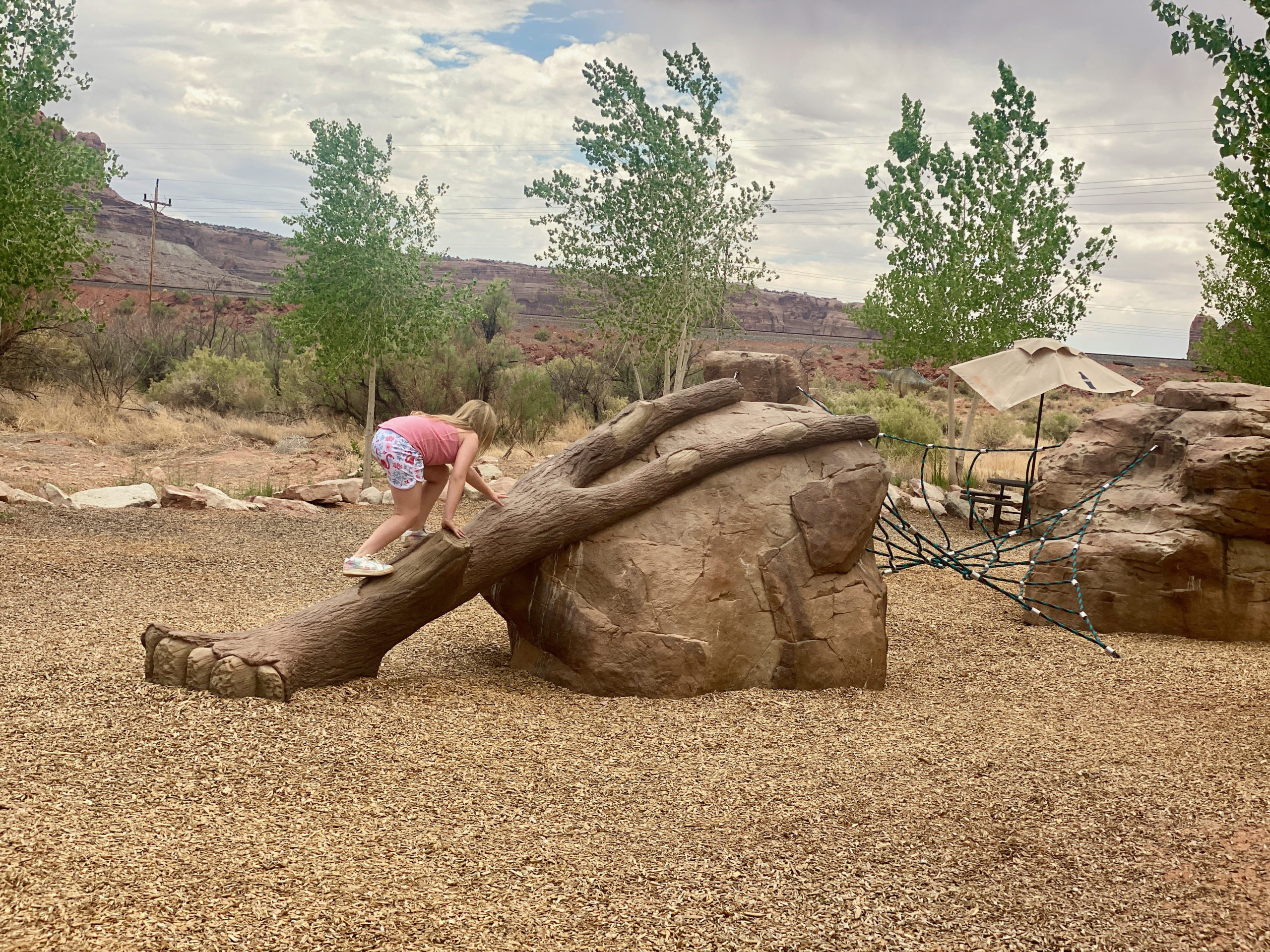
Next we had more time to kill before we could get into Arches because as we went by in the morning the signs outside said “Park full, please turn around”…so we went to a place called Moab Giants that I really didn’t know anything about.

If you had small children who were REALLY into dinosaurs, it may have been worth it. But it was a pretty lame excuse for a museum, theatre, aquarium, etc…and it was NOT cheap. I think it was like $130 for all 3 of us…and we were done with everything in 1.5 hours. and when we went to the cafe, which was fairly empty to get Norah some dino nuggets for lunch, they told us it would be 50 minutes for food. ha for frozen dino nuggets. no thanks.

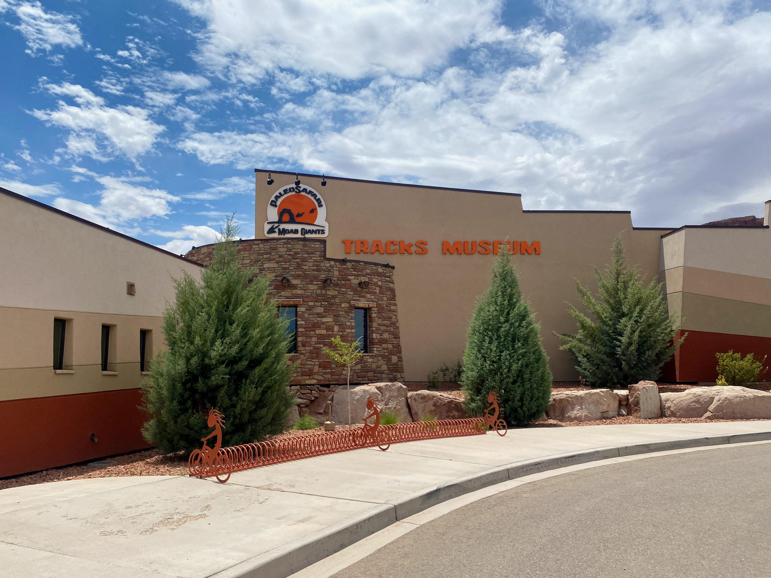
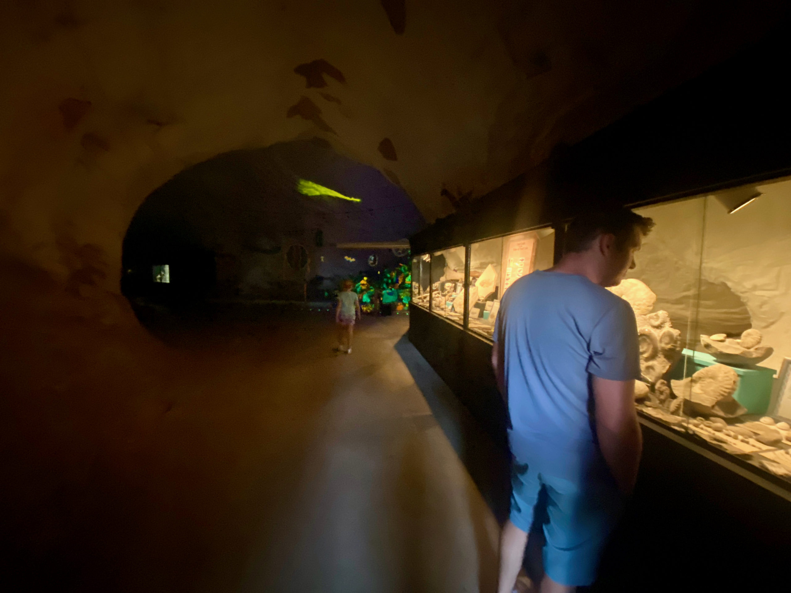
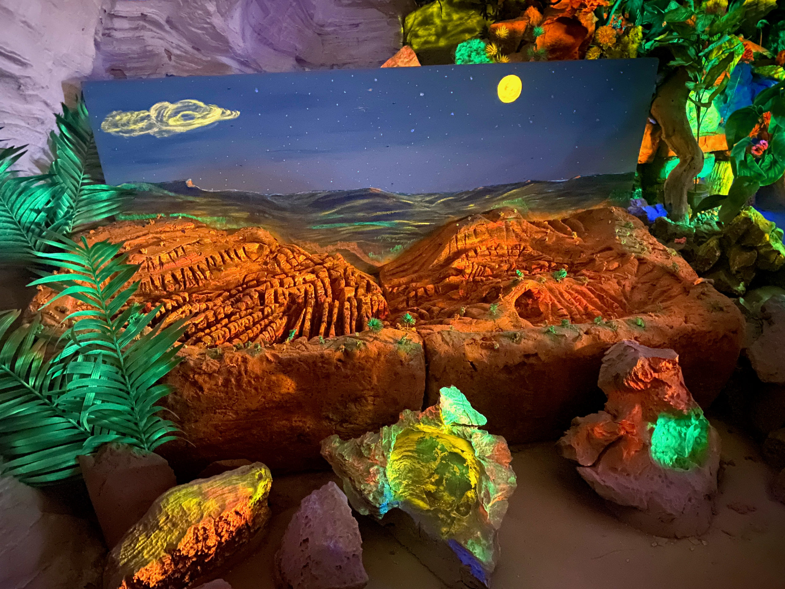
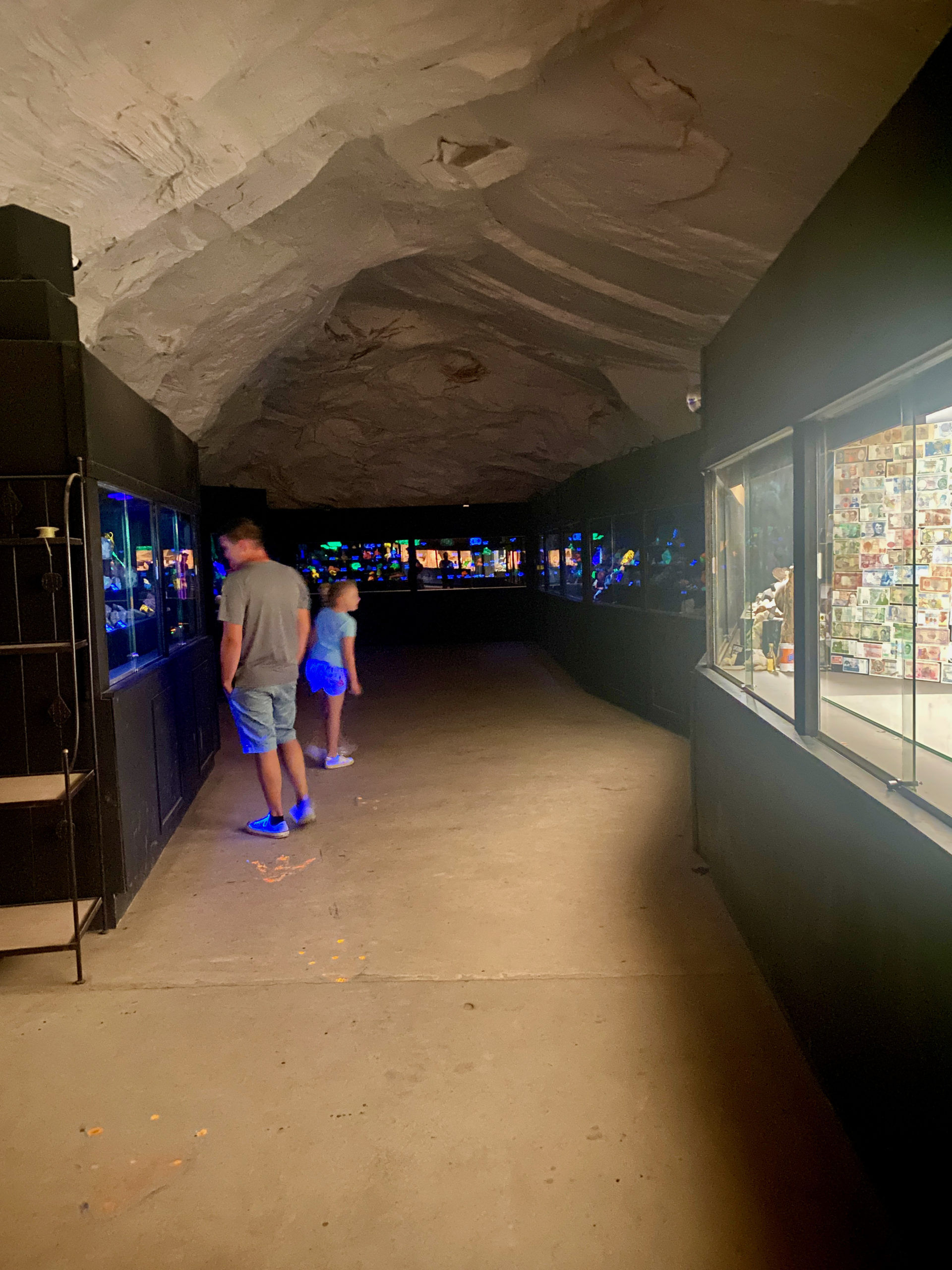
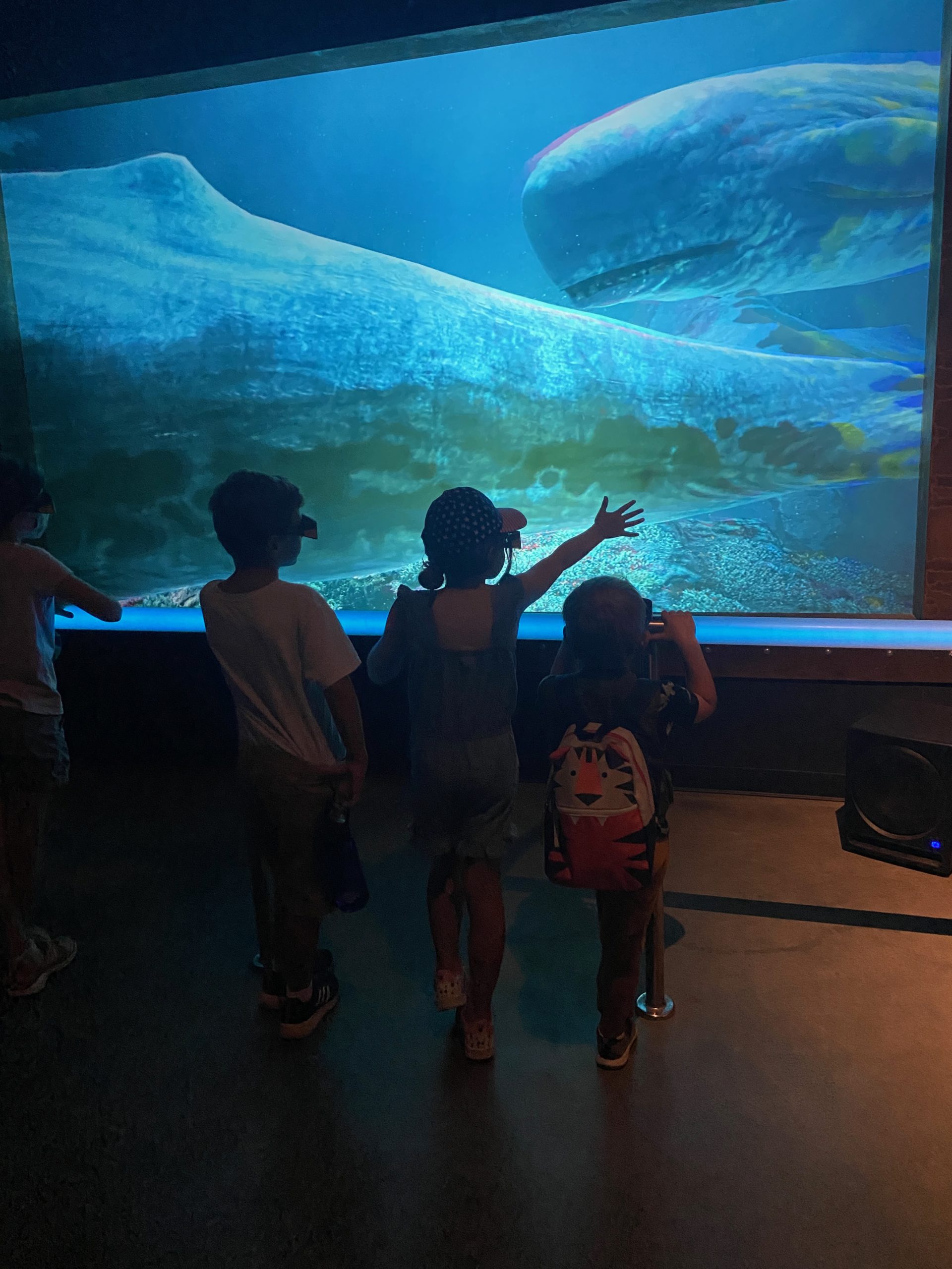
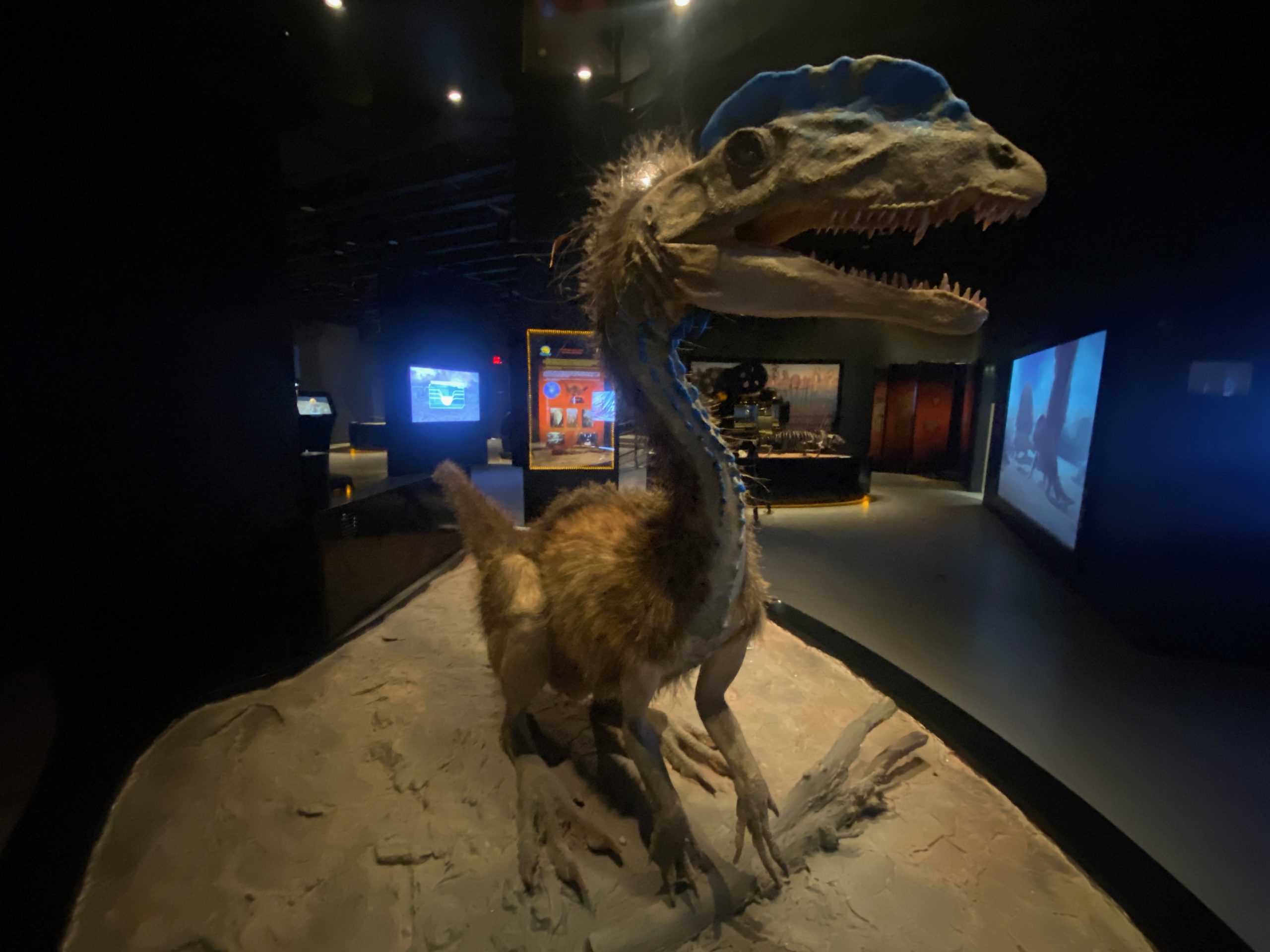
The coolest part was this Paleo Aquarium they had. I assumed it was a real aquarium with some sort of fish that were really old species or something… but it was a VIRTUAL 3D aquarium, but set up like a real walk through aquarium… so that was super fun, but we had some mumbly old man guide that you couldn’t understand and about 15 screeching toddlers and children who were old enough to know better. ha

We walked past about 12 different “tank” viewing windows that showed whales, and some ocean dinosaur species and the video was so well done you really did forget for a bit these weren’t real animals you were watching! ha

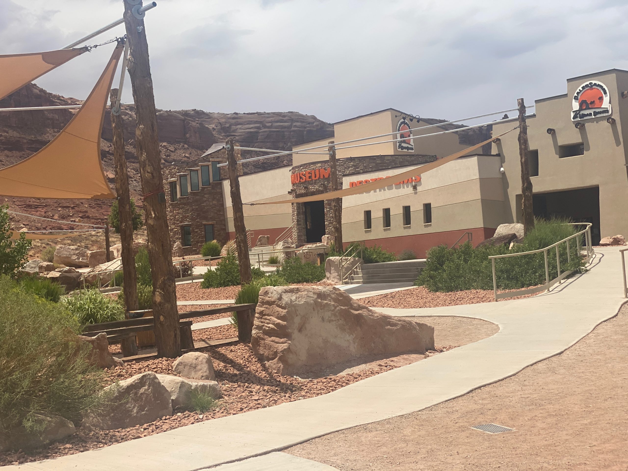
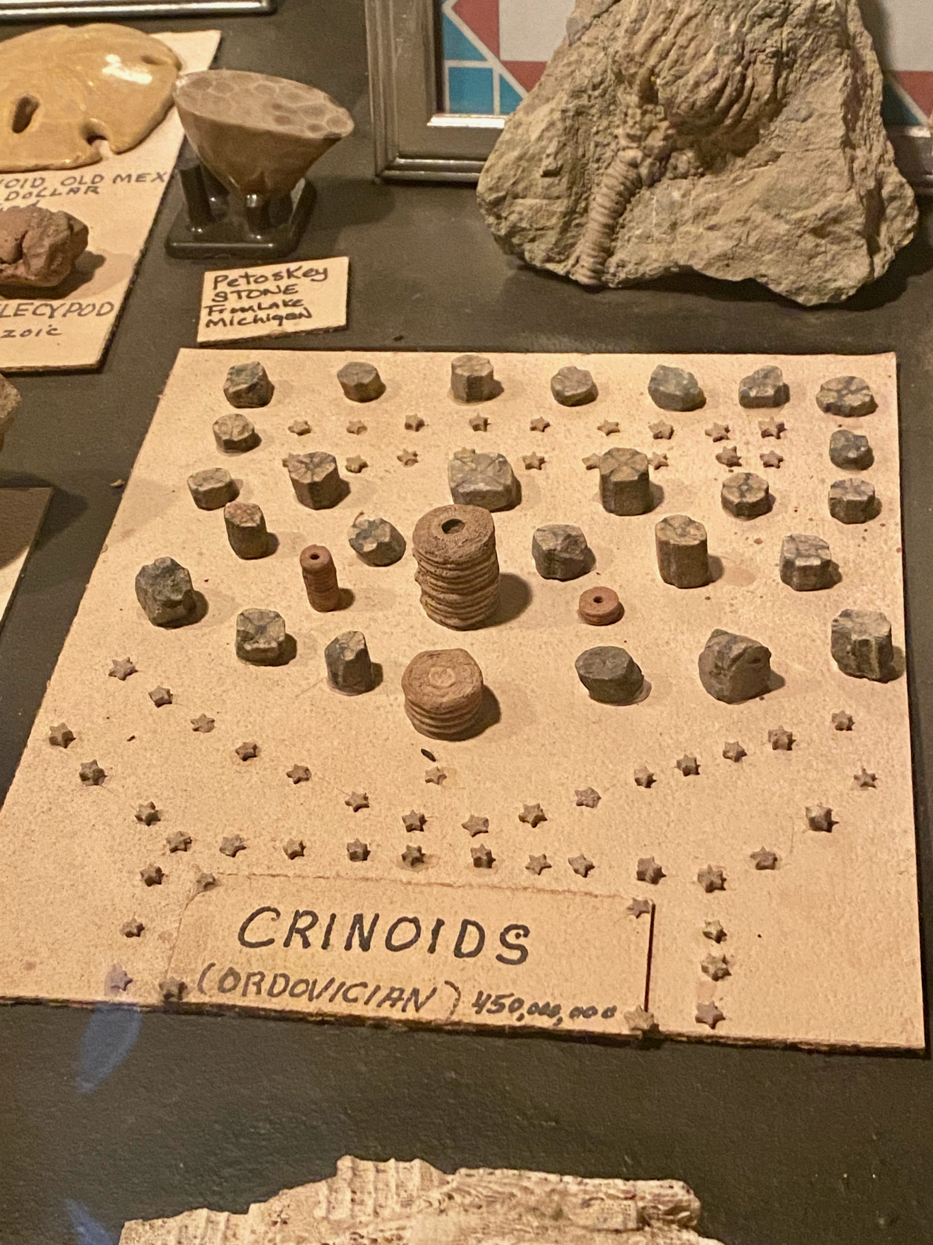
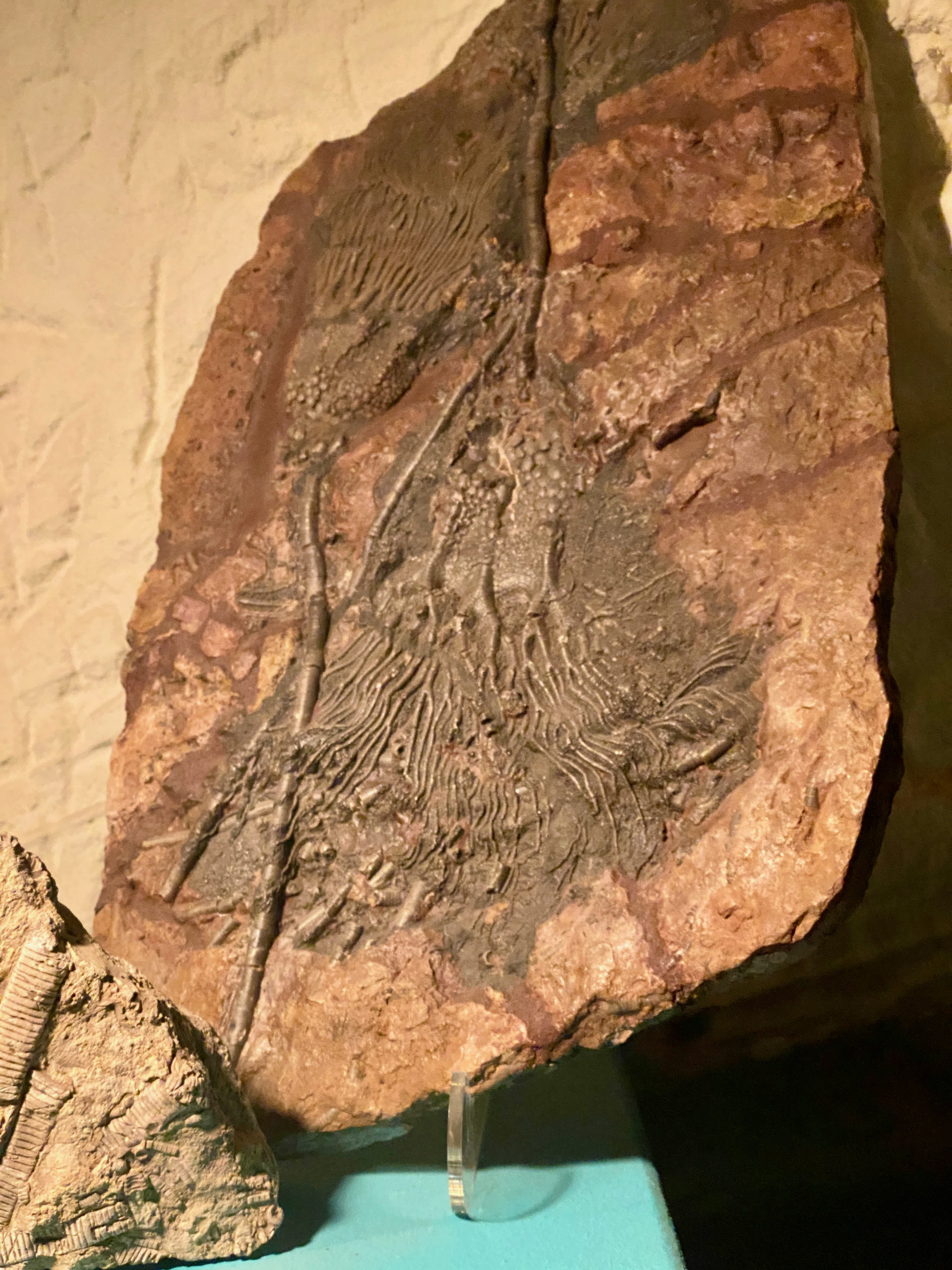
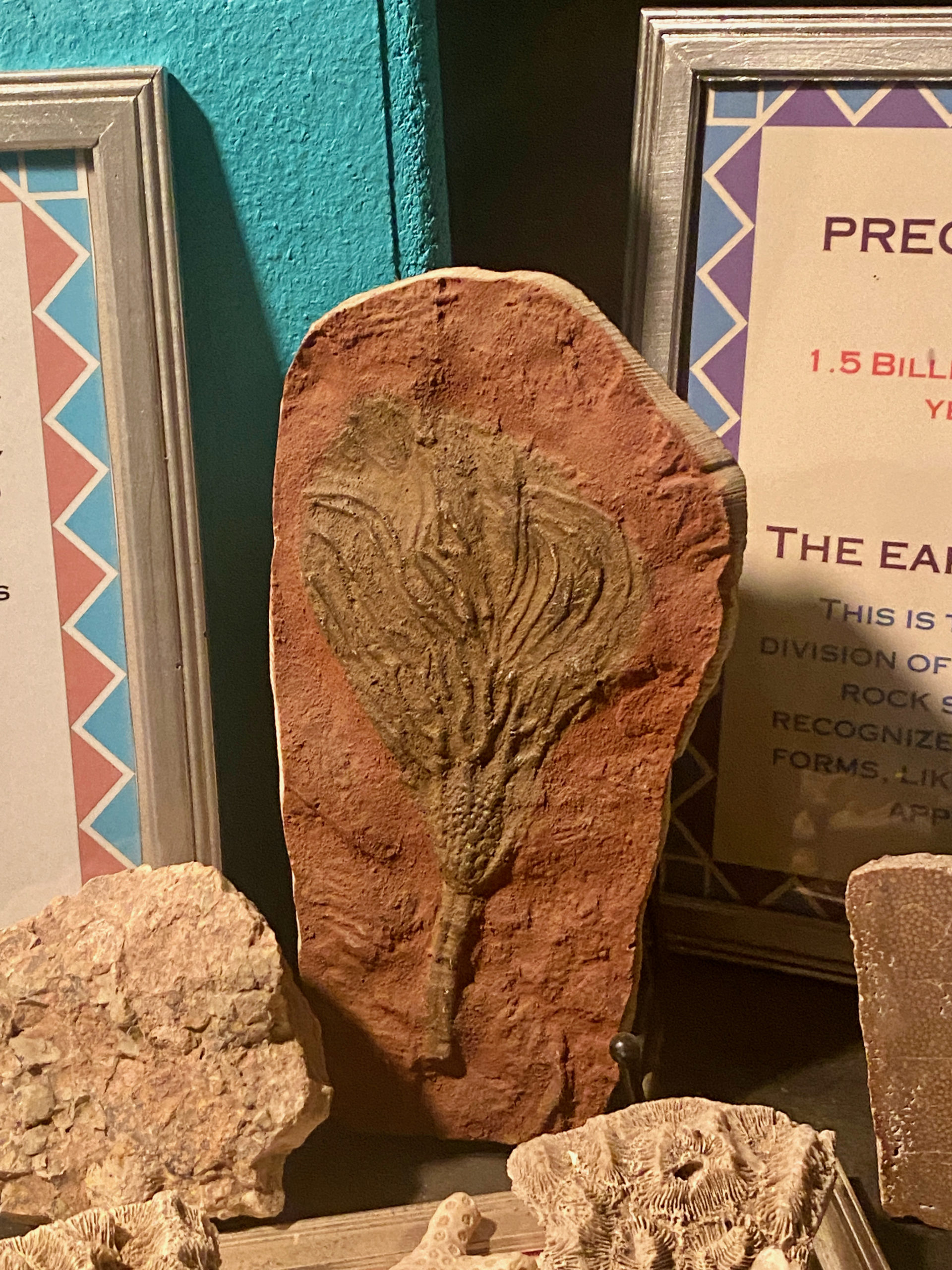
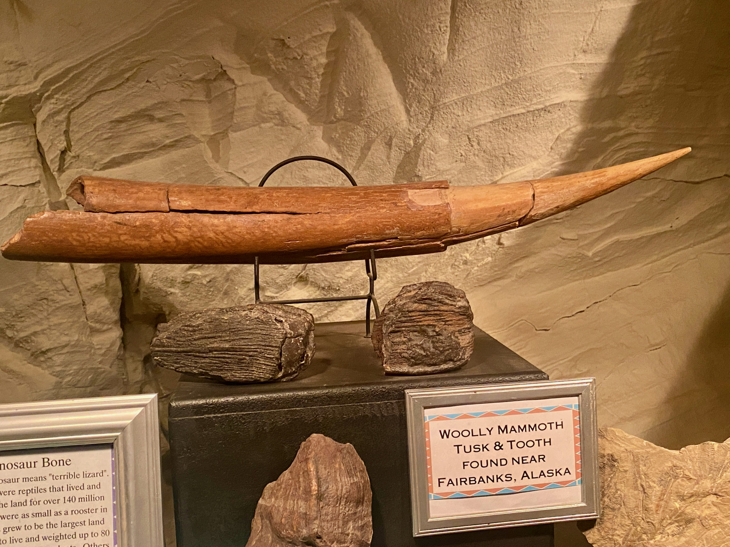
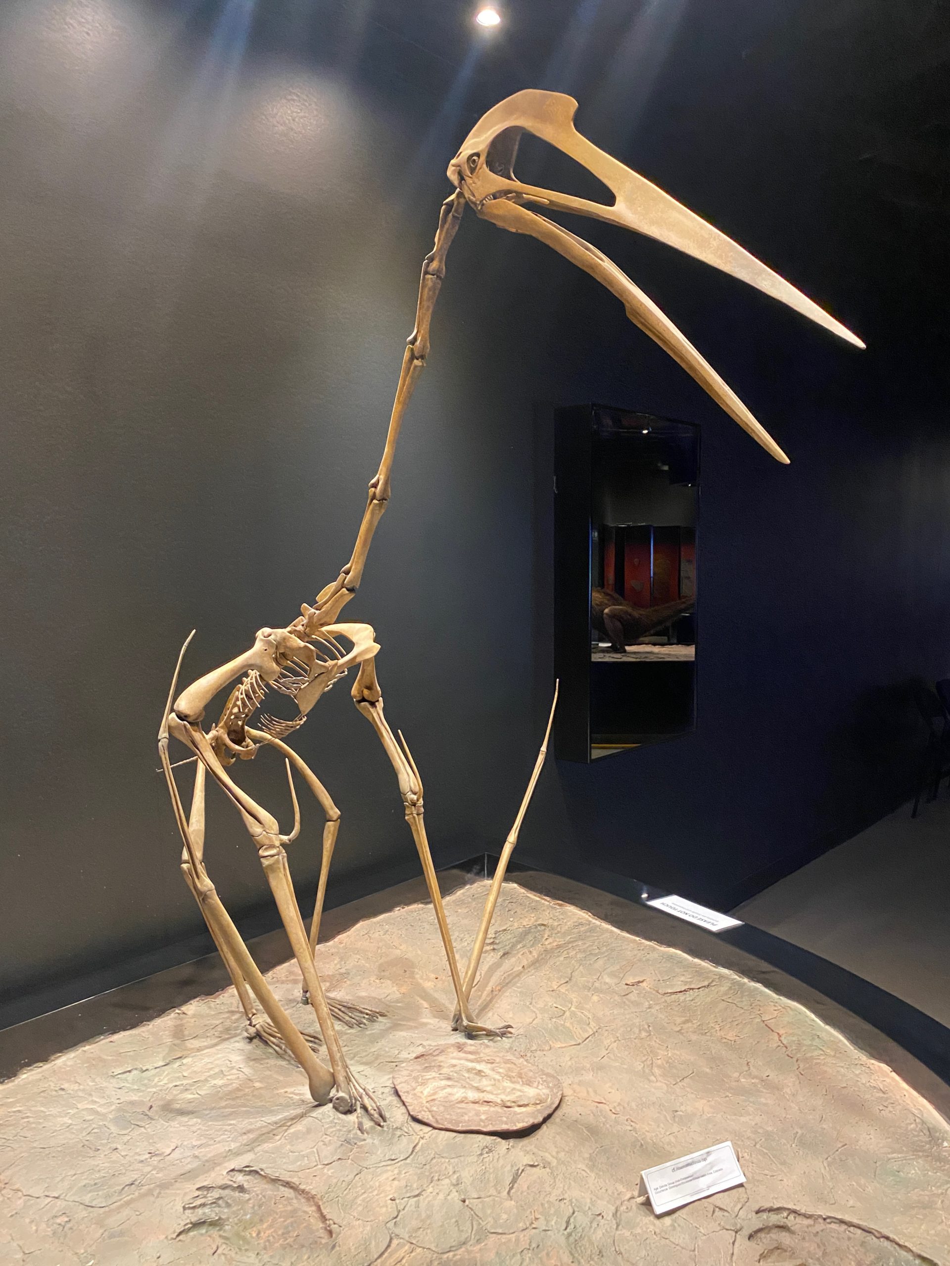
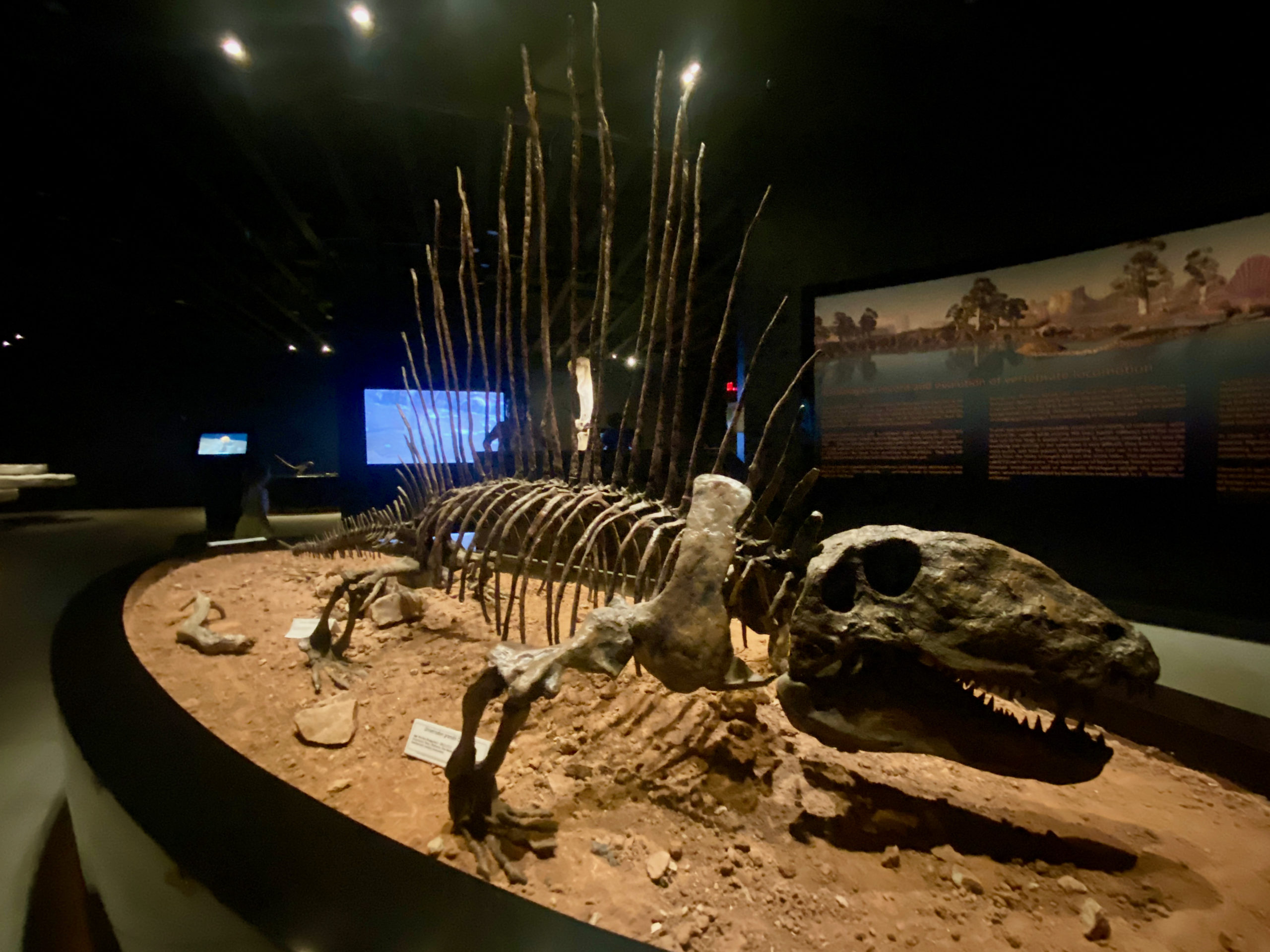
Their museum section was tiny, but it did have some fossil skeletons and a a few good exhibits.

Outside in the middle they had a dinosaur playground and a walk through dinosaur trail with models of dinosaurs.

So, overall review was- if you don’t have small kids that are dino obsessed, probably not worth it. If you do, probably will be the time of their life. Just order your dino nugget lunch ahead of time 🙂

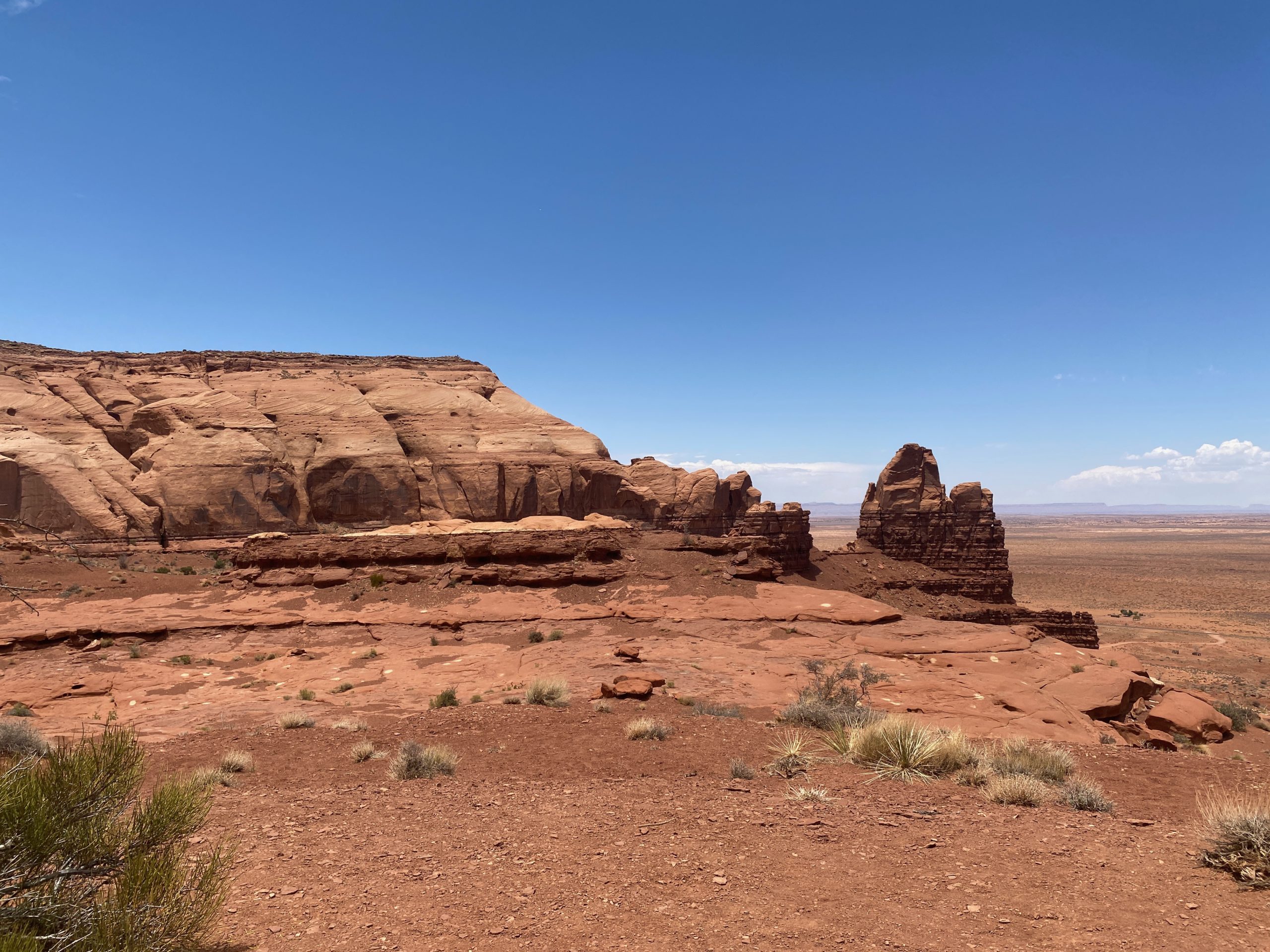
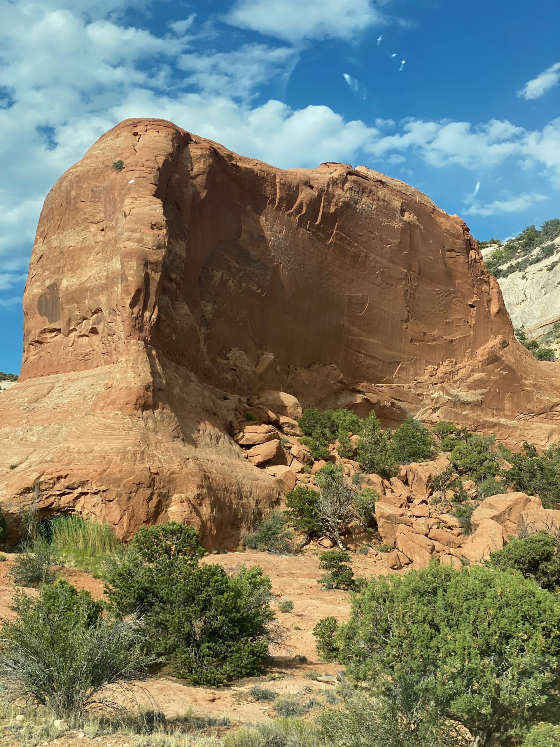
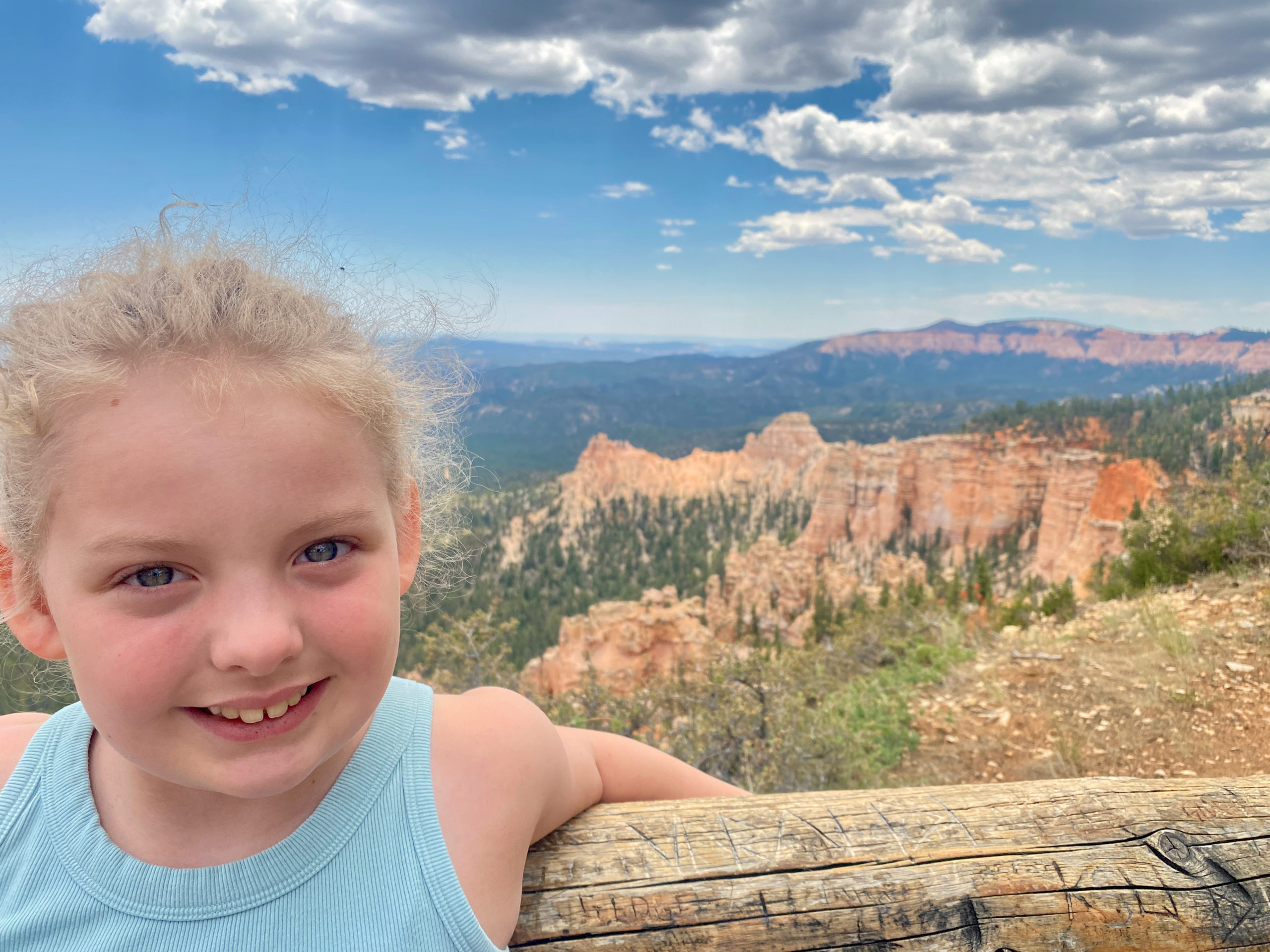
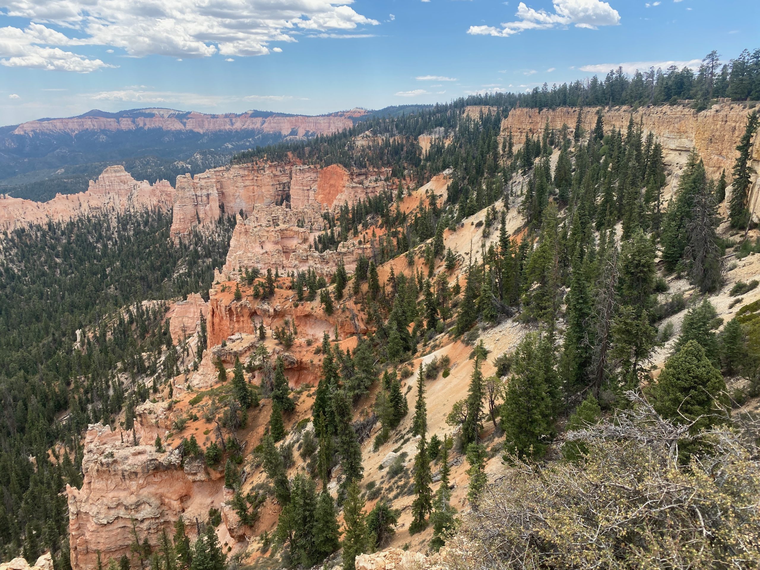
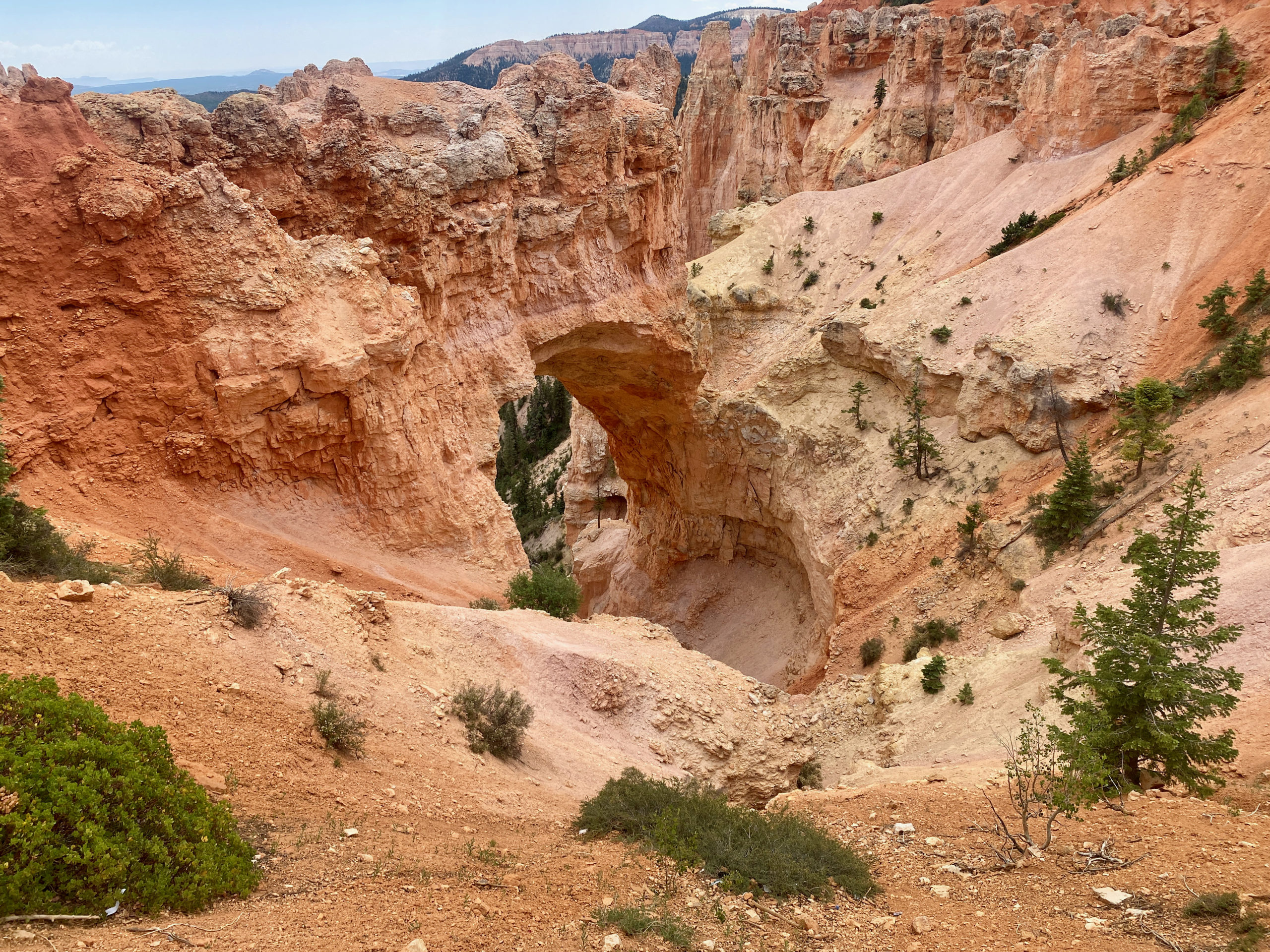
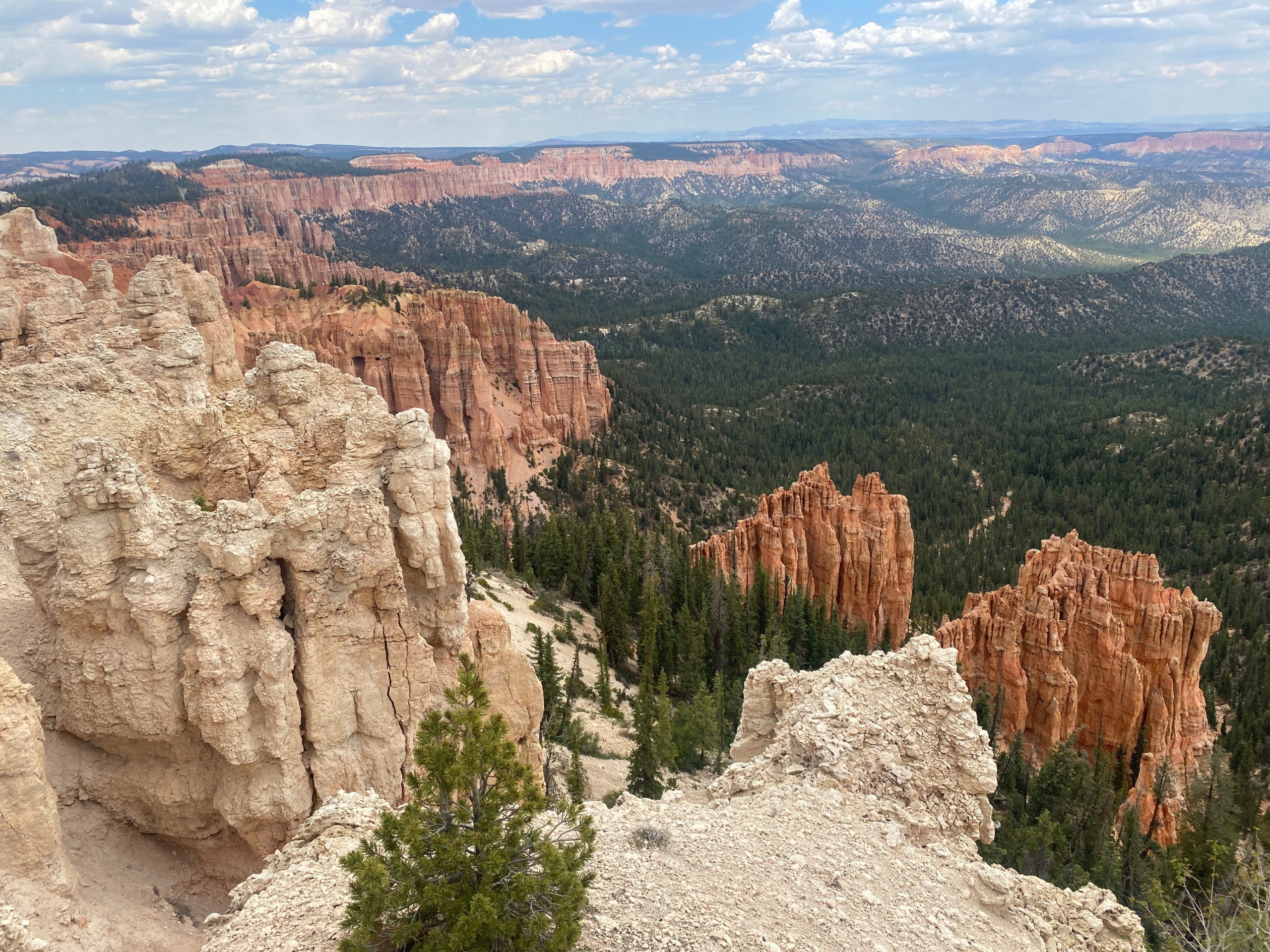
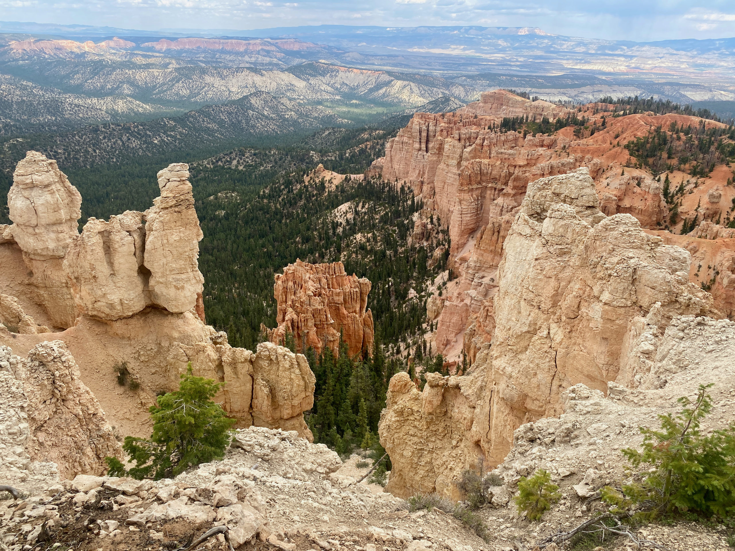
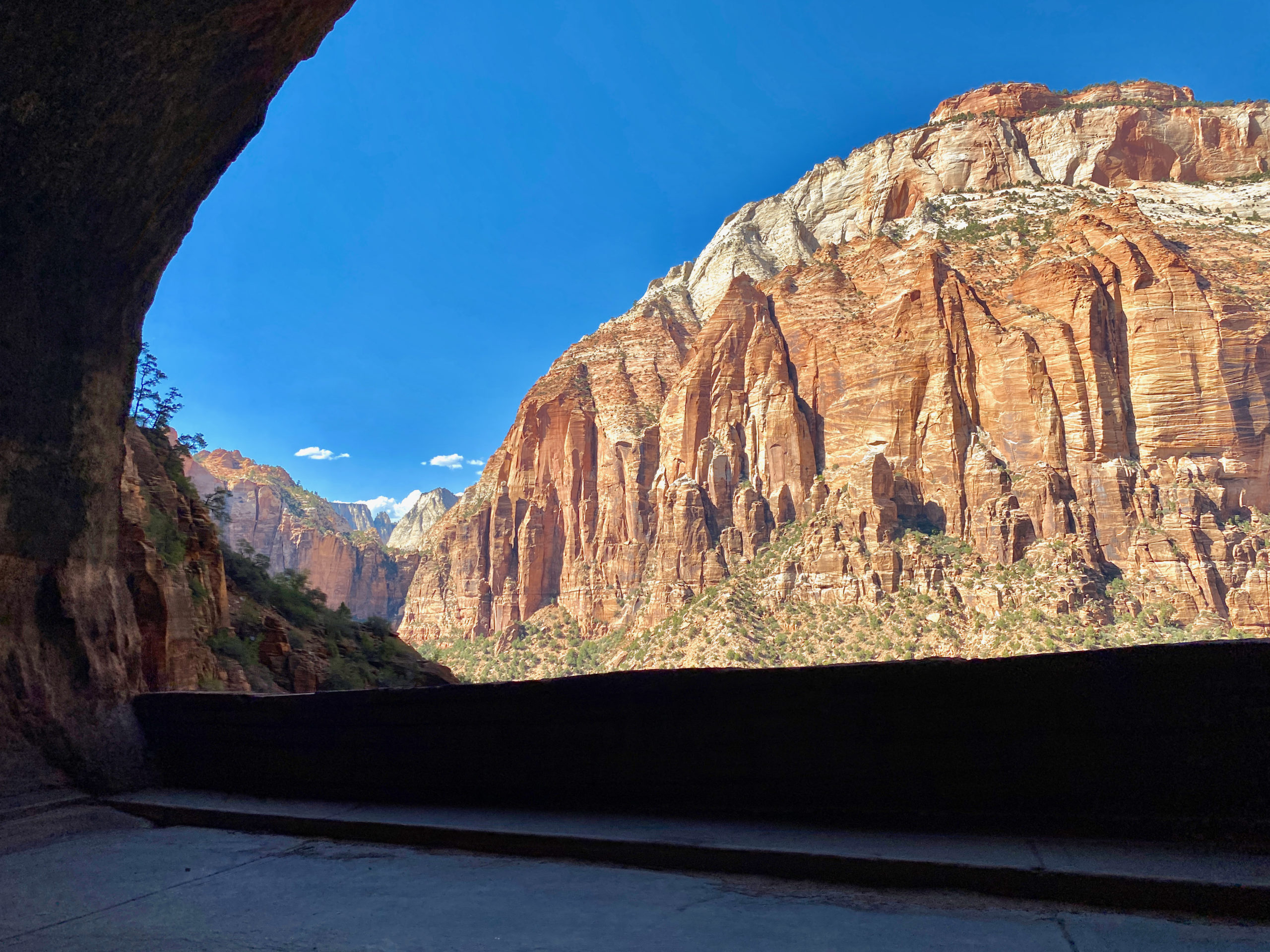
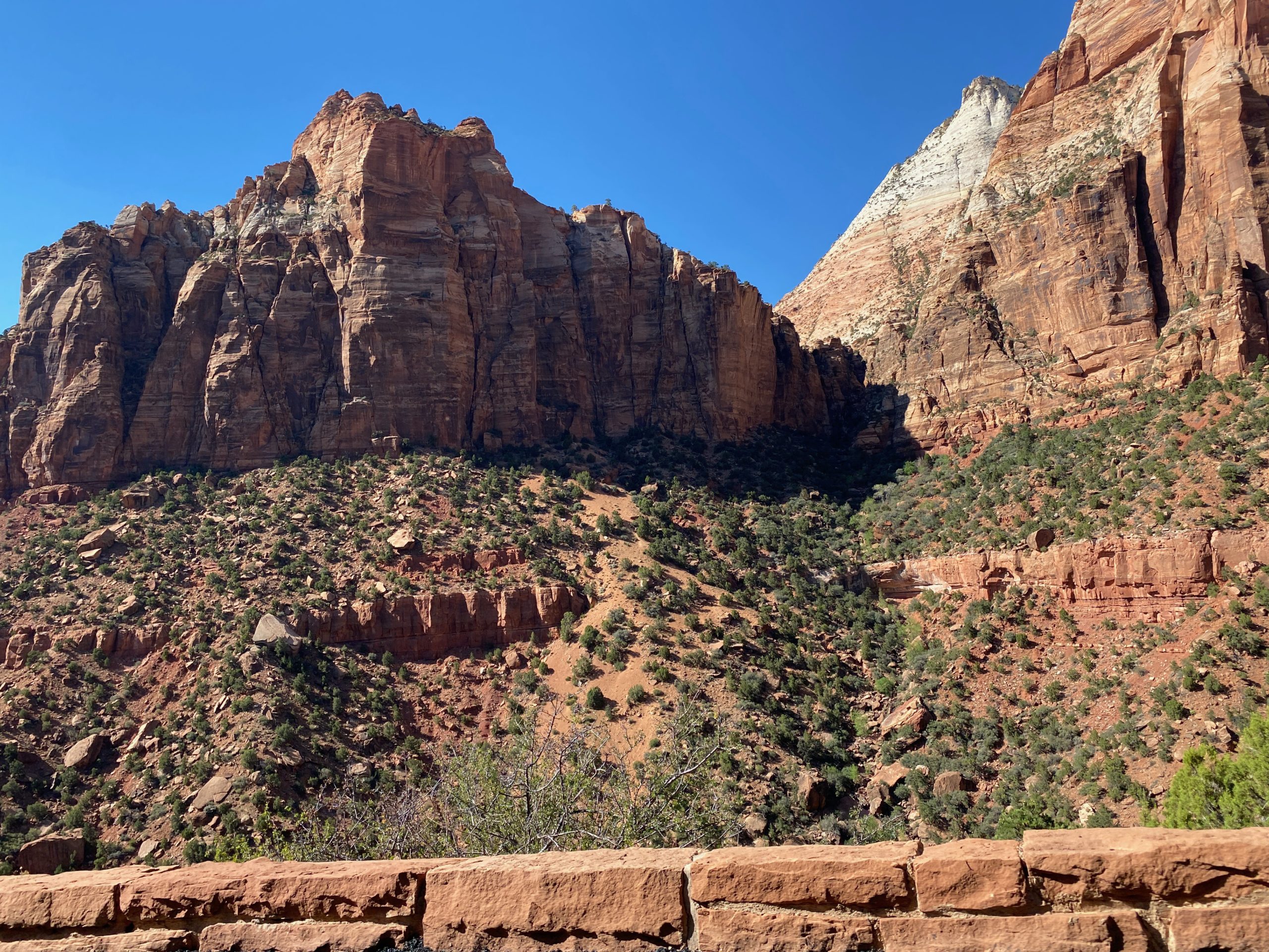
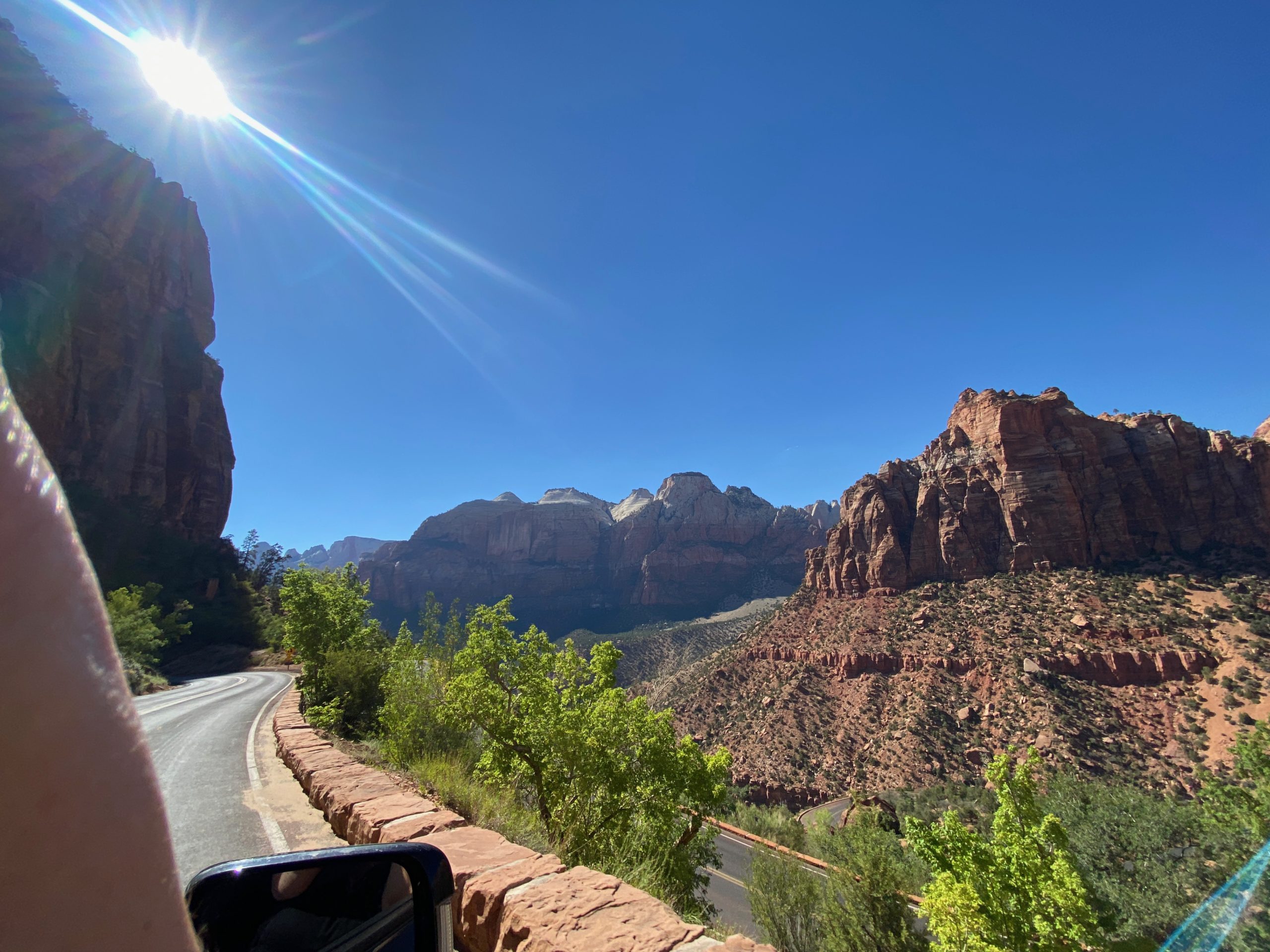
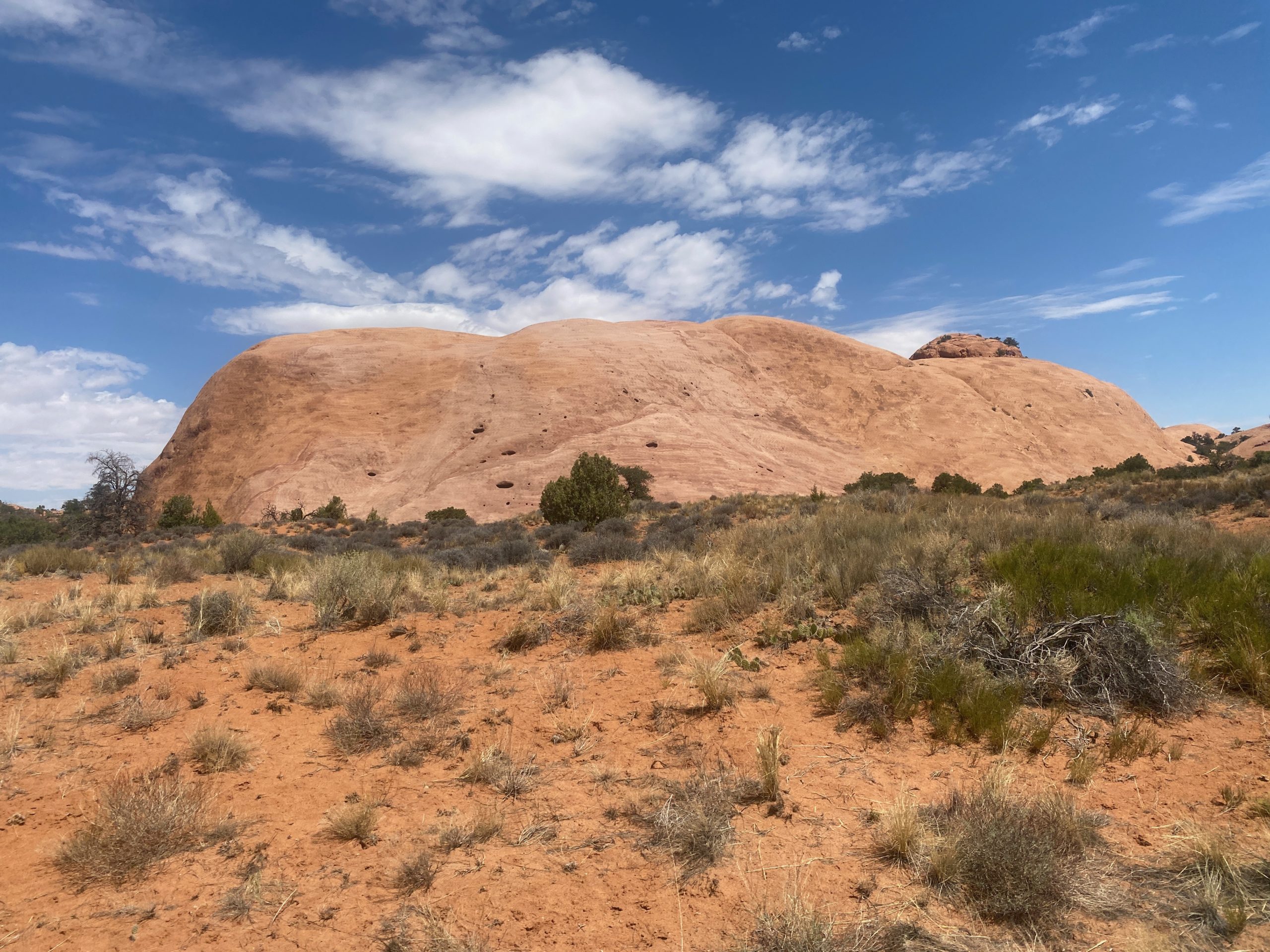
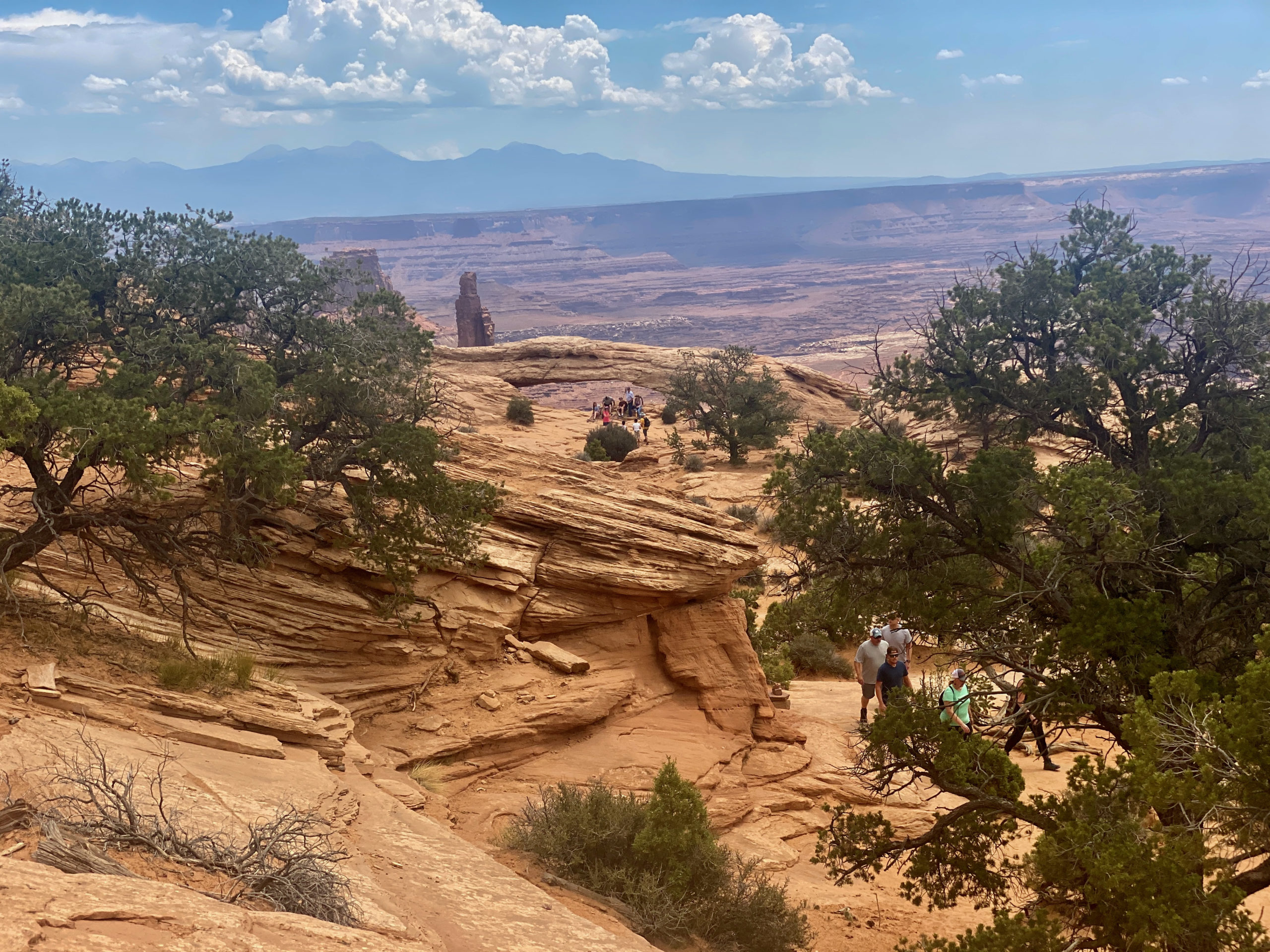
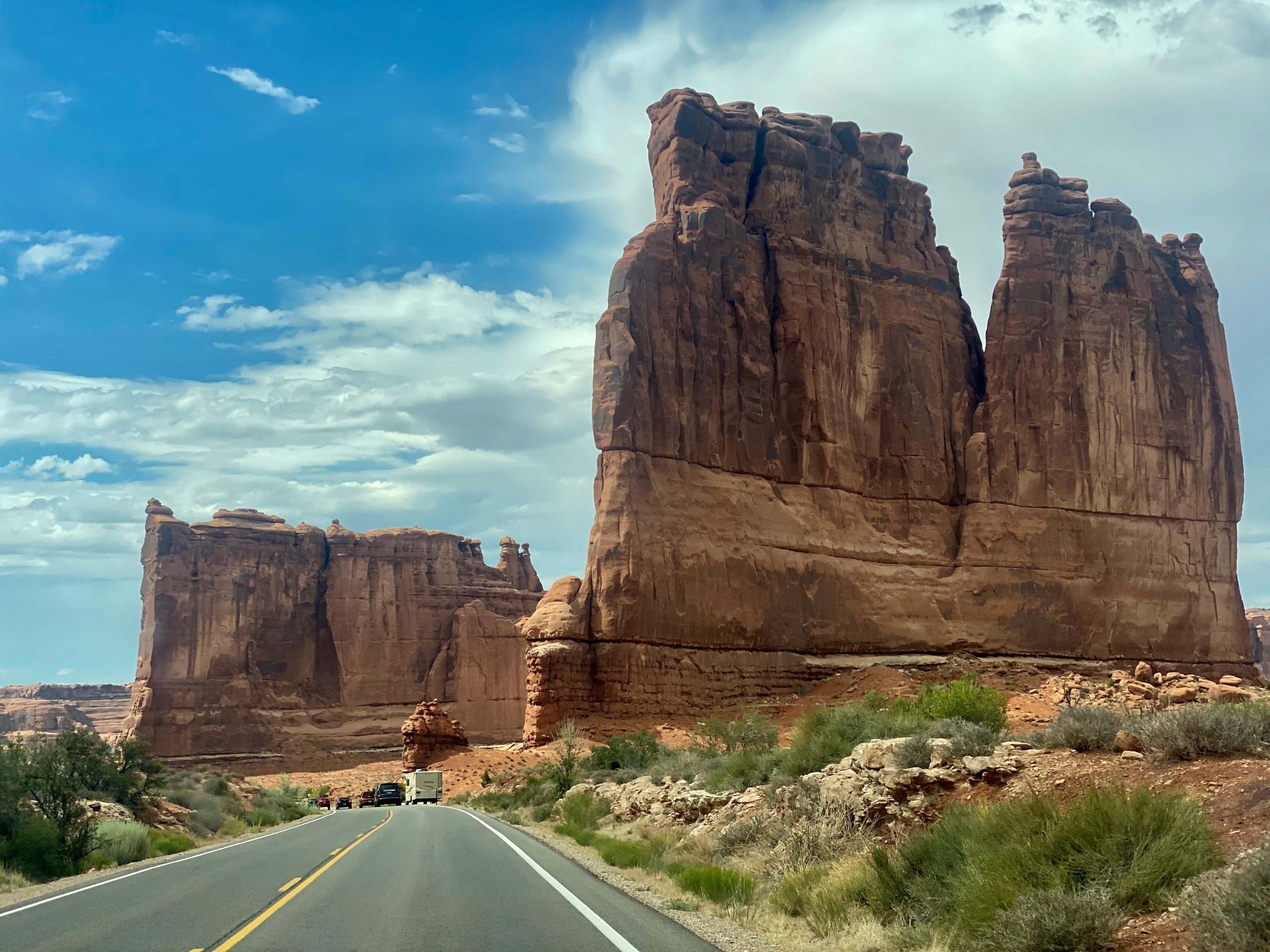
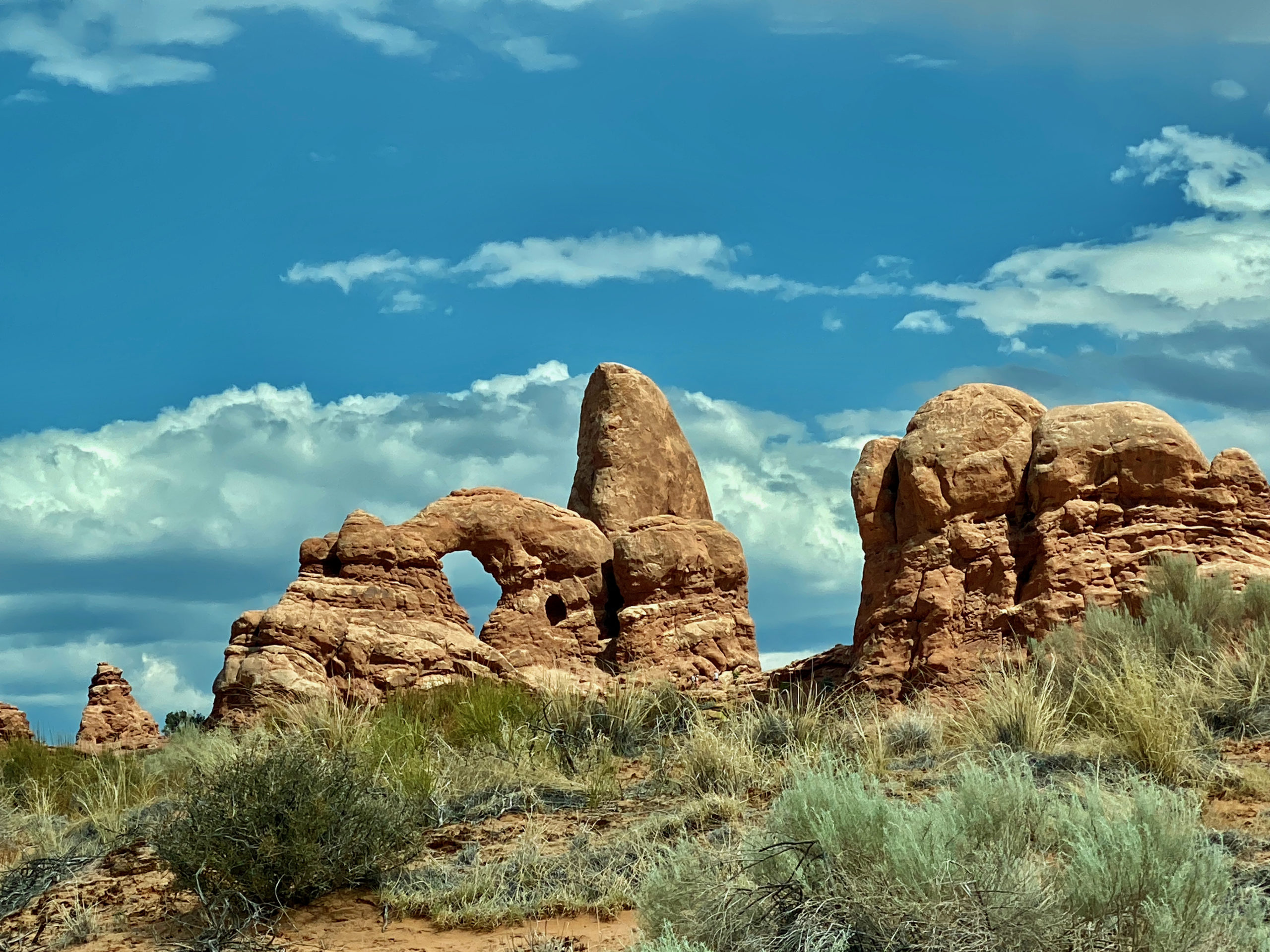
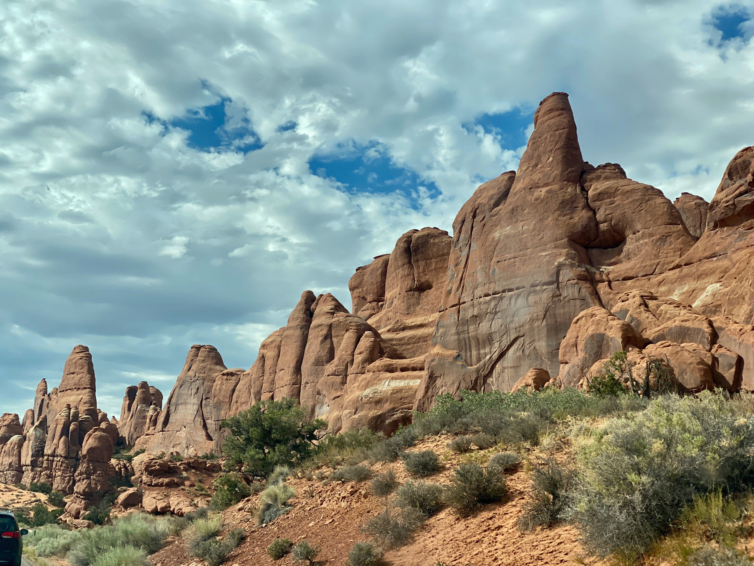
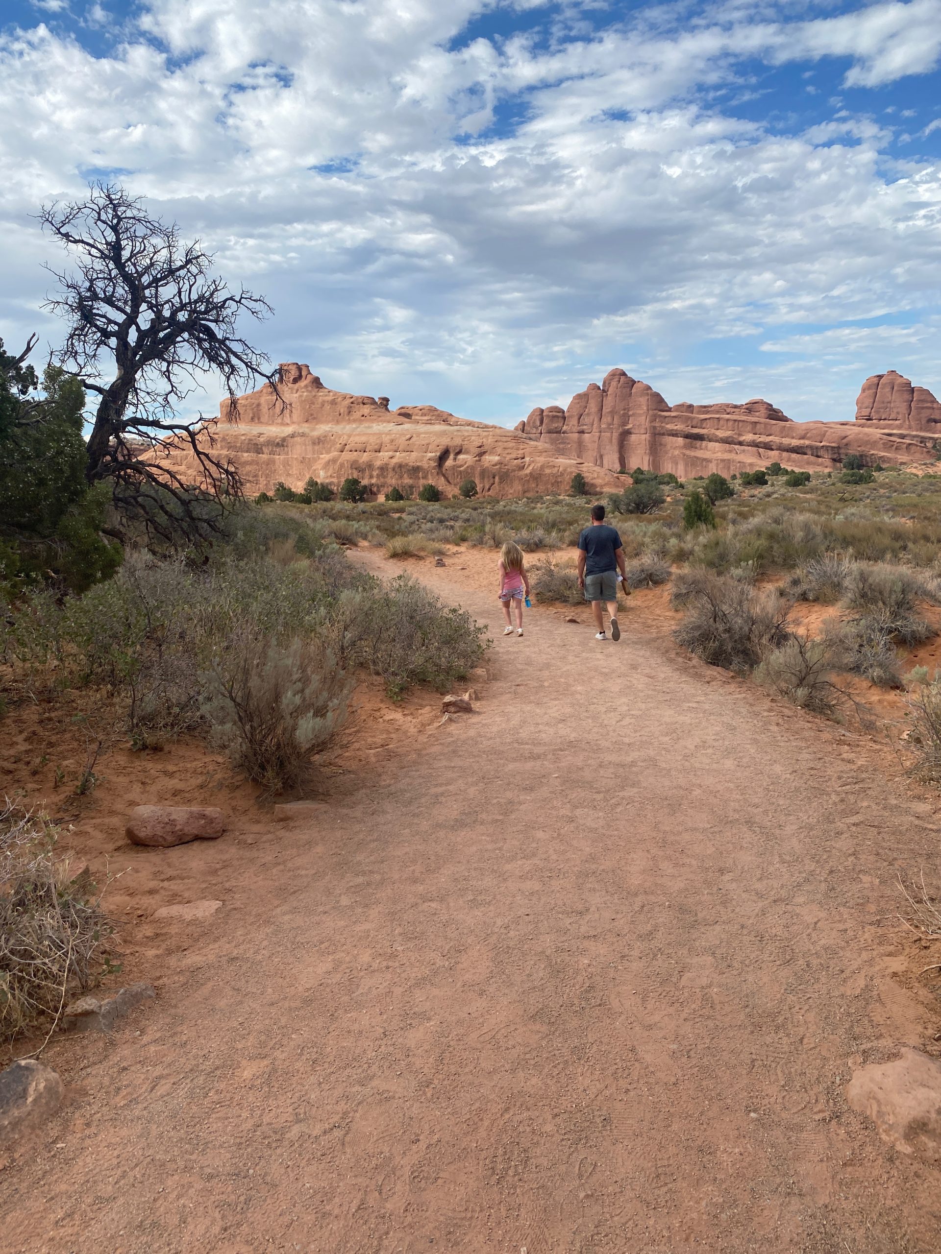
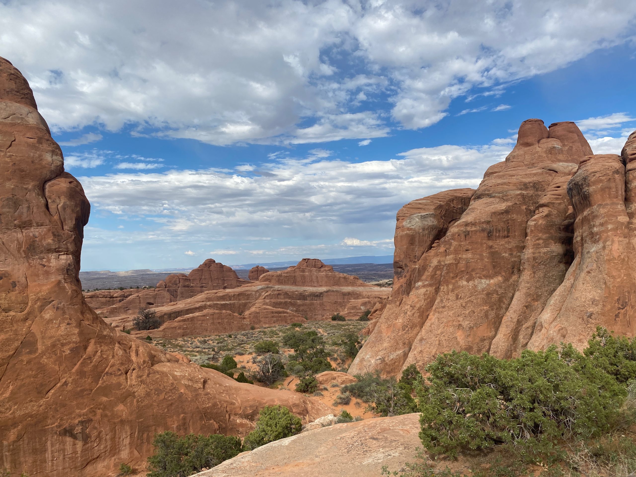
This took us to 3pm though… so it was time for the main event- ARCHES! I was excited to see these…but turns out other people are WAY more excited about arches of rock than I am. ha I like them, they’re cool but some of these visitors are just completely crazy town over these rocks.

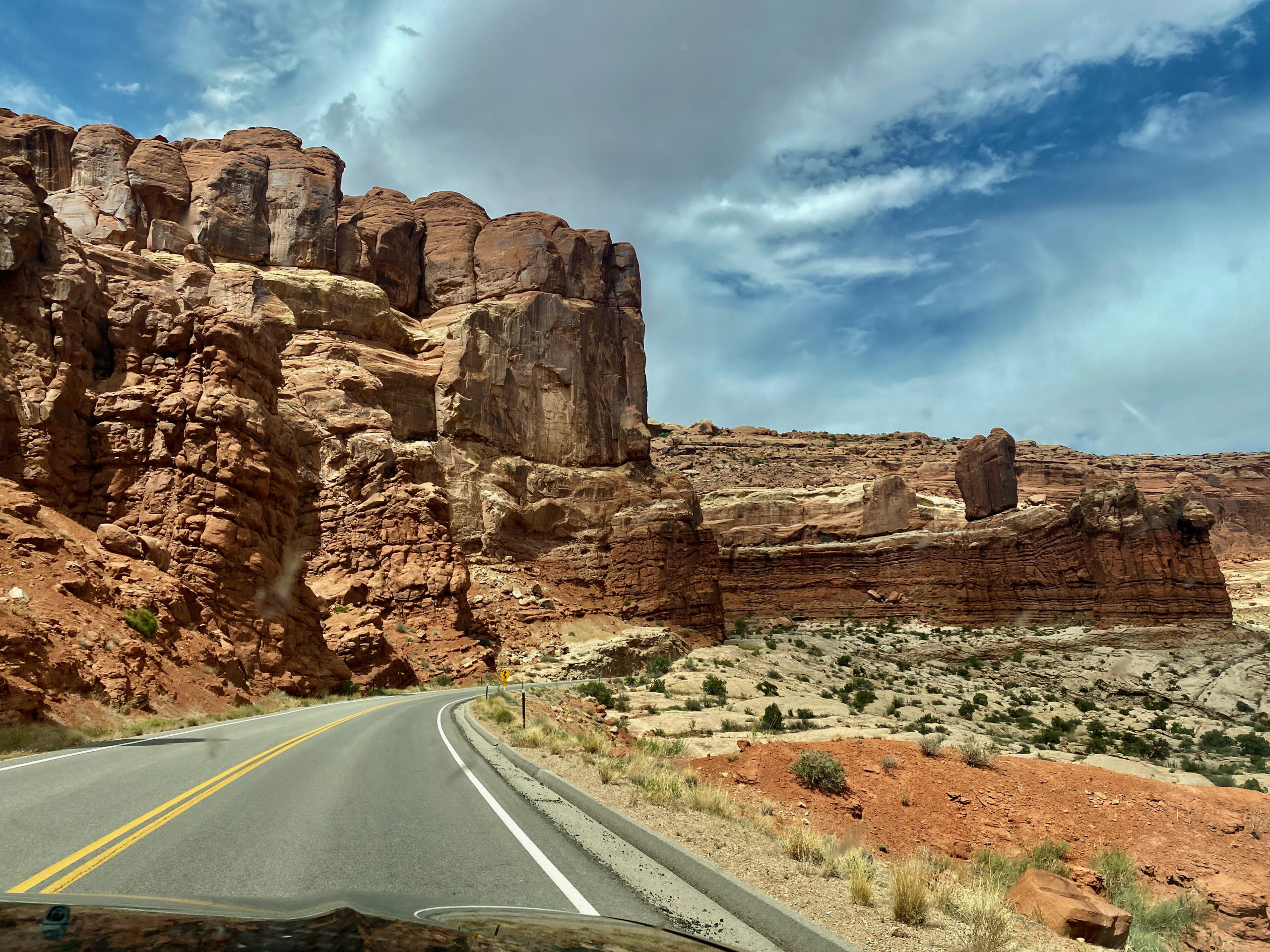
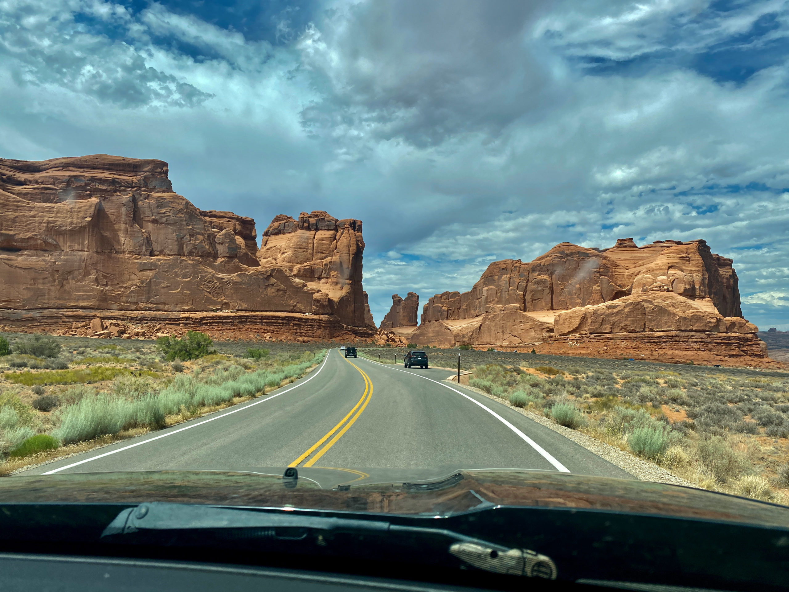
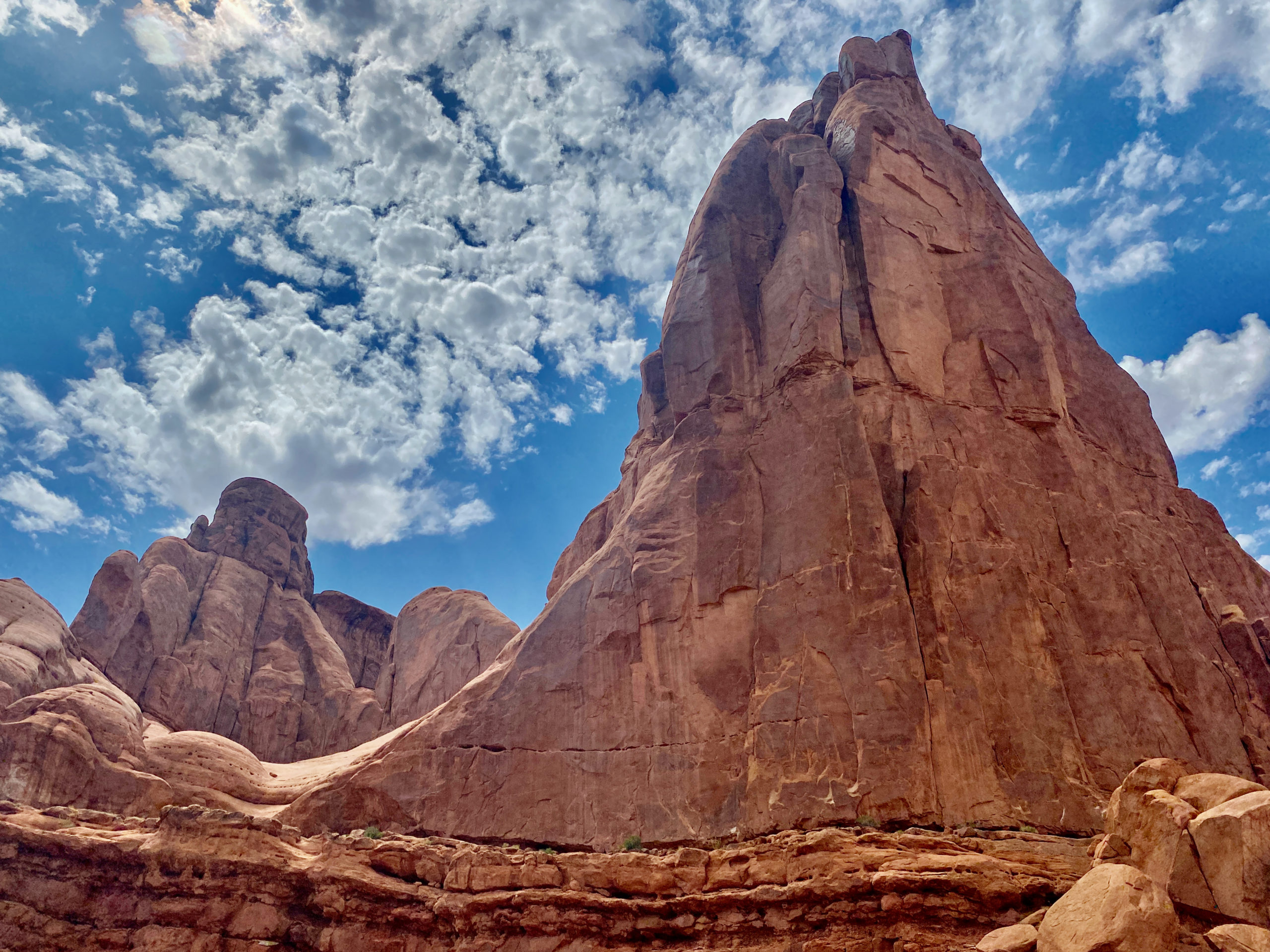
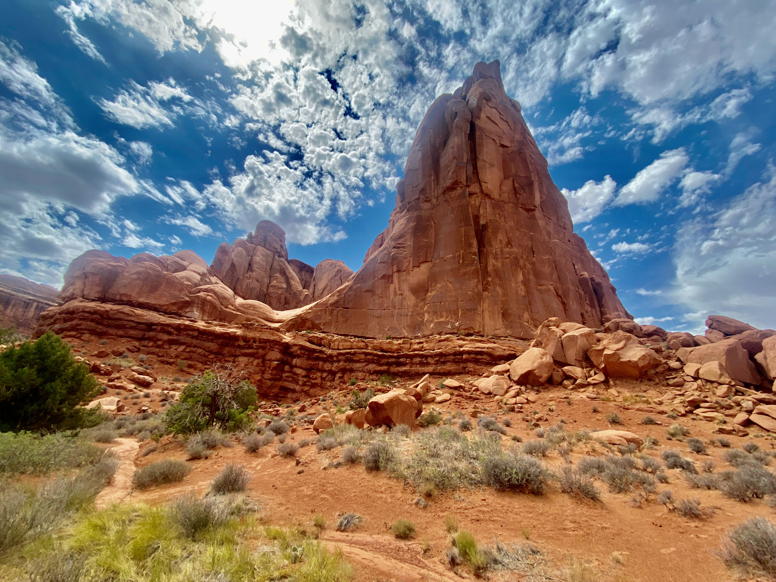
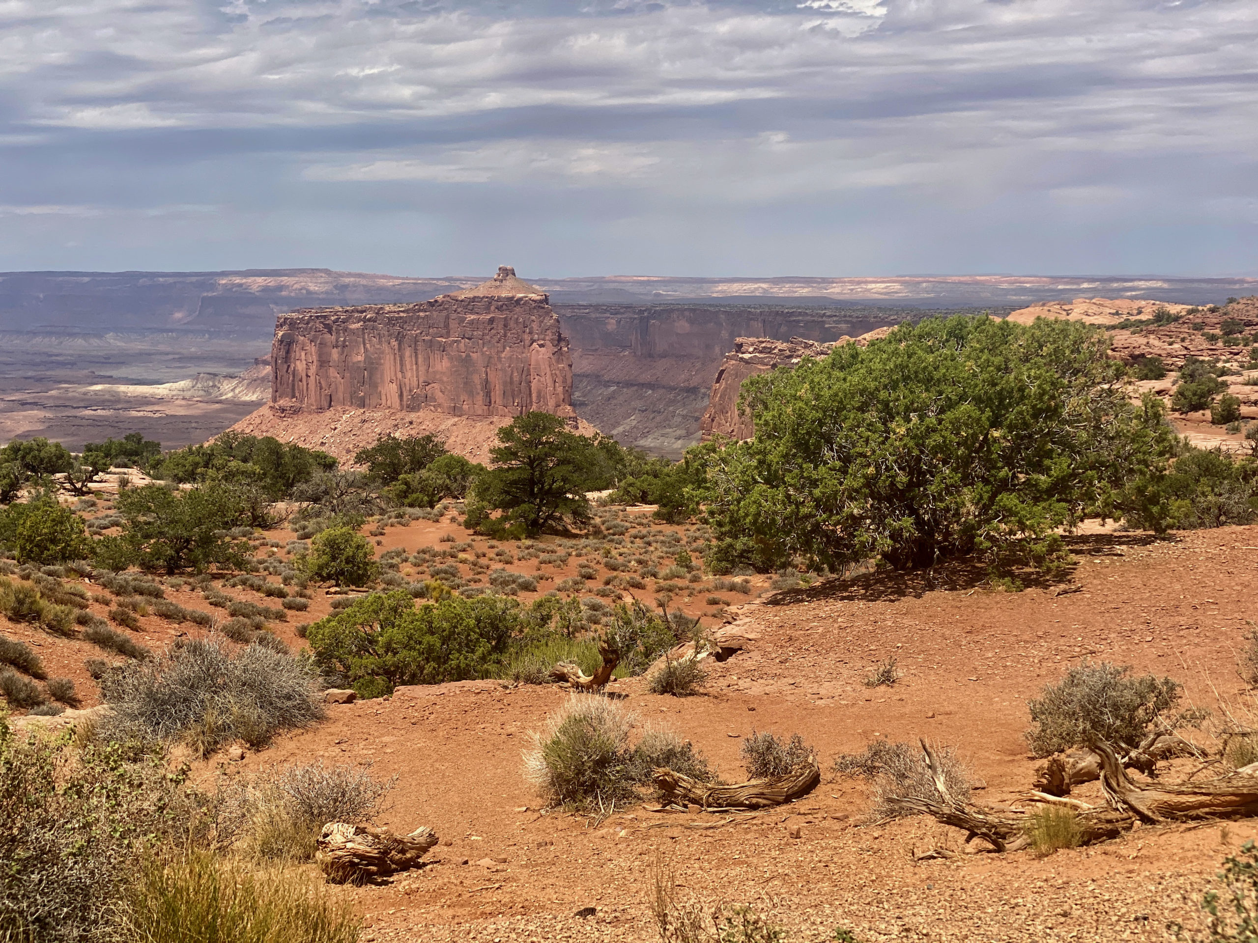
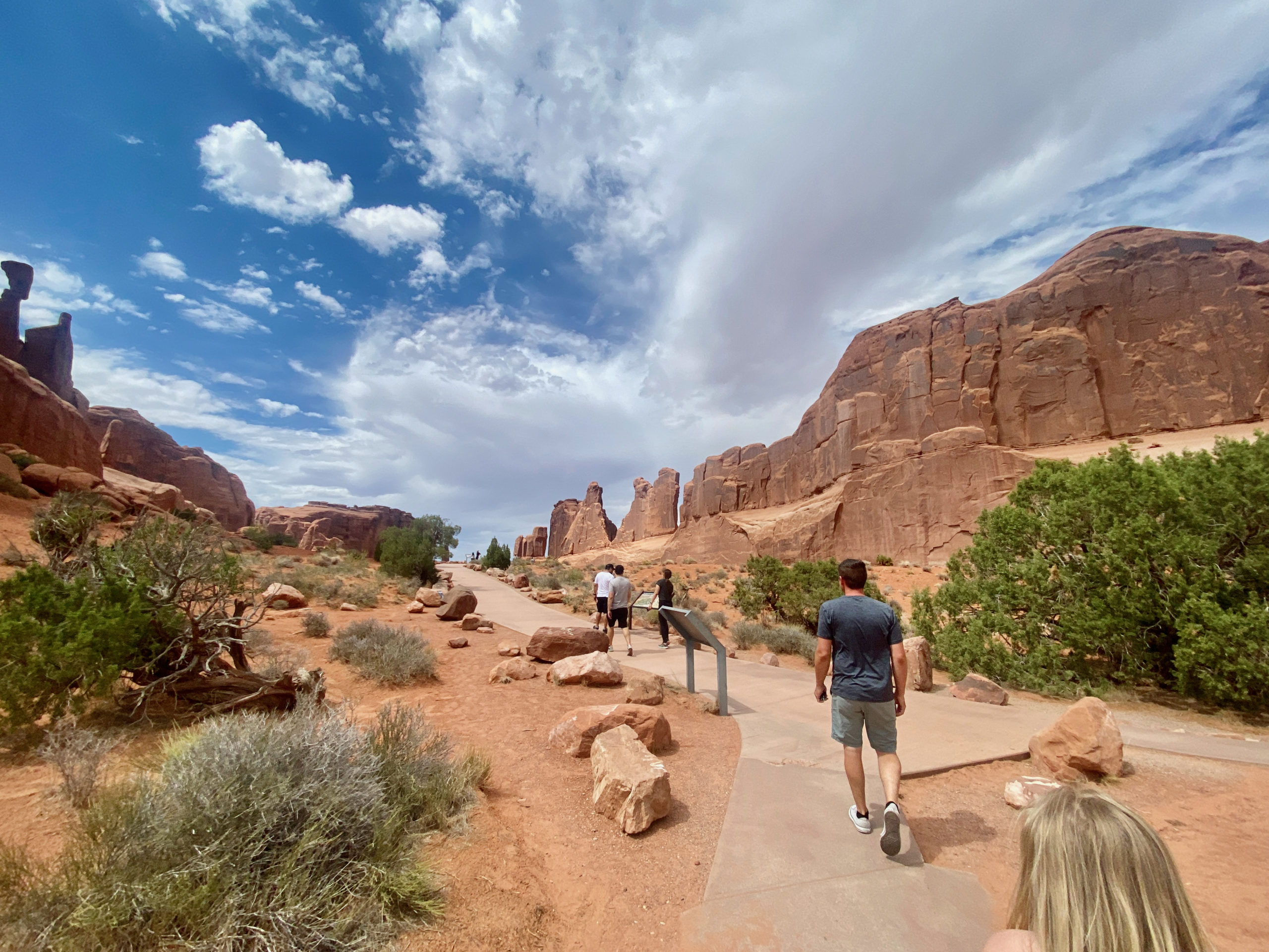
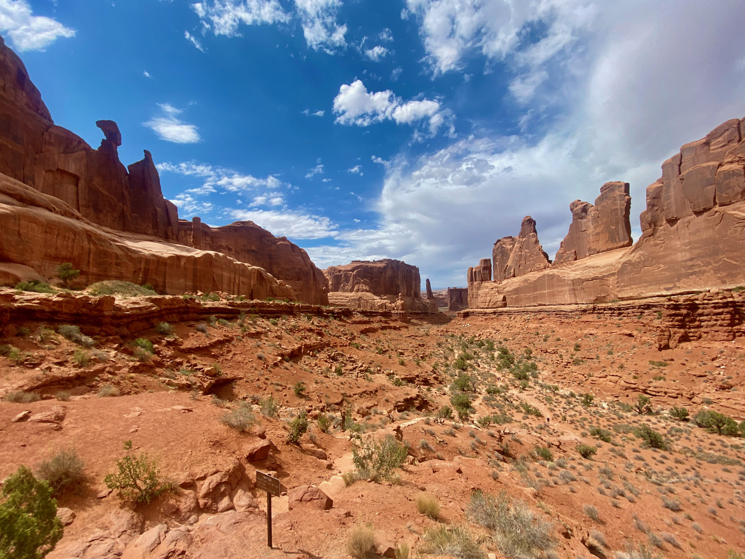
Our first stop was a viewpoint called Park Avenue. Such a cool point.

Balanced Rock
An arch from the car. No hiking needed! ha

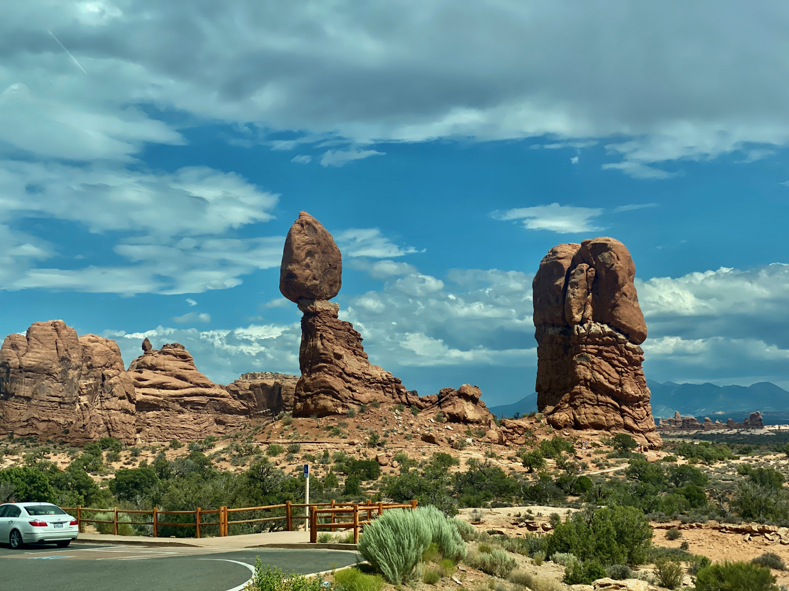
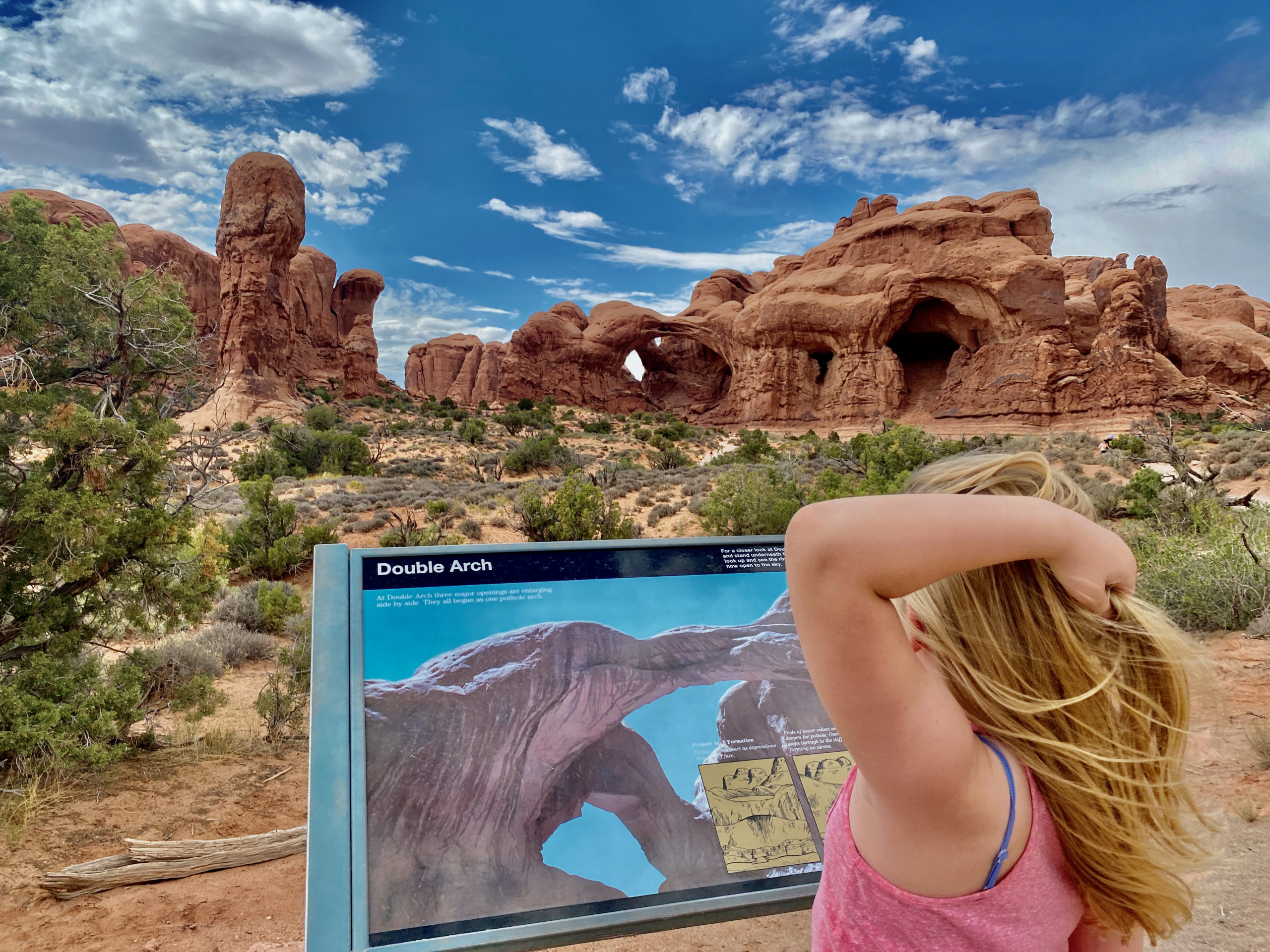
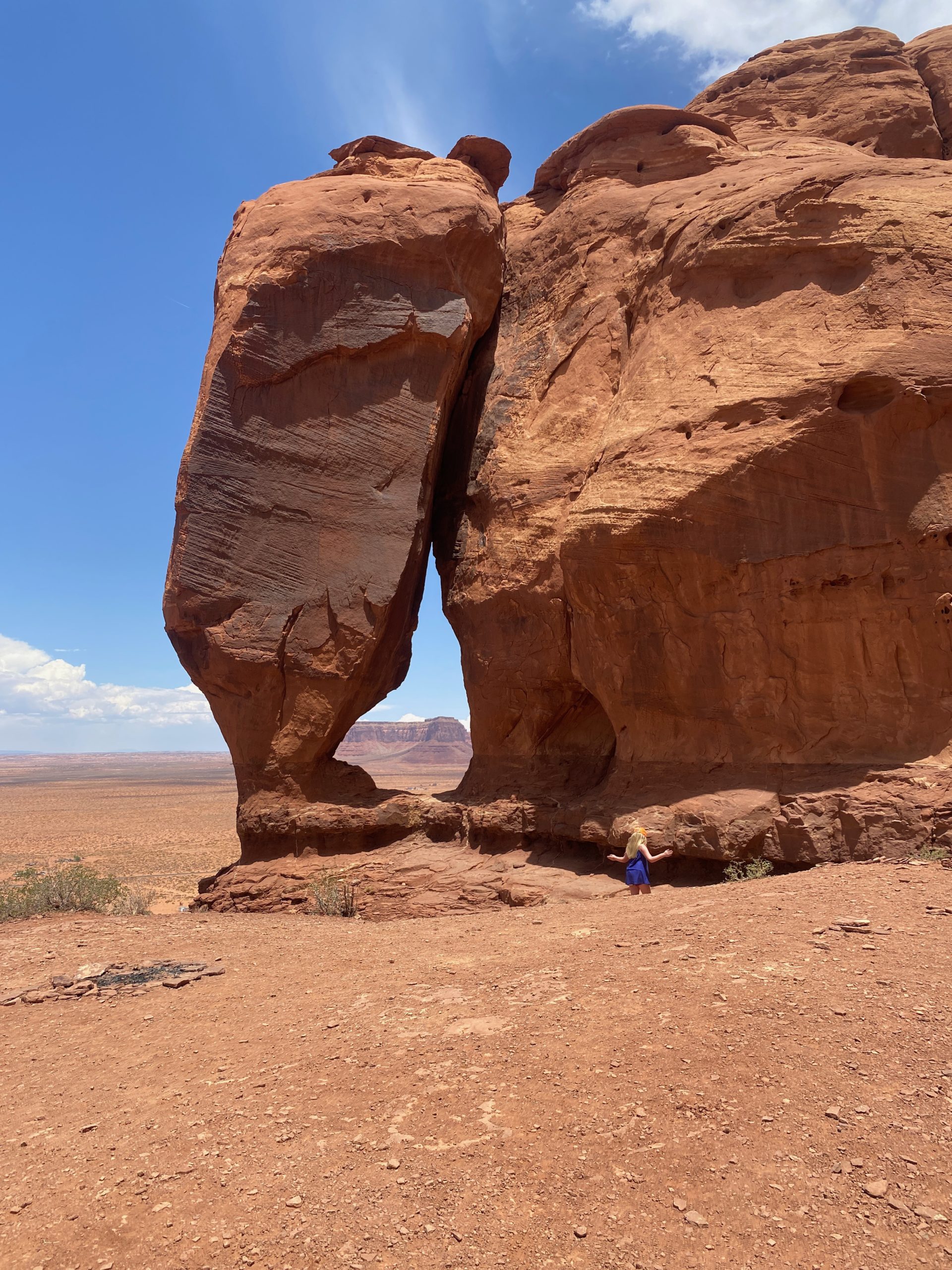
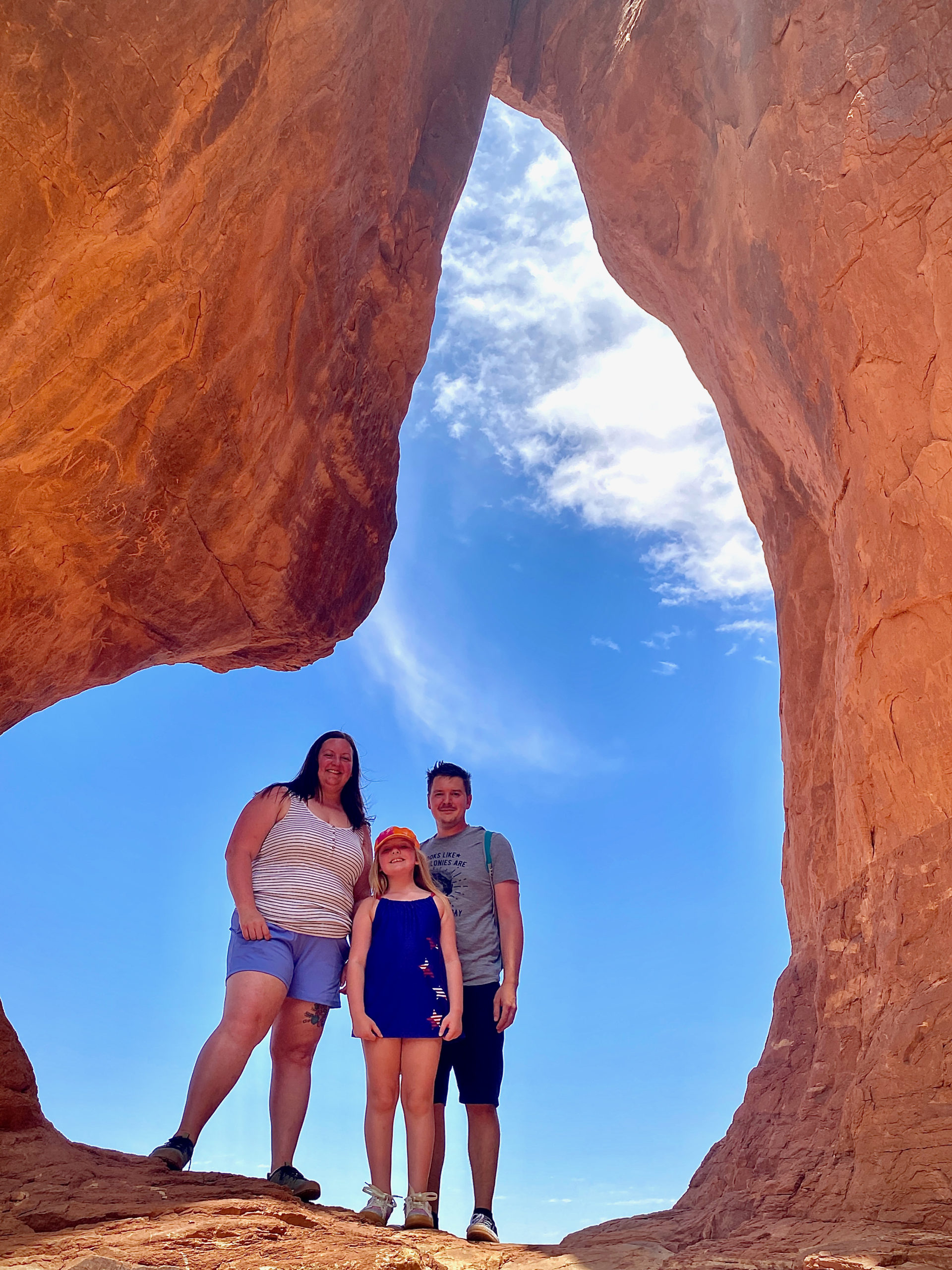
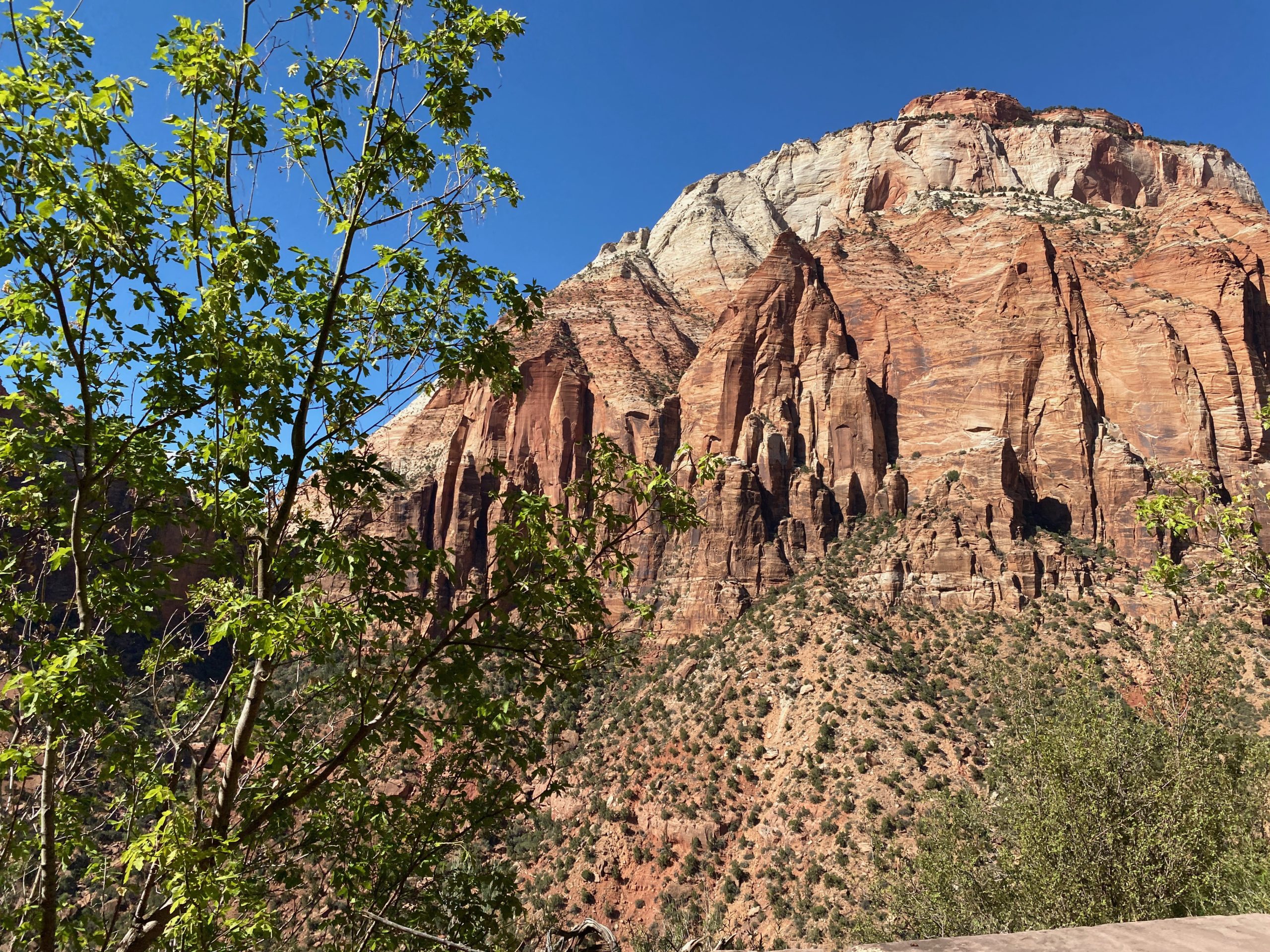
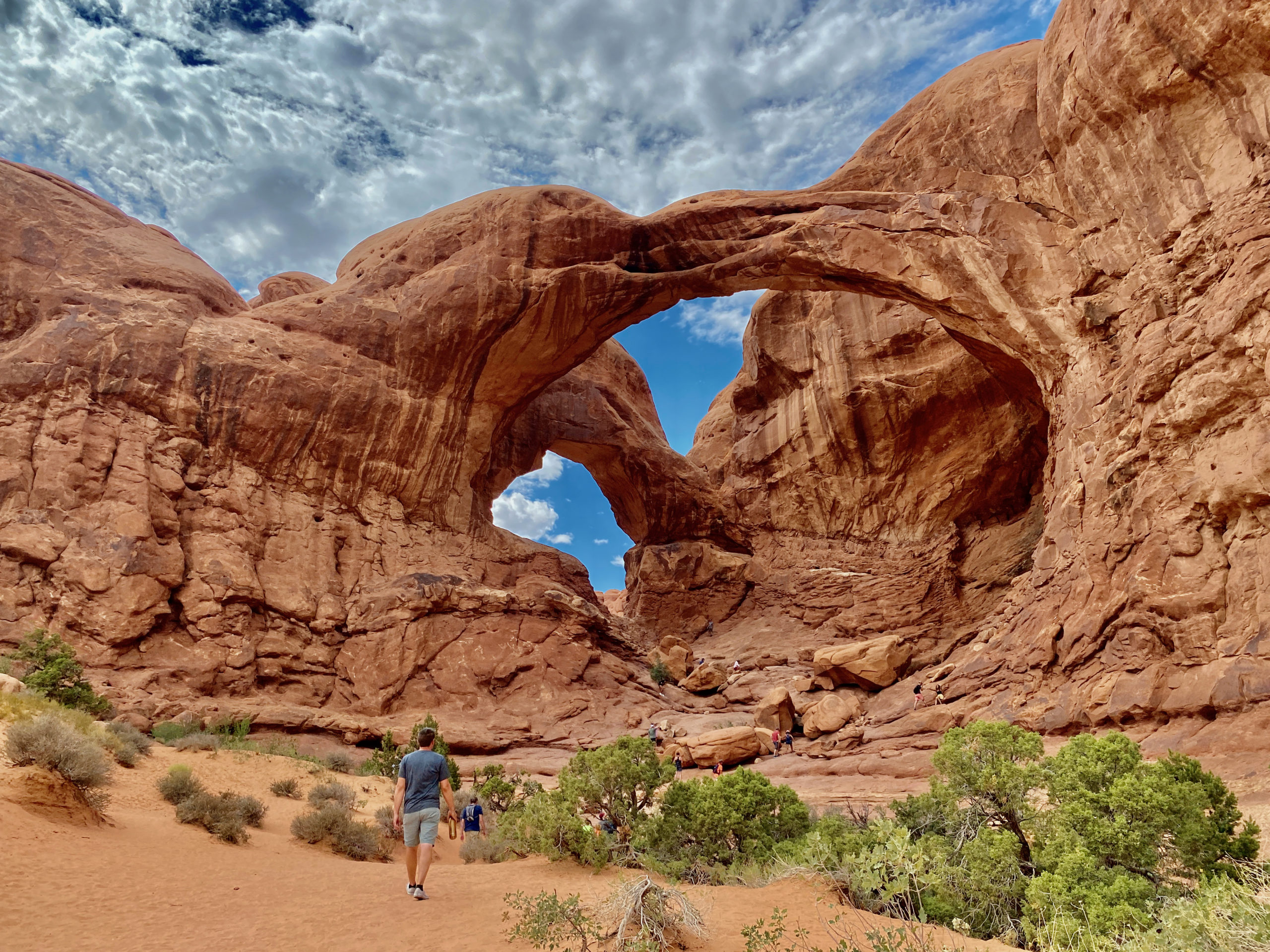
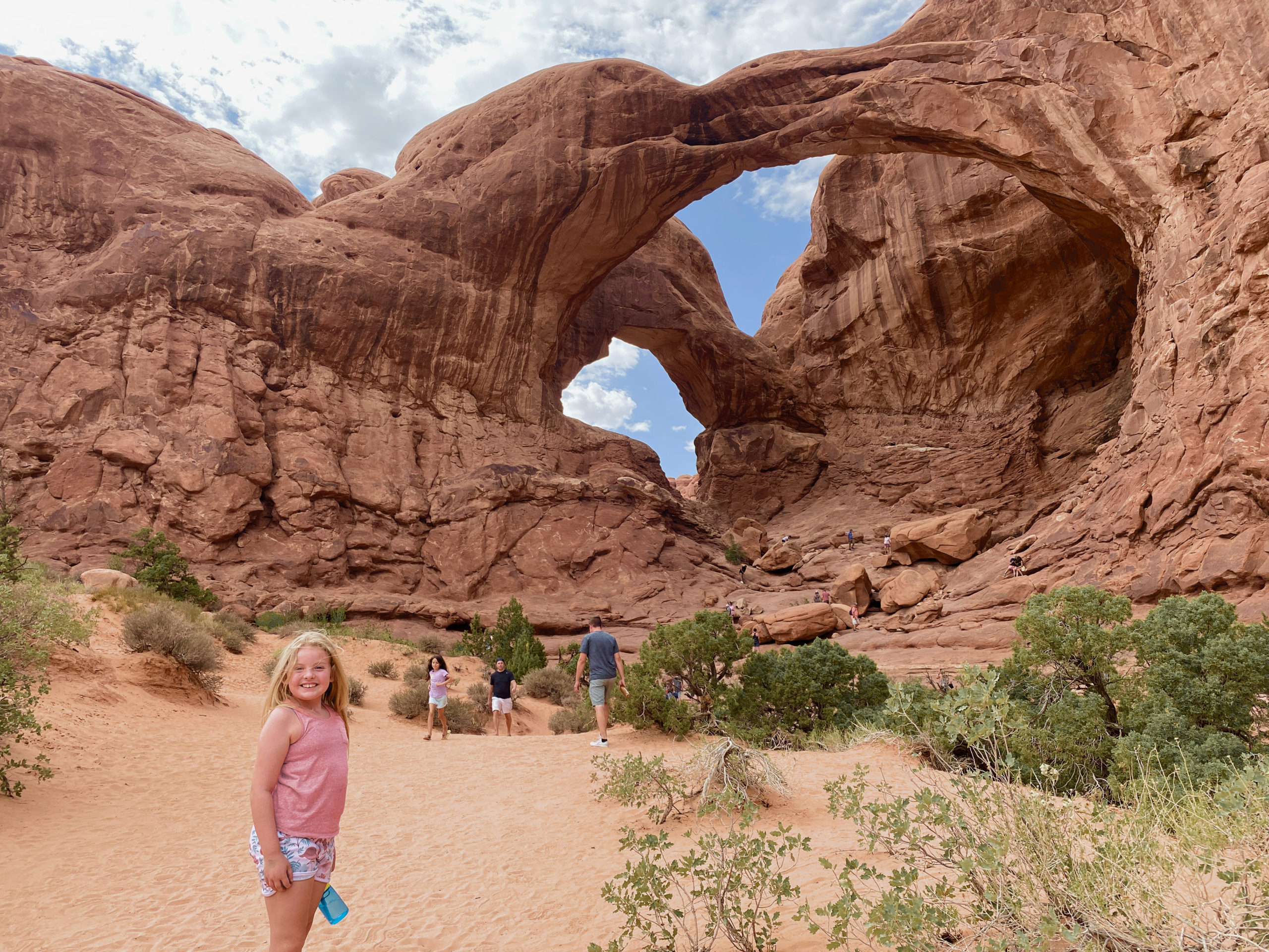
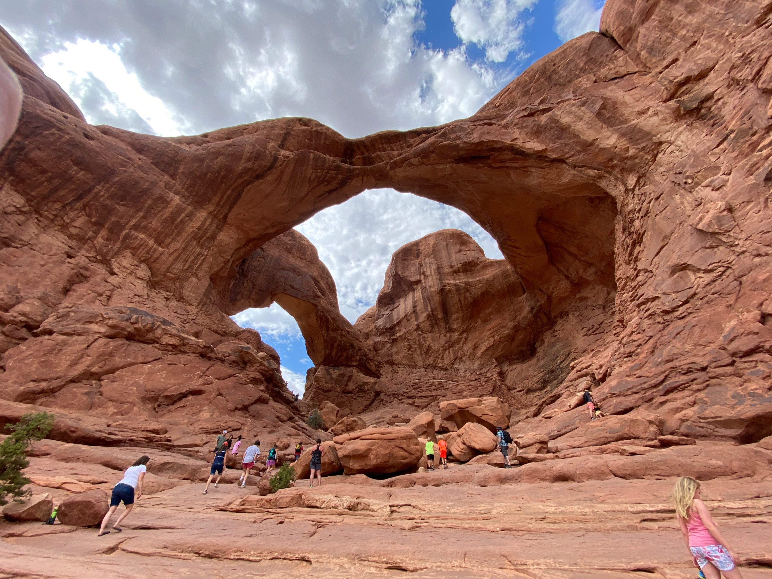
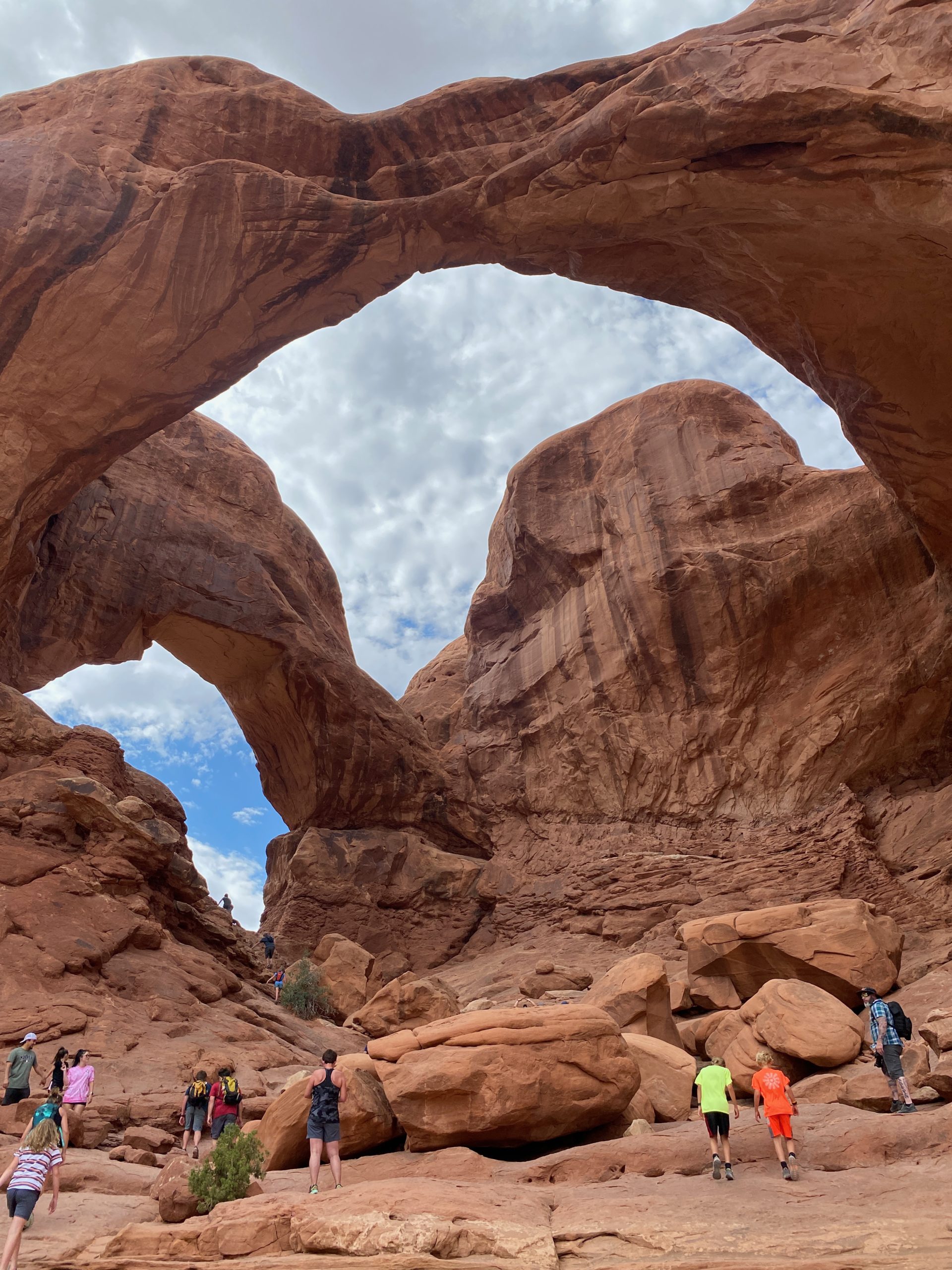
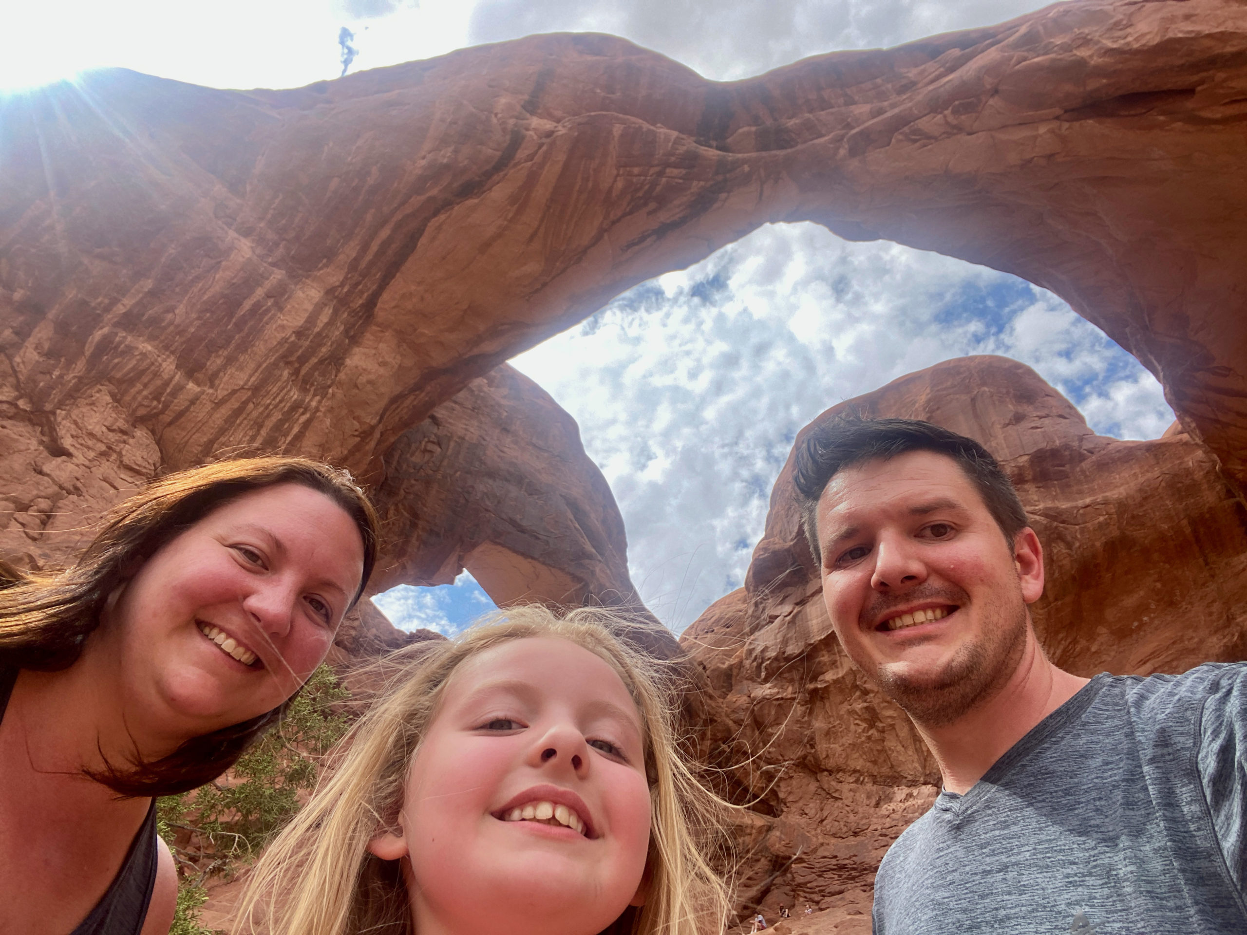
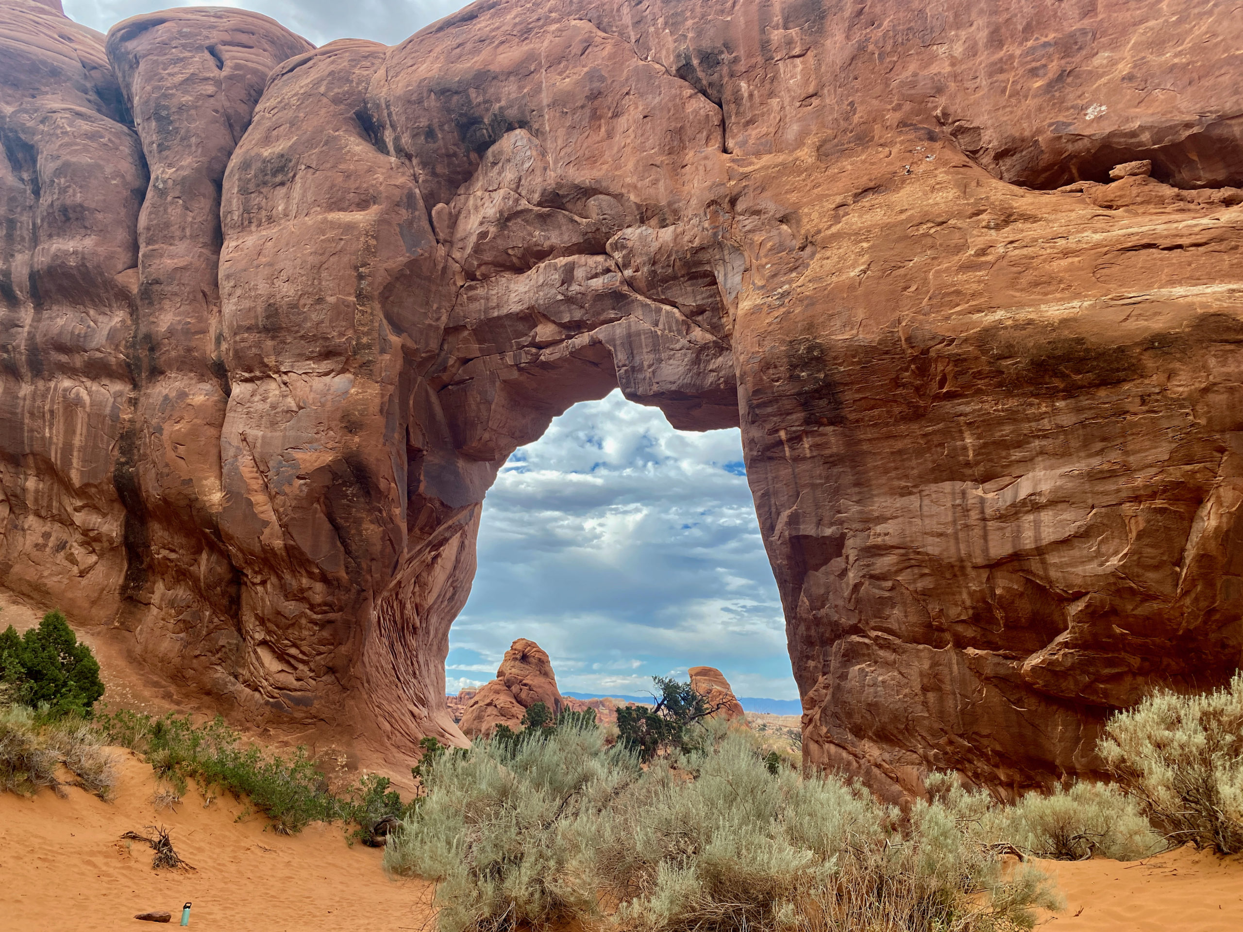
Kegan had been to Arches before- on field camp- in college for his Geology degree. So he said if I was going to do one arch- Double Arch was well worth it for the short walk back to the arches- so that was our first trek. He was right and Norah loved it.

Our next viewpoint was Delicate Arch lower viewpoint. I assumed it would be closer…. but it was SUPER far away…but the 3-4 mile hike to go back to it Kegan had done before and with 105 degree heat, he said that was not a hike Norah and I were up for today. Fair enough! So next trip out, maybe.

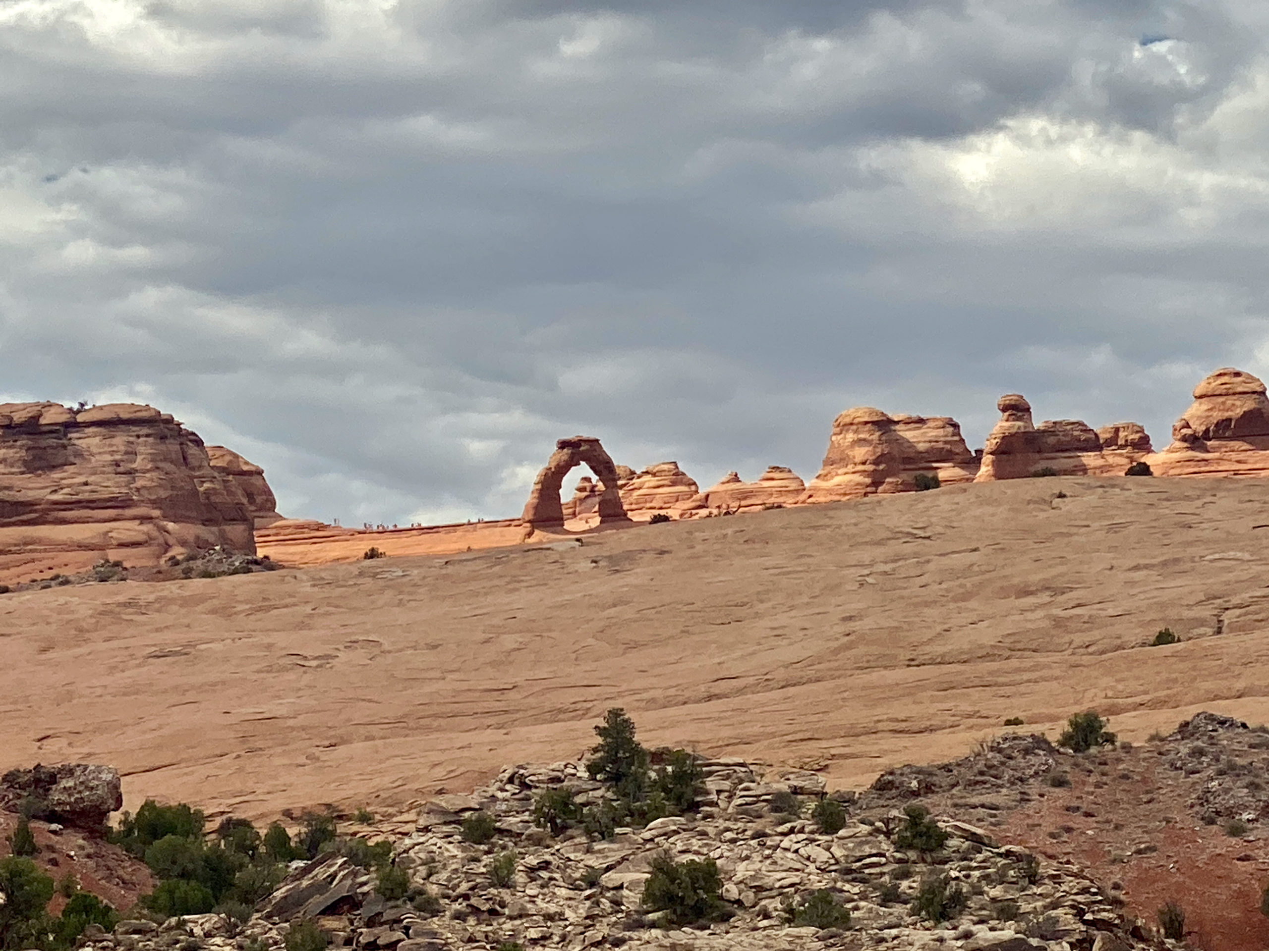
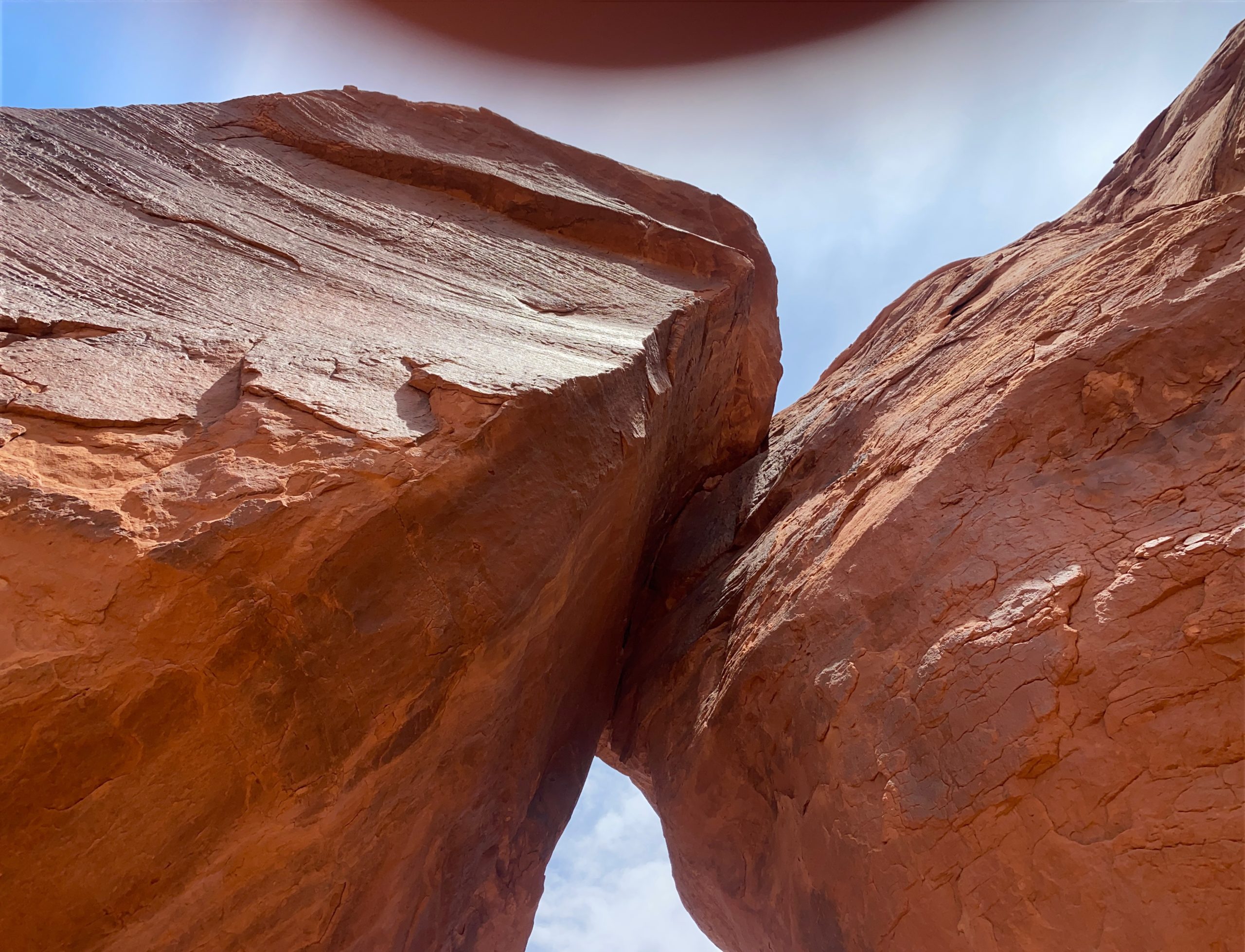
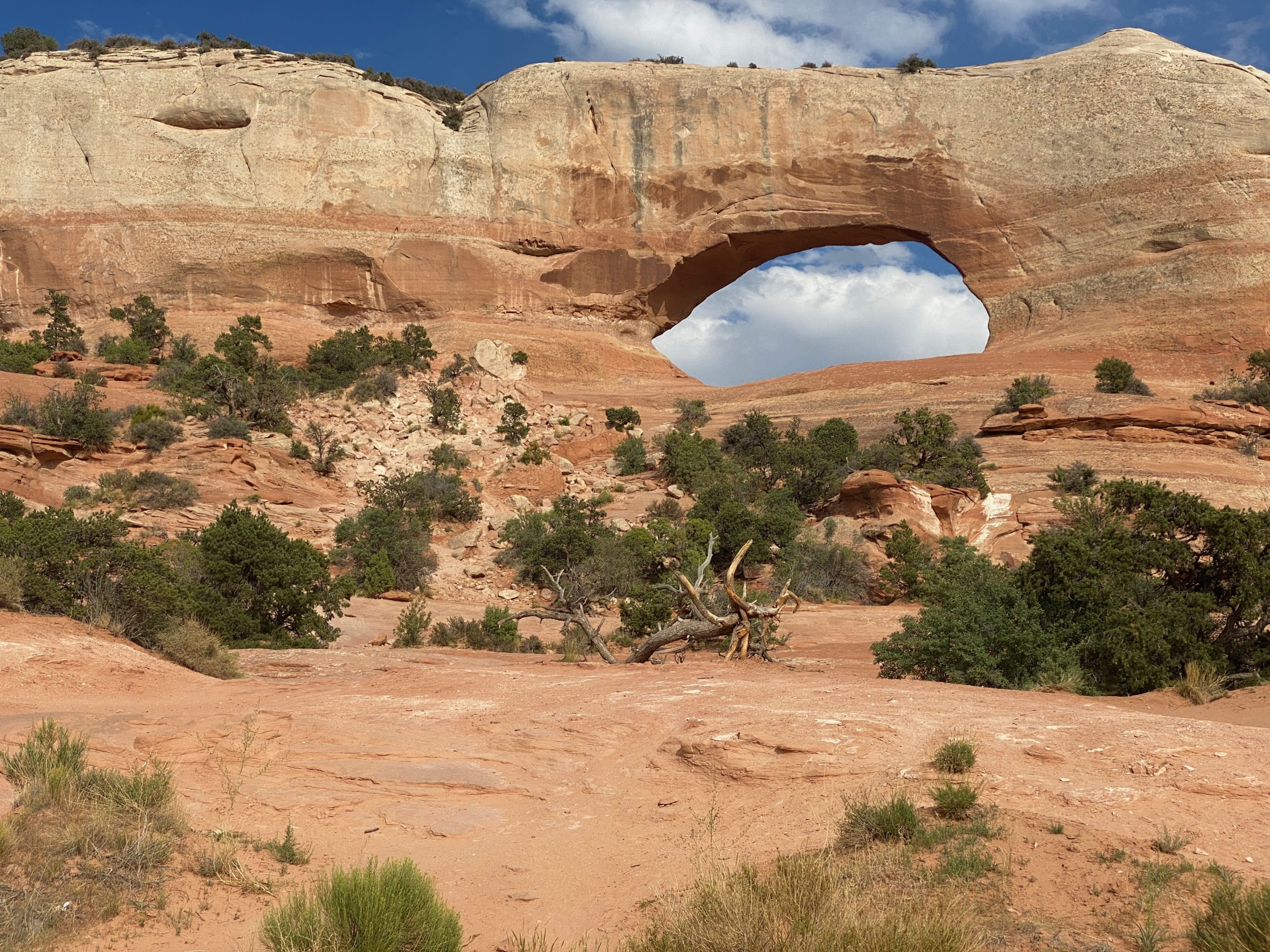
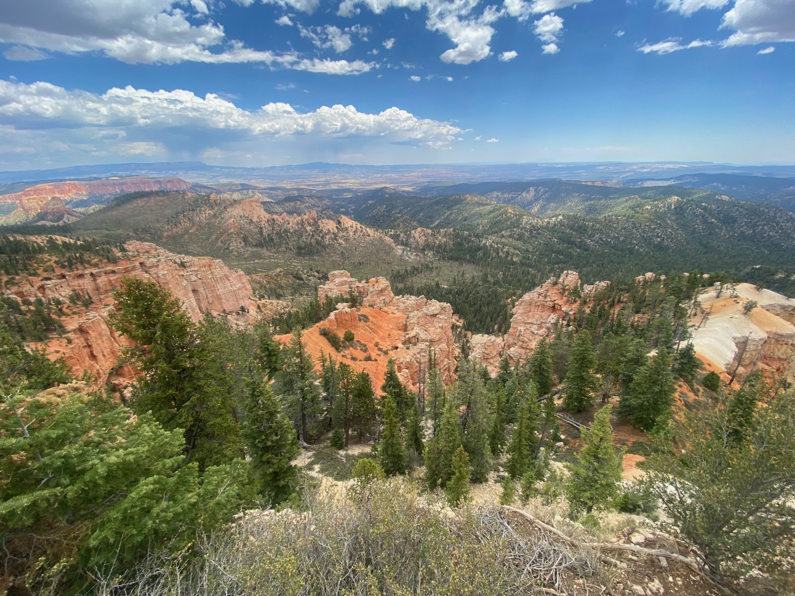
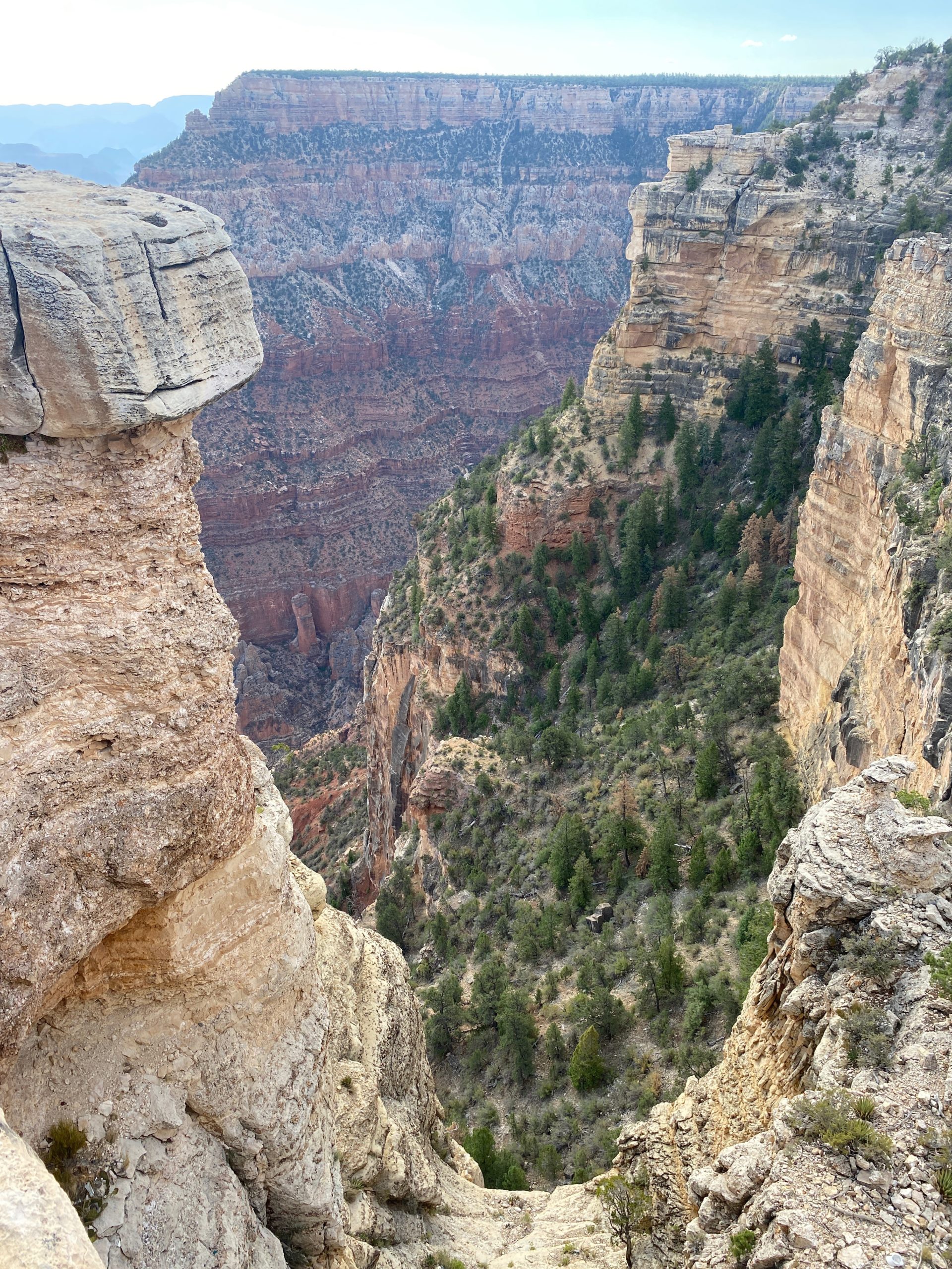
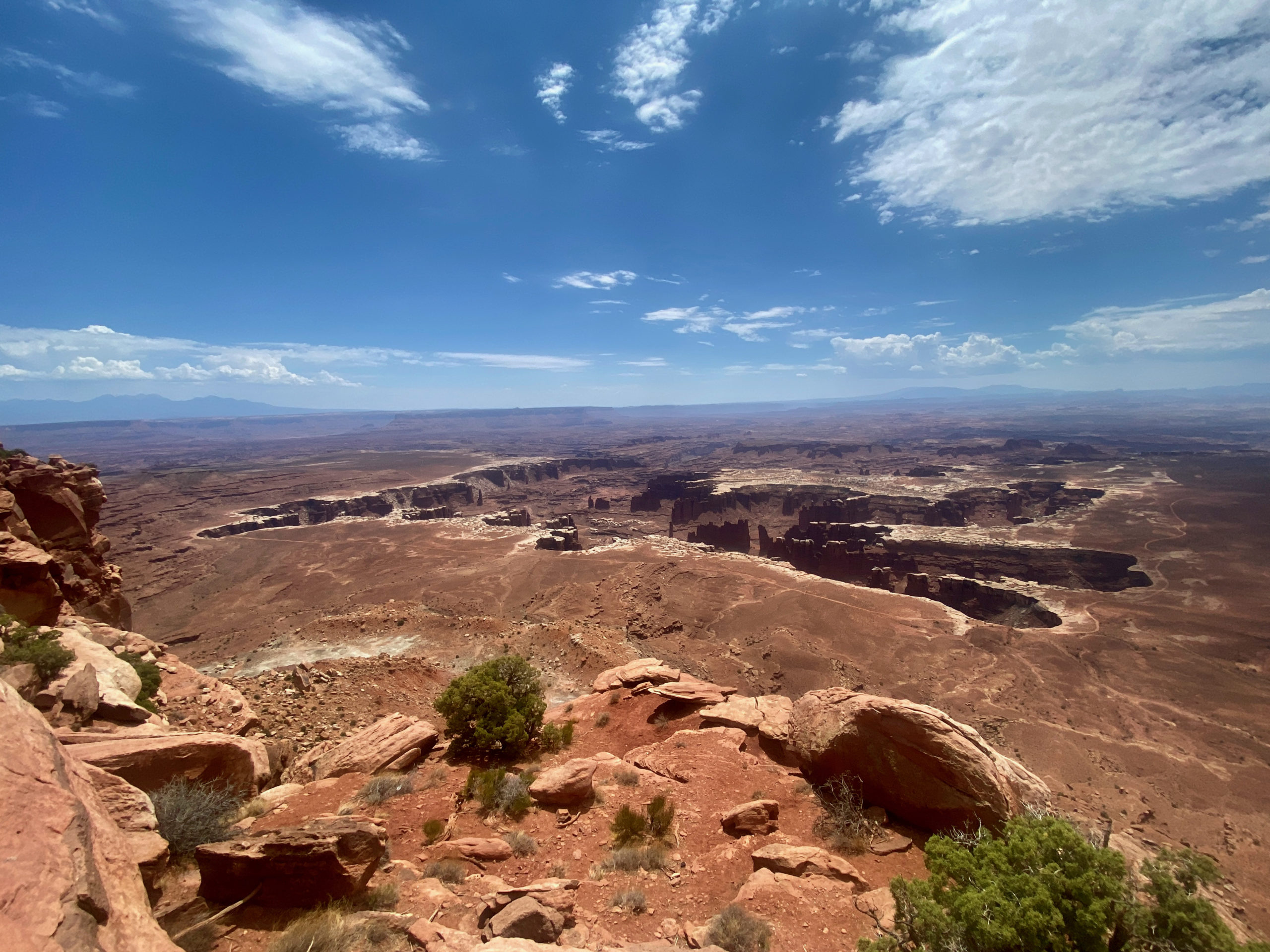
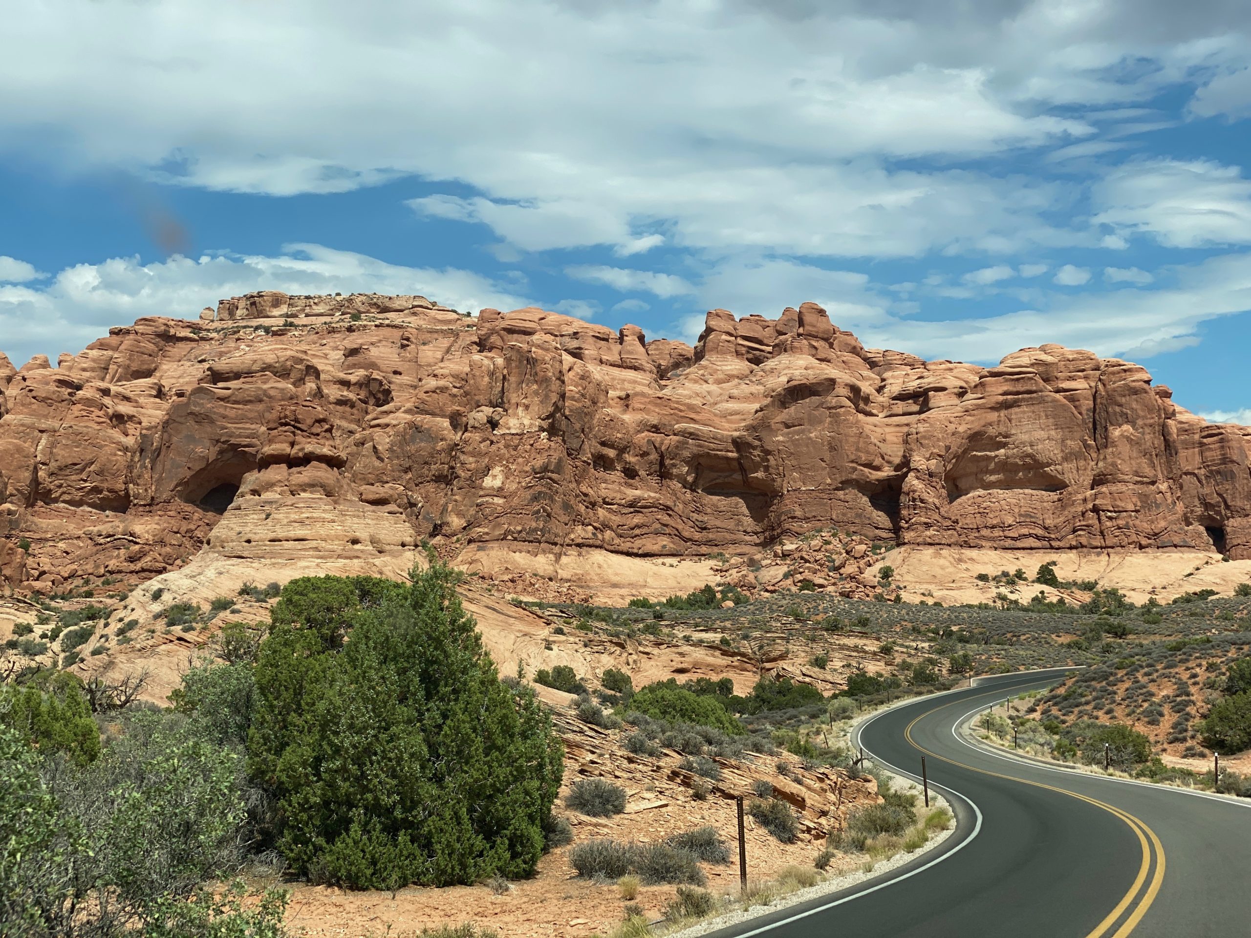
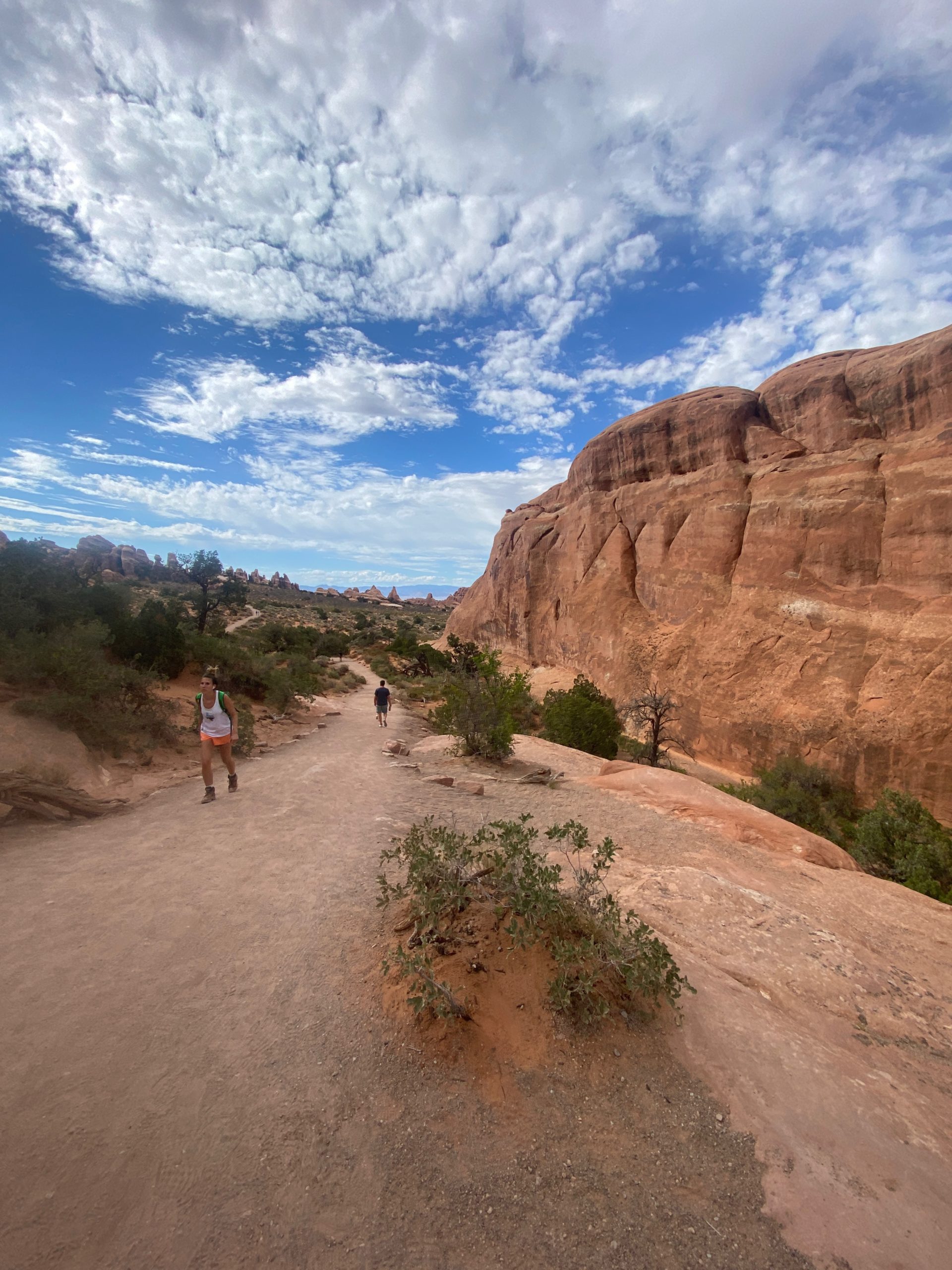
Our final stop was at the backend of the park at Devil’s Garden-a 7.8 mile loop of multiple arch trails. We decided to do the 1.8 mile down and back to Landscape Arch which seemed like a good one to see and it was the end of the day and the sun had gone behind some clouds…

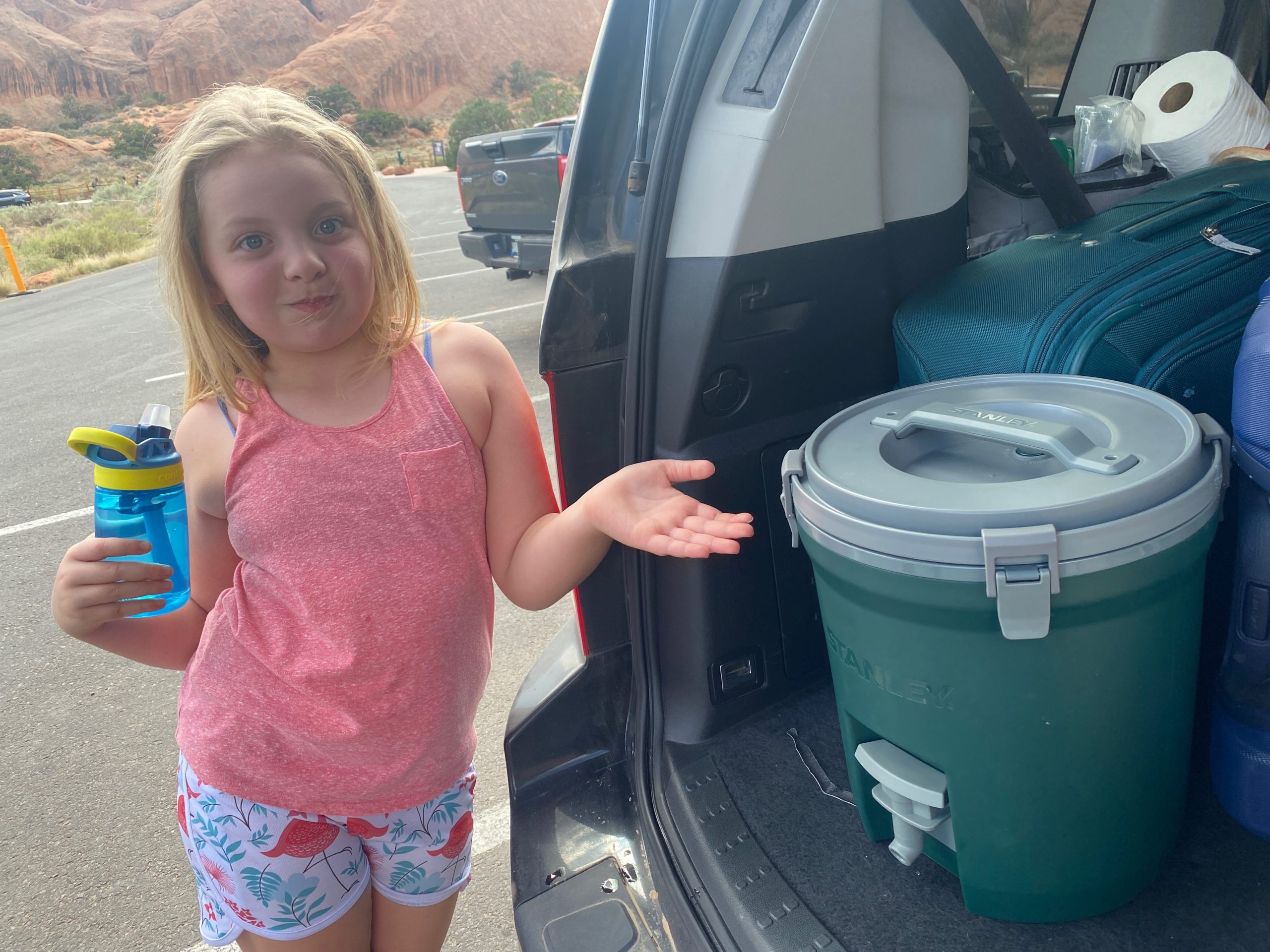
So, we filled our water bottles for like the 100th time. Seriously. I think I drank 7 liter bottles full.

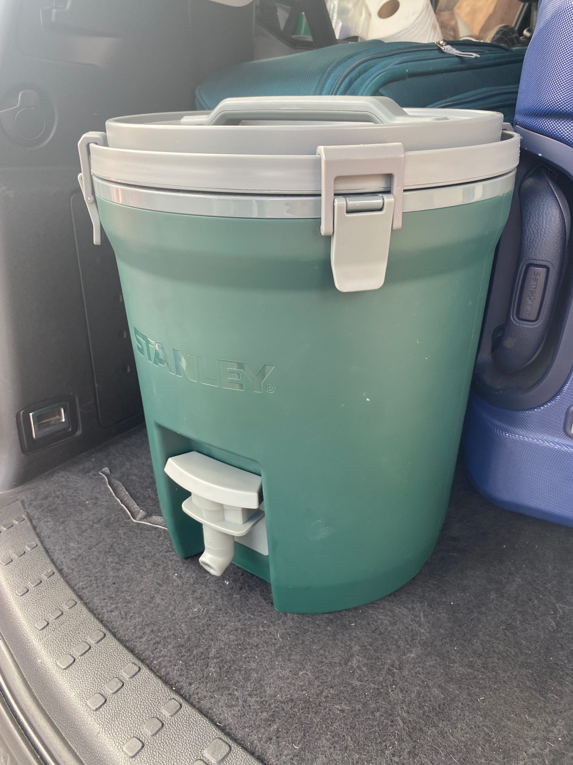
We purchased this Stanley cooler for the trip for just this sort of thing… it holds 2.5 gallons and I would highly recommend it for making sure you have enough water during the day for being out in the parks and doing any hiking. We’ve emptied it a couple days so far. We take it in the hotel every night and fill it up with ice about 2/3 and the rest with water. By the end of the next day it’s still cool but all liquid, even sitting in the hot boiling lava car. It might even still have ice if you were in a slightly cooler area.

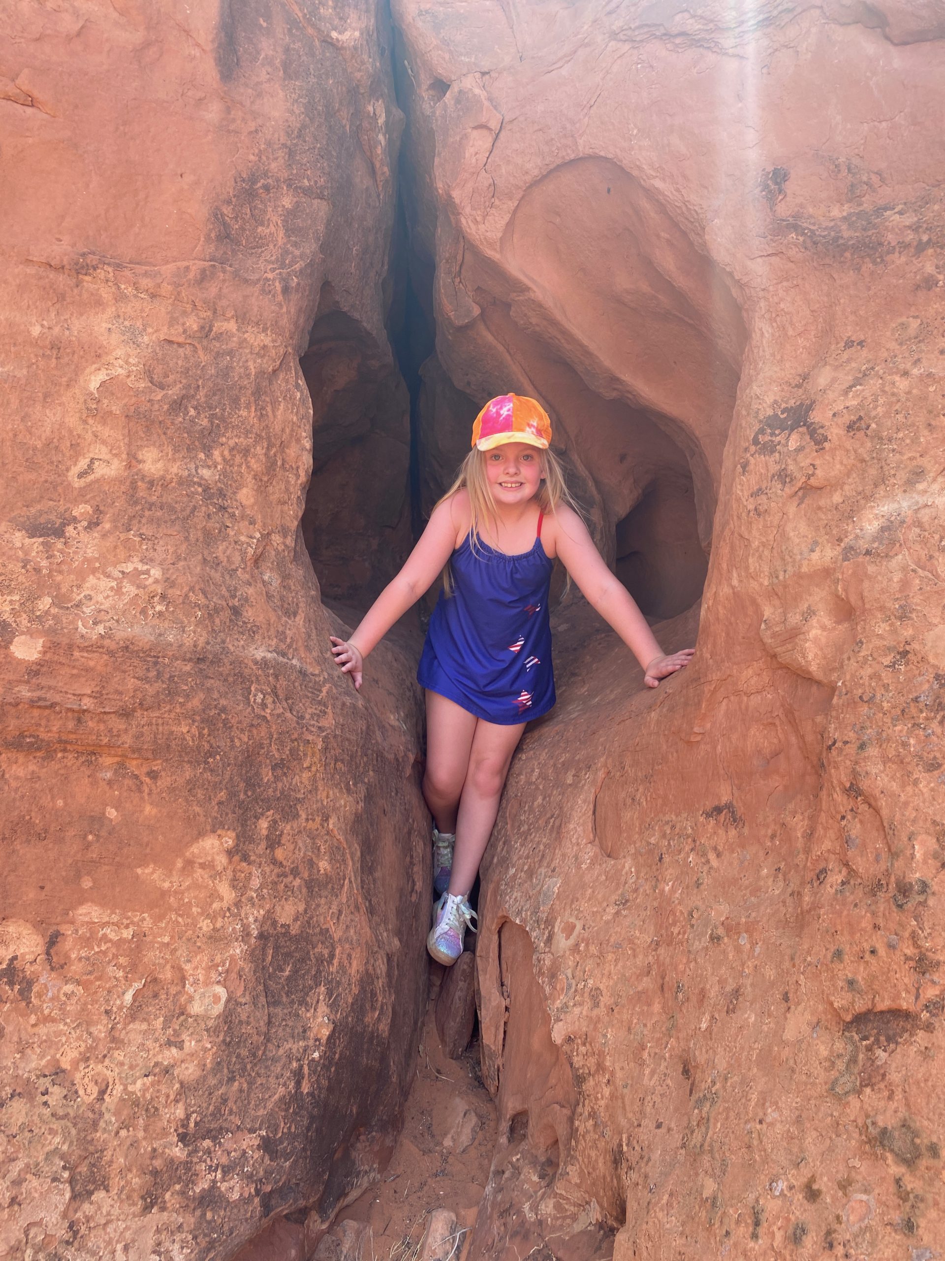
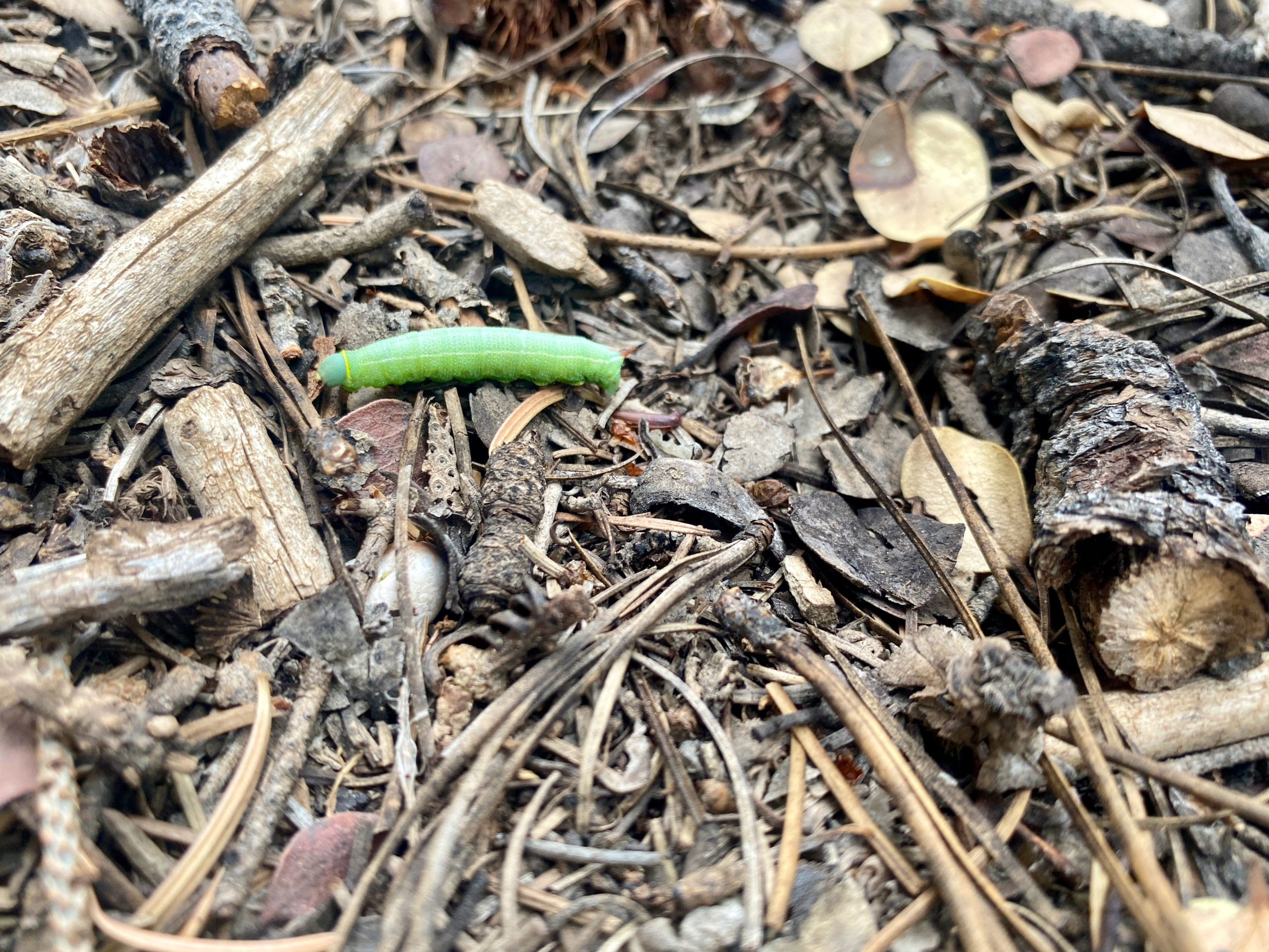
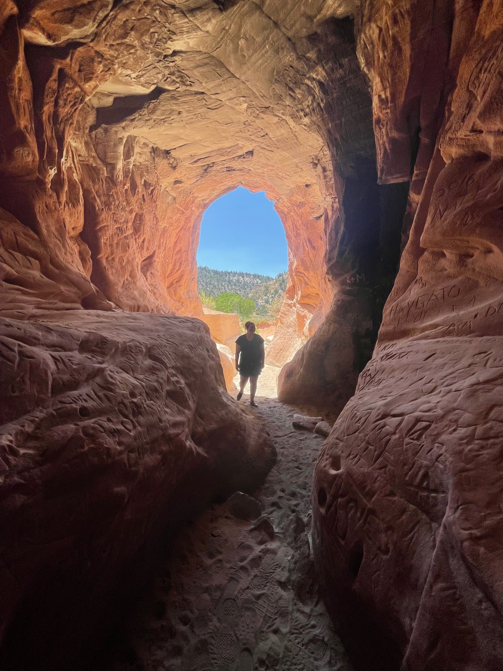
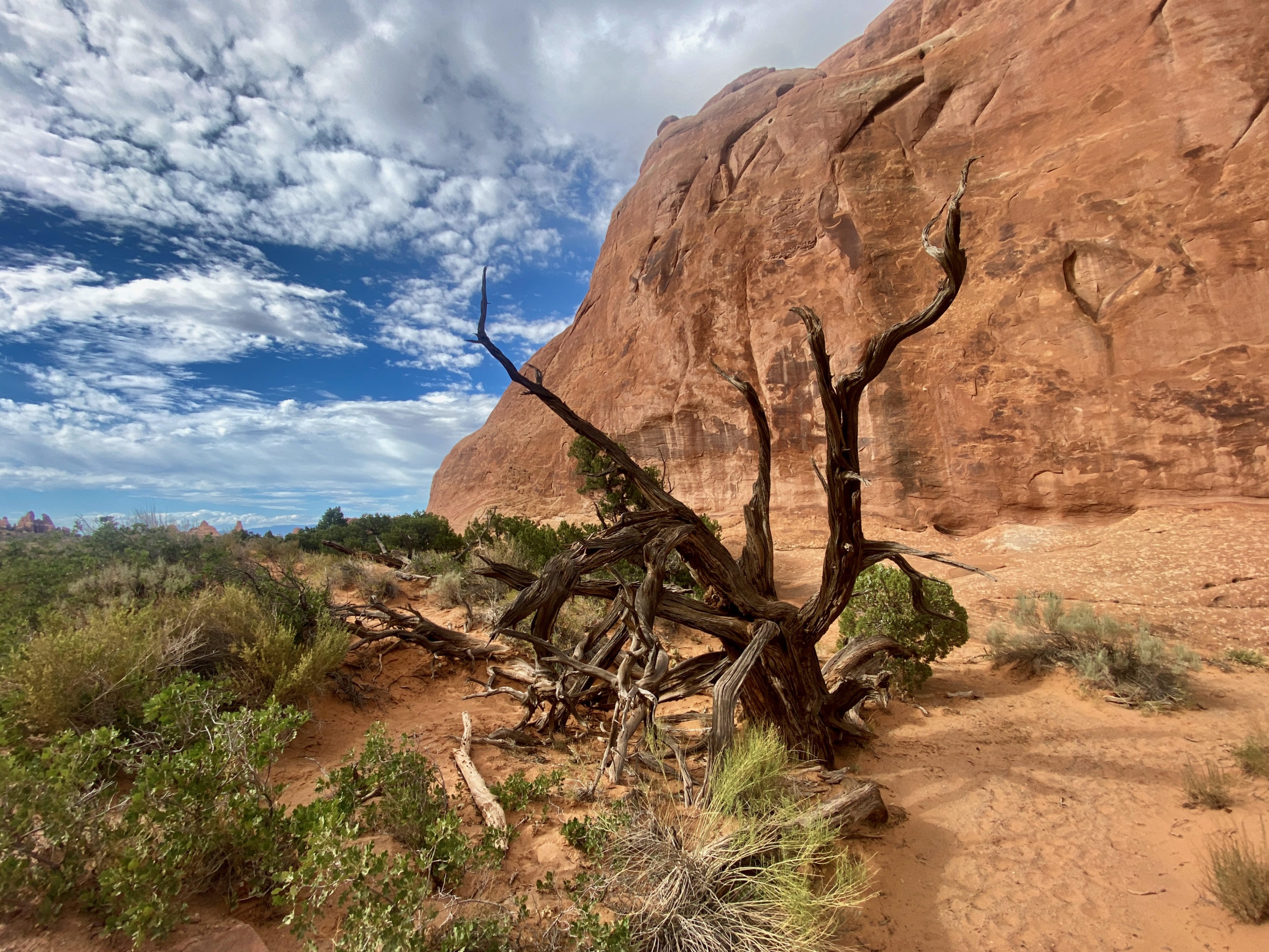
One of the first sights on this hike was a small slot canyon with a powdery sand floor.

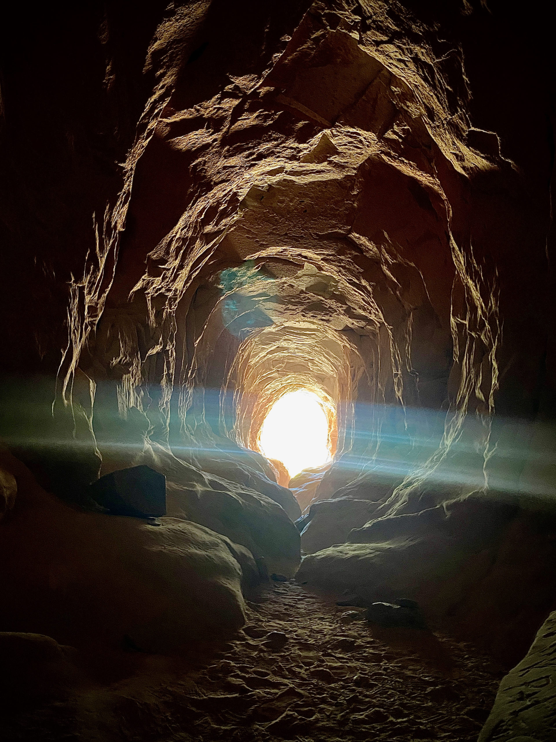
A bit into the trail, there was a cutoff for Pine Arch and Tunnel Arch, which added .8 miles or so to the total. Kegan was mouth-wide-open when I veered off to the arches. hahaha. Couldn’t believe I was voluntarily adding more hiking.

Pine Arch was well worth the steep uphill climb back to the main trail.
Tunnel arch…well, you’re only like .1 miles from it there, so might as well get it in, too.

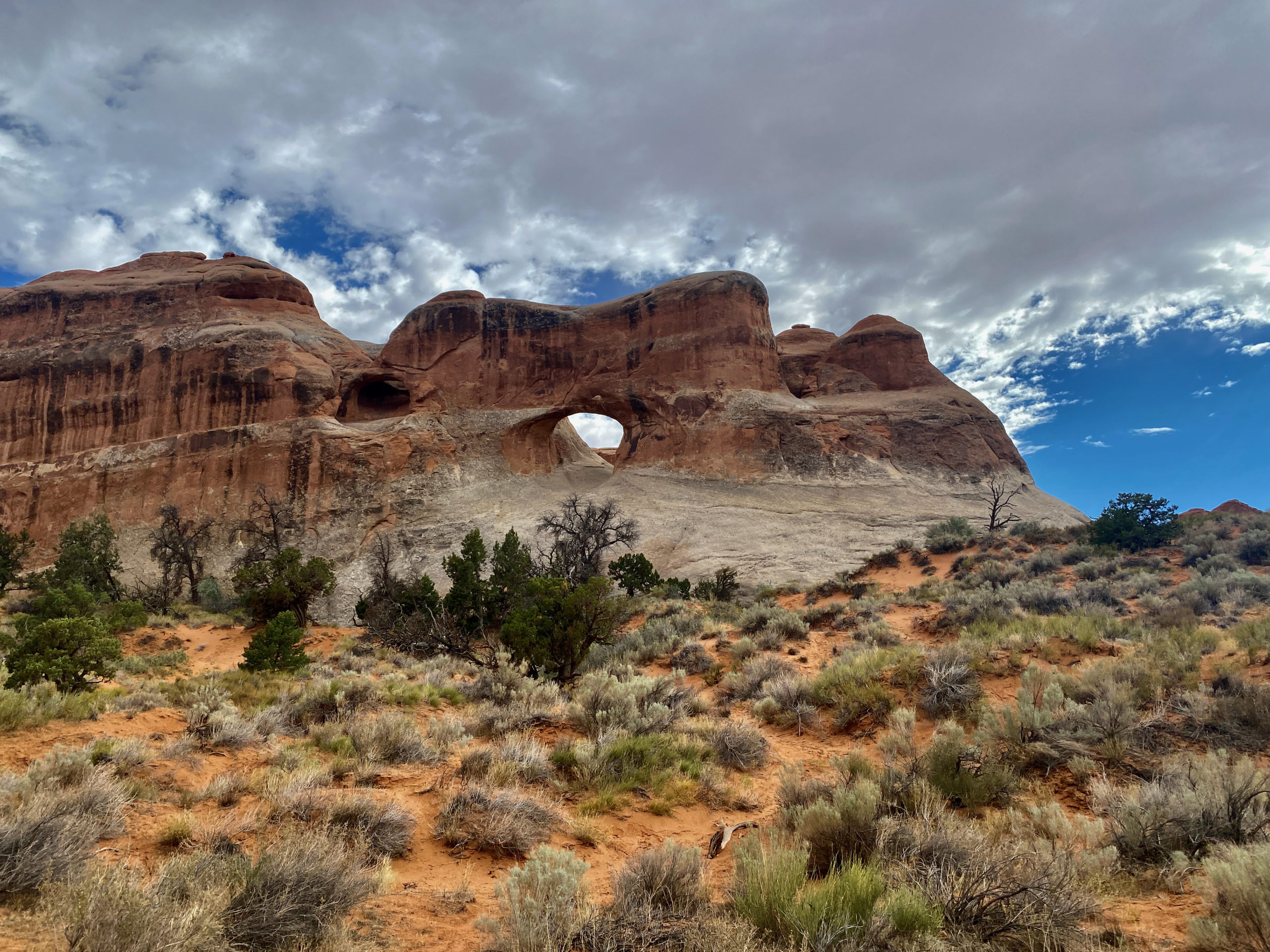
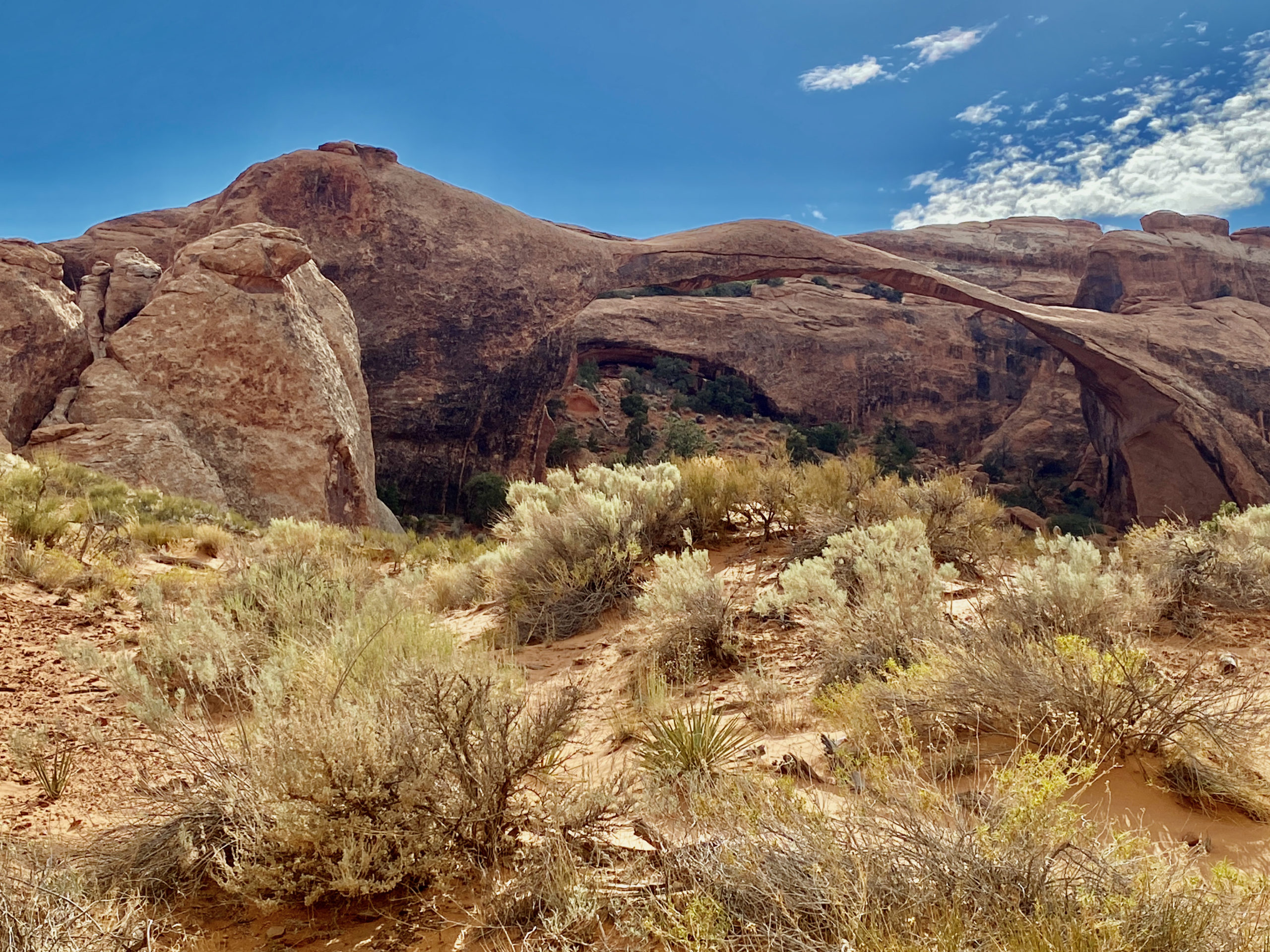
We continued the hike on back and about 2/3 of the way there, the blazing sun popped back out and that sun is brutal! The photo below of landscape arch isn’t great… the sun was shining right on my camera, so this is the only proof you get that I hiked it 🙂

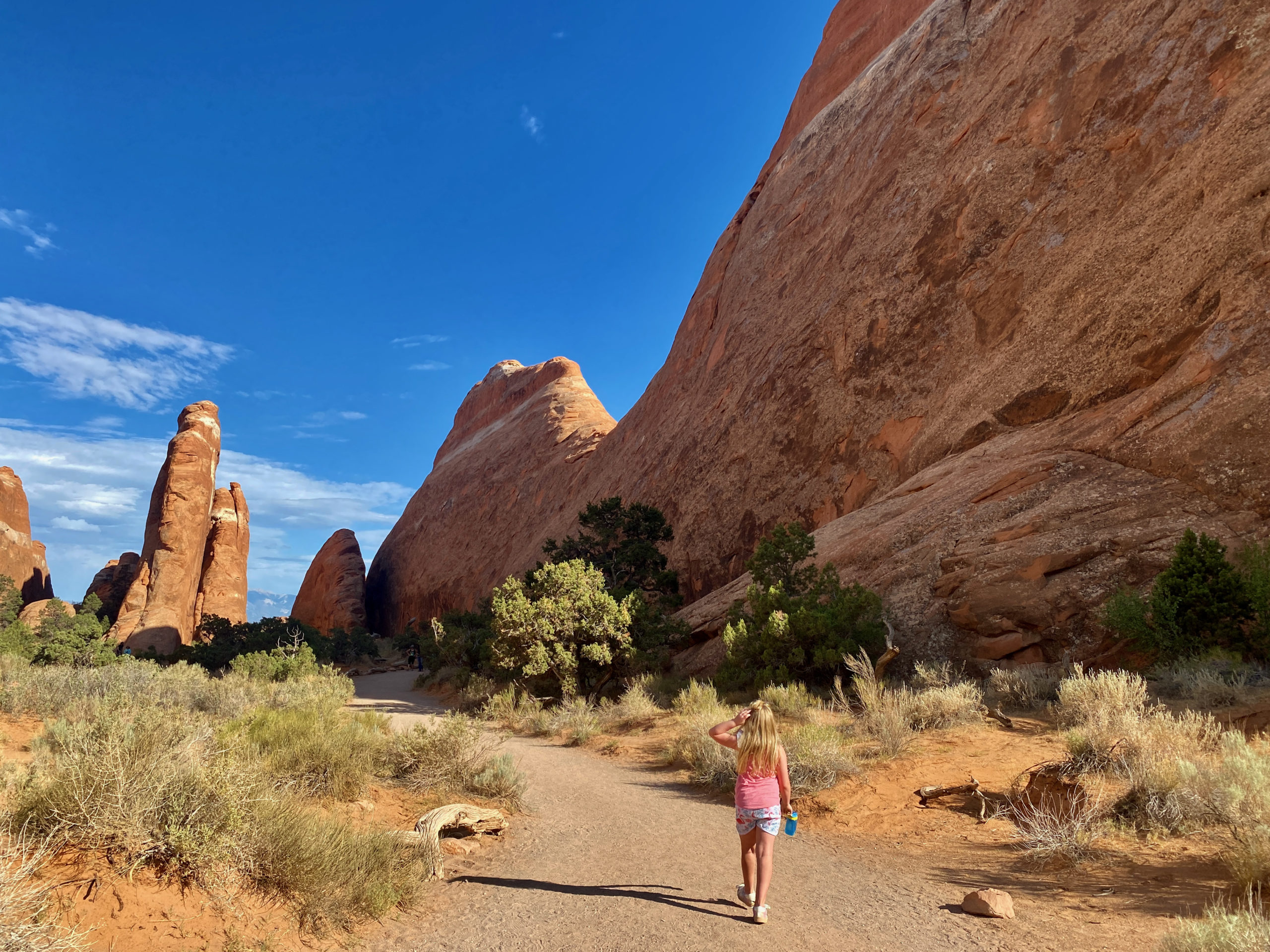
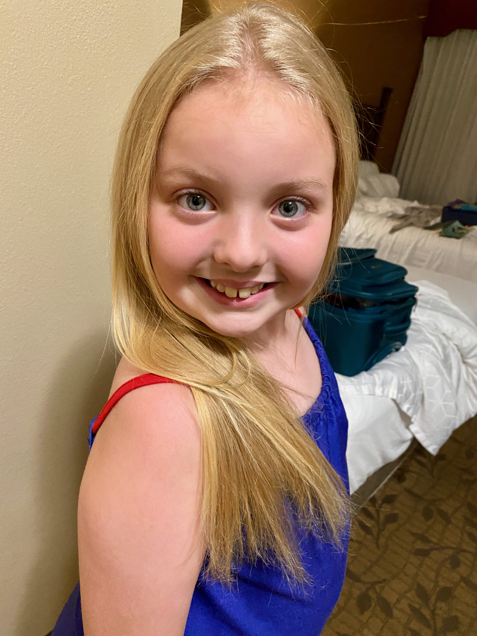
We walked back in the hot sun, putting a wet handkerchief on Norah’s neck to keep her cool. We didn’t expect it to be so hot and sunny the whole way back when we set out… so I was a little concerned about her making it back. She was pretty red and I knew I was hating life, so we shaded her and kept her in rock shadows where we could and Kegan saved some of his water bottle back to keep wetting her down. He’s a good daddy 🙂 She did better than I did in the end. ha My hiking day was done. Arches were no longer worth it today and our water jog was empty. Time to pack it in! ha

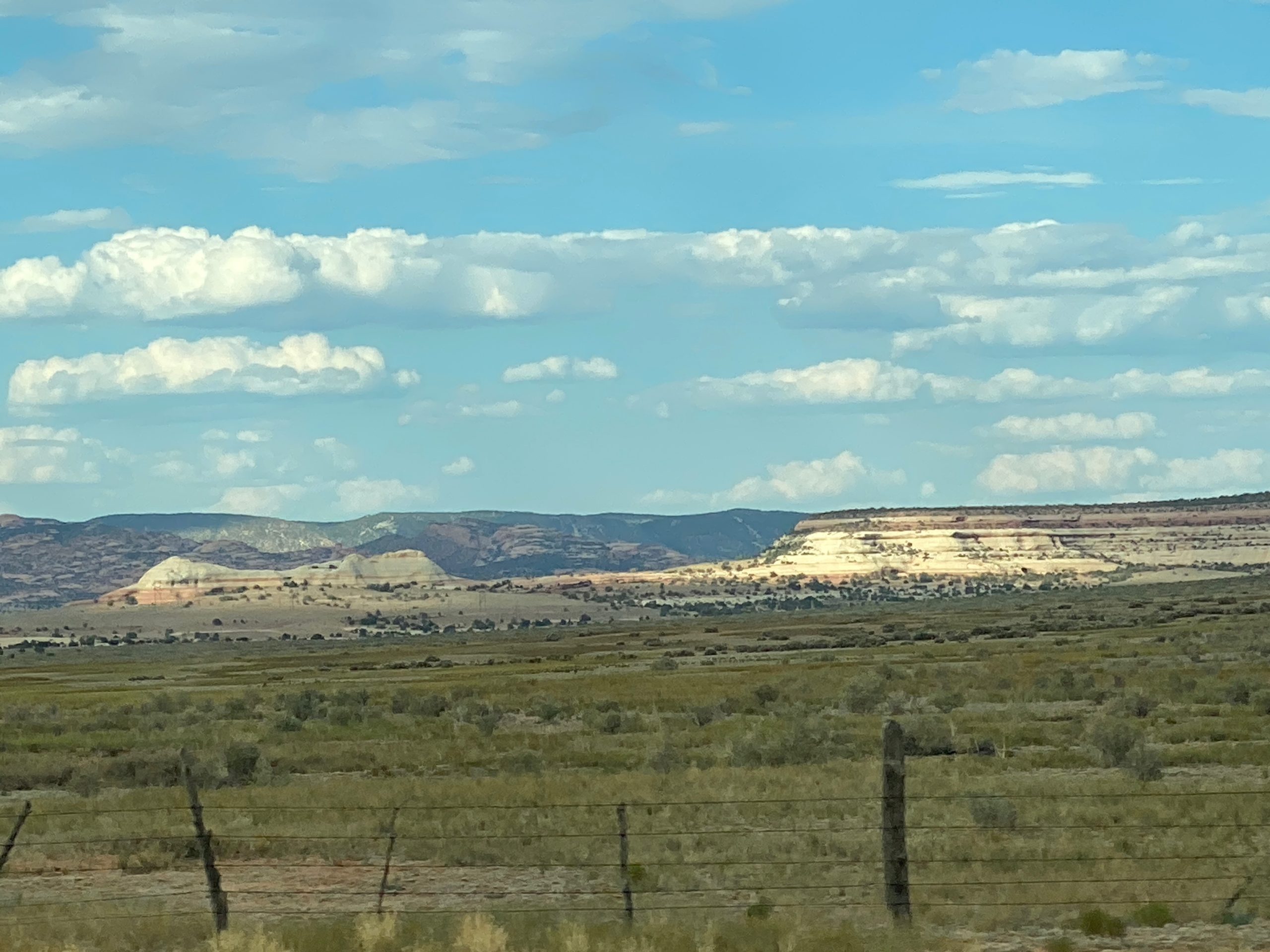
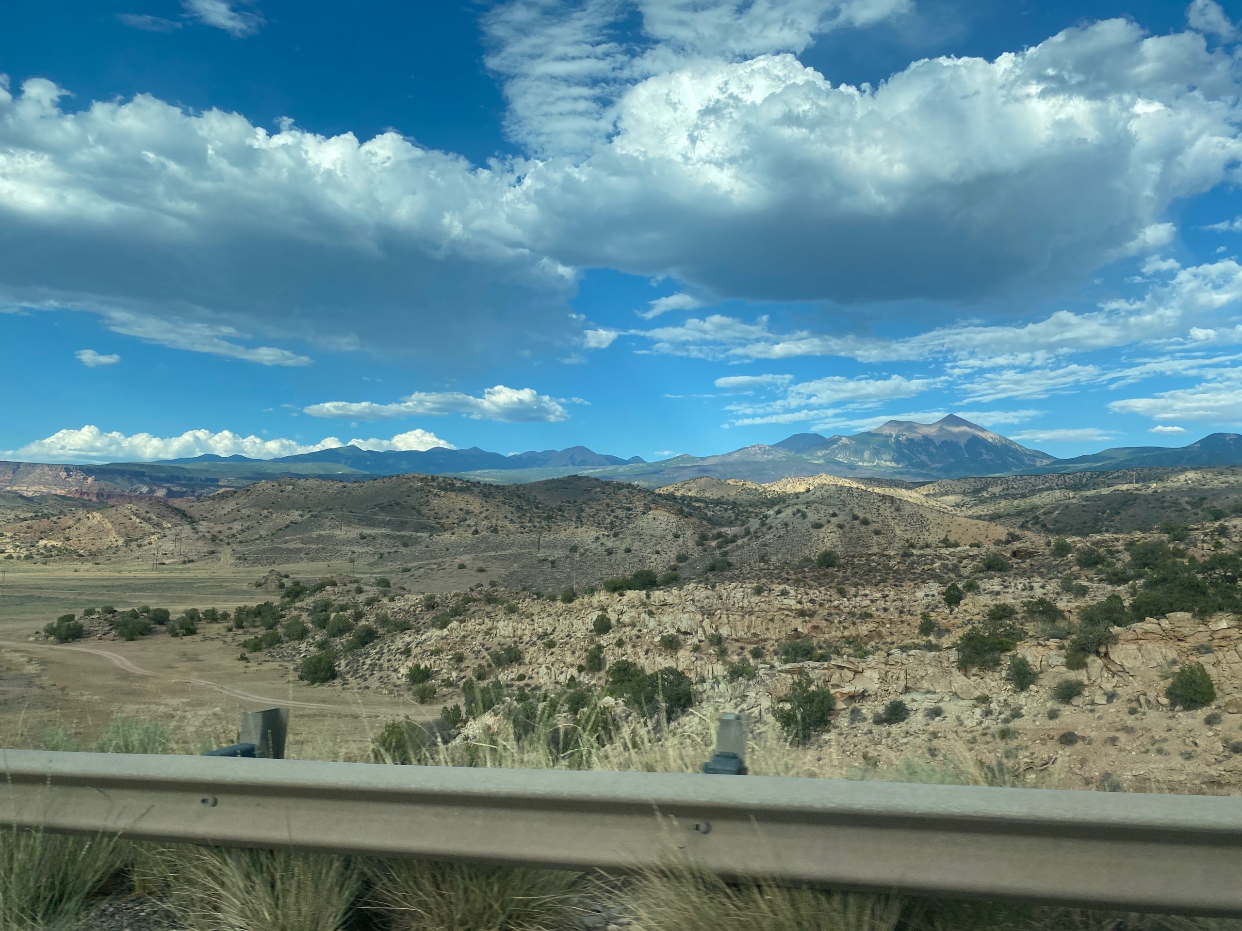
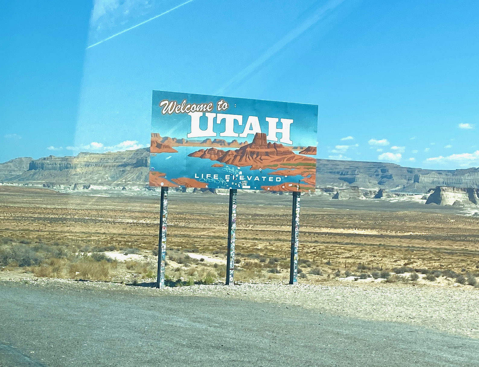
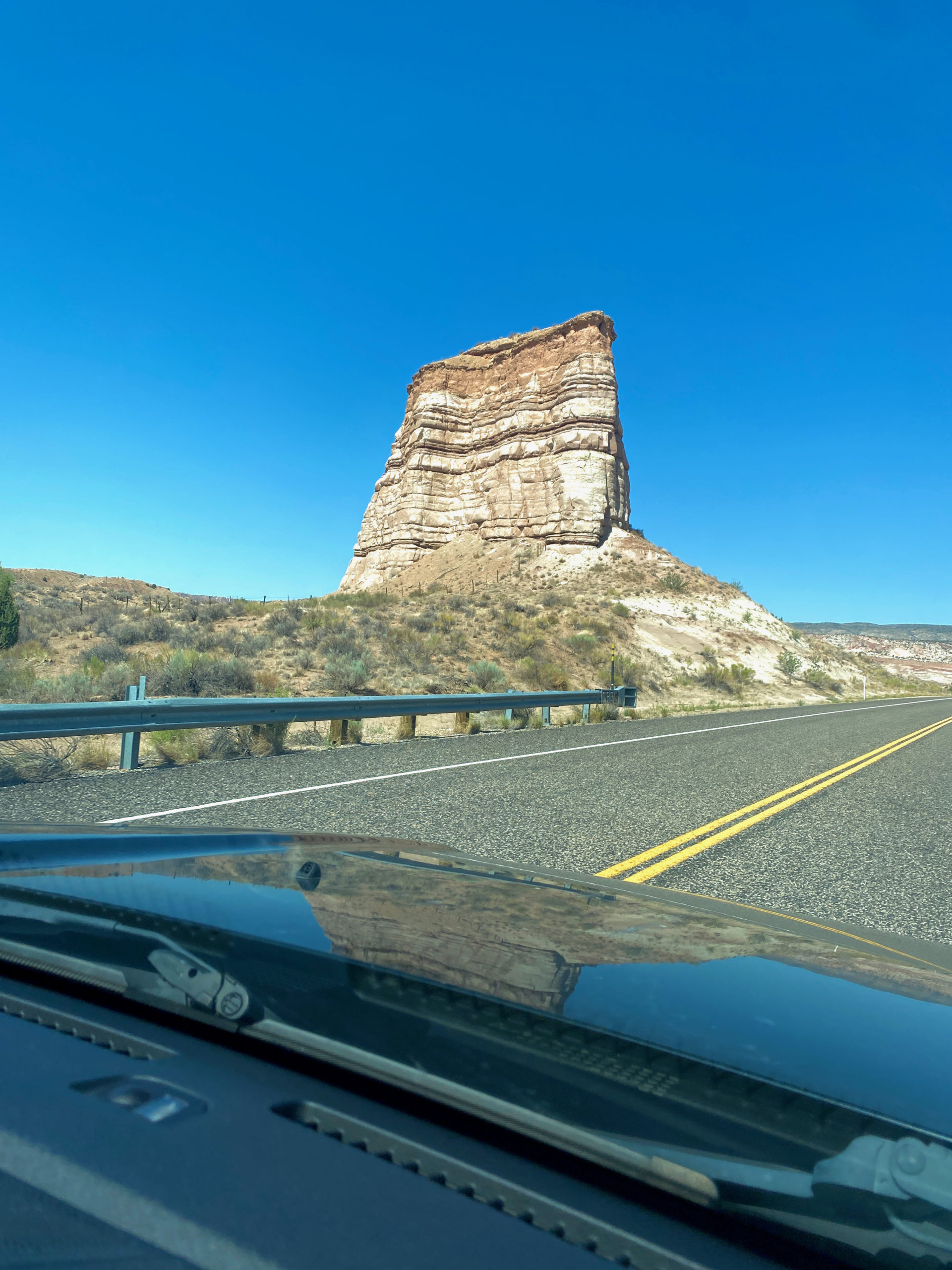
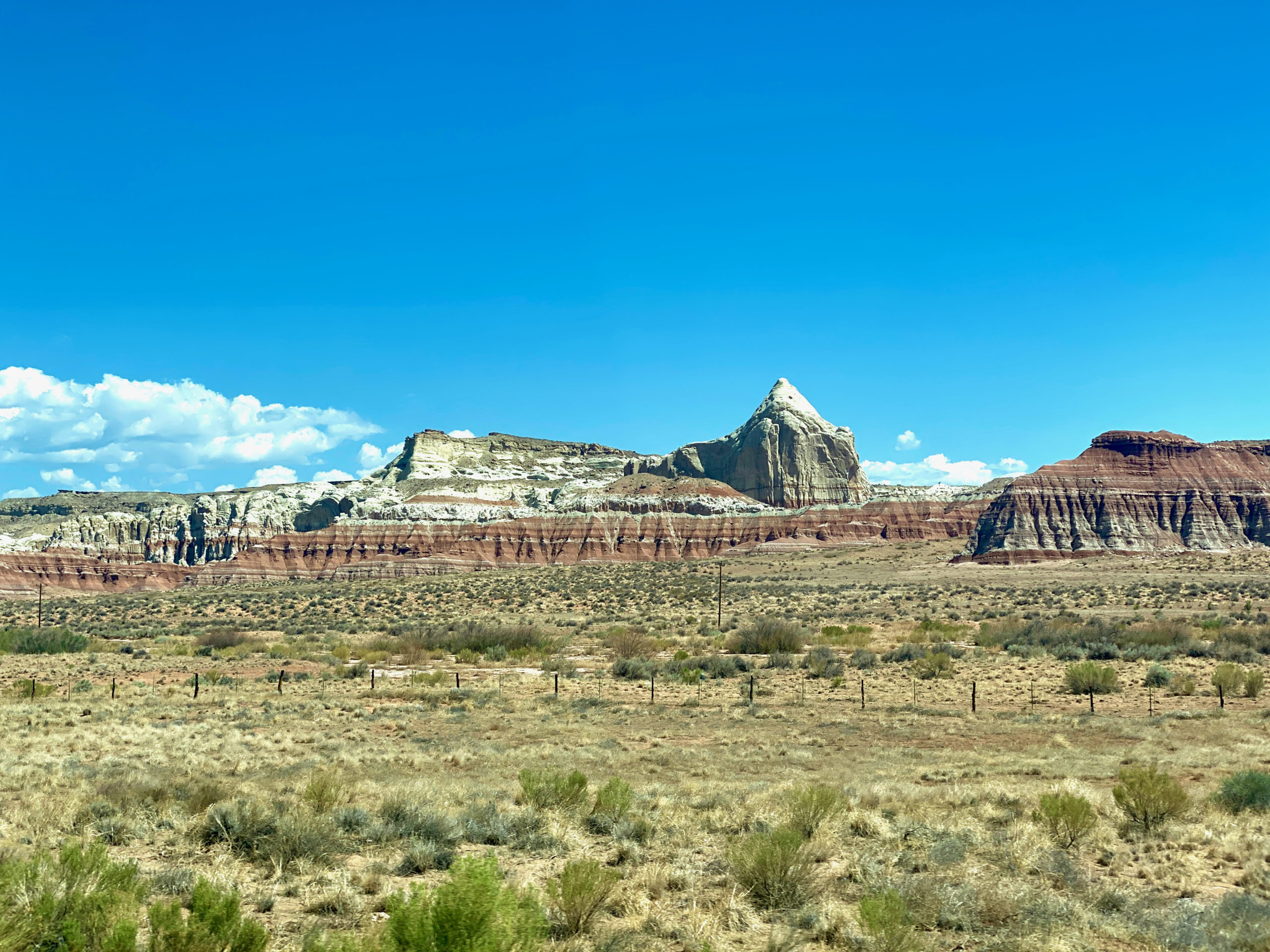
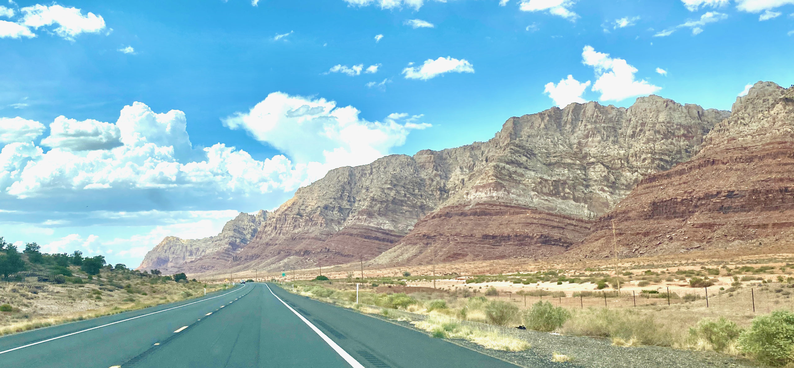
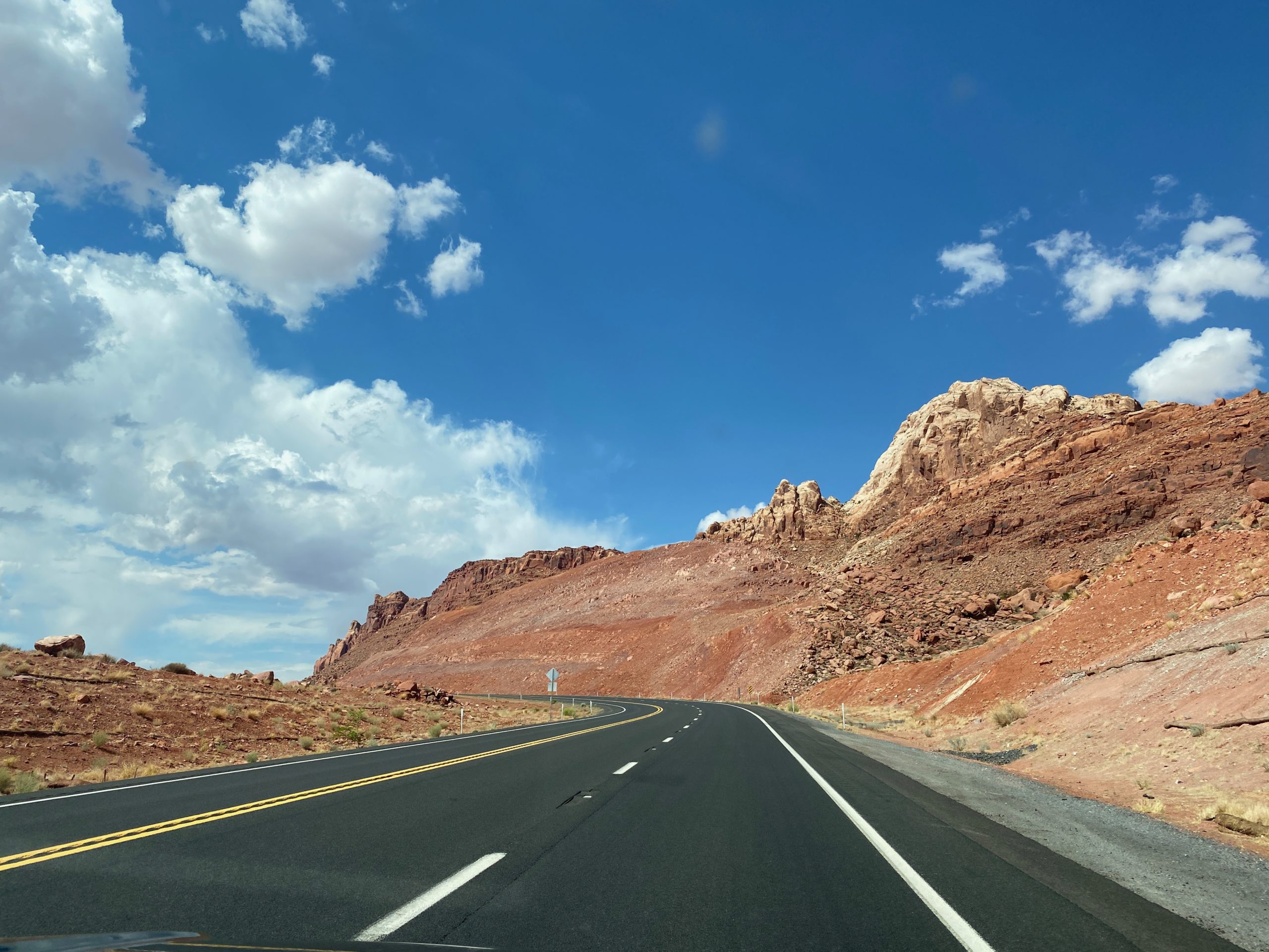
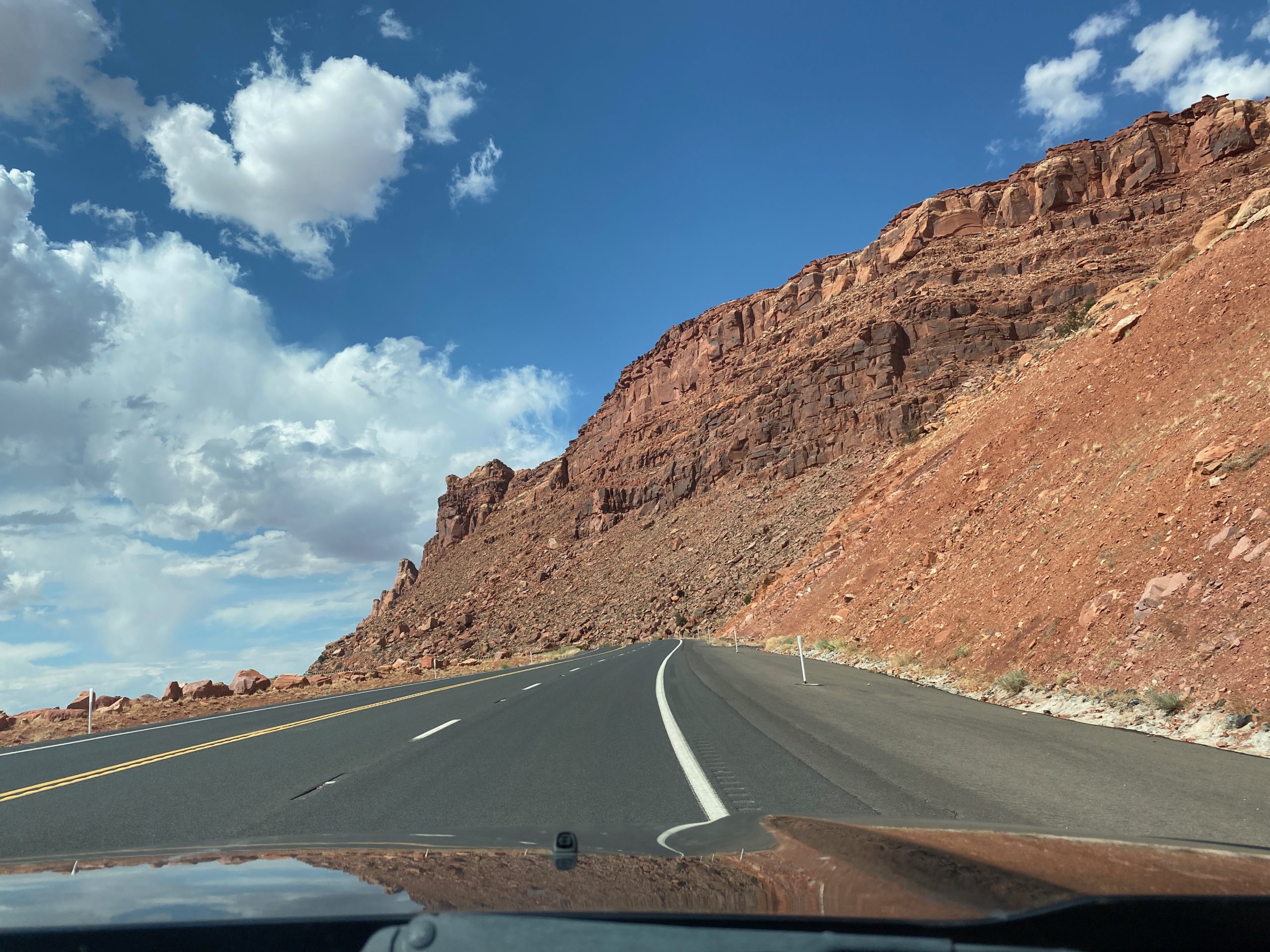
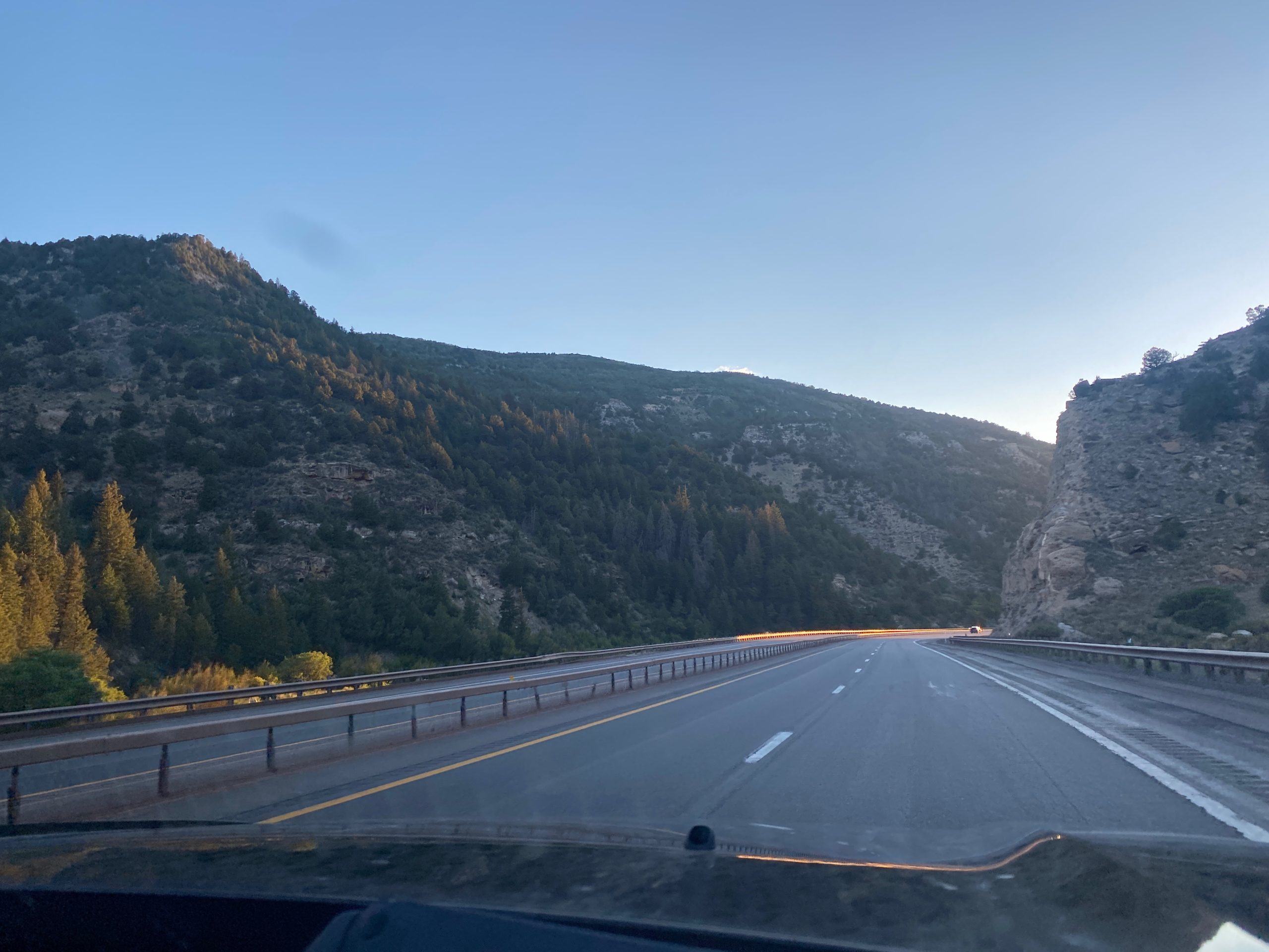
After leaving Arches, it was just a boring 3 hour drive across Utah to get us closer to Vegas for tomorrow! A fun little 3 day detour from national parks and hiking to lights, sounds, food and ridiculousness. 🙂

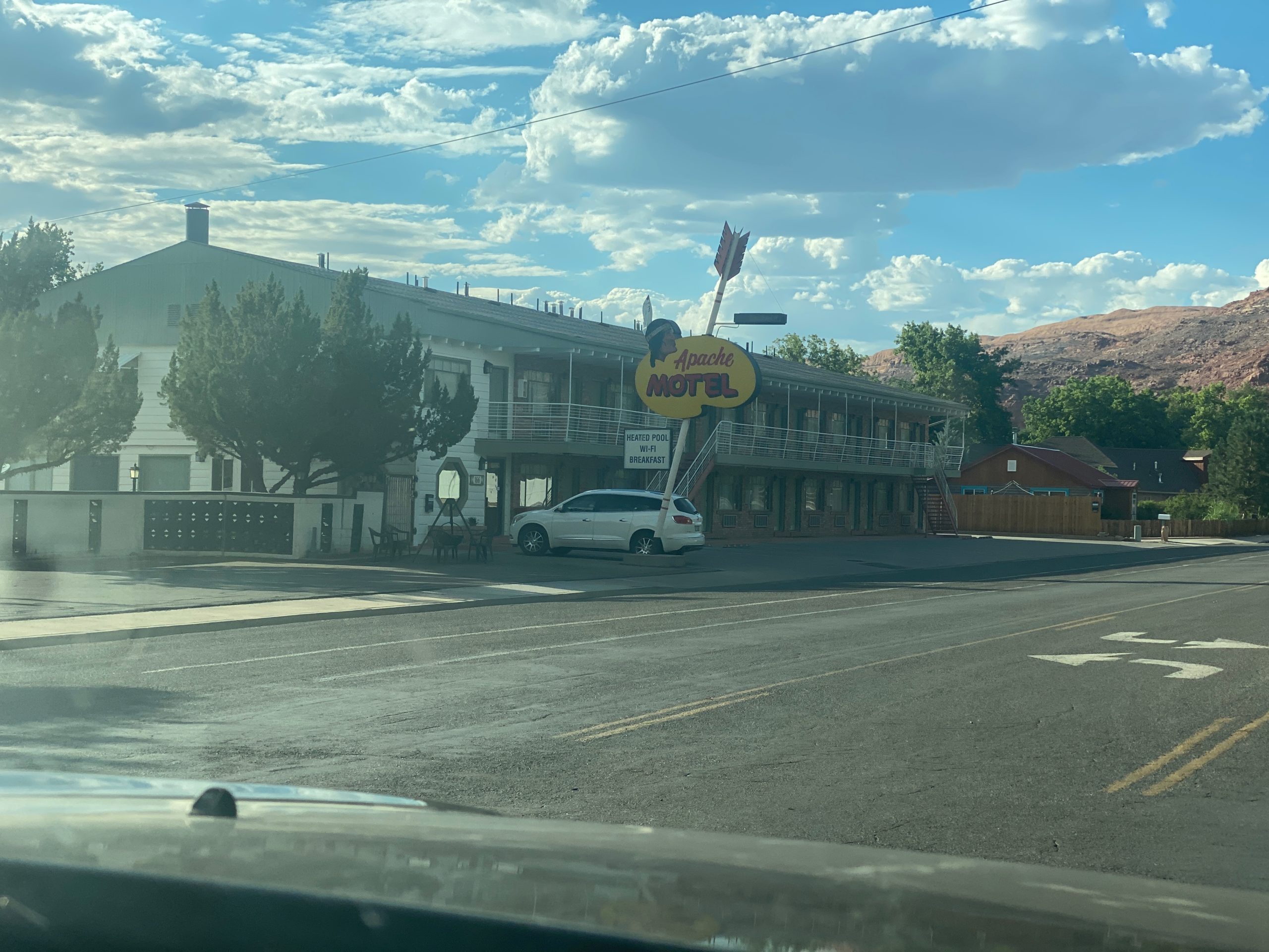
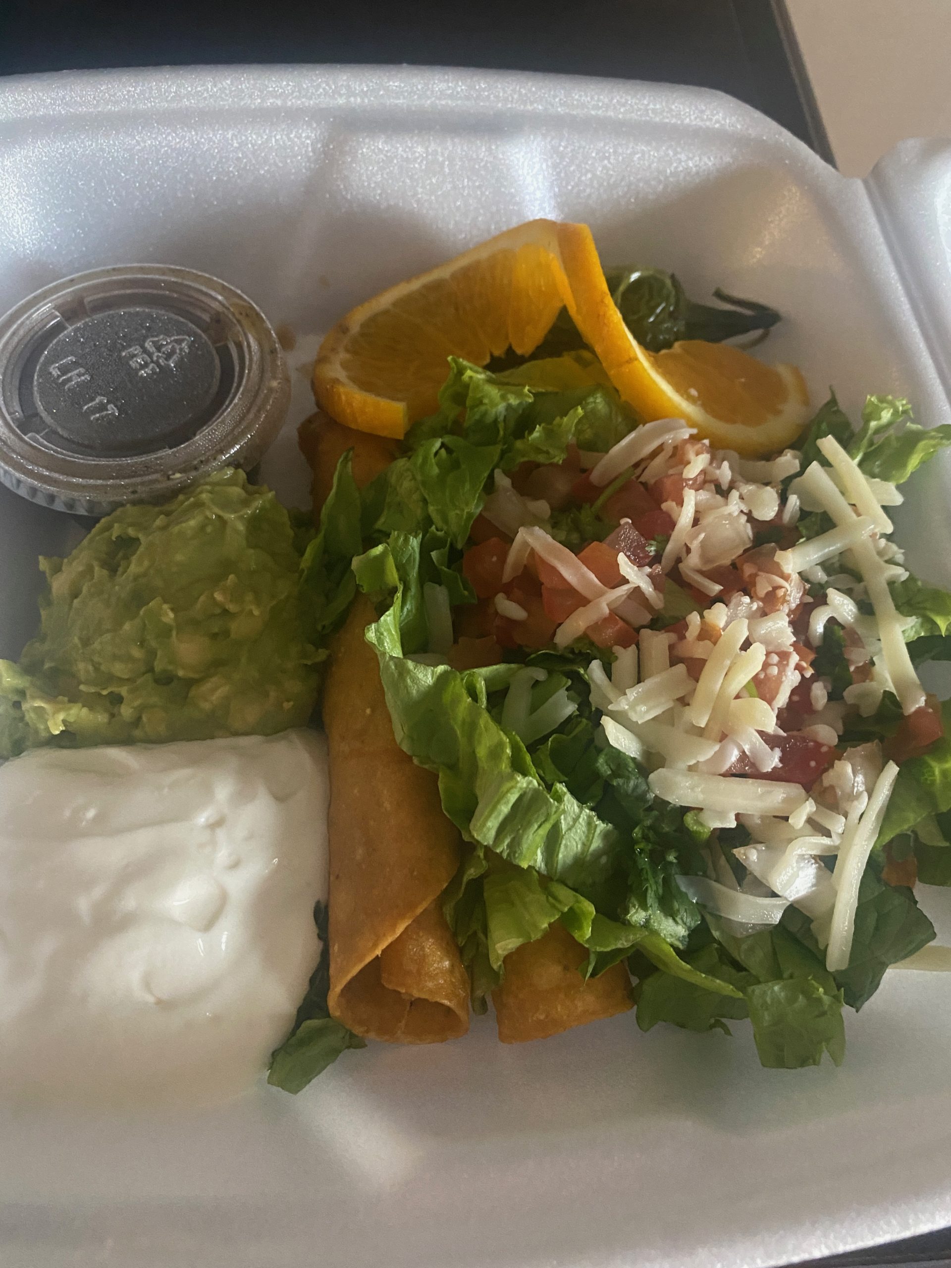
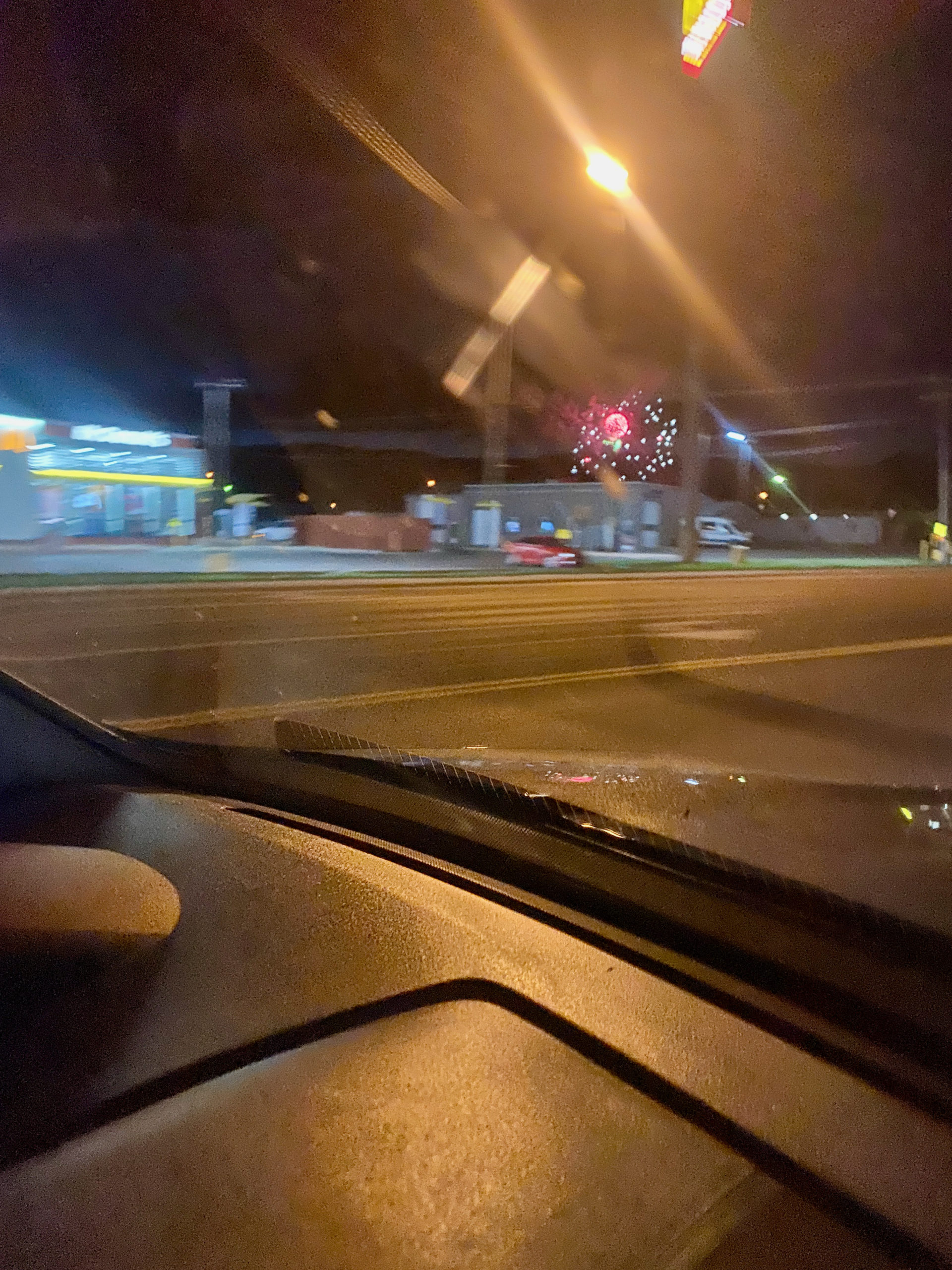
We got to Richfield after dark and the town was setting off their July 4th fireworks on July 5th, so Norah watched them from the Walmart parking lot while Kegan ran in for some random supplies. We had salads from Wendy’s. Which-by the way, if you haven’t tried the Southwest Chicken Salad they have with southwest ranch and a big dollop of guacamole, it was really good!

I’m going to wait and combine all 3 days of Vegas into one post, so it may be a couple days before I post again!

Day 10 – Monument Valley to Moab, Utah

Today we left fairly early from our Zion hotel headed back East towards Monument Valley- a 4 hour drive. We passed cool formations and desert rocks along the way, but most of the drive we had already done on previous days.

Our first glimpse of Monument Valley

Monument Valley is actually a Navajo Tribal Park on the Navajo Nation (reservation land). It was used by director John Ford for so many of his Western films, that this area and these buttes and mesas are synonymous with “the West” as we think about it. John Wayne movies like The Searchers, Stagecoach, She Wore a Yellow Ribbon… Sergio Leon’s 1967 Once Upon a Time in the West, Easy Rider with Dennis Hopper, even new movies like Transformers and shows like HBO’s Westworld are filmed here. It’s an iconic landscape. The most well-known Monument Valley shots in a film are probably the end of Forrest Gump’s cross country run. There is even a sign along the highway to show you the spot!

Can’t you just picture Tom Hanks as Forrest Gump standing here? “I’m pretty tired. I think I’ll go home now”

It was what I was most looking forward to on this trip to be honest. But… its still closed. All Navajo lands are still closed to visitors. The council passed a resolution to open back up on July 2nd- but it isn’t in effect until the President signs it… so we were waiting every day up to July 4th waiting for his signature. He has 10 days to sign it… so the latest they will open is July 12th. But that didn’t help me. ha I am positive the president was waiting for the busy holiday weekend to pass before signing. I expect it July 7th. That’s OK. We could see a lot of the Monuments from the highway and if the leadership of the Navajo think it needed to wait, then we’ll wait. It didn’t stop us from taking some awesome FREEDOM pictures in front of the monuments.

(The irony of taking American Independence photos in front of an Indian reservation while wearing a British Colony Tshirt was not lost on us and I’m incredibly disappointed no one mentioned either.) haha

We continued on past the monuments into nothingness for a bit to see Mexican Hat Rock before our scheduled guided tour.

We had booked a Monument Valley Tribal Tour with a Navajo guide for today…but with the park closure, we were playing it by ear for what we would be able to see. The owner called me a couple days before so see if we still wanted to do an alternate tour or cancel if we couldn’t do the 17 mile loop through the park… we elected to keep it. I wanted to be able to talk to and ask questions of someone Native American who lives on the reservation. We arrived at the campground and parked but there was no one around… except some horses that came to say hello.

Turns out our guide was in the campground office where they had air conditioning instead of her little shed building and had taken a nap and didn’t see us pull in. ha I’d take a nap, too. It was hot.

We piled into the safari truck (private tour- just the 3 of us) and we decided we’d go back through town out a sand dune road to Teardrop arch and get some higher views of the Valley.

Our guide was great. Sweet, sweet lady. Reminded me a lot of my Mom’s mom. About 4’10”, Soft spoken but very nice.
She kicked it into 4 wheel drive and got us through some fairly deep dunes. Kegan and I both said we would not have been comfortable doing the drive out here in the Honda.
We left the truck and started hiking up to some viewpoints and the arch

As we got towards the top she said “OK, give me your phone. You stand here, then run around, then stand here, then run around me again”… we were a little confused, but finally figured out what she was saying. She was going to get a cool panorama of us. Grandma had photo tricks!

We walked around to the “arch”- which arch is a stretch, but still a great alternative to not going on a tour.

After we explored and were walking back, I told her I wanted to know more about Native American Culture and her experiences. She started by saying she grew up in a Hogan (the Native round homes or earth and wood). She lived there with her grandmother. No electricity or Televsion of course in the Hogan. Her grandmother would wake them up after 3-4 hours of sleep and make them go run 1-2 miles immediately after taking their sheepskins outside and hanging them up. She said this kept them strong so they didnt get weak. (This seems to be a theme since Native Americans were forced onto reservations- they believe that being in one place makes you weak and fat.)

She also told us also that her grandmother would make all of the children vomit bile in the mornings because it would keep them from getting gallstones. She still says this works because she doesn’t have gallstones today.

She also explained the Juniper Trees and how her culture would use every part of the tree. The big trunks would become pillars for the hogans. The small branches for firewood. The bark would be used for insulation between the logs and for fire starter. The berries would be used to dye sheepskin blue. The greenery would be made into tea or burned to kill toxins and virus in the air. She said a lot of Navajo have been burning the juniper in their houses with Covid. Then then use the ashes to mix in with the blue corn masa to give it an extra flavor. I really wanted some of her cooking 🙂

Juniper berries not ripe yet.

She talked about how the youth today- it was all electronics. No one wanted to herd sheep anymore. All they want to do was live in a trailer, not a hogan and be lazy. They cant wait to leave the reservation to go to a bigger city. They are losing their culture and their language. She told us that with their culture, you take care of you elders, but even that is going away. She says her father in law, no one cooks for him now that his wife is gone or brings him leftovers except her. She says that it used to be that you stopped by to see people- now you have to call or text. To her, someone should always be welcome anytime and you should always have food to cook for them. She said now, people don’t even cook for others when they stop by!

I was seeing a lot of parallels to rural American farm culture. I don’t think what she is experiencing is unique to the native american experience. I think it’s just that the native culture and good hardworking midwestern culture are a lot alike. Treat each other well, be hospitable, take care of your elders, participate in your community and help the greater good. Basically respect things and people around you and be a good person…and we seem to be losing that all around.

It was a great tour and a couple great hours to speak with a Navajo elder woman who had such ties to traditional Navajo practices. She told us about the clans and that they all had a special greeting that was shared between them that is passed down to each generation, but that nowadays a lot of people don’t even use the greetings. She drove us back and we parted ways. I would totally recommend that tour company. I think it’s just a husband and wife, but I could be wrong.

I was hot and a little burnt after two hours out in the desert.

We headed on North further into Utah and passed this big beehive rock with a hole in the bottom like it was a giant beehive! and the road signs all have the highway numbers in a beehive emblem… so we thought “this must be THE BEEHIVE! What is this thing??” nope. Wrong. This rock was nothing. ha It’s a big huge rock that has weathered like a beehive. They blew up a hole in the bottom to look like a beehive because they needed a place to store salt licks and food for the cows. ha Its privately owned. BUT, we did find out that Utah is the Beehive State.

The beehive is a symbol of hardwork and industry and was chosen as the state emblem in 1848.

We went to the south edges of Canyonlands National Park to visit the true Newspaper Rock in Monticello, Utah.

I really find the petroglyphs cool. I find it even more interesting that we don’t even know what most of these things mean! and that 1500 years ago people were walking through these same areas (that I can hardly drive through with the windows down its so hot… guzzling water bottle after water bottle from my insulated cooler! ha) and left these symbols of stories, trophies, words of warning…who knows. I think it’s amazing.

We think these are flying squirrels. But I warn you, we are not biologists. Do flying squirrels exist in the US? ha **Sidenote- Kegan is a biologist. He says yes they are and they are around Freetown
We passed Wilson Arch along the highway. Our first tue “arch” in the area.

As we came into Moab, we passed Hole ‘N the Rock- a famous tourist spot where a family carved out a 5,000 square foot house into that rock hillside! They were already closed or we totally would have went.

Apache Motel in Moab that we passed that made my kitschy little midcentury heart smile.

We got dinner from a great little Mexican place called Miguel’s Baja Grill in Moab, but I’m pretty sure it was my favorite meal of the trip so far.

Shrimp Salad with avocado
Baby Clams with a clarified garlic butter.
Bacon wrapped scallops (slightly disappointed there were only 3, but they were delicious)
Norah’s flautas.

Tomorrow we’ll explore more around Moab and do Arches National Park.

Day 9 – Bryce Canyon National Park and Parowan Petroglyphs

Today was original supposed to be Zion National Park, at least a couple small trails on Zion Scenic Canyon Drive.. but with the crowds and shuttle waits they are having, it just didnt make sense to us, so we decided to take the 3 hour drive up and around the canyon over to Bryce Canyon. We know we have to come back to hike Angels Landing and The Narrows at some point in the future, so we didn’t feel like we were missing something we’ll never see. I’m sure its gorgeous, or else everyone wouldn’t be cramming into hot buses and waiting hours for the pleasure to do so!

It was a very pretty drive, just along the interstate… we passed some ghost town looking tourist trap. No idea what it is but it photographed well.

There are way fewer photos today because I was driving since its the weekend and no one is emailing me for work asking me to do things all day long or I don’t have to be calling into zoom meetings randomly on drives. Kegan has to be told “hey- get a photo of that!” ha it just doesn’t click for him to photograph things, he just enjoys them… and that fine. But, the blog looks a little different when he drives 🙂

We had a choice to continue on the interstate up and around the canyon- or cut over a mountain pass that was twisty highway and just a couple minutes longer- so we elected the mountain pass on the way there and the interstate on the way home.

The scenery changed drastically as we climbed in elevation. We entered Dixie National Forest for most of the drive.

There were tons of fields full of nothing but this black rockiness. Old lava flow fields. Thats all hardened lava that is breaking apart into chunks as it erodes.

We saw a sign for Aspen Mirror Lake… so off we went to see what that was all about!

It was a really pretty, nice and cool walk through the trees since at this point we were at 9910 feet elevation at the summit. We arrived at the lake and while it was pretty- it wasn’t a mirror and there were no Aspens around it. But a pretty mountain lake none the less.

We continued on down the other side and eventually came to our first glimpse of Bryce Canyon looking landscape- Red Canyon- part of Dixie National Forest.

Near this little rock tunnel were signed for Butch Cassidy and the Wild Bunch. Right near here there is Butch Cassidy trail that winds though a mini-Bryce canyon where the Wild Bunch used to hide out after stealing horses or other thievery. Butch Cassidy grew up less than an hour from Bryce, so these canyons were their stomping grounds for getting away from the law.

The best photo I could get of the sign with people climbing all over it to get the perfect Instagram shot to prove they came today. ha I don’t understand the pile up of cars at every entrance and exit sign waiting! Maybe it’s just me and I’m the odd one! Apparently a trip to Bryce Canyon is more meaningful and dream fulfilling that it is to me…oh well. Let people enjoy things, Erin 🙂

Our first stop was Inspiration Point for the best views of the canyon right off the bat! The Bryce Ampitheater. The largest collection of Hoodoos (rock formations) found anywhere on Earth.

This trail you see toward the top is hikeable if you want to go down in the canyon. We were lazy because we were seeing the canyon so well without hiking! so we didn’t head out there.

We continued on down about 20 miles of canyon to various pull offs and short hikes to viewpoints.

Norah was hungry for lunch when she saw the Dawg House food truck in one parking lot. So she had mini corn dogs and curly fries.
This is a view from Yovimpa Point where you can see the Grand Escalante Staircase, which really just means you can look out and see different color layers very far out since we were about 8000 ft elevation. The Vermillion Cliffs are the deep red, the White Cliffs are a different layer, there is a chocolate layer, etc… It’s just a high point that you can see the different bedrock layer, but a really nice view.
Obligatory National Park selfie!

It was time to turn is around and head back to our Zion hotel. I had tried to book us in a different town closer to Moab and Monument Valley where we head tomorrow, but they didnt have any free nights, so we elected for a 2nd night in Zion which mesnt we didnt have to pack up our stuff this morning which was so nice! but it also means an extra 2 hours of driving tomorrow to get to our destination.

Because we were passing right by a flag I marked on Google Maps, we veered off for Parowan Gap Petroglyphs. A totally “worth it” detour! There were TONS of petroglyphs everywhere in this natural pass. They think some of these are from 500 AD.

Looks like someone died here in 1939.
I was impressed we could walk right up to so many of the rocks. Because if you can access it, someone will destroy it- human law.

We headed towards Kanarraville to hike to a waterfall, but Kegan actually read on Google you needed to be a nimble hiker and there were ropes and tree ladders to get you there. Yeah…thats not me..or Norah. ha So maybe a future trip.

We completed our drive back to the town of Springdale, UT

We chose a restaurant called Bit and Spur across the street from the hotel that was pretty good!

Stuffed Jalepenos
Grilled shishito peppers
Beef Satay skewers
Kegan had sweet potato tamales with pork and mushrooms.
A couple prickly pear margaritas were the special drink of the night- Kegan has to order prickly pear anything that is available. We currently have prickly pear gummy bears in the console of the car. ha

Finished dinner and back to our room for showers and packing up. Norah took a bath and then asked if we could go get her hair straightened sometime again soon. Kegan’s cousin Christy has a salon that I go to and she straightened Norah’s hair once and she hasn’t stopped talking about it since. ha So… we discussed and I thought, well- if it will ever stray straight, the desert is the place to do it, so we had impromptu hair day and I blowdried and straightened those gorgeous curls.

She was thrilled. Couldn’t stop looking at herself in the mirror and posing. She said now she was like one of those Instragram girls! (I dont know which girls…but basically the imitation part of growing up has apparently begun) So, if you see Norah, make sure you tell her how beautiful her curls are. ha This straightening thing is way too much effort and time for her to think this looks better. ha But, I was happy to make her so happy. Its a nice treat for her to have something special that makes her obviously feel beautiful.

Tomorrow, we’re backtracking to Lake Powell area early in the morning and then headed for Monument Valley, ending in Moab, UT.

Day 8- Lake Powell, Arizona to Zion National Park, Utah

This morning was sort of a choose your own adventure trek across Utah to reach Zion. A lot of this area we were crossing is either Navajo land, still closed for Covid (Our initial plan was a guided tour to Upper Antelope Slot Canyon… but its still off limits) or its Bureau of Land Management land at Vermillion Cliffs National Monument and all the sites are permit only hikes. I applied for the lottery to hike “The Wave” a couple months ago, but we didn’t win that one- which is likely good. I needed a couple more days to adjust to this heat and being outside. A 7-8 mile each way all day hike would have probably been a terrible decision. So, we just stopped at a couple things as we found them. First was the Glen Canyon Dam. We parked and walked back on a pedestrian path over a HUGE bridge that spanned this canyon. No idea about this dam at all…but it was cool to see from that far up!

Our next pull off scenic spot gave us views of Lake Powell. If I would have been planning ahead when Antelope canyon was still closed, I should have booked us a morning boat charter out on Lake Powell. You can take a boat about up the lake and reach Rainbow Arch from the lake with a half mile hike! Its a 9 mile hike from the trailhead by land! But, alas, I didn’t think far enough ahead until I was sitting here looking at the lake and all the boats on it. Next trip 🙂

We crossed the state law into Utah where we’ll be for the next few days.

We stopped in Kanab to get lunch and we visited this Little Hollywood Museum and Trading Post.

They have a lot of old sets and props from very old Hollywood films. 1940’s mostly. They do have a barn or something that was used in The Outlaw Josey Wales, but that was the only film I recognized as we walked through…and I’m pretty good with my Westerns.

On up the road, we hit up Moqui Cave.

A sandstone cave that was purchased and outfitted by a very unique man Garth Chamberlain. He played pro football for The Steelers in 1945-46, he was a master woodcarver, he collected fossils, dinosaur tracks… total jack of all trades, into a little bit of everything. (I can totally relate to this guy). So, Garth decides to buy this cave full of trash and campfire remnants in 1951. He fixes it up and he puts in a nice dark cool bar in one part. Would have been an amazing escape from the heat in the Summer! And in another deeper part, he put a Dance hall.

The bar had inlaid stones with epoxy over them. Apparently John Wayne, Roy Rogers, Ronald Reagan have all drank in this bar back when it was open.

The eccentric original owner of the cave. It still belongs to his family- we spoke with his grandaughter!
The entrance to the old dance hall, which now houses a museum display of fossils and fluorescent minerals.
I learned something here! I have seen Crinoid fossils a lot over the years, but i never realized that the pieces we find are just pieces of stem of a much bigger plant- a sea fern basically!
a FULL crinoid fossil imprint, not just the stem pieces we usually find!
A blacklight scale model of the entire Bryce Canyon. This guy was out there, but I like it. ha
The fluorescent mineral exhibit.
The gift shop was even a bit eccentric.
I purchased a knick knack of a bear carved and polished from fluorite. They caught my eye first thing when we entered.
Norah found chocolate rocks that she decided to use her funds on.

Our next stop was Coral Pink Sand Dune State Park.

Norah absolutely loved this one. We couldn’t hardly get her back in the car!

There were kids coming in with sheets of cardboard. I asked Kegan if that was for shade maybe?? He said no, its for sledding! haha they sit on the cardboard and slide down the side of the dunes! Next trip 🙂

Rolling on up the road, we reached the Belly of the Dragon cave, which was pretty cool, even if it is just a manmade wash tunnel under the road ha

We had to lower ourselves into the entrance about 6 feet. We all made it, but Norah and I were a little slow going ha

Finally, our destination was Zion National Park. We drove in from the East on the Mt Carmel Tunnel Hwy. It was absolutely gorgeous!

The best picture I could get of the park sign with a very dirty windshield.
Checkerboard Mesa was the first site we hit.
Going through the tunnel, I snapped a quick photo of the view from one of the 3 windows.
Views of the Watchman

After that beautiful drive, we headed to the Visitor’s Center to get Norah’s National Park book stamped. It has all 63 national parks in it and I’m trying to remember to have her fill it out for each park,…and get her the official passport stamps at each visitor center. It was packed in the visitor center at 6 pm.

Unfortunately this is all of Zion we’ll be seeing this trip. Zion is so busy right now that people are waiting 3 hours just to get a shuttle into the park-even lines forming at 5am. The Angel’s Landing hike that is the most amazing views, was having 2-3 hour waits at the top to go through the chains. The Narrows, a bucket list hike through a canyon with HUGE cliffs, in water sometimes up to your chest, look like a line of sardines all packed into the can. Norah isn’t old enough for Angel’s Landing…or tall enough for the Narrows, so waiting 3 hours for a shuttle to maybe hike a mile at another viewpoint- when a few are even closed after a torrential downpour last week flash flooded the area and caused a lot of damage- didn’t seem worth it. So, we are substituting Bryce Canyon tomorrow and we’ll plan to visit Zion again in a few years.

We headed on to our hotel and checked in and we didn’t feel like sitting down for a meal because we were tired and sweaty. There isn’t a single restaurant that delivers, so Kegan walked down the street to Dulivia Italian and got takeaway. They don’t normally do carryout. Its a fancy Italian place.. but when I called, the girl said she could easily do takeaway as long as we didn’t care about the presentation, since they only had to-go containers, no silverware or anything. Boom. Done.

I had a meat and cheese plate.
Kegan and I both had Veal and Pork meatballs
We both had these great caesar salads
Kegan got to enjoy this bread plate all by himself but it did smell good

Overall a fun day of random stops and an early evening to the hotel. We actually stay at this hotel TWO nights! I wont know what to do being able to leave my stuff in the morning 🙂

Day 7 – Grand Canyon to Page, Arizona

Today started out better for me than I anticipated. Last night was the overnight software goLive I had to support for my client in Indiana. My tasks started at 11pm Eastern and lasted until 4am (if all went well). The great thing is, being out west and in Arizona, which doesn’t do daylight savings time- it was only 8pm to 1am my time! Things ran a bit long, but I was asleep by 2am and the software changeover went smoothly, at least from my perspective of handling a lot of the old system shut down. I’m sure they’ll have a fun few days coming up as they work out some small kinks, but they did a good job.

So, we were up and at ’em on time and headed to the Grand Canyon! This was one of Norah’s USA bucket list items for travel, so she was pumped. We got to the shuttle parking and the lot wasn’t very full…so I started to get worried.

I read this sign and was like WELL CRAP! …I had planned out an entire day of shuttle stops and sites! What now?? But… it ended up being better! Because all of the shuttles weren’t running to the village or any of the major points, you could take your car… so we drove right into the Village and parked right away and walked around. And while it wasnt empty, it was nothing like the crowds I was expecting. I heard a lady in the store say “the calm before the storm in the mornings” so I guess because people daytrip out from Phoenix or Vegas or Salt Lake City, that the early mornings are quiet until like 11am and the afternoons are a zoo. May be good info for anyone else headed this way in the future!

Our first view of the Grand Canyon.

Norah had seen a canyon of some sort along the way and said “that looks like the Grand Canyon” and we said “no….thats nothing like the Grand Canyon, just wait” That was like 3 days prior and as soon as her eyes caught a glimpse she just said amazed “you’re right. That’s nothing like the Grand Canyon” and we laughed both because of her amazement and because we had completely forgotten about even saying that. ha

The pictures really cant even do justice to the massiveness of this canyon. Its so big it makes your head swim trying to focus and get your bearings looking at it and its so far to the other side, its hazy and it just looks like a really well done backdrop painting. Doesn’t even seem real.

Norah made a friend at the first stop- she quickly named him Fat Gus. This led to discussion of a pet squirrel, then to maybe a guinea pig would be a better choice.. to maybe turning her desk area into a giant hamster park. Dream big, girl. haha

The above photos were from Mather Point by the visitor center. After these, we drove down to the village and parked near the Thunderbird Lodge to walk around the historical town area starting at Bright Angel Lodge.

There was another building at this site from 1896, but this hotel was built in the 1930’s by Mary Coulter (same architect from Petrified Forest and the hotel in Winslow.)

There is a history room there with a 10 foot fireplace designed by Coulter. It has all the same layers of rock as the canyon does.

They had a lot of Fred Harvey Memorabilia there, including old photos of some of the Harvey Girl wait staff from the lodges and restaurants.

Giant binoculars that used to be located at Lookout Studio, where we headed next.

We passed Buckey’s Cabin on the way. Buckey O’Neill was an interesting character. Irish immigrant, moved around and explored the West after completing Law school. Worked as a publisher, printmaker, judge, mayor, speculated on mines and eventually joined Teddy Roosevelt’s Rough Riders and was killed in battle in Cuba. (in the TNT movie Rough Riders, Sam Elliott plays O’Neill) This is the only remaining building from the pioneer era of the Canyon settlement.

We visited Lookout studio- another Mary Coulter building, built with great vantage points to see the canyon.

We walked back along the rim to the El Tovar Hotel. This hotel was built by the Fred Harvey Company in partnership with the Santa Fe railroad to draw more rail travel to the canyon.

Across the street from El Tovar is Hopi House. Another Mary Coulter building.

She built this to look like an old Indian Pueblo, complete with low ceilings, even lower doors and the ceilings with the natural branches still have leaves on them. She purposely built the floors uneven to give it an even better realistic and old feel. Pretty cool.

Our last stop in town was the Train Depot. This was built in 1901, designed to complement the El Tovar Hotel for the guests that would be arriving to the Grand Canyon along the Santa Fe railway.

You can still take a train trip from Williams, Arizona to the South Rim on a train that comes to this station!

For someone that was so excited at the beginning, she sure was over it by the time we started driving towards Desert View Watchtower. ha We’re driving past miles of canyon scenery and she has her head buried in her phone.

First time we had even seen a mountain lion crossing sign.

We arrived at the Desert View Watchtower, another Mary Coulter design, but going inside the tower was closed. But that’s OK- the view was still fantastic from outside.

Leaving the Grand Canyon, we headed towards Tuba City to see the Navajo Code Talkers display at the Trading Post.

They have a traditional Navajo Hogan built outside. This would have been the homes of most Navajo up to the 1900s when the government would only pay for housing that met HUD standards…which obviously didn’t cover mud covered log buildings… but there is a revival happening trying to bring back the Hogan. We saw a lot of houses on Indian land with these 8 sides structures out in their front yards. They are rarely lived in anymore, but some are used for ceremonial purposes.

The code talker museum was smaller than I expected, more like a display of a few items supplemented with some photos- but still nice to see.

The code talkers were such an important piece of our victory in World War II – a Major said “if it weren’t for the Navajo, the Marines would have never taken Iwo Jima”. The code was so effective because Navajo is a mostly unwritten language. They used traditional words that could translate to English for the phonetic alphabet to spell words. Like, “wo-la-chee” was the Navajo word for Ant, so it was used for the English Letter A. They also used Navajo words for items where there wasn’t a native word- like “Submarine”- they used “besh-lo” or iron fish.

After the code talker museum, we stopped at a travel station because all of the restrooms were closed everywhere we had been. This truck stop type big station was open, but they still required masks and they had a girl doing temperature checks at the door and only letting 4 families inside at a time. They are still VERY serious about Covid restrictions out here. I was very surprised.

Norah found a bag of fruit jellies that she just couldn’t live without. haha its some TikTok thing that is making these super popular right now.

Our next stop was at Moenave for dinosaur tracks! I had read that you could give a “donation” to the Native American vendors set up on the side of the road and they will give you a tour of the track. So we did… and it was amazing! She had such good information. I would have missed half the tracks and things she pointed out. She used a disposable water bottle with a tiny hole poked in the lid to squirt water into the tracks to make them more visible to us. It was so dang hot and dry that before I could even take half the pictures, the water was evaporated! She did seem surprised us fair skinned folks didn’t have hats to take with us out onto the tracks area…and of course, I’m like ‘we’re fine! we’ve got on sunscreen”. Ten minutes later we were all cooking and bright red. hahaha Listen to the Native Americans. They are wise. ha

This 4 toed dinosaur was something I hadn’t seen before!
Giant turkey/chicken tracks!
Our guide showing us an entire pterodactyl fossil skeleton complete with wings
This rock (bone) still had dinosaur skin on it!
The Allosaurus skull. Amazing.
GIANT T-Rex footprint. Holy moly!
Dinosaur Eggs!
Geronimo on the side of the guide’s tent set up.
Norah bought a turquoise and howlite bracelet with a four corners charm from our guide after our tour.

We continued on across Arizona over towards the Utah border. Lots of gorgeous cliff faces and very desert like scenery.

Our last stop was Horseshoe Bend. Page, Arizona has a new $10 parking and bathroom structure at the site. With a paved .75 mile walk back to the view. It.was.hot. Omg. I’m a weakling.

We gave Norah a hat and loaded her up with sunscreen again for the trek. Going down was absolutely fine. You can see below the steady stream of people heading down to this. It was our busiest site of the trip but still wasn’t crazy packed…

The view was worth it.

To keep the blog real, I had Kegan take a photo of me after the .75 miles back uphill in the 90 something degree heat. It cant all be smiles and rainbows. haha I was a mess. I was so dehydrated from not drinking enough water earlier in the day, I was starting to get cold chills as we approached the SUV. I figure thats not good.

I had a splitting headache after that, I assume from dehydration. So I chugged a couple liters of water, blasted the AC in the car to the hotel, took a cold shower…and life was much better! ha Lesson learned. Water, water, water.

We got Big John’s Texas BBQ for dinner. Good ribs. Norah had a hot dog. I forgot to get photos in my headache heat exhaustion stupor 🙂 haha Tomorrow we’ll head to Utah and end at Zion!

« Older posts Newer posts »